Plizio Visual Lab

St. George's Valley

Plizio editorial teamData Sources
valley
—°3
St. George's Valley (Barbados)

Weather…

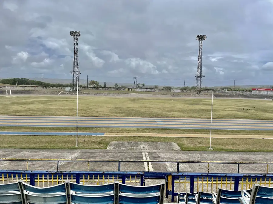
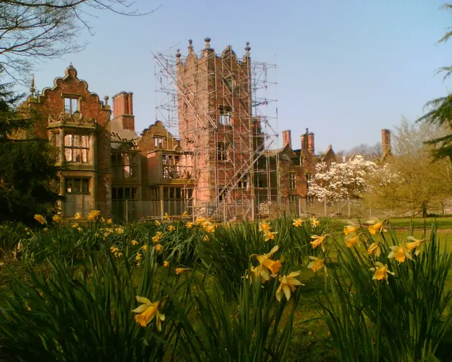
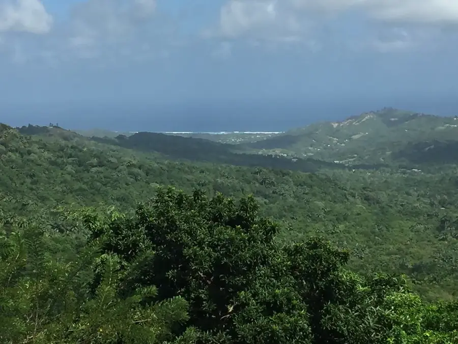
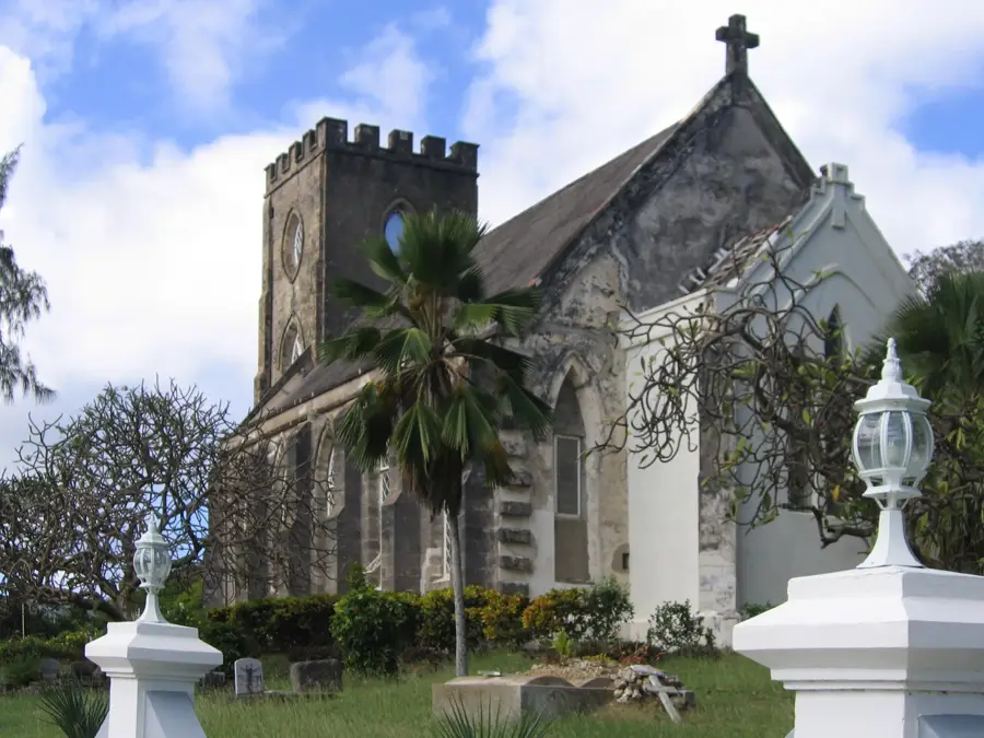
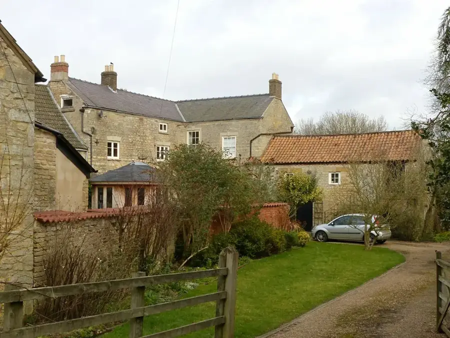
St. George's Valley is a broad, fertile basin running through the center of Barbados, long considered the island's agricultural heartland. Thanks to its deep clay soils and rich nutrient profile, the valley was for centuries the epicenter of sugar cane cultivation, which formed the backbone of the island's economy. Geographically, it is a wide depression tucked away between the coral limestone uplands and the southern ridges. The landscape remains dominated by sweeping agricultural fields and historic plantation houses that offer a glimpse into the island's colonial past. Beyond its economic importance, the valley serves as a natural drainage system for the surrounding highlands. For visitors, exploring St. George's Valley provides an authentic look at the Bajan countryside, where the focus remains on the land and the traditional farming practices that continue to sustain the nation.

Best time to visit & climate

The most pleasant time to visit is Jan–Mar.

JanFebMarAprMayJunJulAugSepOctNovDec
Avg °C262626272828282828282827
Rain mm34191928527274959813210749

📋 Practical info

🧭
Getting there
This expansive and fertile depression in the central part of Barbados is usually very easy to access via the island's main road network. Most visitors find that navigating the area by rental car or taking local buses provides a straightforward journey to the farmlands.
📅
Best season
While the area is accessible year-round, the drier season from December to May generally provides the most comfortable weather for exploration. Conversely, visiting during the wetter months often rewards travelers with exceptionally animated and lush green agricultural landscapes.
⛰️
Terrain & paths
The geography consists predominantly of flat to gently rolling land, heavily utilized for widespread agricultural purposes and sugar cane fields. Walking or hiking is typically restricted to unpaved agricultural tracks and quiet, narrow country lanes bordering the estates.
🎒
What to bring
Comfortable, closed-toe walking shoes are typically recommended, as the rural dirt roads can often be uneven, rocky, or muddy following a rain shower. Bringing adequate sun protection and plenty of bottled water is always advisable when exploring the open, unshaded valley.
🅿️
Parking
Because the valley covers such a broad geographical expanse, there are generally no centralized, designated tourist parking lots available. Drivers usually pull over safely onto the wider grassy shoulders of country roads or park within the small, scattered local villages.
⚠️
Safety
When walking along the local routes, pedestrians should remain vigilant and watch out for occasional agricultural machinery and regular road traffic. Otherwise, this rural heartland is generally considered very peaceful and largely free from any significant natural hazards.
⏱️
Time needed
A scenic drive through the area with a few brief stops to capture photographs of the fields usually takes around one to two hours. Visitors who prefer to take a leisurely walk along the farming tracks to soak in the rural atmosphere often extend their visit to a half day.

Geography

Coordinates
13.11670, -59.53330

Facts

  • Valley length: 8 km
  • Sugarcane production share: 30% of national total
  • Elevation range: 50-150 m
  • Annual rainfall: 1,500 mm
  • Population density: 100 people/km²
  • Historic plantation houses: 5

Explore nearby

Notable places around

Route planner — Car & Motorhome

Where do you start? We build the route here, with stops and country notes along the way.

Vehicle
Only stops with (optional):

© OpenStreetMap contributors · OpenRouteService

Sights in the town St. George's Valley (3)

Brighton, Barbados📍 landmark

Brighton is a locality on Barbados' west coast, known for its beach.

Boarded Hall, Barbados📍 landmark

Boarded Hall is a settlement in the interior of Barbados.

Bulkeley, Saint George, Barbados📍 landmark

Bulkeley is a place in Saint George parish, surrounded by hills.

Sights nearby

Frequently asked questions

What makes the valley special?
It is the agricultural heart of Barbados, known for its vast sugarcane fields.
What tourist attraction is located there?
Gun Hill Signal Station has one of the best panoramic views over the valley.
Can you explore the valley by bike?
Yes, the rolling hills and quiet backroads are convenient for cycling.
When is the harvest season?
The sugarcane harvest typically takes place between February and June.
Are there hiking trails?
There are no official hiking trails, but many country roads are great for walking.
St. George's Valley: where is it located?
St. George's Valley is located in Barbados.
St. George's Valley: what is there to see?
Highlights include Brighton, Barbados, Boarded Hall, Barbados, Bulkeley, Saint George, Barbados.
St. George's Valley: when is the best time to visit?
The most pleasant time to visit is Jan, Mar.
View on map → The Top 50 Attractions → OpenStreetMap →
North America
Explore with Plizio Discover more places in North America

Nearby cities