Plizio Visual Lab
Mount Misery
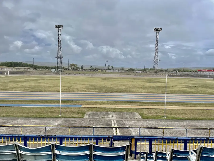
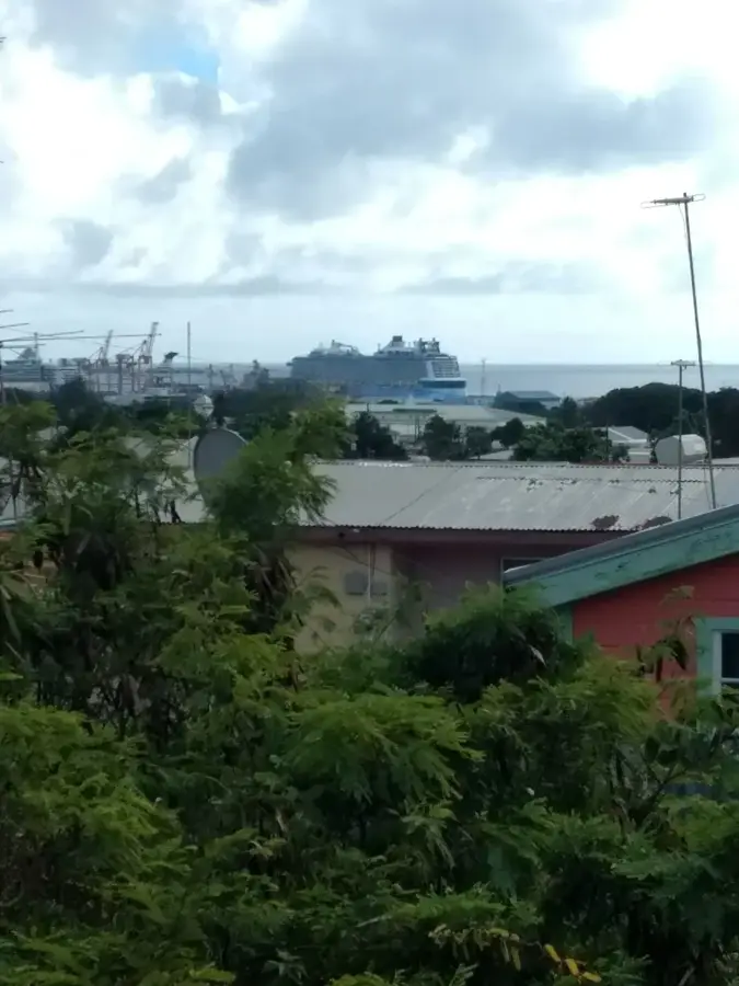
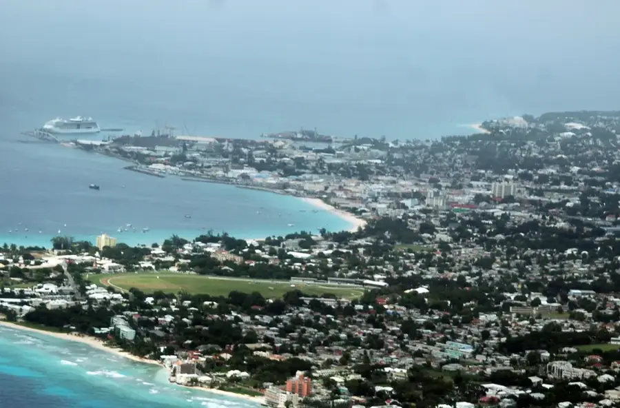
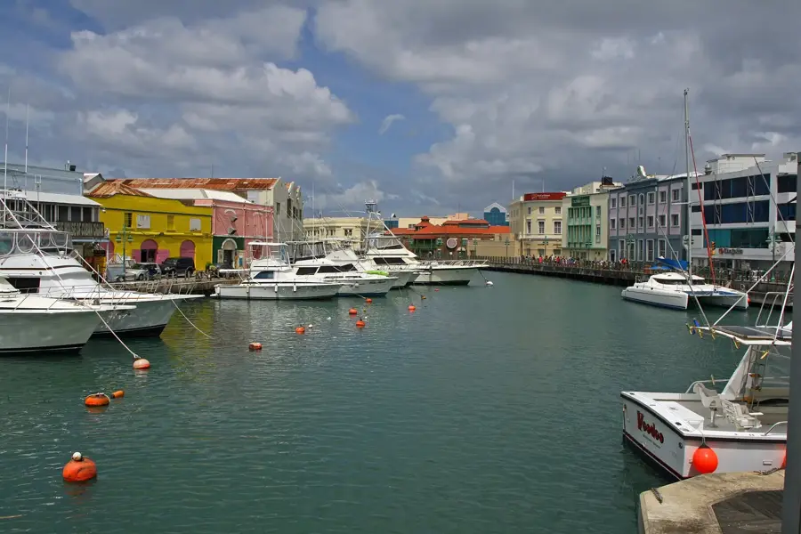
Mount Misery, located in the parish of St. Thomas, is one of the most prominent elevations in the central uplands of Barbados. Reaching an elevation of approximately 320 meters, it provides a fascinating look at the island's geological formation, which is predominantly limestone-based. The area surrounding Mount Misery is characterized by lush greenery and deep gullies formed by the erosion of the soft rock. Historically, these uplands were the heart of the island's sugarcane production, and remnants of old plantation estates can still be found in the vicinity. For hikers and nature enthusiasts, the region has various trails through dense forests, providing panoramic views over the gently rolling hills toward the coastline. The cooler temperatures at this altitude make Mount Misery a refreshing destination for those looking to explore Barbados' interior landscapes beyond the traditional beach resorts.
- Location: Barbados
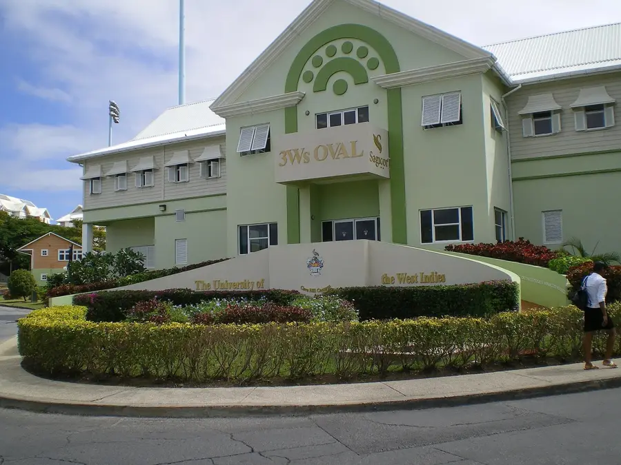
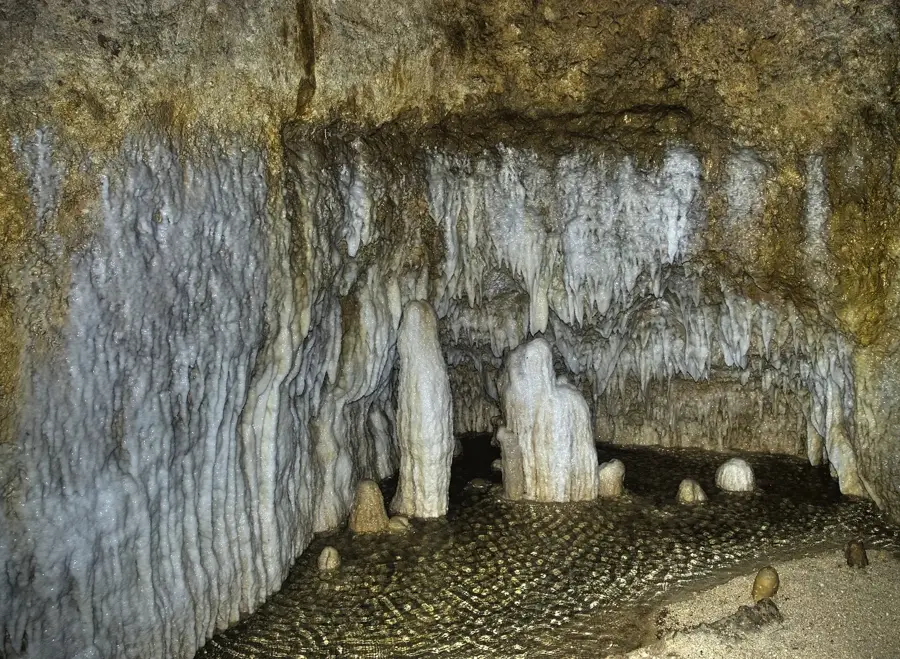
- Top sights: Saint Thomas, Barbados · Harrison's Cave · Carrington, Barbados
- Nearby: Green Hill (4 km)
Best time to visit & climate
The most pleasant time to visit is Jan–Mar.
| Jan | Feb | Mar | Apr | May | Jun | Jul | Aug | Sep | Oct | Nov | Dec | |
|---|---|---|---|---|---|---|---|---|---|---|---|---|
| Avg °C | 26 | 26 | 26 | 27 | 28 | 28 | 28 | 28 | 28 | 28 | 28 | 27 |
| Rain mm | 34 | 19 | 19 | 28 | 52 | 72 | 74 | 95 | 98 | 132 | 107 | 49 |
📋 Practical info
Geography
Facts
- Height: 340 m
- Average temperature: 20°C
- Annual rainfall: 2000 mm
- Endemic plants: 7
- Summit area: 500 m²
- First ascent: 1600s (by settlers)
Explore nearby
Notable places around
Route planner — Car & Motorhome
Where do you start? We build the route here, with stops and country notes along the way.
© OpenStreetMap contributors · OpenRouteService
Sights in the town Mount Misery (3)
Sights nearby
Frequently asked questions
Why is it called Mount Misery?
Is Mount Misery higher than Mount Hillaby?
Can you hike to the summit?
What is the best season for a hike?
Are there guided tours?
Mount Misery: where is it located?
Mount Misery: what is there to see?
Mount Misery: when is the best time to visit?
Mount Misery: why is it worth visiting?

Nearby cities