Plizio Visual Lab
Four Roads
ℹ️Practical info — Four Roads
▾
🌤 Weather — 5 days
📍 Nearby
Sights nearby
💡 Tips
- Rent a car to explore St. Philip, as public transport is less frequent around this crossroads.
- Visit nearby local rum shops to experience authentic Bajan village life.
- Watch out for large cane trucks on the country roads during the sugar harvest season.
- Combine your visit with a trip to the nearby Sunbury Plantation House for local history.
🍽 Food
A popular baked comfort food often served at small rum shops around the crossroads.
Traditional Barbadian comfort food found in local unassuming eateries throughout St. Philip.
A local pickled pork specialty usually sold on Saturdays at village food stalls.
🛍 Shopping · 🧘 Quiet spots
Buy fresh fruit and vegetables from small agricultural stands along the rural roads.
Neighborhood rum shops offer bottles of local rum and authentic snacks to take away.
Explore the quiet agricultural roads away from the main intersection for a peaceful morning stroll.
Take a short drive towards the dramatic Atlantic coast to enjoy crowd-free cliffside vistas.
Water temperature…
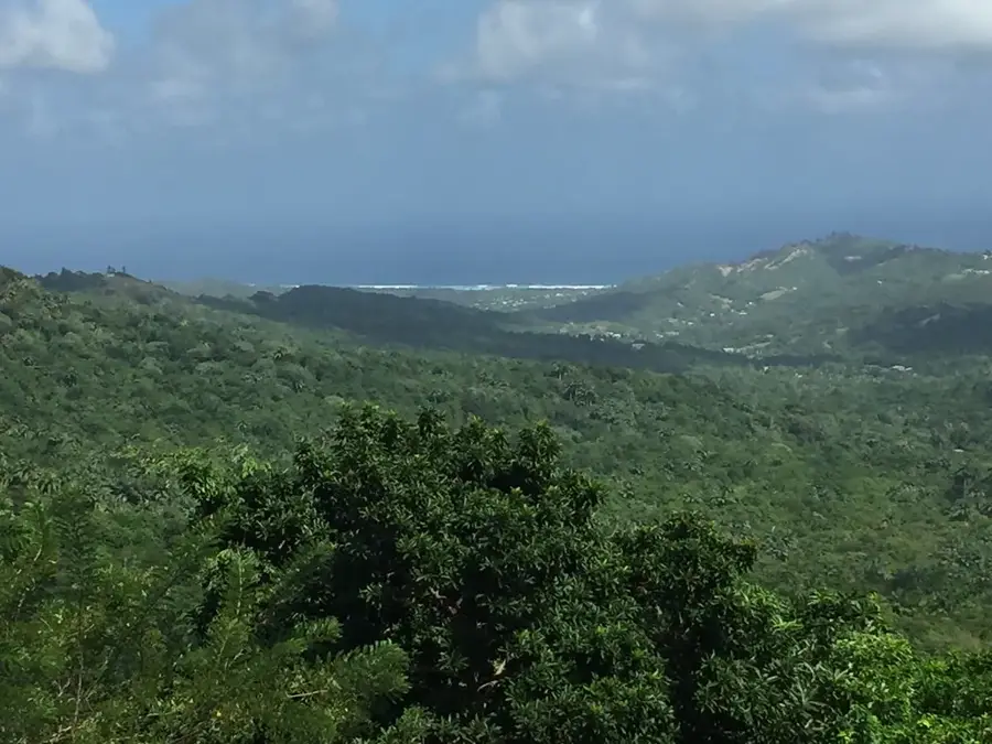
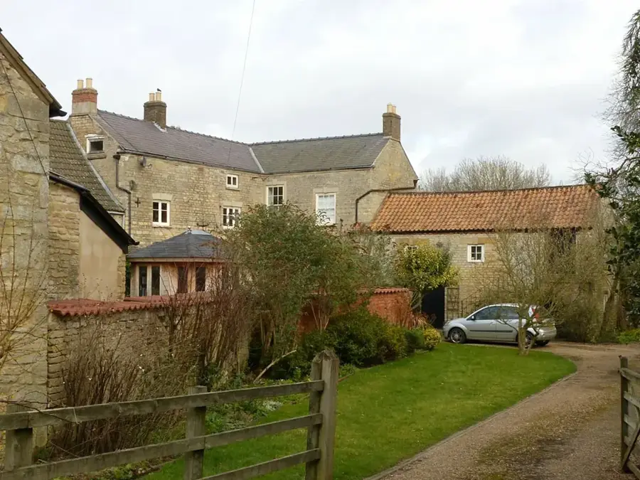
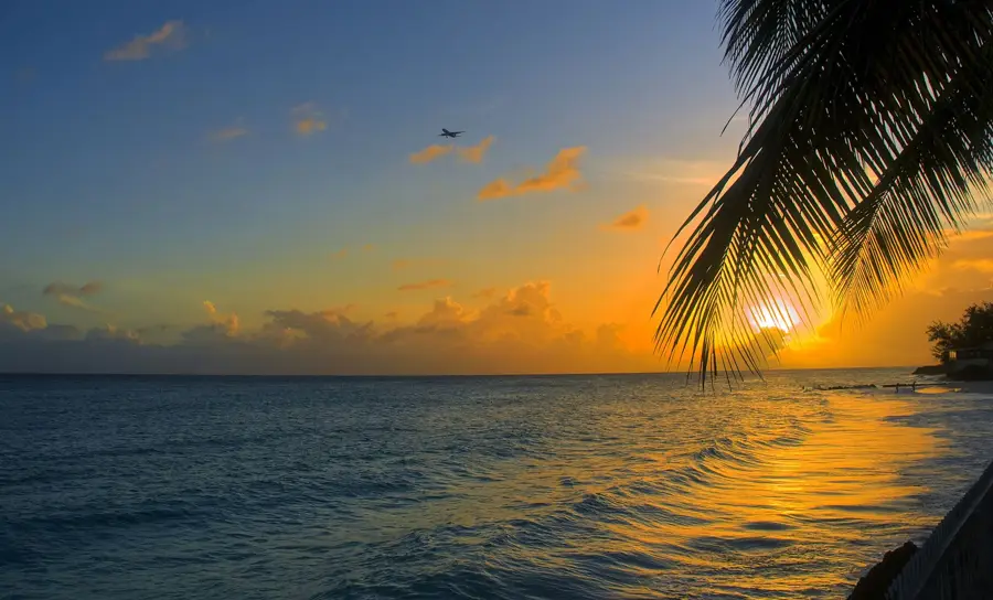
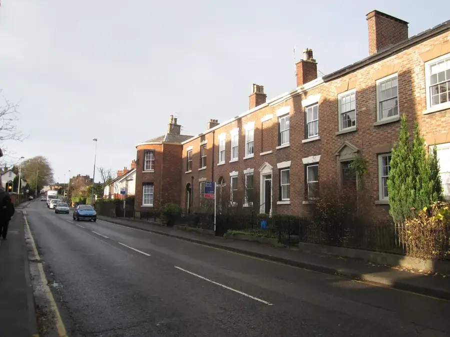
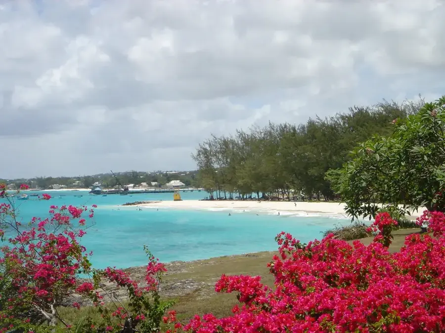
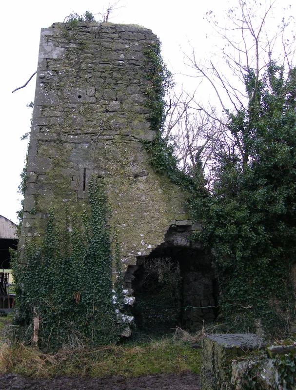
Four Roads is a welcoming and growing community located in the parish of Saint Philip, on the southeastern side of Barbados. Named after the significant junction where four main roads meet, it acts as a central artery connecting the rural hinterland with the coastal settlements of the east and south. This area is known for preserving a traditional Barbadian atmosphere, characterized by its iconic 'village shops' and rum shops that serve as local landmarks and social hubs. Unlike the heavily developed west coast, Four Roads provides a more rustic experience of island life, surrounded by vast fields that once formed the backbone of the local sugar industry. Nearby historical attractions like the Sunbury Plantation House provide a window into the island's 17th-century colonial past. Recently, the area has transitioned into a popular residential neighborhood for those seeking a quiet lifestyle within easy reach of the Atlantic coast. Its open landscapes and steady trade winds make it a pleasant stop for anyone exploring the scenic, rugged beauty of the Saint Philip countryside.
- Location: Barbados
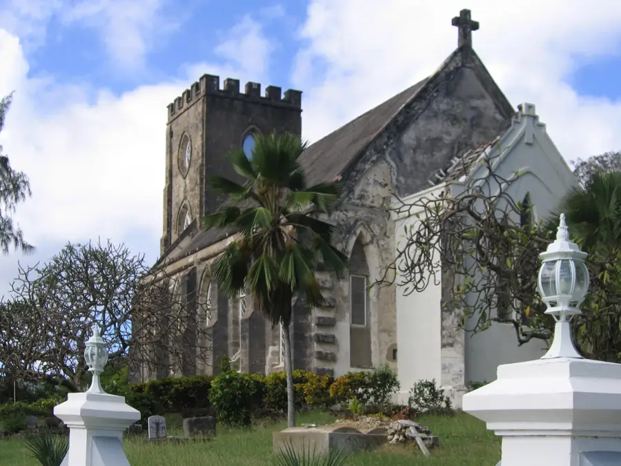
- Top sights: Union Hall Great House · Jezreel Great House
- Nearby: Drax Hall (4 km)
- Population: ~1.005 (2025)
Best time to visit & climate
The most pleasant time to visit is Jan–Mar.
| Jan | Feb | Mar | Apr | May | Jun | Jul | Aug | Sep | Oct | Nov | Dec | |
|---|---|---|---|---|---|---|---|---|---|---|---|---|
| Avg °C | 26 | 26 | 26 | 27 | 28 | 28 | 28 | 28 | 28 | 28 | 28 | 27 |
| Rain mm | 34 | 19 | 19 | 28 | 52 | 72 | 74 | 95 | 98 | 132 | 107 | 49 |
Geography
Facts
- Population: approx. 500
- Elevation: 50 m (164 ft)
- Distance to Bridgetown: 8 km (5 mi)
- Annual rainfall: 1,300 mm (51 in)
- Number of shops: 5
- Historic sugar mill built: 1850
Explore nearby
Notable places around
Route planner — Car & Motorhome
Where do you start? We build the route here, with stops and country notes along the way.
© OpenStreetMap contributors · OpenRouteService
Sights in the town Four Roads (2)
Frequently asked questions
What is Four Roads?
Can you go shopping there?
Is it worth a stop as a tourist?
What is the traffic situation?
Are there accommodations there?
Four Roads: where is it located?
Four Roads: what is there to see?
Four Roads: when is the best time to visit?
Four Roads: why is it worth visiting?

Nearby cities