Plizio Visual Lab
Bathsheba Rocks
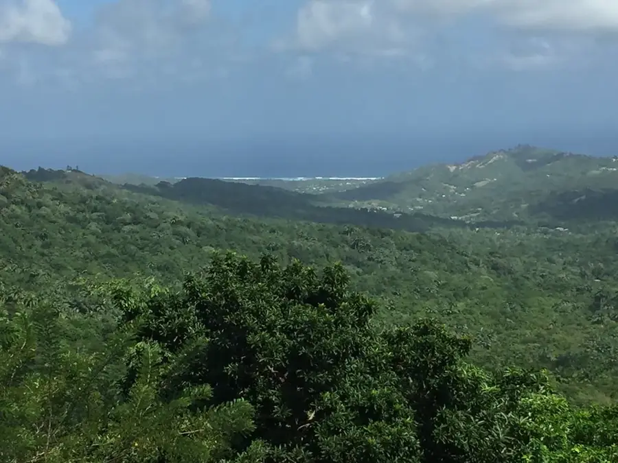
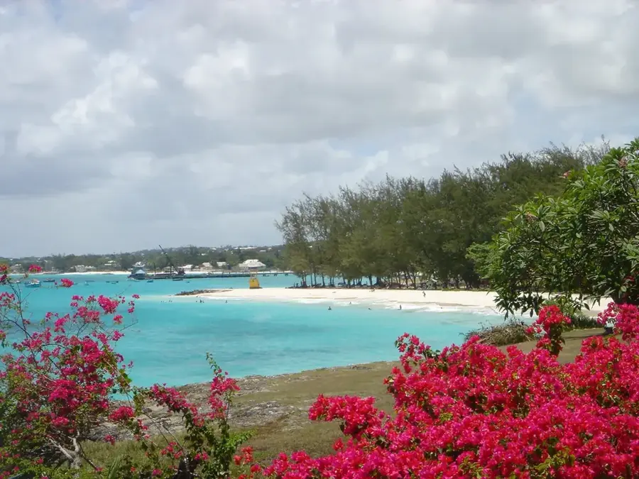
Bathsheba Rocks are a distinctive coastal rock formation on eastern Barbados, consisting of coral limestone eroded by relentless Atlantic swell for millennia. The rocks rise up to 15 meters above sea level and form natural sculptures, including the famous 'Soup Bowl' surf break. Geologically, they belong to the Pleistocene coral reef terraces, dating back 125,000 years. The area experiences strong coastal erosion, with an average rate of 1-2 meters per century. Bathsheba is part of the Scotland District, a region characterized by rugged terrain and badlands. The rocks provide nesting sites for the endangered hawksbill turtle and host diverse intertidal fauna. Tourism is significant, with visitor numbers exceeding 50,000 annually, drawn by hiking, photography, and surfing.
- Location: Barbados
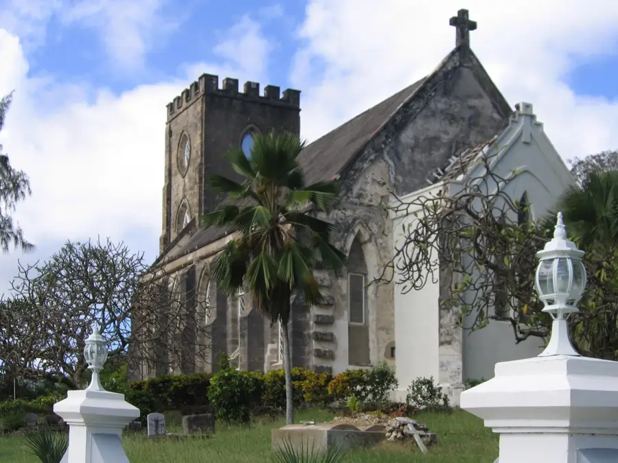
- Top sights: Bathsheba, Barbados · Joes River · Andromeda Botanic Gardens
- Nearby: Massiah Street (4 km)
Best time to visit & climate
The most pleasant time to visit is Jan–Mar.
| Jan | Feb | Mar | Apr | May | Jun | Jul | Aug | Sep | Oct | Nov | Dec | |
|---|---|---|---|---|---|---|---|---|---|---|---|---|
| Avg °C | 26 | 26 | 26 | 27 | 28 | 28 | 28 | 28 | 28 | 28 | 28 | 27 |
| Rain mm | 34 | 19 | 19 | 28 | 52 | 72 | 74 | 95 | 98 | 132 | 107 | 49 |
📋 Practical info
Geography
Facts
- Maximum rock height: 15 m above sea level
- Geological age: 125,000 years (Pleistocene)
- Protected area size: 2 hectares
- Annual visitor count: ~50,000
- Average water temperature: 26-28°C
- Nesting hawksbill turtles per season: ~30 females
Explore nearby
Notable places around
Route planner — Car & Motorhome
Where do you start? We build the route here, with stops and country notes along the way.
© OpenStreetMap contributors · OpenRouteService
Sights in the town Bathsheba Rocks (3)
Sights nearby
Frequently asked questions
What is the Soup Bowl?
Can you swim near the rocks?
Where do the rock formations come from?
Are there picnic spots?
How much time should we spend?
Bathsheba Rocks: where is it located?
Bathsheba Rocks: what is there to see?
Bathsheba Rocks: when is the best time to visit?
Bathsheba Rocks: why is it worth visiting?

Nearby cities