Plizio Visual Lab
Tangail
ℹ️Practical info — Tangail
▾
🌤 Weather — 5 days
📍 Nearby
Sights nearby
💡 Tips
- Visit the local weavers in Pathrail or Delduar early in the morning to see the looms in action.
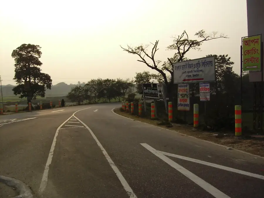
- Rickshaws are the most convenient way to navigate the narrow village roads around the handloom centers.
- Be prepared for bargaining when buying sarees directly from the weavers' homes.
- The area is prone to heavy traffic when leaving Dhaka, so start your journey early.
🍽 Food
Traditional sweet particularly famous from the Porabari area, look for it in local sweet shops.
Sweet, fresh pineapples best bought at local markets or roadside stalls in the Madhupur tract.
Mashed vegetables and fish mixed with spices, commonly served at simple highway eateries.
🛍 Shopping · 🧘 Quiet spots
Beautifully handwoven sarees; best purchased directly in the weaver village of Pathrail.
Local baskets and decorative bamboo crafts can be found at the weekly village markets.
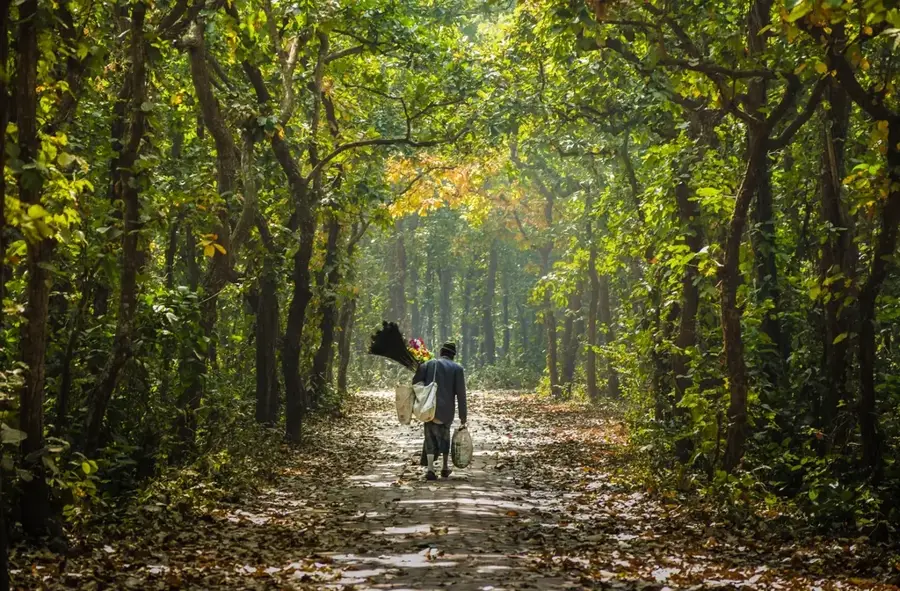
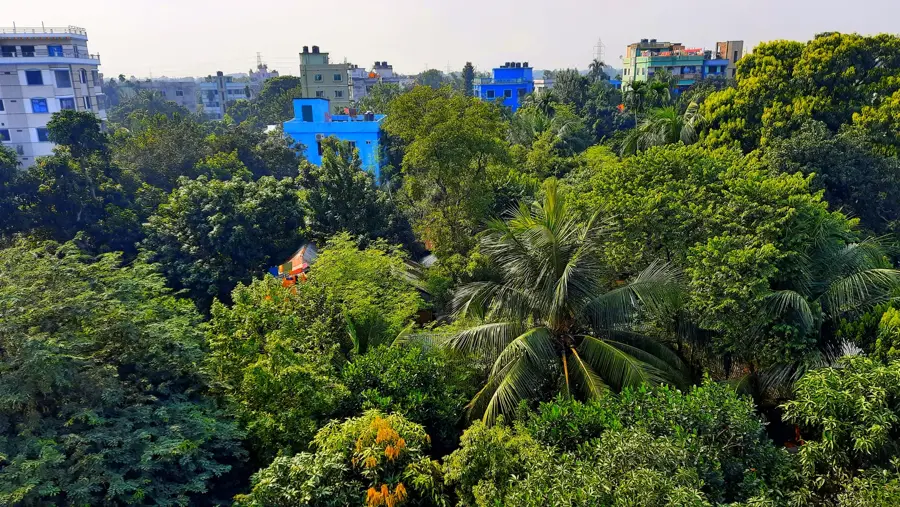
A dense Sal forest area good for a quiet retreat into nature.
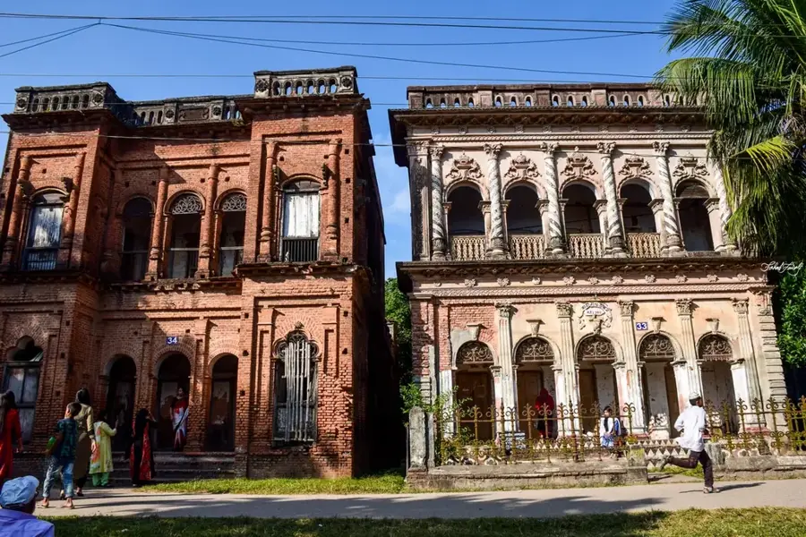
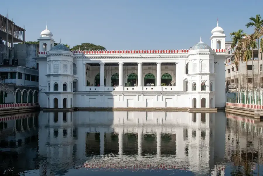
A well-preserved historic estate featuring large ponds and peaceful gardens.
Water temperature…
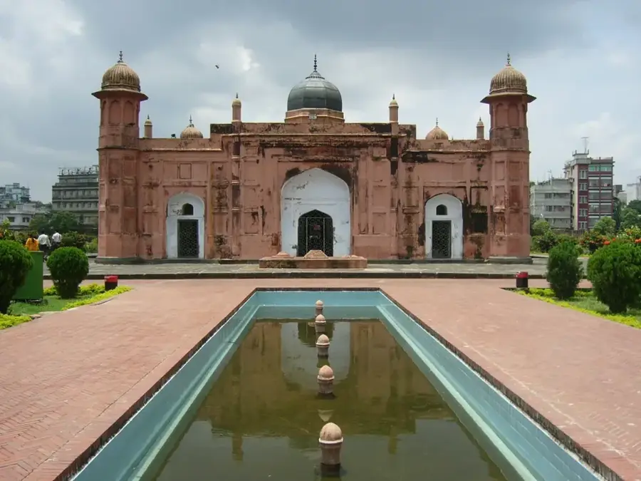
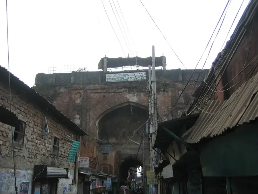
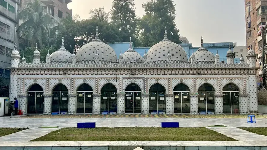
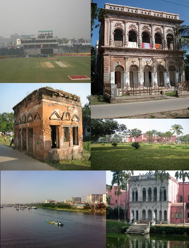
Tangail is a lively district in central Bangladesh, located on the banks of the Louhajang River and part of the Dhaka Division. It is internationally famous for its unique handloom weaving tradition, particularly the Tangail Saree, which is prized for its fine craftsmanship and elegant designs. The region is also home to the Madhupur Forest, one of the largest deciduous Sal forests in the country, which provides habitat for diverse wildlife and is a center for pineapple and rubber production. Historically, Tangail has many significant sites, including the Atia Mosque, a striking 17th-century structure featured on the national currency, and the ruins of several ancient palaces. The city is also renowned for its traditional sweets, especially the 'Chomchom' of Porabari, which has been a local delicacy for over a century. With a rich history of folk music and literature, Tangail remains a key cultural and economic hub.
- Location: Bangladesh
- Top sights: Shilpokola Academy · Shahid Minar
- Nearby: Faridpur (9 km)
- Population: ~180.144 (2026)
Best time to visit & climate
The most pleasant time to visit is Feb, Nov, Dec.
| Jan | Feb | Mar | Apr | May | Jun | Jul | Aug | Sep | Oct | Nov | Dec | |
|---|---|---|---|---|---|---|---|---|---|---|---|---|
| Avg °C | 17 | 21 | 27 | 30 | 30 | 29 | 29 | 29 | 28 | 26 | 22 | 18 |
| Rain mm | 12 | 18 | 45 | 156 | 274 | 362 | 387 | 315 | 286 | 184 | 17 | 11 |
Geography
Facts
- The Atia Mosque, built in 1609, is an iconic example of Mughal-era architecture in the region.
- Tangail sarees are recognized globally for their distinct weaving technique and soft texture.
- Madhupur Forest is one of the last remaining natural forests in the central part of Bangladesh.
- The district was officially separated from Mymensingh to become a full district in 1969.
- Tangail is the birthplace of many famous personalities, including Maulana Abdul Hamid Khan Bhashani.
- The Bangabandhu Bridge, which connects Tangail with Sirajganj, is one of the longest bridges in South Asia.
Explore nearby
Notable places around
Route planner — Car & Motorhome
Where do you start? We build the route here, with stops and country notes along the way.
© OpenStreetMap contributors · OpenRouteService
Sights in the town Tangail (2)
Frequently asked questions
What is Tangail world-famous for?
Which historical mosque should I see?
Are there old mansions?
What is Porabari Chamcham?
How long is the drive from Dhaka?
Tangail: where is it located?
Tangail: what is there to see?
Tangail: when is the best time to visit?
Tangail: why is it worth visiting?

Nearby cities
More places