Plizio Visual Lab
Grand Bahama's Pine Barrens
Weather…
Water temperature…
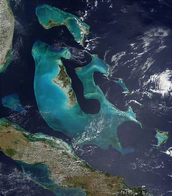
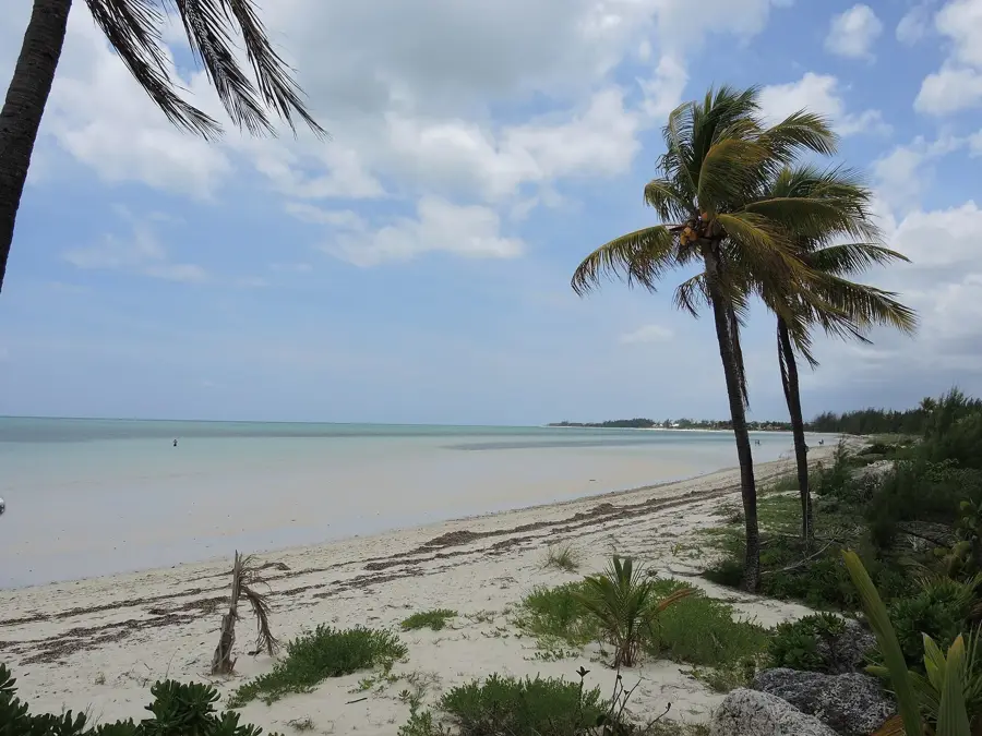
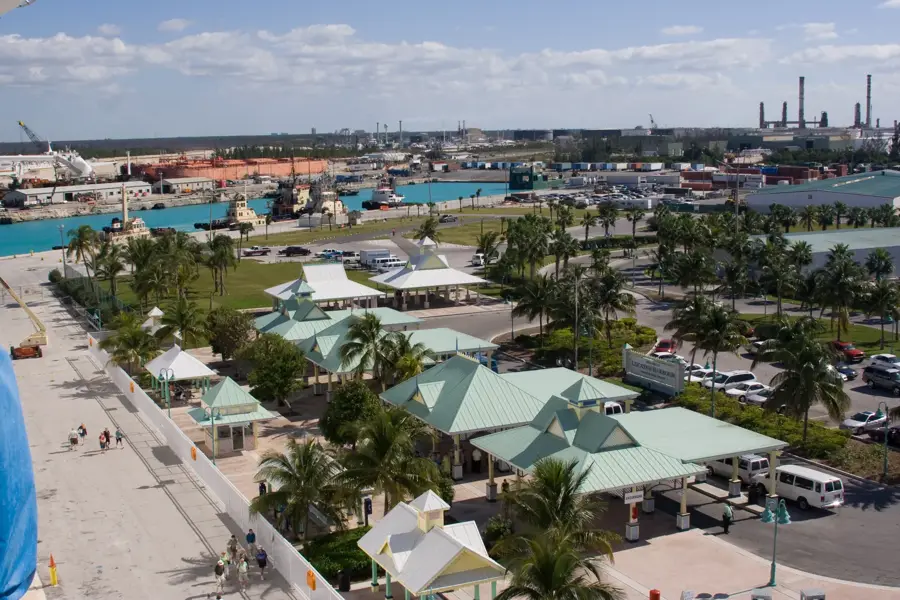
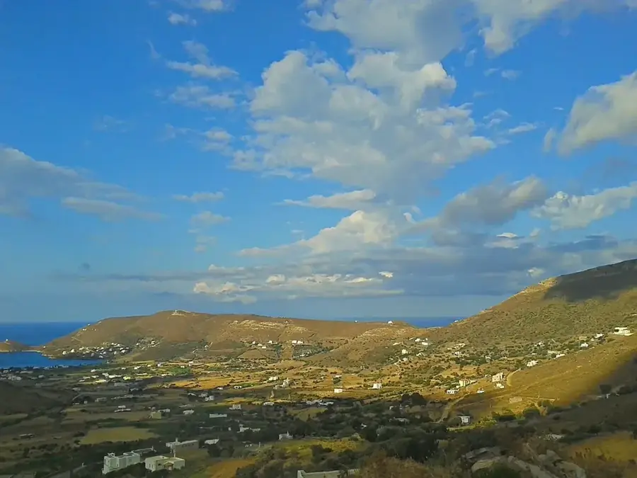
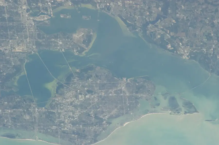
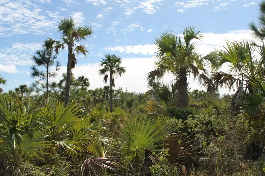
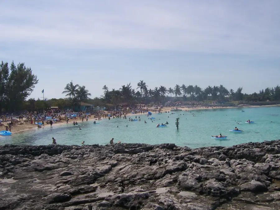
Grand Bahama, the northernmost island in the archipelago, is characterized by its extensive pine barrens, a unique forest ecosystem dominated by the Caribbean Pine (Pinus caribaea). These forests grow on a low-relief limestone plateau that formed during the Pleistocene and Holocene epochs. The pine barrens play a crucial role in the island's hydrology, facilitating the recharge of the freshwater lens that residents depend on. Geographically, Grand Bahama spans 1,373 square kilometers and features one of the world's longest underwater limestone cave systems, located within Lucayan National Park, which was established in 1982. This subterranean relief stretches for over 10 kilometers and was explored extensively during the late 20th century. Historically, the pine forests were a source of timber and resin, but today they are primarily valued for their ecological significance and biodiversity. The island's relief also includes mangrove swamps and coastal dunes that protect against hurricane storm surges. Rapid development in Freeport during the 1950s led to significant changes in land use, yet large areas of protected pine barrens remain.
- Location: Bahamas
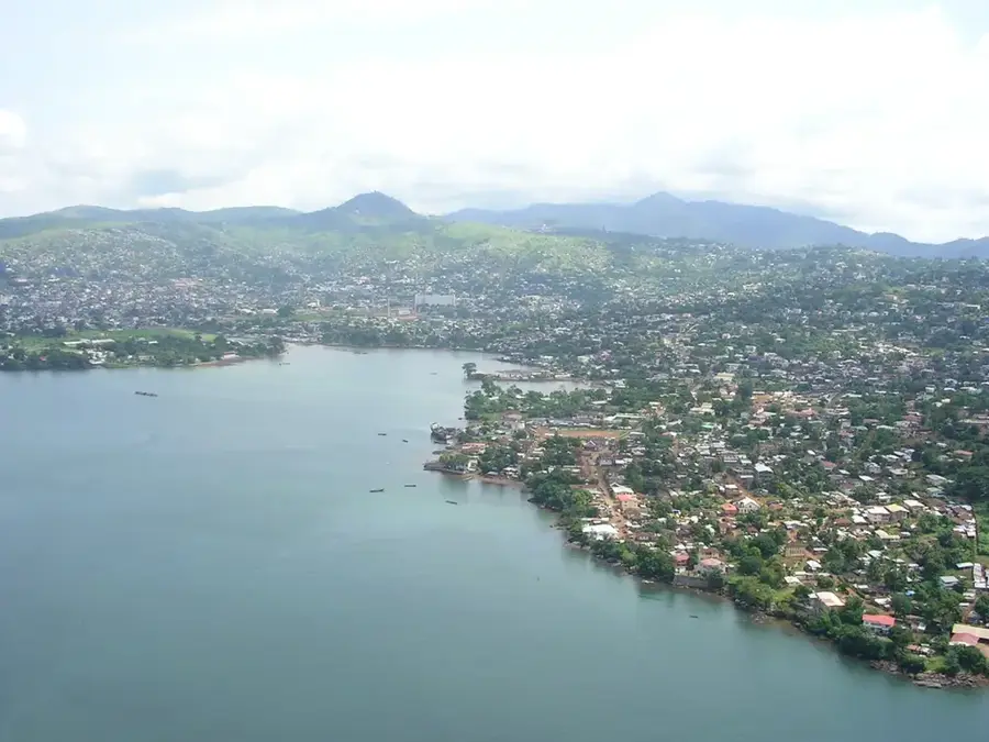
- Nearby: Freetown (9 km)
Best time to visit & climate
The most pleasant time to visit is Jan, Feb, Dec.
| Jan | Feb | Mar | Apr | May | Jun | Jul | Aug | Sep | Oct | Nov | Dec | |
|---|---|---|---|---|---|---|---|---|---|---|---|---|
| Avg °C | 22 | 22 | 23 | 24 | 26 | 28 | 29 | 29 | 28 | 27 | 25 | 23 |
| Rain mm | 46 | 46 | 60 | 72 | 113 | 162 | 152 | 161 | 196 | 108 | 55 | 48 |
📋 Practical info
Geography
Facts
- Grand Bahama covers a total land area of 530 square miles (1,373 sq km).
- The Lucayan National Park was established in 1982 near Freeport.
- Underwater cave systems on the island extend for more than 6 miles.
- The Caribbean Pine is the primary canopy tree in the pine barren ecosystem.
- Freeport was developed as a free trade zone starting in the year 1955.
- The island's highest point is a limestone ridge reaching 21 meters in elevation.
Explore nearby
Notable places around
Route planner — Car & Motorhome
Where do you start? We build the route here, with stops and country notes along the way.
© OpenStreetMap contributors · OpenRouteService
Sights nearby
Frequently asked questions
What are the pine barrens?
Can you go birdwatching there?
Are there hiking trails?
How did Hurricane Dorian affect the forests?
When is the flowering season of native plants?
Grand Bahama's Pine Barrens: where is it located?
Grand Bahama's Pine Barrens: when is the best time to visit?
Grand Bahama's Pine Barrens: why is it worth visiting?

Nearby cities


History & landmarks
Nature
More places