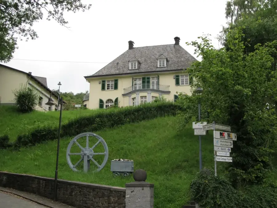
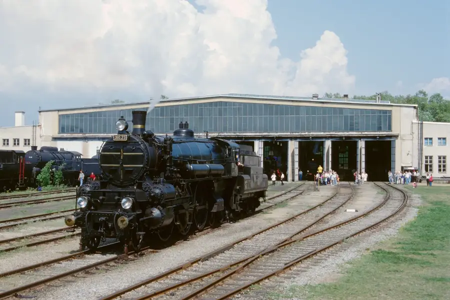
Dampfmaschinenmuseum🏛 museum
A museum dedicated to the history and technology of historical steam engines.
🌐 dampfmaschinen-museum.at🕒 Apr-Oct Sa,Su 09:00-18:00
Plizio Visual Lab

Weather…
Water temperature…
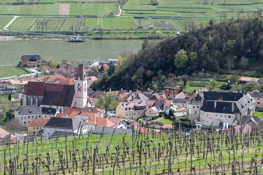
The Donau-Auen National Park stretches between the cities of Vienna and Bratislava, protecting one of the last large, undisturbed river floodplain landscapes in Central Europe. Established in 1996, it covers an area of approximately 9,300 hectares along a 38-kilometre stretch of the Danube. The landscape is shaped by the continuous fluctuations in water levels, creating a dynamic environment with oxbow lakes, tributaries, and extensive gallery forests. This ecological dynamism supports immense biodiversity; over 800 plant species and rare animals such as the white-tailed eagle, European pond turtle, and kingfisher find well-suited living conditions here. The national park also serves as a crucial flood protection area and secures drinking water supplies for the surrounding regions. Visitors can explore the area on cycling and hiking trails or via guided canoe tours. The schlossorth National Park Centre in Orth an der Donau acts as a central information hub and hosts exhibitions on floodplain ecology. Preserving this ecological corridor is of international significance for nature conservation in the Danube basin.
The most pleasant time to visit is Jun–Aug.
| Jan | Feb | Mar | Apr | May | Jun | Jul | Aug | Sep | Oct | Nov | Dec | |
|---|---|---|---|---|---|---|---|---|---|---|---|---|
| Avg °C | -2 | 0 | 4 | 10 | 14 | 19 | 21 | 20 | 15 | 10 | 4 | 0 |
| Rain mm | 43 | 38 | 46 | 41 | 85 | 91 | 88 | 87 | 79 | 54 | 45 | 43 |
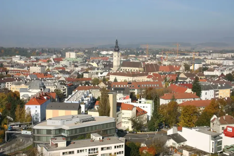
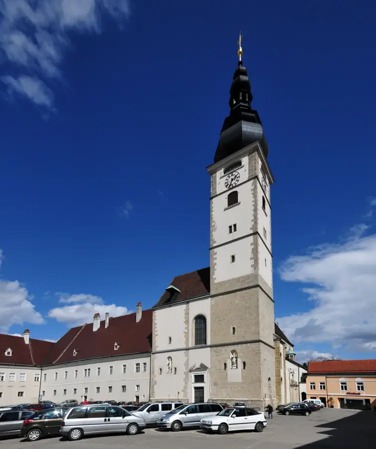
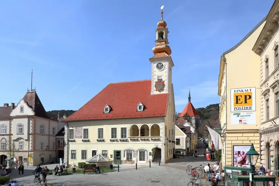
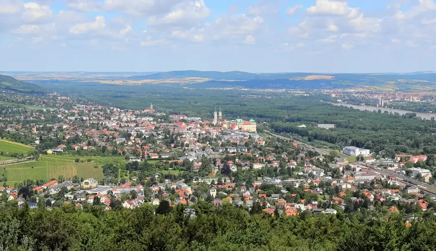
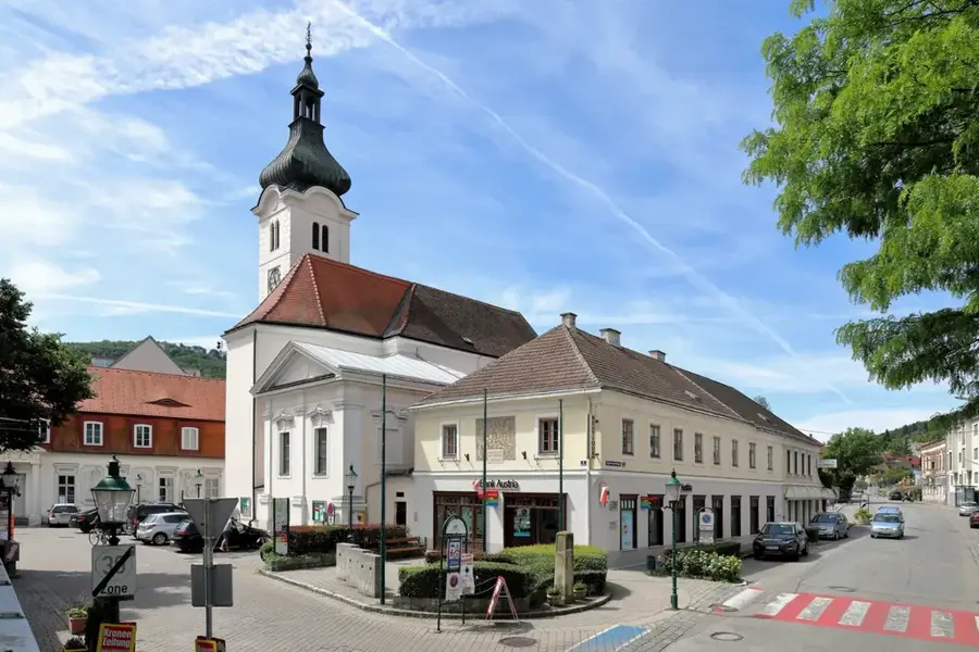
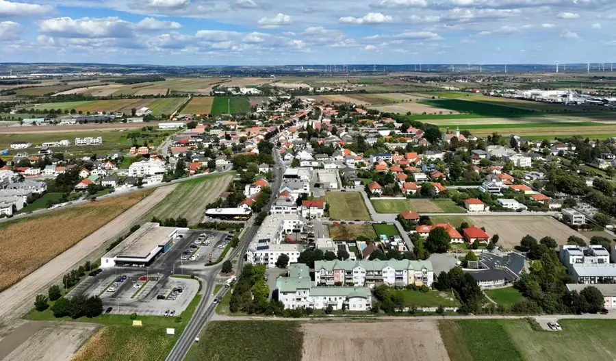
Notable places around
Where do you start? We build the route here, with stops and country notes along the way.
© OpenStreetMap contributors · OpenRouteService
A museum dedicated to the history and technology of historical steam engines.