Plizio Visual Lab
Warooka
ℹ️Practical info — Warooka
▾
🌤 Weather — 5 days
📍 Nearby
Sights nearby
💡 Tips
- Stock up on supplies and fuel here before heading further south into Dhilba Guuranda-Innes National Park.
- The town is surrounded by barley fields; drive carefully during harvest season due to heavy farm machinery.
- Visit the local museum to understand the rich Irish farming heritage of the region.
- Stop by the local bakery early in the morning for fresh pies and pasties before they sell out.
🍽 Food
Grab a traditional Australian meat pie from the bakery on the main street.
Enjoy a hearty chicken parmigiana at the historic local hotel.
While not on the coast, the pub often serves fresh seafood caught from the nearby Yorke Peninsula waters.
🛍 Shopping · 🧘 Quiet spots
Look for local honey and preserves sold in the town's general store.
The local hardware and agricultural stores offer a glimpse into the everyday life of the farming community.
A short drive from town, well-suited for a quiet walk on pristine white sand.
A peaceful spot for a picnic, often surrounded by grazing kangaroos at dusk.
Water temperature…
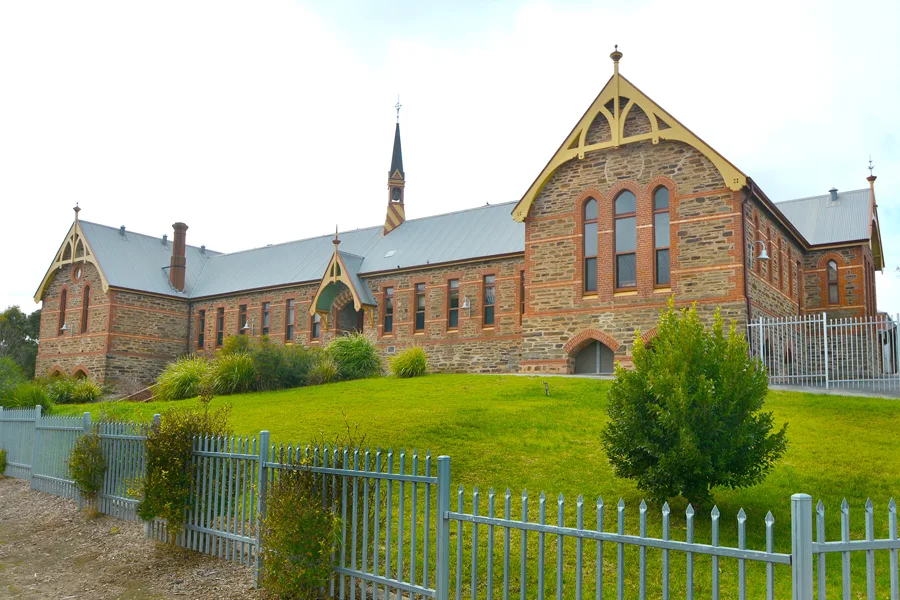
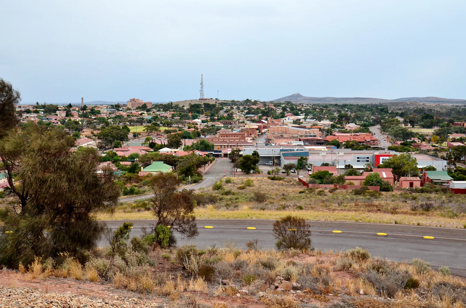
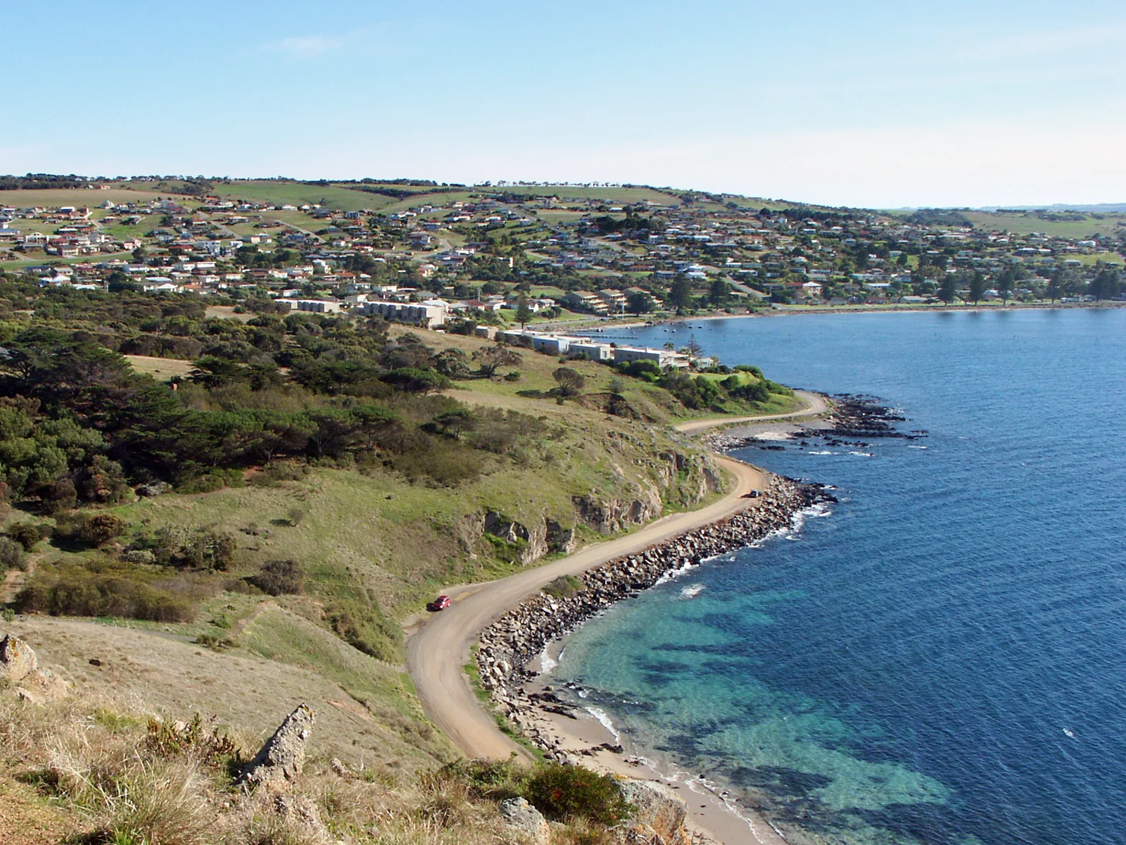
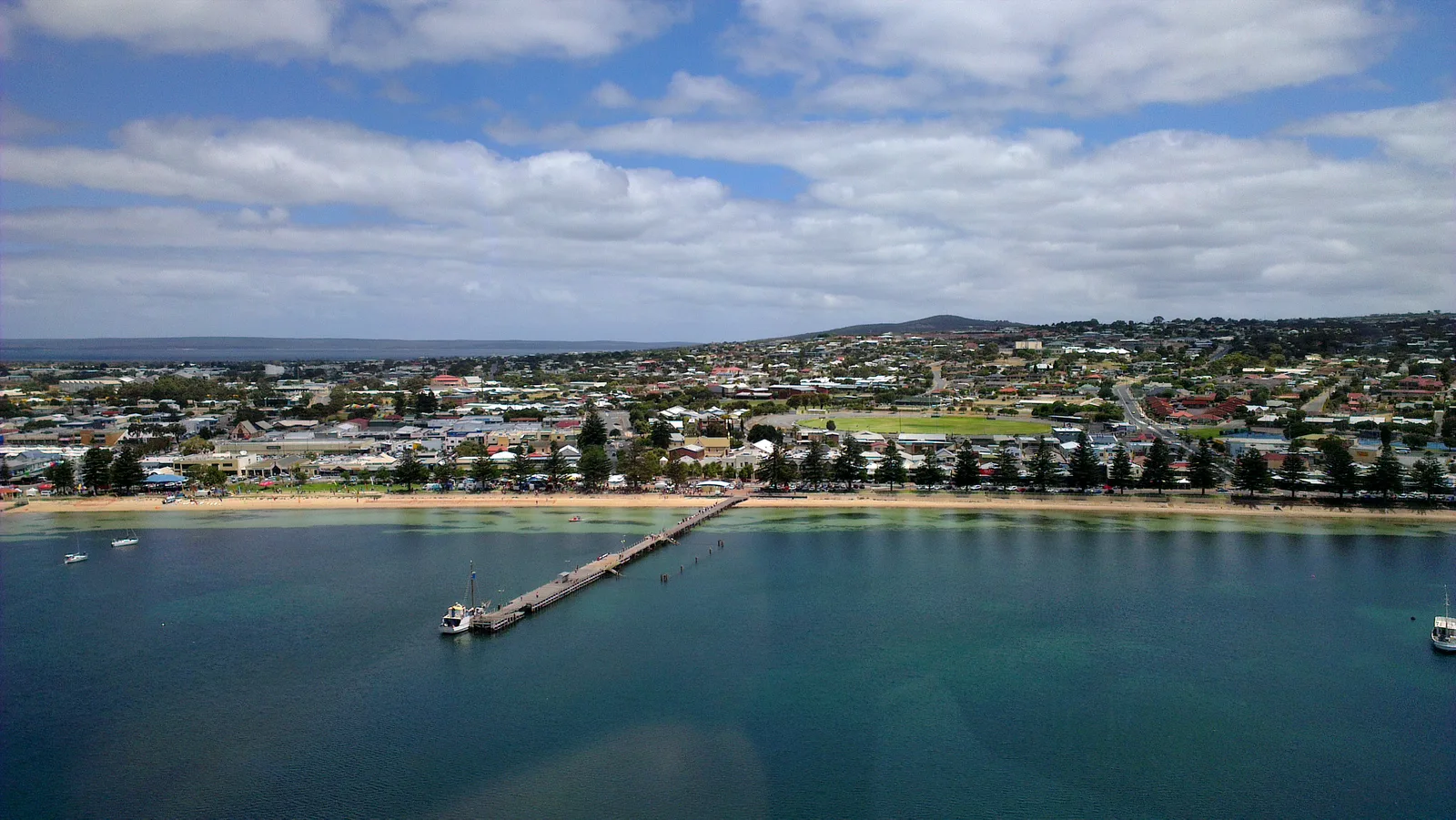
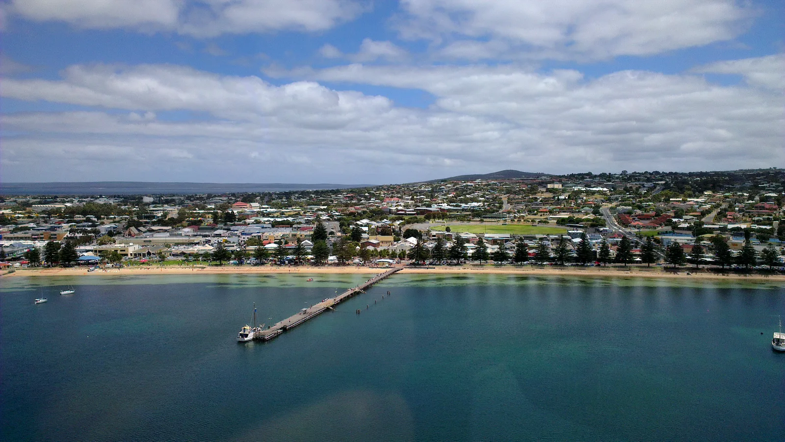
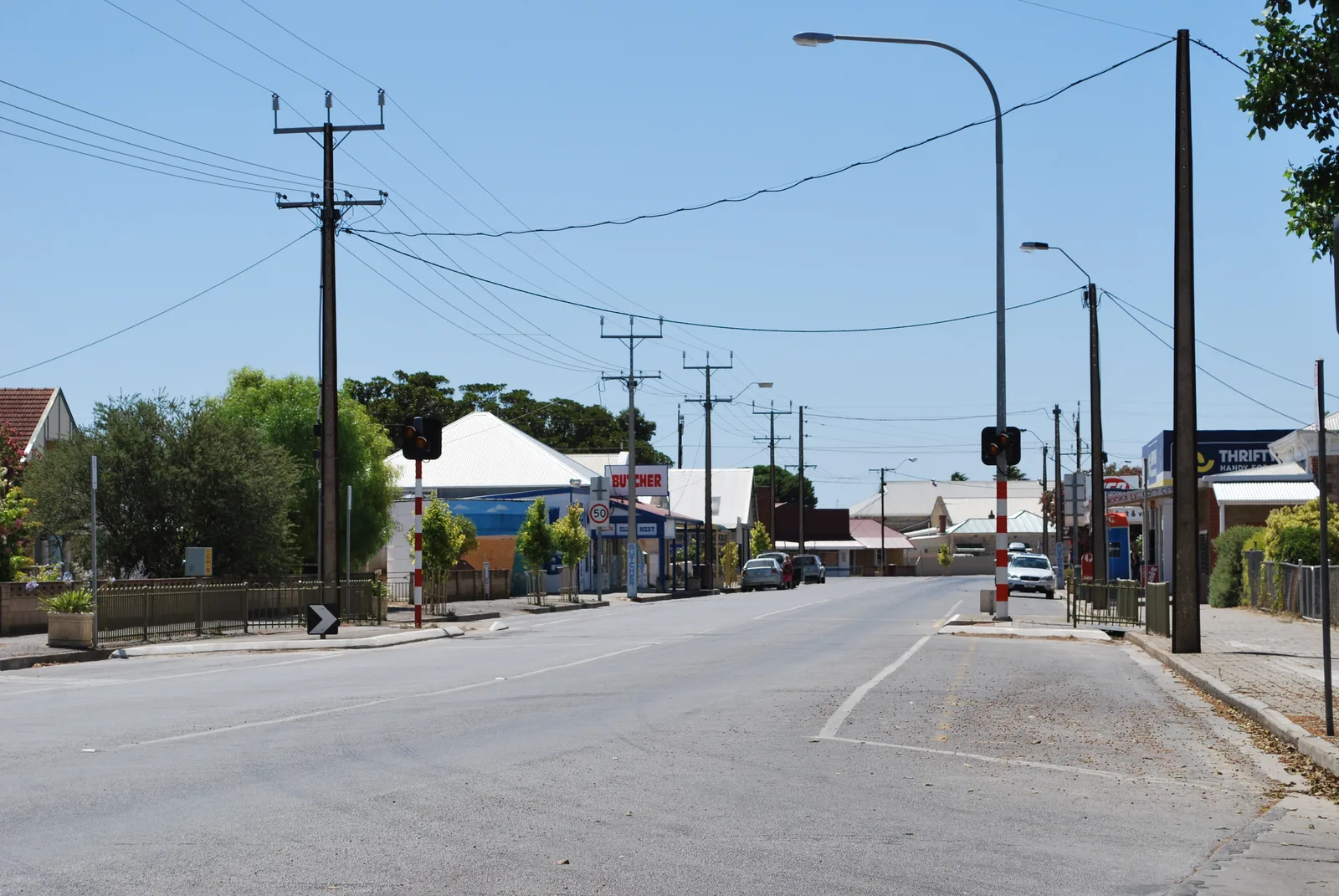
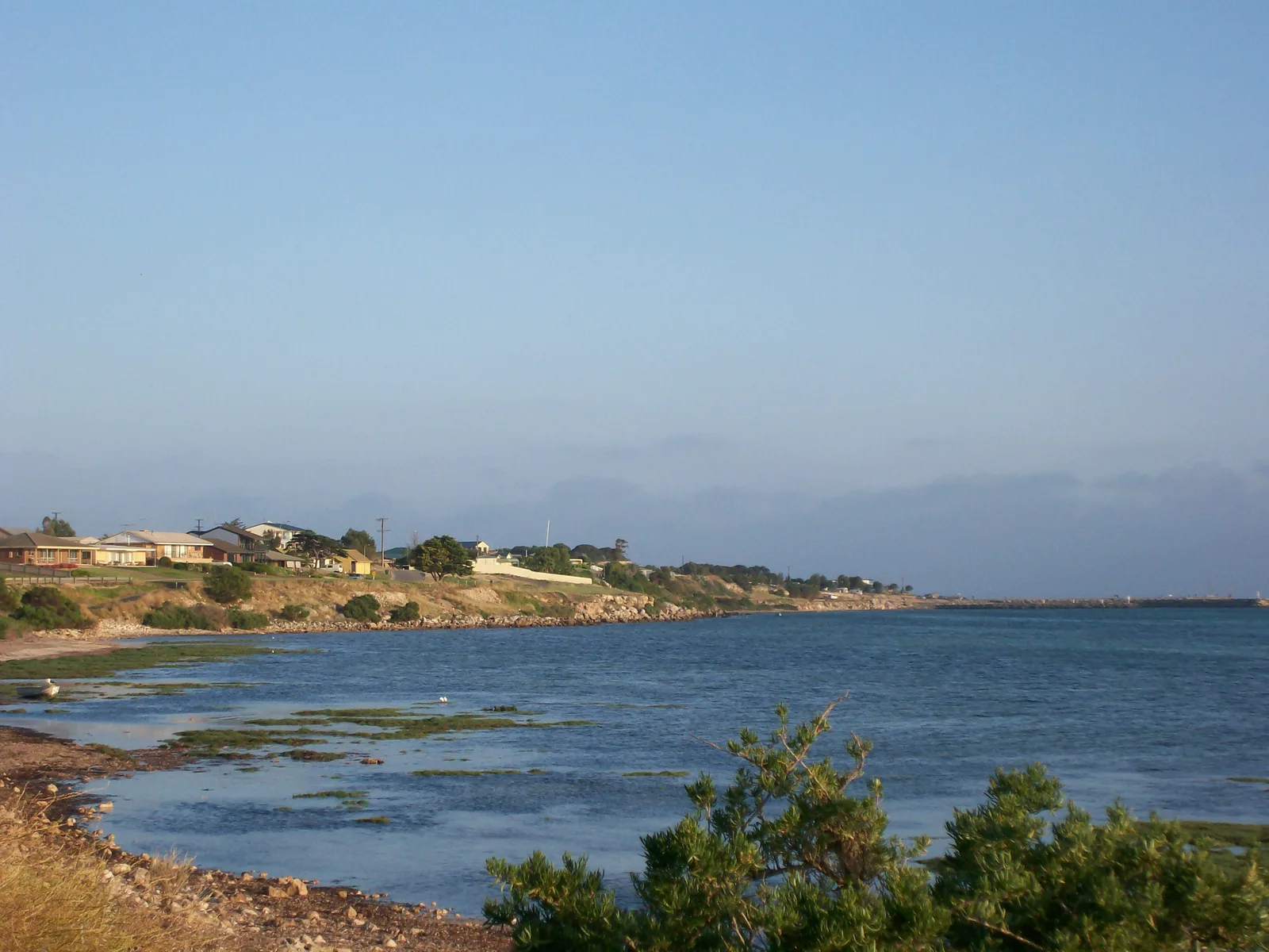
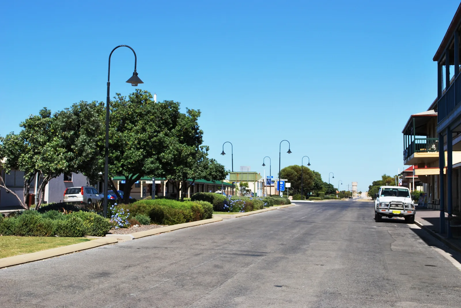
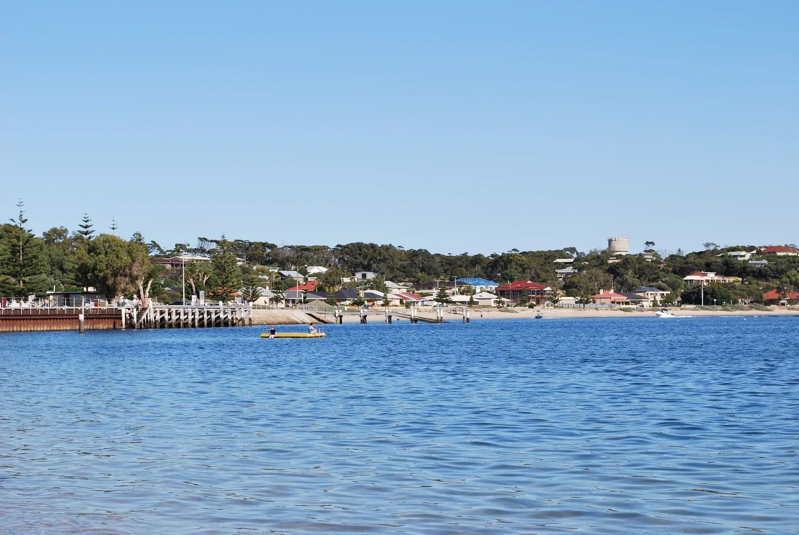
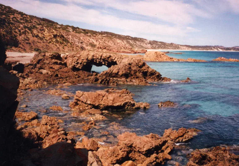
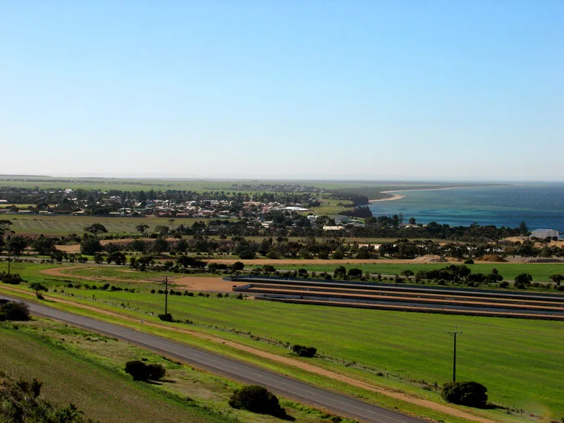
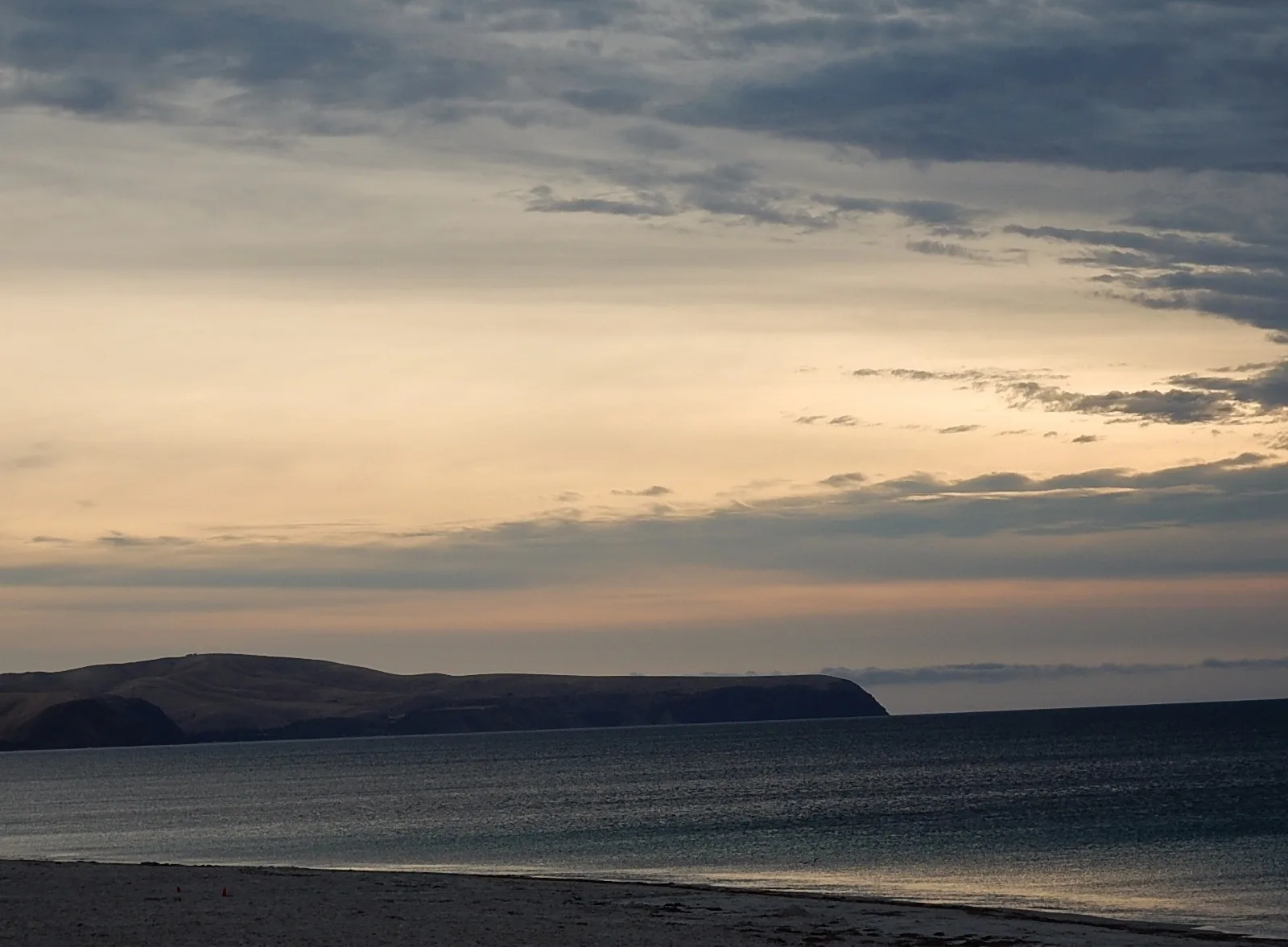
Known as the gateway to the "Bottom End" of the Yorke Peninsula, Warooka is an agricultural town surrounded by natural beauty. Perched on a gentle hill, the town provides panoramic views of the surrounding farmlands and Spencer Gulf. It serves as an essential stopover and supply hub for visitors exploring the rugged southern coastal regions. A short drive from the town center takes visitors to the dramatic Flaherty Beach, famous for its expansive pristine sandbars that emerge at low tide, creating a mesmerizing natural playground. This coastal gem is a favorite among photographers and families looking to wade in shallow waters. The nearby coastline provides excellent spots for surf fishing and relaxing in an unspoiled environment. Warooka's local history is deeply rooted in grain farming, reflected in its historic stone buildings and welcoming country pubs. From here, travelers can easily venture into the spectacular Dhilba Guuranda-Innes National Park, known for its dramatic cliffs and shipwrecks. The town beautifully blends pastoral charm with immediate access to impressive marine landscapes.
Explore on the map
How well do you know Australia?
Find cities, landscapes and regions in 10 varied challenges on the interactive map.
Your journey, your memory
A postcard from Warooka
Turn your own photo into a personal postcard with a local stamp. Free and no sign-up required.
Create a postcard- Location: Australia
- Nearby: Point Turton (7 km)
- Population: ~194
Geography
Facts
- Gateway to the Bottom End
- Yorke Peninsula location
- Flaherty Beach with sandbars
- Agricultural center
- Near Innes National Park
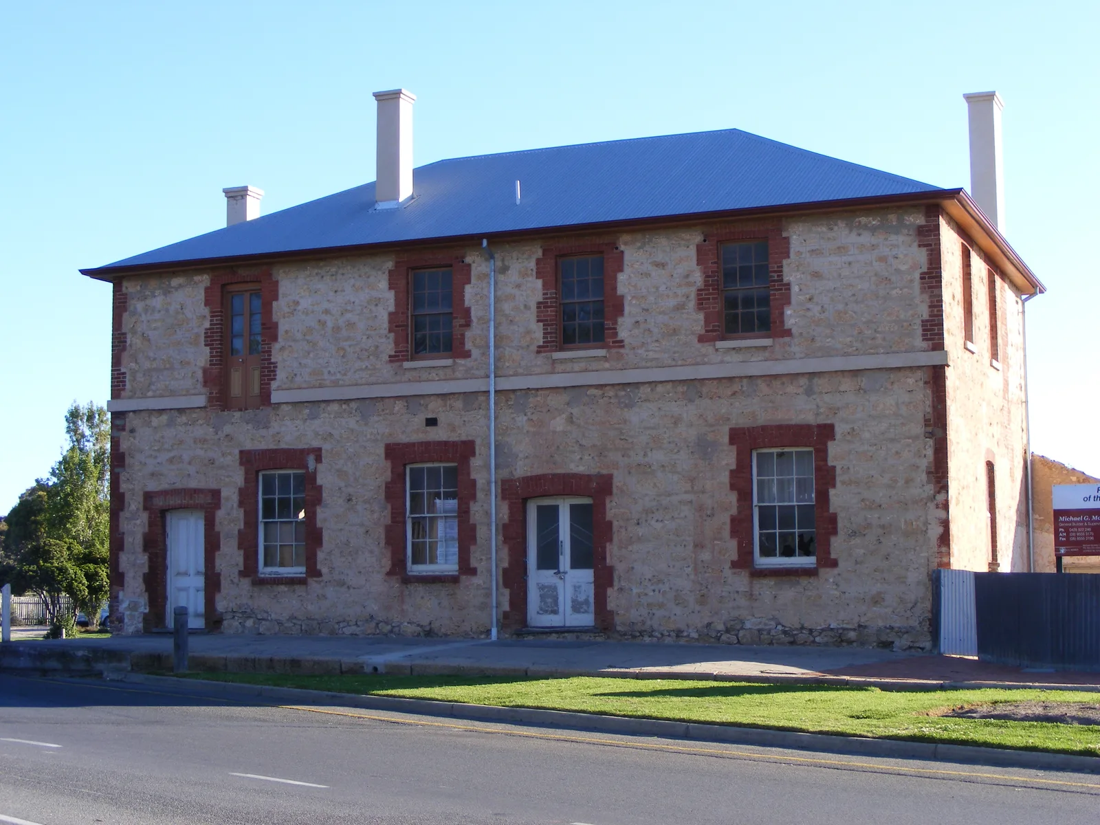
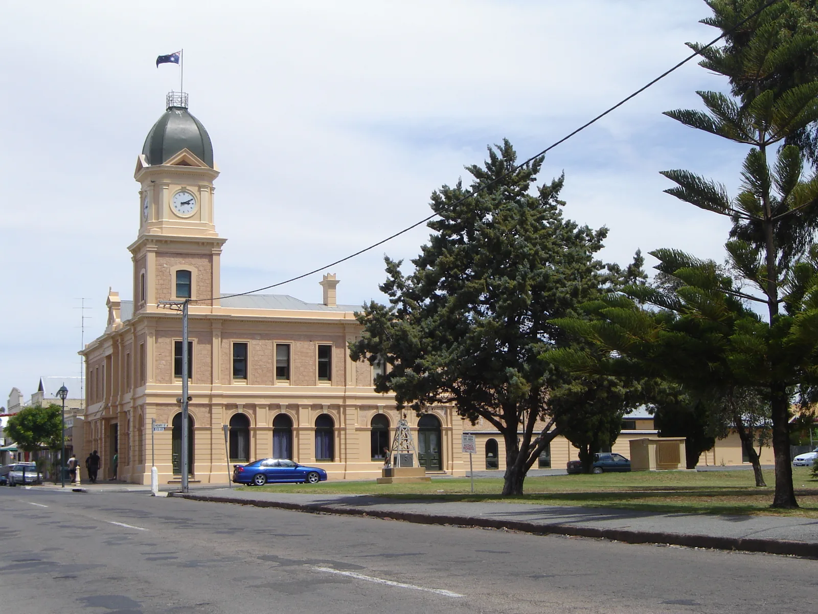
- Historic stone buildings
- Views of Spencer Gulf
- Excellent surf fishing
Explore nearby
Notable places around
Route planner — Car & Motorhome
Where do you start? We build the route here, with stops and country notes along the way.
© OpenStreetMap contributors · OpenRouteService
Sights in the town Warooka (1)
Frequently asked questions
Warooka: where is it located?
Warooka: why is it worth visiting?

Nearby cities