Plizio Visual Lab

Cachi
Plizio editorial teamData Sources
Landmark
—°13
Cachi (Argentina)

Weather…

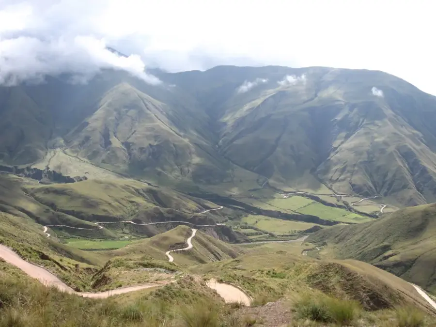
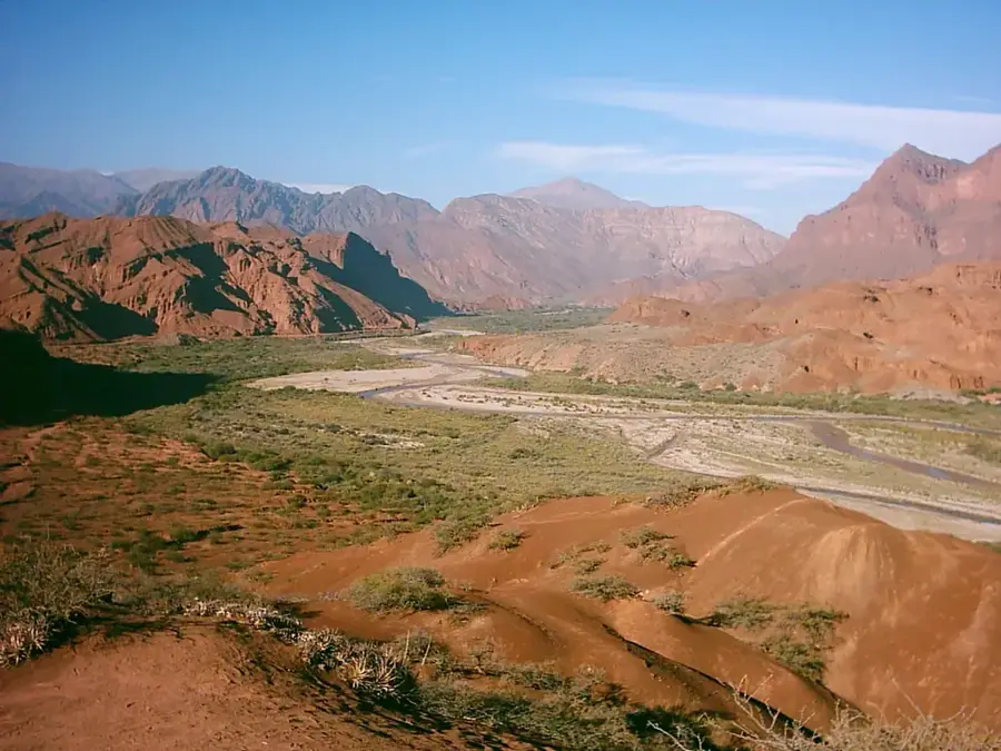
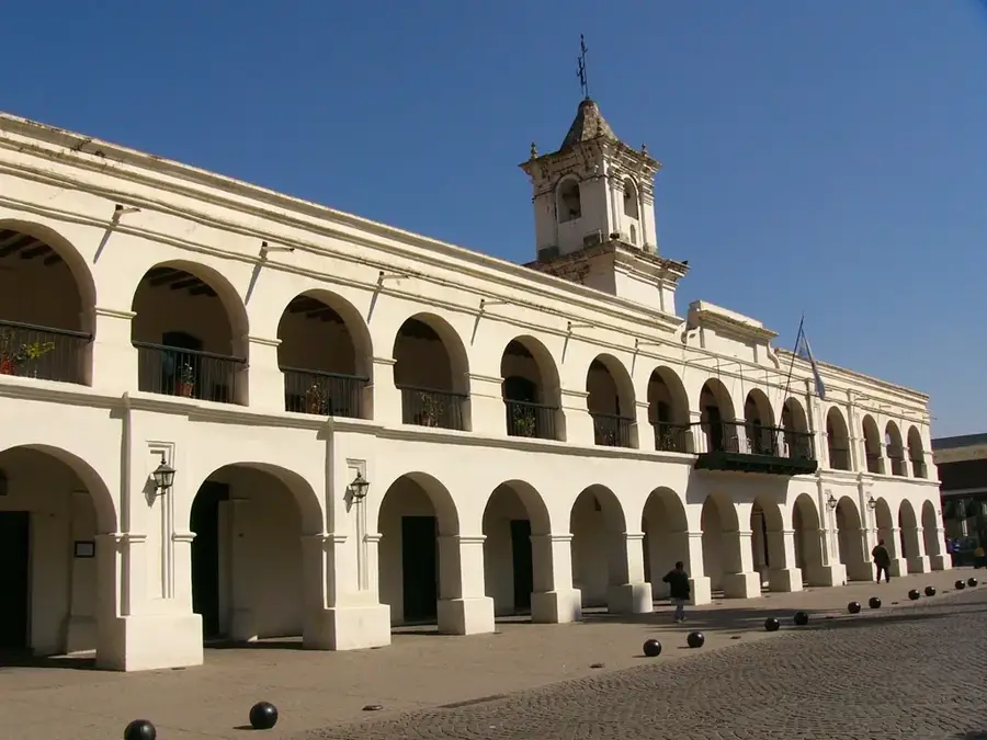
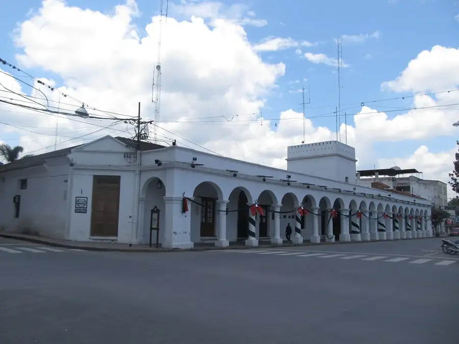
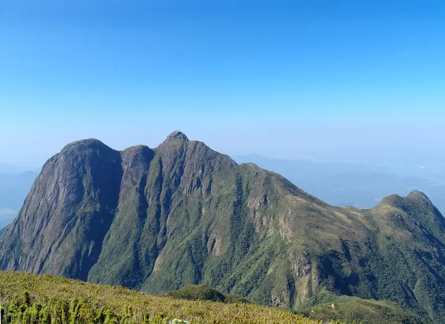
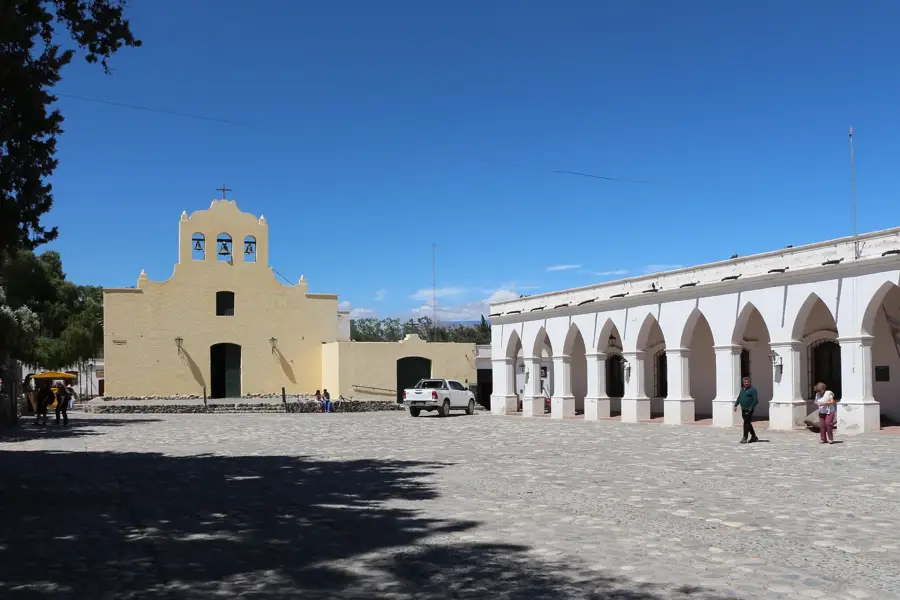
Cachi is a colonial village situated at an altitude of 2,531 meters within the scenic Calchaquí Valleys. The town is recognizable by its well-preserved 18th-century architecture, characterized by whitewashed adobe houses built on narrow cobblestone streets. It sits at the foot of the snow-capped Nevado de Cachi, the highest peak in the region. The central plaza is home to the Church of San José, a National Historic Monument notable for its roof made entirely of porous cardón cactus wood. Just a few kilometers outside the town lies the Los Cardones National Park, where thousands of giant cacti dot the arid high-altitude desert. The local economy is driven by agriculture and high-altitude winemaking. Visitors can tour small family-run vineyards or sample local empanadas salteñas. Reaching Cachi from Salta involves a spectacular drive along the winding Cuesta del Obispo and a straight stretch across the Tin Tin Straight, a route originally laid out by the Incas.

Explore on the map

How well do you know Argentina?

Find cities, landscapes and regions in 10 varied challenges on the interactive map.

Start the map quiz 10 challenges

Your journey, your memory

A postcard from Cachi

Turn your own photo into a personal postcard with a local stamp. Free and no sign-up required.

Create a postcard

Best time to visit & climate

The most pleasant time to visit is Sep–Nov.

JanFebMarAprMayJunJulAugSepOctNovDec
Avg °C111110854357101112
Rain mm185159115551252352761140

📋 Practical info

🚪
Visiting
Cachi is an open colonial village; you can explore its streets, plaza, and church freely. Some museums (e.g., Museo Arqueológico) may have indoor sections open to visitors.
🕒
Typical hours
Shops and museums in Cachi typically open around 9 AM and close in the early evening. The church usually opens for mass; visit outside service times.
📷
Photography
Photography is allowed in public areas. Inside the church, ask permission or avoid using flash during services. The surrounding landscapes are great for photos.
⏱️
Time needed
Allow 2-3 hours to wander the village center and visit the main sights. If you plan to hike in the surrounding cactus forests, add half a day.
Combine with
Combine Cachi with a drive along the Cuesta del Obispo and the Recta del Tin Tin. Nearby Cafayate is also a popular wine destination.
🧭
Getting there
Cachi is on RN 40, about 150 km south of Salta. You can rent a car or take a bus from Salta (daily service). The road is paved.
💡
Insider tip
Visit the local market on weekends for handcrafted textiles and souvenirs. The church square has a nice atmosphere in the evening.

Geography

Population
2,189 (2026)
Coordinates
-25.11940, -66.16200

Facts

  • Located in the Calchaquí Valleys
  • Altitude of 2,531 meters
  • 18th-century colonial architecture
  • Church of San José with cactus wood roof
  • Near Los Cardones National Park
  • Base of Nevado de Cachi mountain
  • High-altitude winemaking
  • Accessed via Cuesta del Obispo

Explore nearby

Notable places around
Route planner — Car & Motorhome

Where do you start? We build the route here, with stops and country notes along the way.

Vehicle
Only stops with (optional):
Motorhome dimensions

© OpenStreetMap contributors · OpenRouteService

Sights in the town Cachi (13)

Las Pailas📍 landmark

Las Pailas is a notable local attraction set against the impressive mountainous backdrop of Cachi.

Ascenso al Mirador de la Cruz📍 landmark

This scenic trail in Cachi has a rewarding ascent up to the Mirador de la Cruz viewpoint.

Mirador del Altar🌿 nature

The Mirador del Altar provides visitors with sweeping views over the dramatic landscapes surrounding Cachi.

Mirador de la Cruz🌿 nature

This elevated viewpoint in Cachi gives spectacular panoramic views of the town and the Calchaquí Valleys.

Todo lo Nuestro🏛 museum

This local museum in Cachi showcases traditional crafts and artifacts celebrating the region's cultural identity.

Mirador norte Cachi🌿 nature

Situated in the northern part of Cachi, this viewpoint affords panoramic vistas of the surrounding Andean valleys.

Museo Arqueológico Pío Pablo Díaz🏛 museum

This archaeological museum in Cachi houses extensive collections of pre-Columbian artifacts from the Calchaquí Valleys.

Centro Cultural🎭 culture

The Centro Cultural in Cachi hosts local art exhibitions and community events in a lively cultural setting.

Sitio arqueológico Los Teros🏛 museum

This museum and archaeological site near Cachi preserves important remnants of the region's ancient indigenous cultures.

Monumento a Juan Calchaqui🏺 historical

This monument in Cachi commemorates Juan Calchaquí, a legendary indigenous leader of the region.

Busto del General Güemes🏺 historical

This prominent bust in Cachi honors General Güemes, a celebrated hero of the Argentine War of Independence.

Ovnipuerto Cachi📍 landmark

The Ovnipuerto is a quirky UFO landing pad attraction built out of stones in the desert near Cachi.

Ruinas de La Paya🏺 historical

The Ruinas de La Paya are the impressive archaeological remains of an ancient pre-Inca settlement near Cachi.

Sights nearby

Frequently asked questions

Cachi: where is it located?
Cachi is located in Argentina.
Cachi: what is there to see?
Highlights include Las Pailas, Ascenso al Mirador de la Cruz, Mirador del Altar.
Cachi: when is the best time to visit?
The most pleasant time to visit is Sep, Nov.
Cachi: why is it worth visiting?
Cachi is a colonial village situated at an altitude of 2,531 meters within the scenic Calchaquí Valleys.
View on map → The Top 50 Attractions → OpenStreetMap →
South America
Explore with Plizio Discover more places in South America
More places in Argentina →

Nearby cities