Plizio Visual Lab
Tomboco

ℹ️Practical info — Tomboco
▾
🌤 Weather — 5 days
📍 Nearby
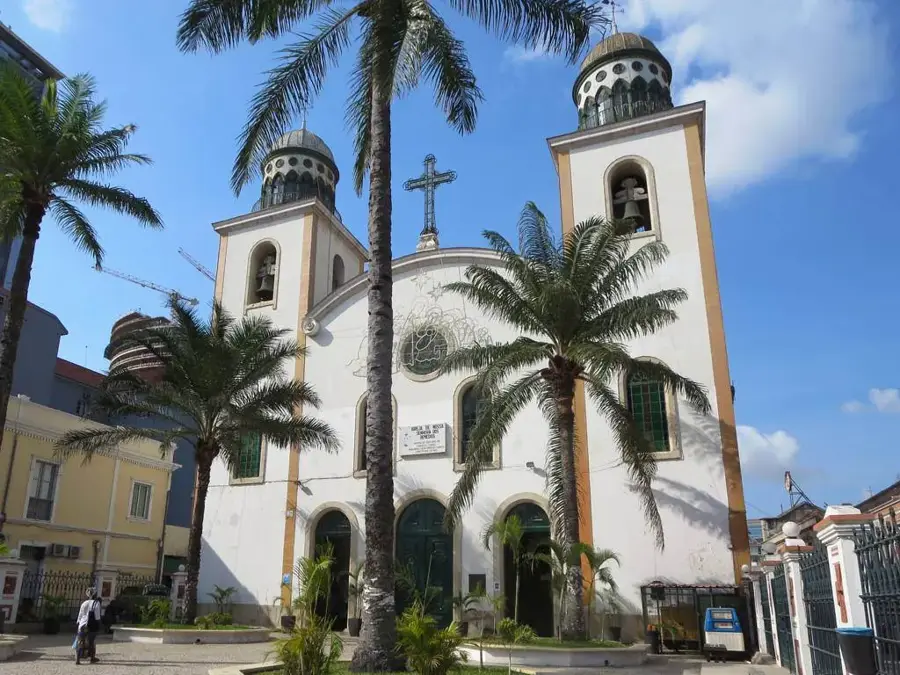
Sights nearby
💡 Tips
- Travel during the day as street lighting is sparse at night.
- Carry enough cash since ATMs can be unreliable.
- Watch out for heavy truck traffic heading towards Soyo.
- Buy fresh fruit from roadside vendors for a travel snack.
🍽 Food
Typical Angolan dish in small eateries along the main road.
A safe and delicious option at roadside grills.
Available directly from local farmers at roadside stalls.
🛍 Shopping · 🧘 Quiet spots
The center for basic goods, fresh produce, and local daily necessities.
Excellent for quick purchases of seasonal fruits and snacks while traveling.
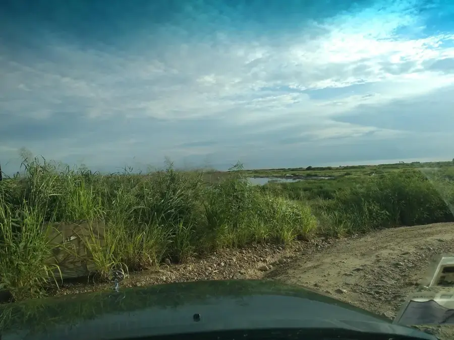
Step slightly outside the town for wide, peaceful views of the landscape.
Usually a quiet and shaded area in the center of the town.
Water temperature…
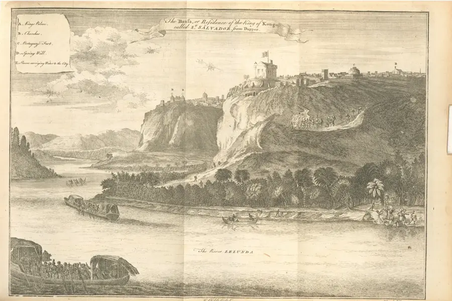
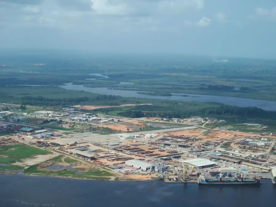
Tomboco is an appealing inland town located in the Zaire province of northwestern Angola. It is situated midway between the coastal town of Nzeto and the historic provincial capital of M'banza Kongo. The region's geography is characterized by rolling hills, dense forests, and fertile farmland, making Tomboco an agricultural hub for the province. The town plays a significant role as a rest stop and logistical node for travelers and trucks on the EN-100 highway. Historically, the area saw intense fighting during the War of Independence, but today it maintains a peaceful atmosphere defined by rural life. Agriculture focuses on cassava, sweet potatoes, and fruit cultivation, while charcoal trade also plays an economic role. Efforts are underway in Tomboco to improve basic services with new schools and health centers to meet the needs of the growing population. The surrounding nature gives potential for ecotourism, particularly for hiking in pristine forest areas.
- Location: Angola
- Nearby: Nzeto (67 km)
- Population: ~20.358 (2023)
Best time to visit & climate
The most pleasant time to visit is Jun–Aug.
| Jan | Feb | Mar | Apr | May | Jun | Jul | Aug | Sep | Oct | Nov | Dec | |
|---|---|---|---|---|---|---|---|---|---|---|---|---|
| Avg °C | 25 | 26 | 26 | 25 | 25 | 24 | 23 | 24 | 25 | 26 | 25 | 25 |
| Rain mm | 98 | 104 | 158 | 161 | 83 | 5 | 0 | 7 | 27 | 90 | 146 | 127 |
Geography
Facts
- Tomboco is located about 150 kilometers southwest of M'banza Kongo.
- The town is the administrative seat of the Tomboco municipality.
- The region is known for producing high-quality pineapples.
- Tomboco is situated along the strategically important EN-100 highway.
- Several tributaries of the M'bridge River flow through the vicinity.
- The climate is tropical savanna with a dry season from June to September.
Explore nearby
Notable places around
Route planner — Car & Motorhome
Where do you start? We build the route here, with stops and country notes along the way.
© OpenStreetMap contributors · OpenRouteService
Frequently asked questions
How many days do you need for Tomboco?
When is the best time to visit Tomboco?
What is the easiest way to get to Tomboco?
What food is typical in Tomboco?
Is Tomboco family-friendly?
Tomboco: where is it located?
Tomboco: when is the best time to visit?
Tomboco: why is it worth visiting?

Nearby cities

History & landmarks

More places