Plizio Visual Lab
Upper Cuanza Valley

Weather…
Water temperature…
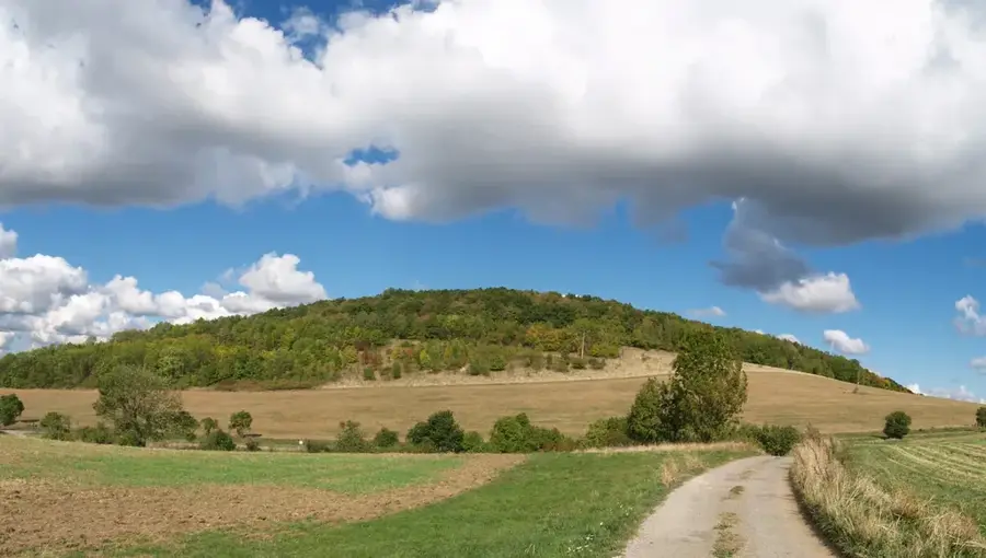
The Upper Cuanza Valley, situated on the Bié Plateau in central Angola, marks the source of one of Southwest Africa's most significant river systems. The Cuanza River originates near Mumbué at an elevation of approximately 1,500 meters above sea level. In its upper course, the river carves through deep valleys and creates numerous rapids before descending towards the coastal plains. The region is characterized by a tropical highland climate, which provides consistent rainfall and maintains the river's flow throughout the year. Geologically, the area is composed of ancient Precambrian crystalline rocks, contributing to its rugged relief and dramatic landscape features. The valley is of critical economic importance to Angola, hosting massive hydroelectric projects such as the Lauca and Capanda dams. Beyond energy production, it functions as a vital ecological corridor for local wildlife and supports agricultural activities in the country's interior.
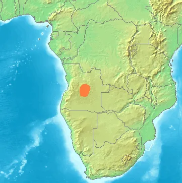
- Location: Angola
- Nearby: Andulo (35 km)
Best time to visit & climate
The most pleasant time to visit is May, Jul, Aug.
| Jan | Feb | Mar | Apr | May | Jun | Jul | Aug | Sep | Oct | Nov | Dec | |
|---|---|---|---|---|---|---|---|---|---|---|---|---|
| Avg °C | 20 | 20 | 20 | 20 | 20 | 18 | 18 | 21 | 23 | 23 | 21 | 20 |
| Rain mm | 149 | 140 | 177 | 56 | 10 | 1 | 0 | 2 | 29 | 87 | 157 | 151 |
📋 Practical info
Geography
Facts
- The Cuanza River originates at an altitude of 1,500m on the Bié Plateau.
- The Lauca hydroelectric plant has a capacity of 2,070 megawatts.
- The total length of the Cuanza River is approximately 960 kilometers.
- The Capanda dam project officially commenced construction in 1987.
- The river discharges into the Atlantic Ocean south of Luanda.
- The river's drainage basin covers about 152,570 square kilometers.
Explore nearby
Notable places around
Route planner — Car & Motorhome
Where do you start? We build the route here, with stops and country notes along the way.
© OpenStreetMap contributors · OpenRouteService
Sights nearby
Frequently asked questions
How difficult is visiting the Upper Cuanza Valley?
What is the best time to visit?
Are there parking areas or viewpoints?
Are there restaurants or toilets?
What weather risks should you expect?
Upper Cuanza Valley: where is it located?
Upper Cuanza Valley: when is the best time to visit?
Upper Cuanza Valley: why is it worth visiting?