Plizio Visual Lab
Batna
ℹ️Practical info — Batna
▾
🌤 Weather — 5 days
📍 Nearby
Sights nearby
💡 Tips
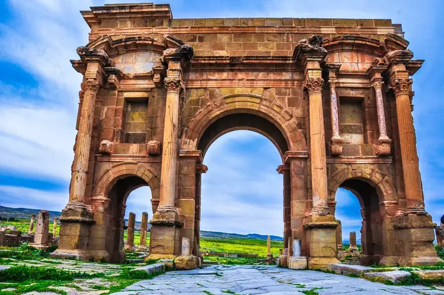
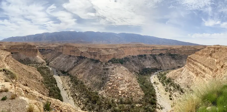
- Batna is the gateway to the striking Timgad Roman ruins (a UNESCO World Heritage site) and the Ghoufi canyons.
- The city sits at a high altitude, so evenings can be surprisingly cool even in summer.
- Shared taxis (louages) are the best way to travel to nearby historical sites and villages.
- Try to learn a few words of Chaoui (the local Berber language) to delight the locals.
- Friday is the day of prayer and rest; plan for most shops and sites to have limited hours.
🍽 Food
A traditional Aurès dish of torn flatbread with spicy meat stew, a must-try in local restaurants.
A local sweet made from semolina, butter, and dates, often served during celebrations.
Enjoy it in the numerous spirited cafes around the city center.
🛍 Shopping · 🧘 Quiet spots
Look for artisans in the old town or specialized shops.
Purchase high-quality produce at the main city market.
Colorful rugs with Berber motifs, available in local craft stores.
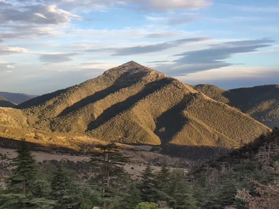
Just outside the city, first-rate for hiking and spotting local cedars.
Nice for a calm evening walk among the locals.
Scenic and quiet escapes a short drive away.
Water temperature…
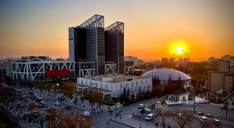
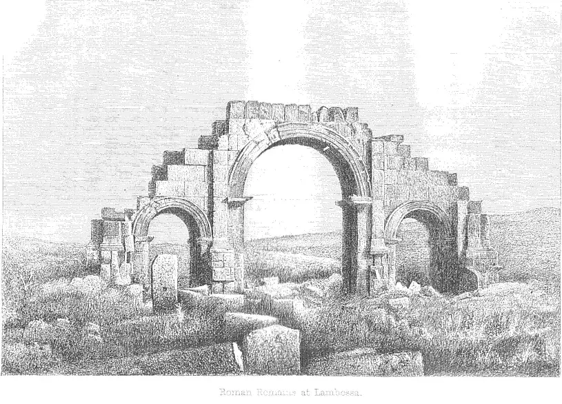
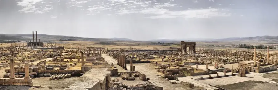
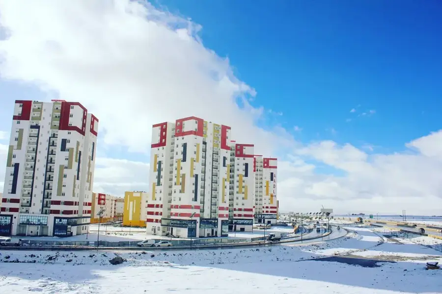
Batna is located in northeastern Algeria, situated in the heart of the Aurès Mountains at an elevation of over 1,000 meters. Founded in 1844 as a French military outpost, it was strategically positioned to monitor the routes leading to the Sahara and to manage the surrounding mountain territories. The city quickly grew into a vital administrative and educational hub for the region's Berber population, particularly the Chaouia people who maintain a strong cultural identity. Just 35 kilometers east of Batna lies Timgad, a UNESCO World Heritage site and one of the best-preserved Roman cities in existence, originally established by Emperor Trajan in 100 AD. Batna's own urban landscape is characterized by wide boulevards and a prominent university system that serves as a focal point for the country's youth. The high altitude results in cold, snowy winters and hot, arid summers, shaping the local lifestyle and agriculture. Today, Batna is a significant economic center driven by commerce, light manufacturing, and its proximity to world-class archaeological sites.
- Location: Algeria
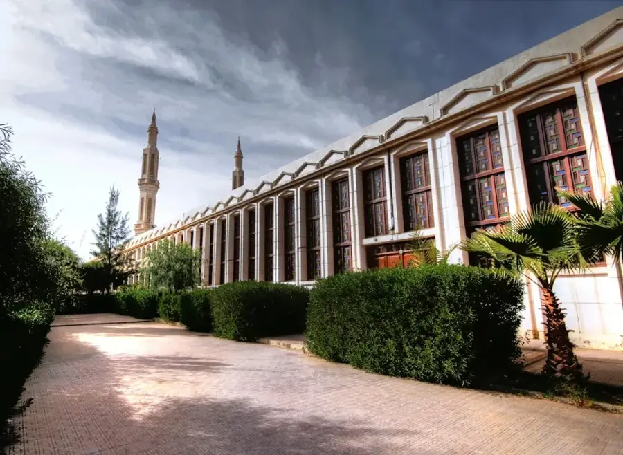
- Top sights: Belezma National Park · Théatre de Batna · Musée
- Nearby: El Eulma (80 km)
- Population: ~289.504 (2026)
Best time to visit & climate
The most pleasant time to visit is Jun, Jul, Sep.
| Jan | Feb | Mar | Apr | May | Jun | Jul | Aug | Sep | Oct | Nov | Dec | |
|---|---|---|---|---|---|---|---|---|---|---|---|---|
| Avg °C | 4 | 4 | 8 | 12 | 16 | 22 | 25 | 25 | 20 | 15 | 8 | 5 |
| Rain mm | 46 | 32 | 47 | 47 | 47 | 23 | 9 | 25 | 45 | 39 | 40 | 40 |
Geography
Facts
- Established by a decree from King Louis-Philippe in 1844.
- The city sits at an average altitude of 1,038 meters above sea level.
- Timgad, located nearby, is famous for its perfectly preserved grid plan.
- Batna is the gateway to the Ghoufi Canyons, often called the "Algerian Grand Canyon."
- The city's population grew from 4,000 in 1891 to over 300,000 today.
- It is considered the de facto capital of the Aurès region.
Explore nearby
Notable places around
Route planner — Car & Motorhome
Where do you start? We build the route here, with stops and country notes along the way.
© OpenStreetMap contributors · OpenRouteService
Sights in the town Batna (6)
Frequently asked questions
Which ancient site is located near Batna?
What is the Ghoufi Canyon?
Is Batna located in the mountains?
How is the climate in Batna?
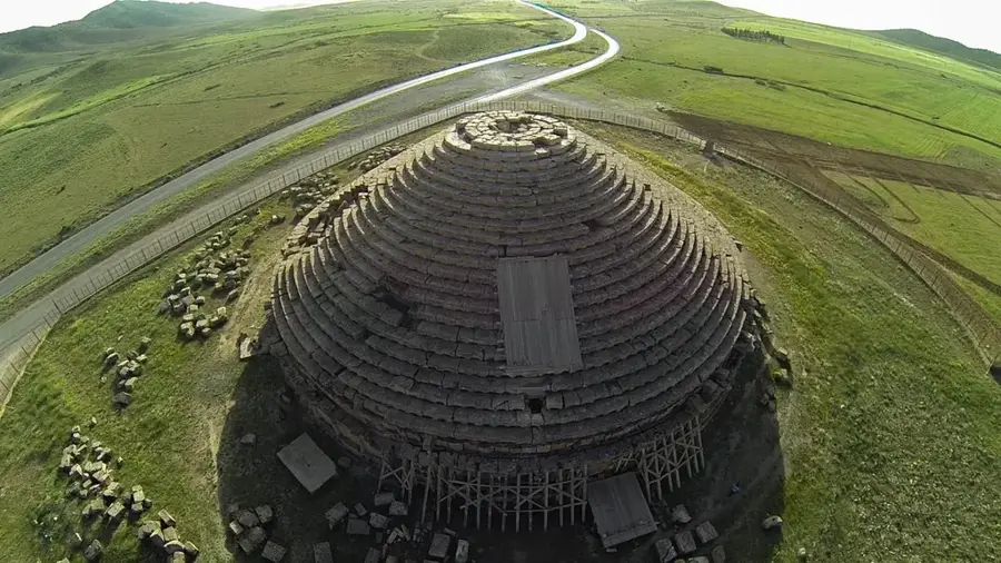
What is the Medracen?
Batna: where is it located?
Batna: what is there to see?
Batna: when is the best time to visit?
Batna: why is it worth visiting?

Nearby cities
History & landmarks

More places