Plizio Visual Lab
Faizabad
ℹ️Practical info — Faizabad
▾
🌤 Weather — 5 days
📍 Nearby
Sights nearby
💡 Tips
- The mountain passes can close in winter, so plan your travel flexibly.
- Always carry a copy of your travel documents and passport.
- Modest, loose clothing (local style is recommended) is absolutely essential.
- Visit the old bazaar early in the morning for the most authentic experience.
🍽 Food
In the traditional local teahouses (Chaikhanas)
Straight from the clay oven in the bazaar bakeries
At sizzling food stalls near the riverbank
🛍 Shopping · 🧘 Quiet spots
Look here for lapis lazuli stones and traditional carpets
Good spots for traditional clothing and embroideries
A peaceful spot to listen to the rushing water
Offer panoramic views and an escape from the city
Water temperature…
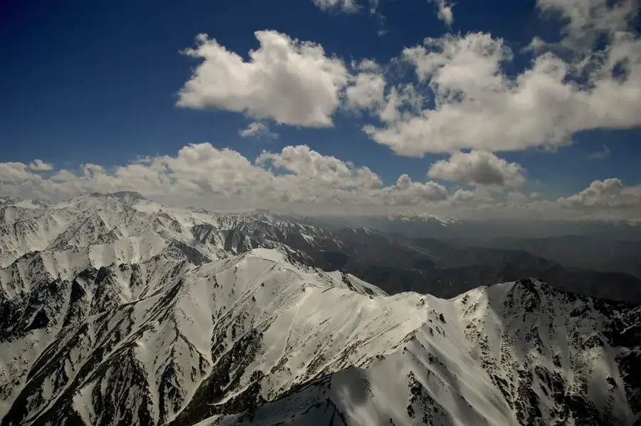
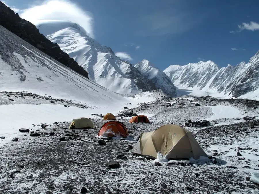
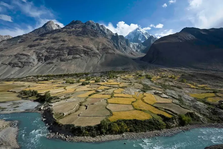
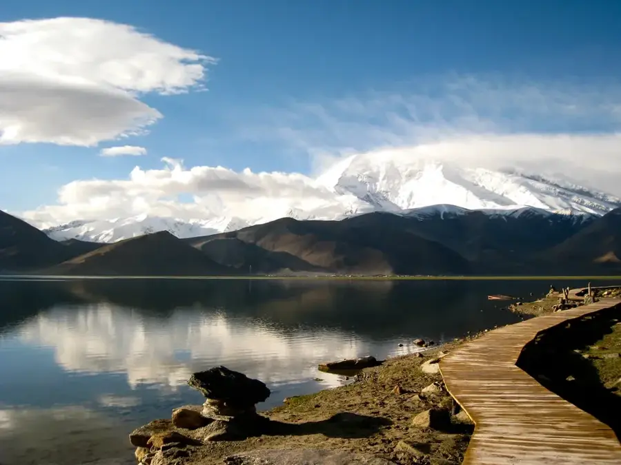
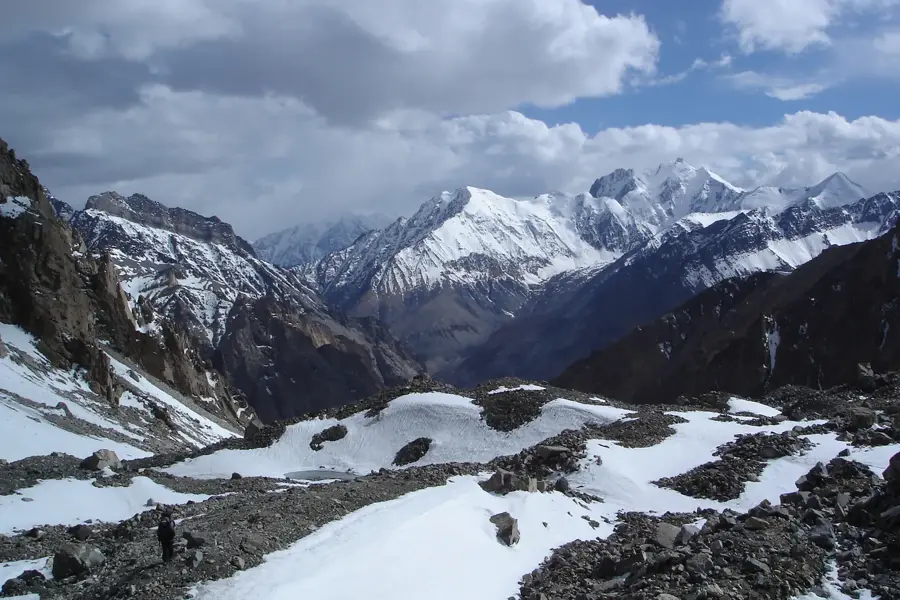
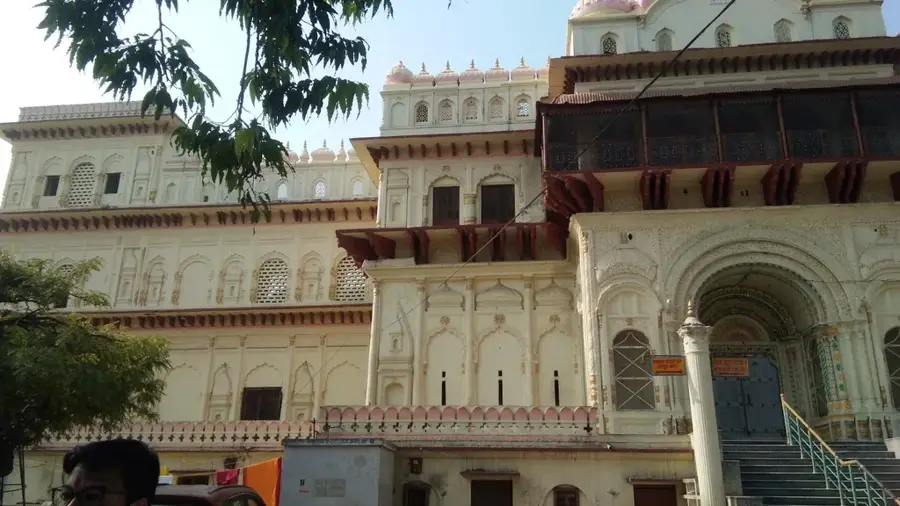
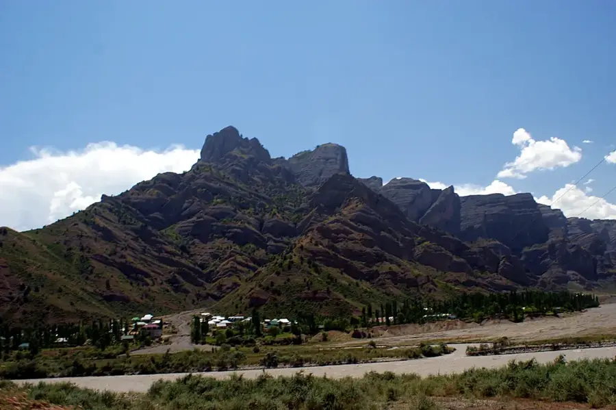
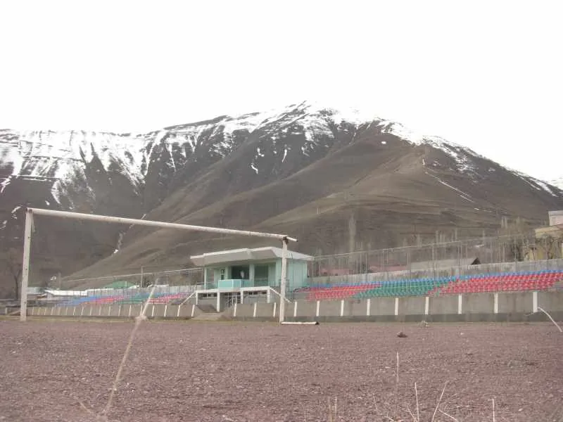
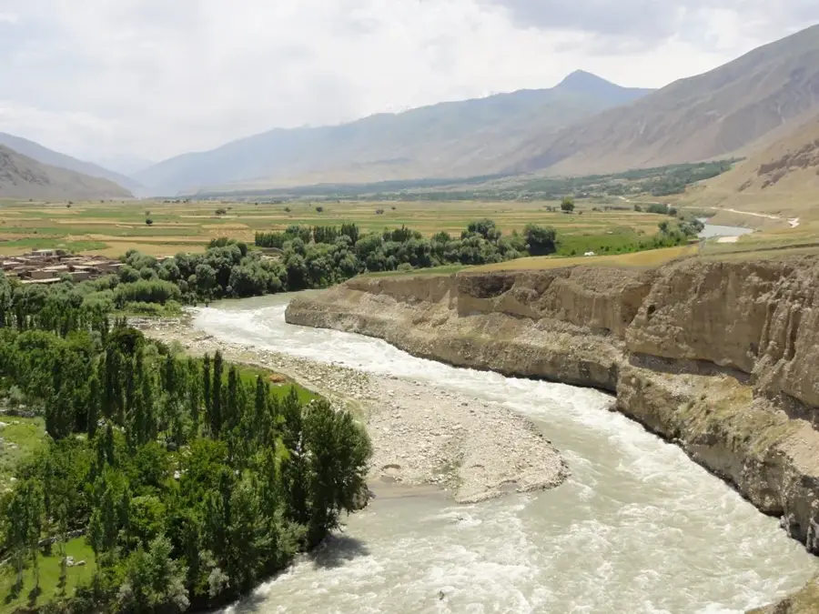
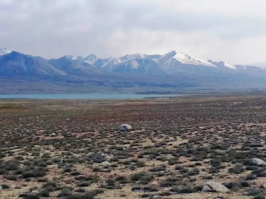
Faizabad is the capital and largest city of Badakhshan Province, located in the remote northeastern corner of Afghanistan. Located in the deep valley of the Kokcha River at an elevation of roughly 1,200 meters, the city serves as the primary administrative and commercial gateway to the Pamir Mountains and the Wakhan Corridor. Badakhshan is historically world-famous for its lapis lazuli mines, which have been active for over 6,000 years, supplying the ancient civilizations of Egypt, Mesopotamia, and Rome. Faizabad itself was a significant node on the Silk Road, providing a transit point for caravans traveling between the Indian subcontinent and Central Asia. The city's geography is defined by steep, rugged terrain, with houses often built into the mountainsides in a terraced fashion. The climate is continental, featuring relatively wet winters and dry, hot summers, with the Kokcha River providing essential irrigation for the surrounding rice and wheat fields. Demographically, Faizabad is predominantly Tajik, but it also hosts sizeable Uzbek and Kyrgyz minorities, contributing to a diverse cultural and linguistic landscape. The city is home to Badakhshan University and serves as the logistics base for international aid organizations working in the province's inaccessible mountainous districts. Despite its isolation, Faizabad has a regional airport and is connected via a major highway to Kunduz and onwards to Kabul. The city remains a bastion of traditional Afghan culture, where ancient customs, oral poetry, and artisanal gemstone cutting continue to thrive amidst some of the most dramatic mountain scenery in the world.
- Location: Afghanistan
- Population: ~44.421 (2026)
Best time to visit & climate
The most pleasant time to visit is Jun–Aug.
| Jan | Feb | Mar | Apr | May | Jun | Jul | Aug | Sep | Oct | Nov | Dec | |
|---|---|---|---|---|---|---|---|---|---|---|---|---|
| Avg °C | -3 | -1 | 4 | 9 | 13 | 18 | 21 | 19 | 15 | 9 | 4 | -1 |
| Rain mm | 30 | 38 | 40 | 39 | 20 | 7 | 3 | 1 | 2 | 7 | 23 | 24 |
Geography
Facts
- Faizabad is located at an elevation of 1,200 meters (3,937 feet).
- The city is the capital of Badakhshan, the northeasternmost province.
- The Kokcha River divides the city into several distinct districts.
- Badakhshan University in Faizabad was established in 1998.
- It is the main hub for the lapis lazuli trade since antiquity.
- The city's airport has a paved runway for flights to Kabul.
- Faizabad experiences a humid continental climate with cold winters.
- The population consists primarily of Tajiks, Uzbeks, and Kyrgyz.
Explore nearby
Notable places around
Route planner — Car & Motorhome
Where do you start? We build the route here, with stops and country notes along the way.
© OpenStreetMap contributors · OpenRouteService
Frequently asked questions
What makes Faizabad special?
Are there natural beauties?
What is the best way to get there?
When is the best time to travel?
What do you need?
Faizabad: where is it located?
Faizabad: when is the best time to visit?
Faizabad: why is it worth visiting?

Nearby cities
History & landmarks
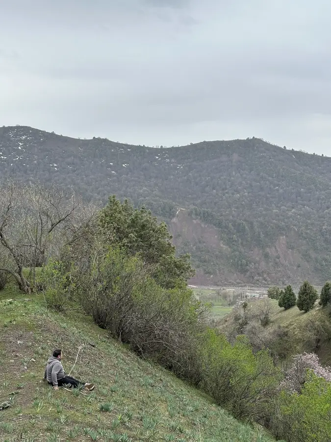
Nature

More places