Plizio Visual Lab
Lippe
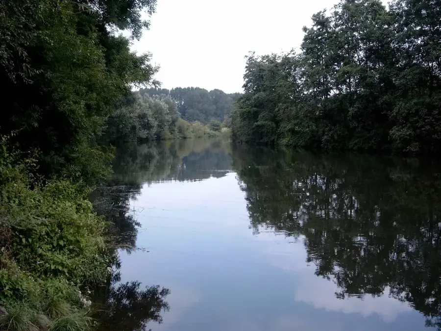
Lippe, yaklaşık 220 kilometrelik toplam uzunluğuyla Kuzey Ren-Vestfalya eyaletinin en uzun nehridir. Eggegebirge eteklerindeki Bad Lippspringe'de güçlü bir karst kaynağından doğar ve Wesel yakınlarında Rhein nehrine dökülür. Tarihsel olarak nehir yatağı, Germen seferleri sırasında Romalılar tarafından yoğun bir şekilde kullanılan stratejik öneme sahip bir sınırı ve ikmal rotasını işaret ediyordu; bunun kanıtı Haltern Roma kampı gibi önemli arkeolojik buluntulardır. Bugün Lippe, Ruhr bölgesinin kuzey sınırını oluşturur ve endüstri için merkezi bir su yolu olarak hizmet ederken aynı zamanda önemli bir biyotop ağı işlevi görür. Son on yıllardaki kapsamlı yeniden doğallaştırma (renatürasyon) çalışmaları, nehrin birçok bölümünde doğal dinamizmini geri kazanmasına katkıda bulunmuş olup bugün çok çeşitli flora ve faunaya ev sahipliği yapmaktadır. Kıyı boyunca uzanan Römer-Lippe-Route gibi ünlü bisiklet parkurları, turistler için 400 kilometreden fazla bir mesafede tarih ve doğayı deneyimlenebilir kılmaktadır.
Haritada keşfet
Almanya hakkında ne kadar bilgilisin?
Etkileşimli haritada 10 çeşitli zorlukta şehirleri, manzaraları ve bölgeleri bul.
Seyahatin, senin anın
Lippe’den bir kartpostal
Kendi fotoğrafını yerel posta puluyla kişisel bir kartpostala çevir. Ücretsiz ve kayıt gerektirmez.
Kartpostal oluştur- Konum: Nordrhein-Westfalen, Almanya
- Öne çıkanlar: Landmarke Hervest · St. Josef · Brunnenplatz
- Yakınlar: Marl (8 km)
En iyi ziyaret zamanı & iklim
En keyifli dönem: Haz–Ağu.
| Oca | Şub | Mar | Nis | May | Haz | Tem | Ağu | Eyl | Eki | Kas | Ara | |
|---|---|---|---|---|---|---|---|---|---|---|---|---|
| Ort. °C | 2 | 2 | 5 | 10 | 13 | 17 | 19 | 18 | 15 | 11 | 6 | 3 |
| Yağmur mm | 84 | 67 | 61 | 45 | 65 | 68 | 78 | 82 | 62 | 67 | 77 | 86 |
📋 Pratik bilgiler
Coğrafya
Gerçekler
- Toplam uzunluğu 220,1 kilometredir.
- Havzası 4.887 kilometrekareyi kapsamaktadır.
- 1826'dan beri büyük gemiler için navigasyon hakları mevcuttur.
- Kuzey Ren-Vestfalya içindeki en uzun nehirdir.
- Kaynak saniyede ortalama 740 litre su akıtmaktadır.
- Rhein nehrine 811. kilometrede dökülmektedir.
Yakınları keşfet
Çevredeki dikkat çekici yerler
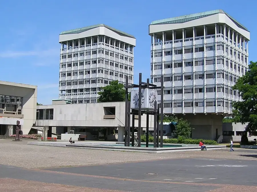
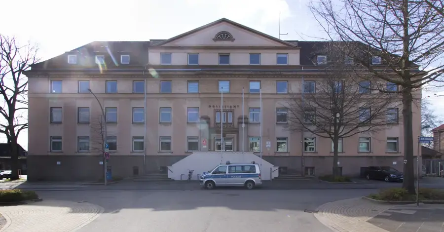
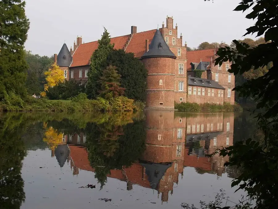
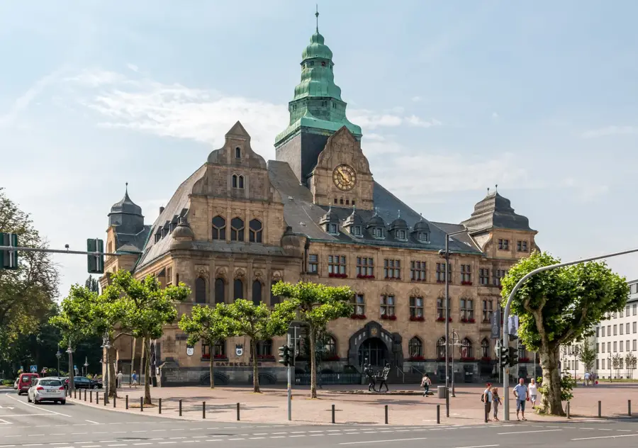

Rota planlayıcı — Araba & Karavan
Nereden başlıyorsunuz? Burada rota oluşturuyoruz, yol boyunca duraklar ve ülke notları ile.
© OpenStreetMap contributors · OpenRouteService
Kasabadaki görülecek yerler Lippe (10)
Creativquartier Fürst Leopold
Eski bir madencilik alanı, şimdi yaratıcı ve kültürel bir merkez olarak kullanılıyor.
St. Paulus
Dorsten'de Aziz Paul'a adanmış bir kilise binası.
Marienkirche
Dorsten, Hervest'te Marienviertel'deki Katolik parish kilisesi.
Wasservögel
Lippe boyunca su kuşlarını gözlemlemek için bir seyir noktası.
St. Johannes
Dorsten'de Aziz John'a adanmış bir kilise.
Schilfsteg
Lippe boyunca sazlıklardan geçen bir tahtakörüklü yol; suya bakışlar sunar.
Çevredeki gezilecek yerler
Sıkça sorulan sorular
Lippe nehri ne kadar uzun?
Lippe üzerinde kano yapabilir miyim?
Nehir boyunca bisiklet yolları var mı?
Lippe üzerinde hangi Roma dönemi izleri var?
Lippe'de yüzme serbest mi?
Lippe: nerede yer alıyor?
Lippe: gezilecek yerler neler?
Lippe: en iyi ziyaret zamanı ne zaman?
Lippe: neden ziyaret edilmeye değer?

Yakındaki şehirler