Plizio Visual Lab

Weser

Plizio editör ekibiVeri Kaynakları
Fluss
—°2
Weser (Almanya)

Hava durumu…

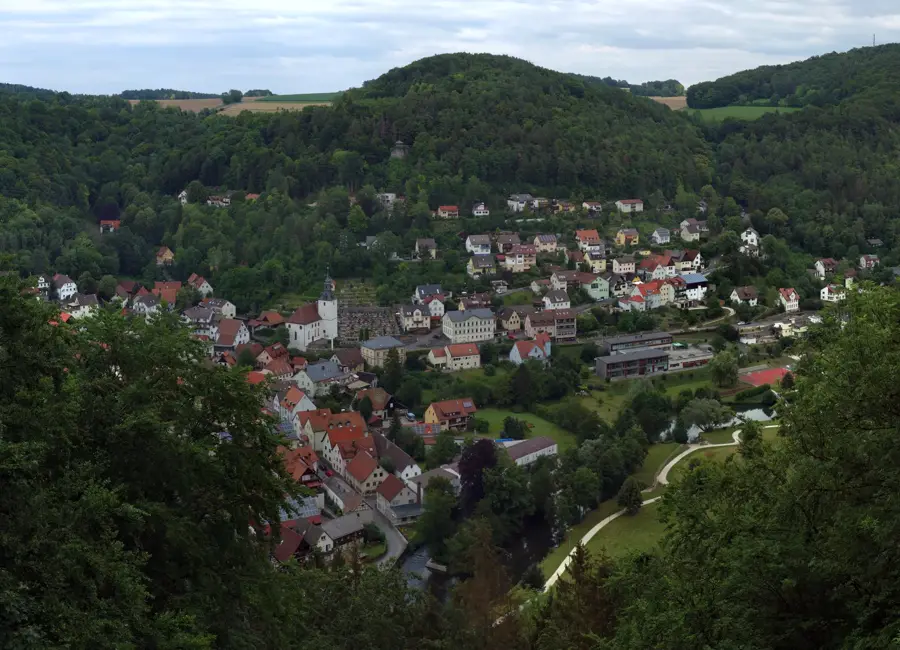
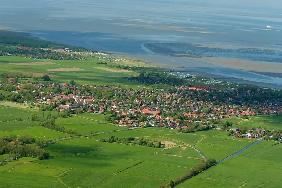
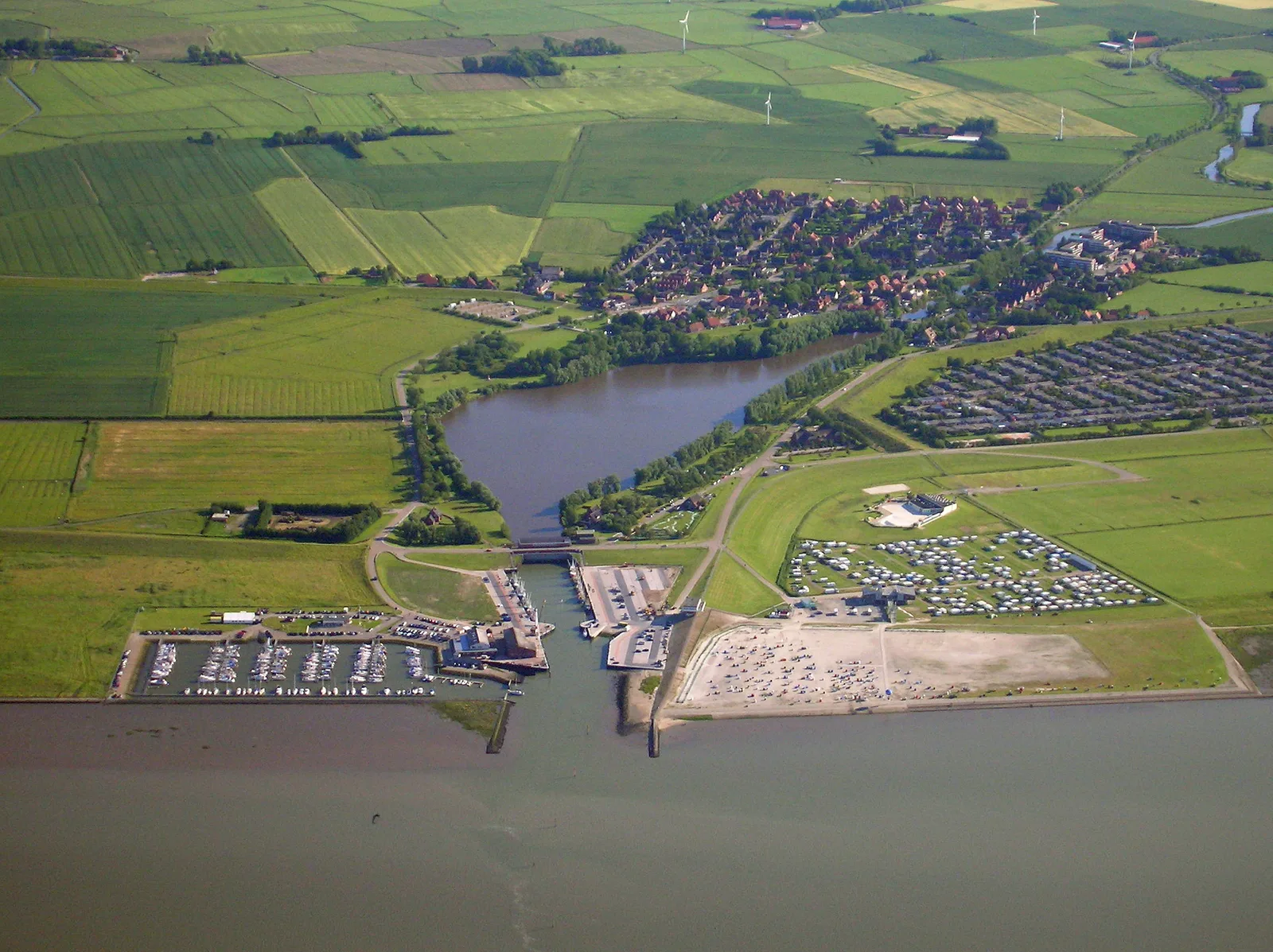
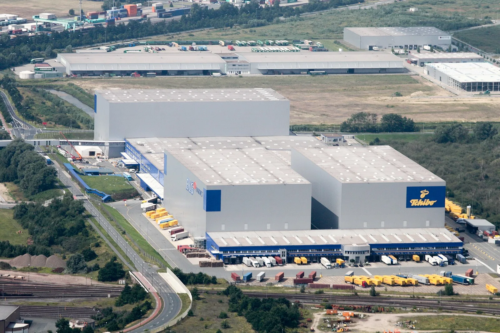
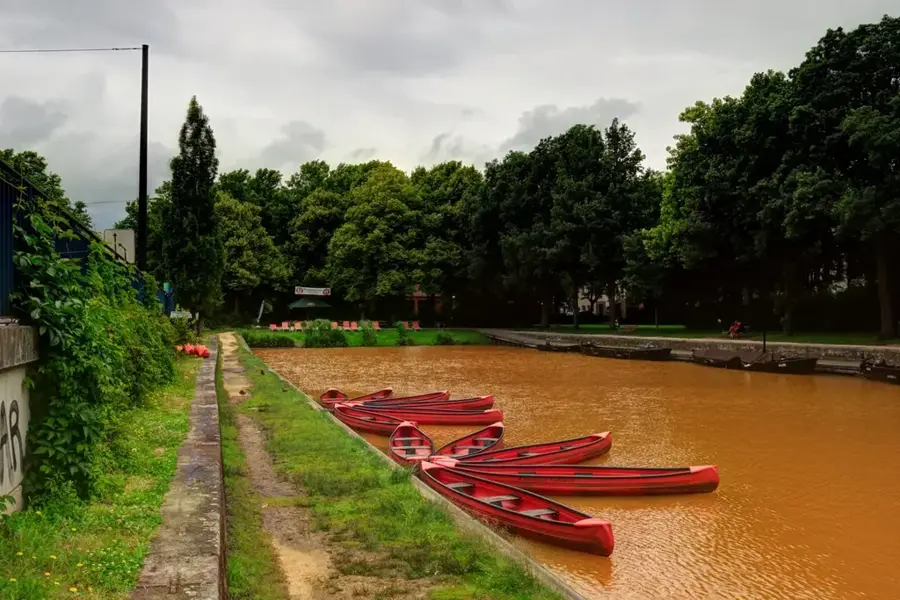
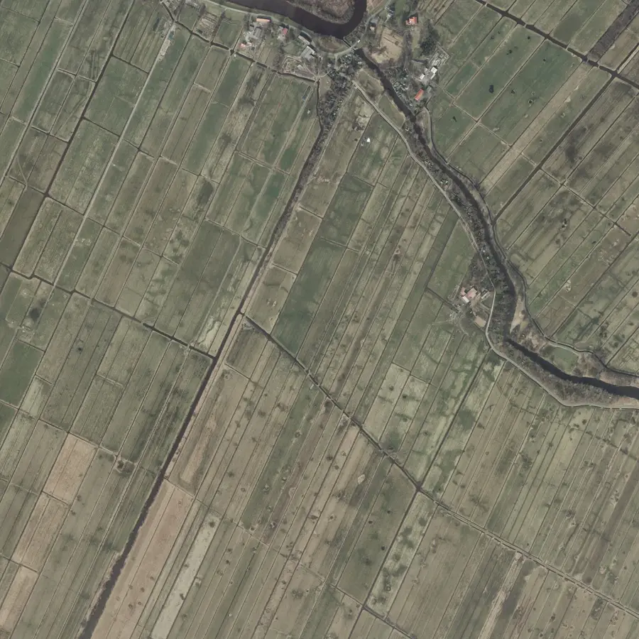
Weser, 452 kilometre uzunluğuyla (kaynak kolu Werra ile birlikte 744 kilometre) havzası tamamen Almanya sınırları içinde kalan tek büyük Alman nehridir. Hannoversch Münden'de Fulda ve Werra'nın birleşmesiyle oluşur ve kuzey yönünde Weserbergland üzerinden Nordsee'ye (Kuzey Denizi) akar. Havzası yaklaşık 46.000 kilometrekareyi kapsar ve Kuzey Alman Ovaları ile önemli sanayi bölgeleriyle karakterizedir. Weser, Bremerhaven'da belirgin bir haliç ile Deutsche Bucht'a dökülmeden önce Hameln, Minden ve Bremen gibi önemli şehirlerden geçer. Tarihsel olarak nehir, Hansa tüccarları için merkezi bir taşıma yoluydu ve Bremen'in bir dünya ticaret limanı olarak gelişmesinde belirleyici rol oynadı. Bugün Weser, Mittellandkanal ve Küstenkanal aracılığıyla Avrupa kanal ağına bağlı vazgeçilmez bir federal su yoludur. Ekonomik olarak, özellikle Alman otomotiv endüstrisinin Bremerhaven konteyner terminali üzerinden yaptığı ihracat için küresel öneme sahiptir. Ekolojik açıdan Weser ağzı, Nationalpark Niedersächsisches Wattenmeer'de değerli yaşam alanları sunar.

Yolculuğun, hatıran

Weser hatırası bir kartpostal

Kendi fotoğrafını yer damgalı kişisel bir kartpostala dönüştür. Ücretsiz ve kayıt gerektirmez.

Kartpostal oluştur

En iyi ziyaret zamanı & iklim

En keyifli dönem: Haz–Ağu.

OcaŞubMarNisMayHazTemAğuEylEkiKasAra
Ort. °C124913161818141062
Yağmur mm735551395564807458636673

📋 Pratik bilgiler

🧭
Ulaşım
The Weser is exceptionally well-connected via the popular Weser Cycle Path, federal highways, and rail links in numerous towns along its route. Access to the riverbanks is easily possible almost everywhere via well-kept footpaths.
📅
En iyi mevsim
The region is most beautiful from mid-May through October, when passenger ships operate and warm weather invites outdoor activities. Furthermore, spring offers genuinely wonderful views of the blooming meadow landscapes.
⛰️
Arazi ve yollar
In its upper reaches within the Weser Uplands, the river traverses wooded hills and valleys, whereas in the North German Plain it flows through broad marshlands. The paths along the banks are almost completely paved and smooth.
🎒
Ekipman
A wind- and water-resistant jacket is particularly recommended in the North German stretches. Standard casual shoes are entirely sufficient for the paved riverside paths; cyclists, of course, should remember their appropriate gear.
🅿️
Otopark
Numerous towns scattered along the Weser provide free or paid parking options in the immediate vicinity of the river. At the larger locks or key tourist boat landings, the designated parking facilities are often very well developed.
⚠️
Güvenlik
The pathways are safe and easily accessible for all types of visitors. However, since the Weser is a major federal waterway, swimmers and water sports enthusiasts must strictly pay attention to heavy shipping traffic and strong currents.
⏱️
Gerekli süre
Whether for a quick one-hour stroll or a multi-week holiday cycling along the path - the duration of a stay is highly flexible. Many visitors use long weekends to quietly explore individual idyllic stretches of the river at their own pace.

Geographie

Koordinaten
53.08000, 8.74000

Fakten

  • Uzunluk: Hannoversch Münden'den Nordsee'ye kadar 452 kilometredir.
  • Toplam uzunluk: Werra kaynağı dahil edildiğinde 744 kilometredir.
  • Havza: 46.306 km²'lik alanın tamamı Almanya içindedir.
  • Ağız: Außenweser, Bremerhaven yakınlarında Nordsee'ye dökülür.
  • Gemicilik: Unterweser, Bremen'e kadar deniz gemileri için uygundur.
  • Weserstein: Fulda ve Werra nehirlerinin birleştiği noktayı işaret eder.

Çevreyi keşfet

Yakındaki ilgi çekici yerler

Route planner — Car & Motorhome

Where do you start? We build the route here, with stops and country notes along the way.

Vehicle
Only stops with (optional):
Motorhome dimensions

© OpenStreetMap contributors · OpenRouteService

Sehenswürdigkeiten in der Stadt Weser (2)

Rablinghauser Strand🎡 eğlence

In naturbelassener Umgebung am Ufer der Weser bietet der Rablinghauser Strand einen ruhigen Kontrast zum Stadtleben. Das weite, grüne Flussufer lädt zu gemütlichen Spaziergängen und entspannten Pausen am Wasserlauf ein. Um die friedliche Stimmung fernab des Verkehrs zu genießen, ist ein Besuch in den frühen Abendstunden sehr zu empfehlen.

Waller Sand🎡 eğlence

Waller Sand an der Weser in Bremen.

🆓

Çevredeki gezilecek yerler

Sıkça sorulan sorular

How is the Weser formed?
The Weser is formed in Hann. Münden by the confluence of the Werra and Fulda.
Which Hanseatic city is located on the Weser?
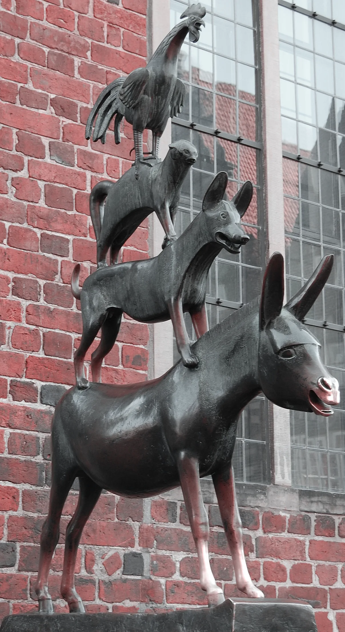
Bremen is the most significant city on the Weser, famous for the Bremen Town Musicians.
What is the Weser Renaissance?
A magnificent architectural style with ornate gables, especially common in the Weser Uplands.
Can you cycle along the Weser?
Yes, the Weser Cycle Route leads almost without inclines from the mountains to the sea.
Are there fairytale locations on the Weser?
Yes, Hameln is world-famous for the legend of the Pied Piper, who is said to have lived here.
Weser: nerede yer alıyor?
Weser, Almanya bölgesinde yer alır.
Weser: nereler gezilir?
Öne çıkanlar: Rablinghauser Strand, Waller Sand.
Weser: en iyi ziyaret zamanı nedir?
En keyifli dönem: Haz, Ağu.
Weser: neden ziyaret edilmeli?
Weser, 452 kilometre uzunluğuyla (kaynak kolu Werra ile birlikte 744 kilometre) havzası tamamen Almanya sınırları içinde kalan tek büyük Alman nehridir.
Auf der Karte ansehen → En güzel plajlar → OpenStreetMap →
Avrupa
Plizio ile keşfet Avrupa'da daha fazla yer keşfedin
Almanya içinde daha fazla yer →

Städte in der Nähe