Plizio Visual Lab
Katzenbuckel
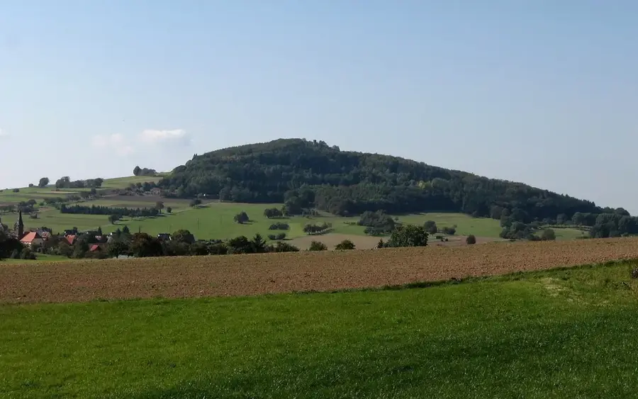
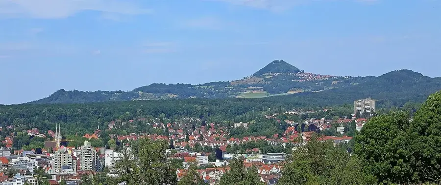
Katzenbuckel, 626 metre ile Odenwald'ın en yüksek noktasıdır ve Baden-Württemberg'in kuzeyinde, Waldbrunn belediyesi yakınlarında yer alır. Jeolojik olarak, yaklaşık 53,5 milyon yıl önceki Alt Eosen döneminden kalma sönmüş bir yanardağın kalıntısıdır. Çevredeki Odenwald'ın alacalı kumtaşının aksine, dağ, sertliği sayesinde erozyona direnmiş, silis açısından fakir bir volkanik kayaç olan sanidin-nefelinitten oluşur. Zirvede, 1820 yılında inşa edilen ve Neckar vadisi üzerinde geniş bir manzara sunan 18 metre yüksekliğinde kumtaşından bir gözetleme kulesi bulunur. Özel bir özelliği, bugün içinde Katzenbuckelsee'nin bulunduğu ve volkanik baca dolgularına bakış sağlayan eski taş ocağıdır. Dağ ayrıca doğa koruma için önemli bir nokta olup fakir bazalt topraklarında nadir bitki türlerine ev sahipliği yapmaktadır.
Haritada keşfet
Almanya hakkında ne kadar bilgilisin?
Etkileşimli haritada 10 çeşitli zorlukta şehirleri, manzaraları ve bölgeleri bul.
Seyahatin, senin anın
Katzenbuckel’den bir kartpostal
Kendi fotoğrafını yerel posta puluyla kişisel bir kartpostala çevir. Ücretsiz ve kayıt gerektirmez.
Kartpostal oluştur- Konum: Baden-Württemberg, Almanya
- Öne çıkanlar: St. Maria · Evangelische Kirchengemeinde Strümpfelbrunn · Aussichtsturm Katzenbuckel
- Yakınlar: Eberbach (6 km)
En iyi ziyaret zamanı & iklim
En keyifli dönem: Haz–Ağu.
| Oca | Şub | Mar | Nis | May | Haz | Tem | Ağu | Eyl | Eki | Kas | Ara | |
|---|---|---|---|---|---|---|---|---|---|---|---|---|
| Ort. °C | 0 | 1 | 5 | 10 | 14 | 18 | 21 | 20 | 15 | 10 | 5 | 1 |
| Yağmur mm | 65 | 52 | 54 | 44 | 75 | 62 | 70 | 71 | 50 | 61 | 63 | 72 |
📋 Pratik bilgiler
Coğrafya
Gerçekler
- 626 metre yüksekliğiyle Odenwald'ın en yüksek dağı.
- Eosen döneminden (53,5 milyon yıl önce) volkanik kökenli.
- Gözetleme kulesi 1820 yılında inşa edilmiştir.
- Taş ocağı işletmesi ancak 1974 yılında durdurulmuştur.
- Nadir nefelinit kayacının varlığı.
- Katzenbuckelsee eski bir maden ocağında oluşmuştur.
Yakınları keşfet
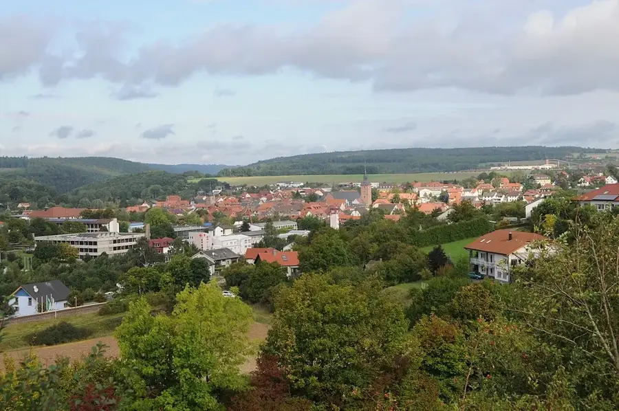
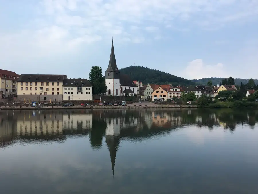
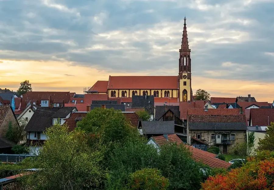
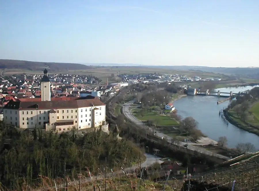
Çevredeki dikkat çekici yerler
Rota planlayıcı — Araba & Karavan
Nereden başlıyorsunuz? Burada rota oluşturuyoruz, yol boyunca duraklar ve ülke notları ile.
© OpenStreetMap contributors · OpenRouteService
Kasabadaki görülecek yerler Katzenbuckel (9)
Freya-Quelle
Freya Kaynağı, Odenwald’daki en yüksek kaynak olup su çekimi için geliştirilmiştir.
Kneipp-Anlage
Mülben kür parkında bir Kneipp tesisi.
Kur Park🌳 park
Kür parkı, Waldbrunn (Almanya) içindeki bir parktır.
Hirschberg
Hirschberg, Baden-Württemberg, Almanya’da bir tepedir.
Jagdschloss Max-Wilhelmshöhe🏰 kale
Jagdschloss Max-Wilhelmshöhe, Baden-Württemberg’in kuzeyinde bir av köşküdür.
Çevredeki gezilecek yerler
Sıkça sorulan sorular
Odenwald'daki en yüksek nokta nedir?
Katzenbuckel bir volkan mı?
Orada bir seyir kulesi var mı?
Orada yürüyüş yapılabilir mi?
Nerede park edebilirsiniz?
Katzenbuckel: nerede yer alıyor?
Katzenbuckel: gezilecek yerler neler?
Katzenbuckel: en iyi ziyaret zamanı ne zaman?
Katzenbuckel: neden ziyaret edilmeye değer?

Yakındaki şehirler