Plizio Visual Lab
Boljunsko Polje
ℹ️Praktične informacije — Boljunsko Polje
▾
🌤 Vrijeme — 5 dana
📍 U okolici
Znamenitosti u okolici
💡 Savjeti
- Gledajte padobranse spuštati se na polje nakon polijetanja s mjesta Brgud na Učki.
- Tražite rijetku učkarsku zvončicu, endemsku biljku koja raste samo u pukotinama ove planine.
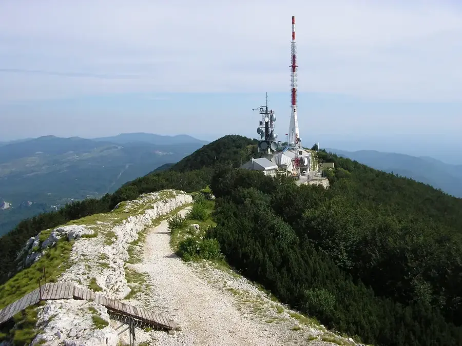
- Iskoristite polje kao polazište za uspon na Vojak (1.401 m), najviši vrh Istre.
- Posjetite obližnju Velu Dragu, zapanjujući geološki spomenik s masivnim vapnenačkim tornjevima.
- Promatrajte tradicionalne suhozidne ograde i pastirske kolibe koje oblikuju ovaj krški krajolik.
🍽 Gastro
Izuzetno slatki lokalni kesteni, slavljeni na jesenskim festivalima i korišteni u raznim desertima.
Probajte organski ovčji sir iz planinskog sela Mala Učka.
Bogati, mineralima nabijeni med sakupljen u gustim bukovim i kestenovim šumama Učke.
🛍 Kupovina · 🧘 Mirna mjesta
Pire od kestena ili kandirani kesteni, najpopularniji lokalni dar u jesenjoj sezoni.
Mješavine osušenih trava ubrani izravno sa padina Parka prirode Učka.
Guste šume iznad polja koje pružaju hladovinu i potpunu tišinu čak i sredinom ljeta.
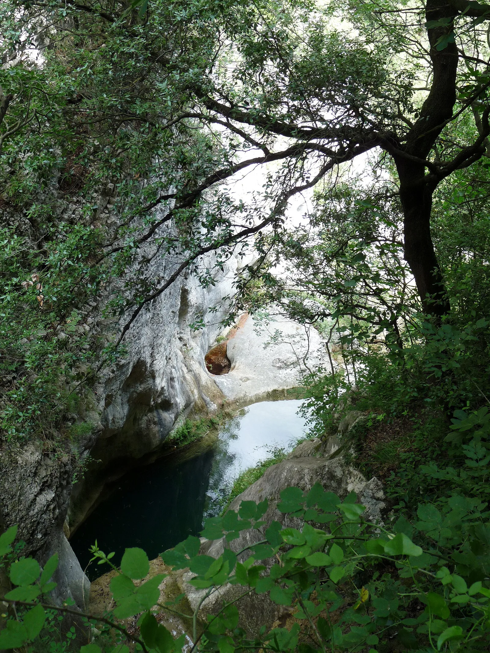
Mirno mjesto na rubu kanjona, savršeno za razmišljanje o masivnim stijenama.
Temperatura mora…
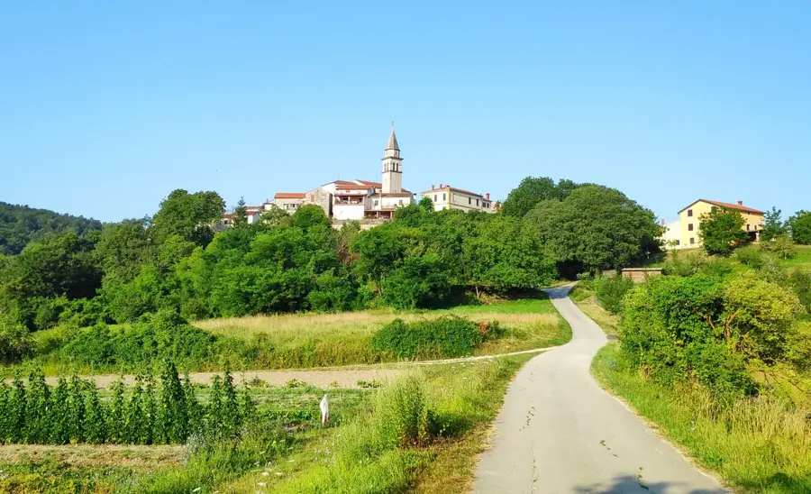
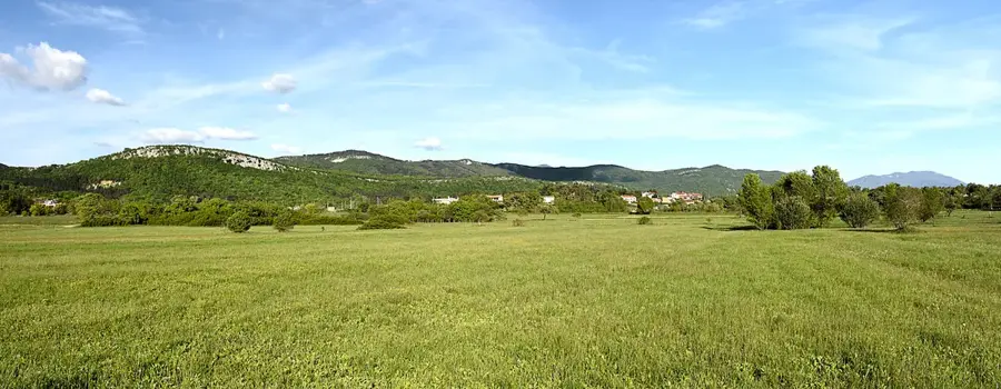
Boljunsko Polje prostire se ispod impresivnog srednjovjekovnog gradića Boljuna na istoku Istre. Ovo područje poznato je po plodnom tlu koje natapa rijeka Boljunčica, stvarajući idealne uvjete za uzgoj žitarica i povrća. Krajolikom dominiraju prostrana polja te vinogradi na sunčanim padinama okolnih brežuljaka. To je savršeno polazište za istraživanje Parka prirode Učka te uživanje u miru unutrašnjosti Istre gdje je tradicionalni način života i dalje vrlo prisutan.
Istražite na karti
Koliko dobro poznajete Hrvatska?
Pronađite gradove, krajolike i regije u 10 raznolikih izazova na interaktivnoj karti.
Tvoje putovanje, tvoja uspomena
Razglednica iz Boljunsko Polje
Pretvori vlastitu fotografiju u osobnu razglednicu s lokalnom markicom. Besplatno i bez prijave.
Napravite razglednicu- Lokacija: Hrvatska
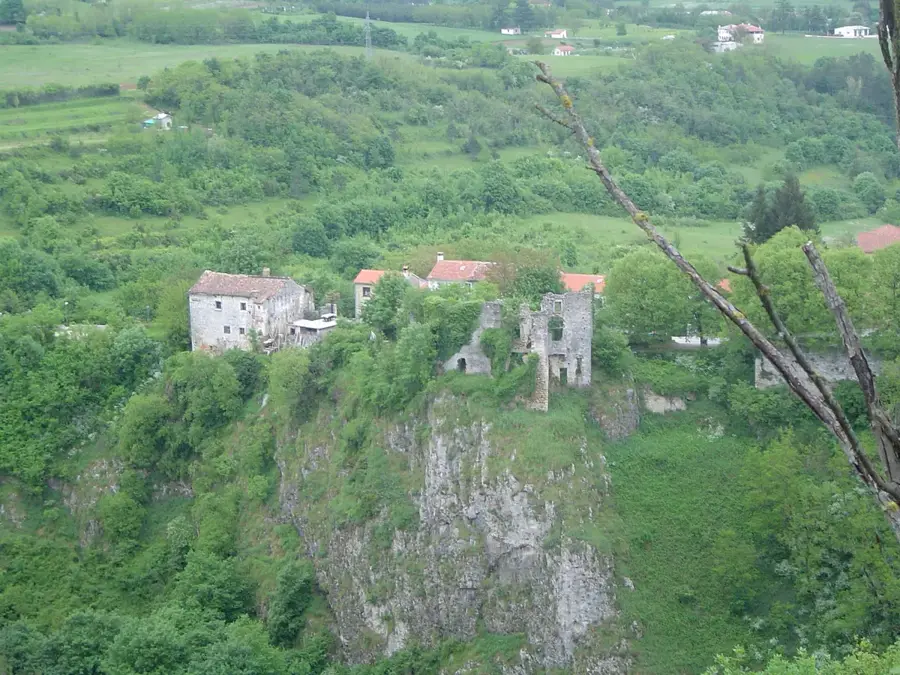
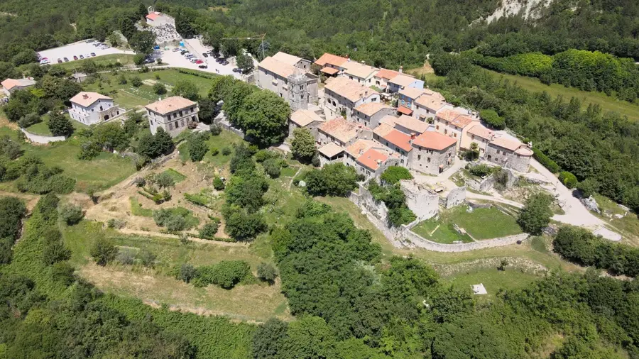
- Istaknuto: Pupićina · Boljun Castle · Kaštel Vranja
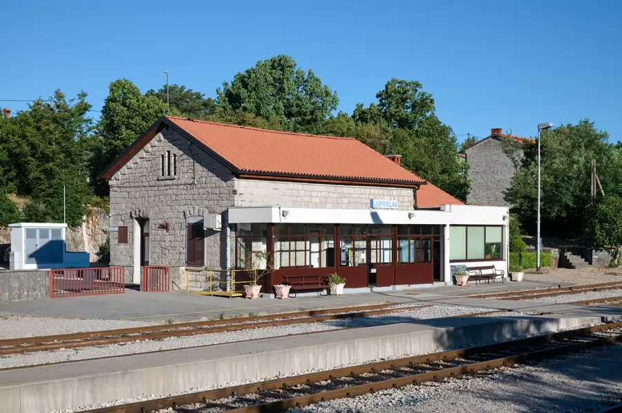
- U blizini: Lupoglav (6 km)
- Stanovništvo: ~143
Najbolje vrijeme za posjet & klima
Najugodnije je razdoblje Lip–Kol.
| Sij | Velj | Ožu | Tra | Svi | Lip | Srp | Kol | Ruj | Lis | Stu | Pro | |
|---|---|---|---|---|---|---|---|---|---|---|---|---|
| Pros. °C | 4 | 4 | 8 | 12 | 16 | 21 | 23 | 23 | 18 | 14 | 9 | 5 |
| Kiša mm | 68 | 83 | 72 | 69 | 89 | 74 | 60 | 79 | 113 | 102 | 123 | 96 |
Geografija
Činjenice
- Središnja Istra
- U podnožju Učke
- Rijeka Boljunčica
- Općina Lupoglav
- Plodno poljoprivredno zemljište
- Polazište za pješačenje
- Tradicionalni proizvodi
- Promatranje ptica
Istražite u blizini
Značajna mjesta u okolici
Planer rute — Auto i kamp-prikolica
Gdje počinjete? Ovdje sastavljamo rutu, sa zaustavljanjima i napomenama po zemljama.
© OpenStreetMap contributors · OpenRouteService
Znamenitosti u gradu Boljunsko Polje (4)
Često postavljana pitanja
Gdje se nalazi Boljunsko Polje?
Koja je glavna aktivnost u tom području?
Ima li Boljun što za vidjeti?
Što možete raditi u prirodi?
Ima li lokalnih manifestacija?
Boljunsko Polje: gdje se nalazi?
Boljunsko Polje: što valja vidjeti?
Boljunsko Polje: kada je najbolje posjetiti?
Boljunsko Polje: zašto vrijedi posjetiti?

Obližnji gradovi