Plizio Visual Lab
Parc national de la Vanoise
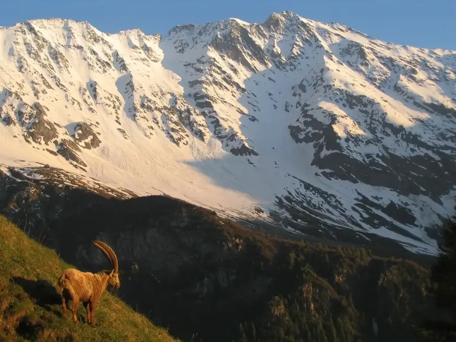
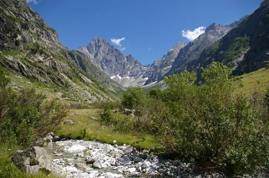
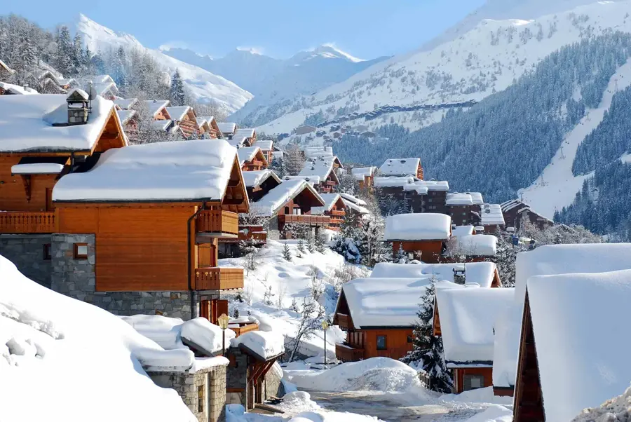
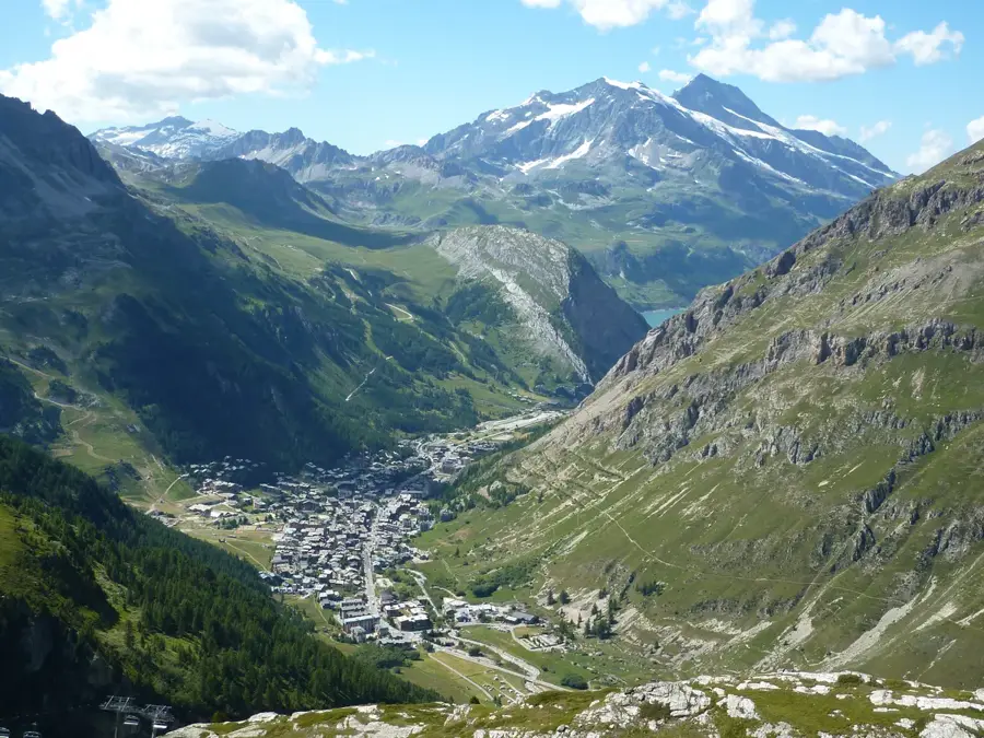
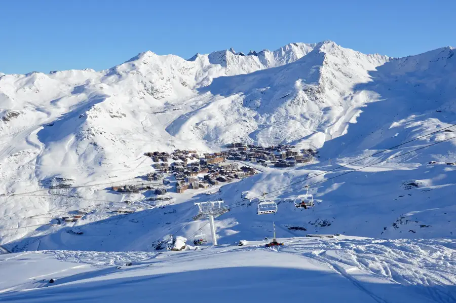
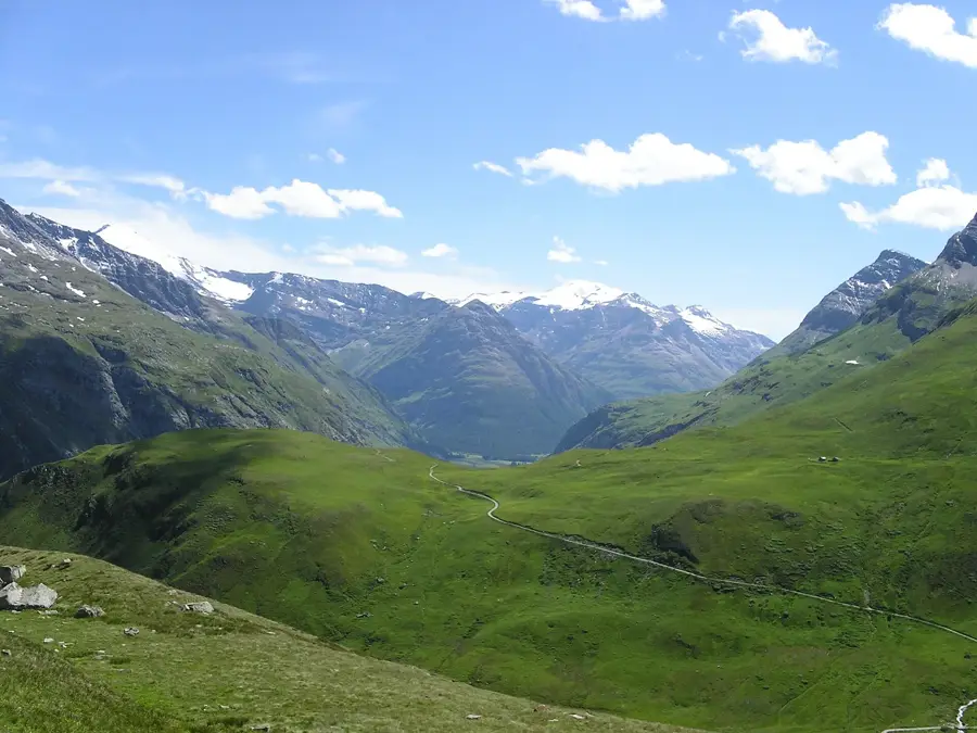
Le Parc national de la Vanoise a été fondé en 1963 en tant que premier parc national de France. Il est situé dans le département de la Savoie, dans les Alpes françaises. Il comprend une zone cœur d'environ 528 kilomètres carrés et est limitrophe du parc national italien du Grand Paradis, avec lequel il forme l'une des plus vastes zones protégées d'Europe occidentale. Le relief est marqué par des paysages de haute montagne comptant plus de 100 sommets dépassant les 3 000 mètres, la pointe de la Grande Casse marquant le point culminant à 3 855 mètres. Le parc a été créé à l'origine pour protéger le bouquetin des Alpes, qui avait presque disparu de cette région. Aujourd'hui, le territoire abrite une riche diversité de flore et de faune alpines, notamment l'aigle royal, le gypaète barbu et la marmotte. Le vaste réseau de sentiers de randonnée fait du parc un centre majeur pour le tourisme de nature et la recherche scientifique en haute montagne.
Explorer sur la carte
Que savez-vous de France ?
Trouvez villes, paysages et régions en 10 défis variés sur la carte interactive.
Votre voyage, votre souvenir
Une carte postale de Parc national de la Vanoise
Transformez votre propre photo en carte postale personnalisée avec un timbre local. Gratuit et sans inscription.
Créer une carte postale- Emplacement: Auvergne-Rhône-Alpes, France
- Points forts: Pointe de la Grande Glière · Ponte des Volnets · Mont Chevrier
- À proximité: Courchevel (10 km)
Meilleure période & climat
La période la plus agréable est Juin–Aoû.
| Jan | Fév | Mar | Avr | Mai | Juin | Juil | Aoû | Sep | Oct | Nov | Déc | |
|---|---|---|---|---|---|---|---|---|---|---|---|---|
| Moy. °C | -8 | -8 | -4 | 1 | 6 | 10 | 12 | 12 | 8 | 4 | -2 | -7 |
| Pluie mm | 73 | 57 | 70 | 69 | 103 | 89 | 79 | 78 | 65 | 71 | 88 | 79 |
📋 Informations pratiques
Géographie
Faits
- L'année de création du parc est 1963.
- Le point culminant est la pointe de la Grande Casse à 3 855 mètres.
- Le parc comprend une zone cœur d'environ 528 kilomètres carrés.
- On compte plus de 100 sommets dépassant les 3 000 mètres.
- L'espace protégé abrite environ 2 600 bouquetins.
- Au total, 400 kilomètres de sentiers de randonnée balisés sont disponibles.
Explorer à proximité
Lieux remarquables autour
Planificateur d’itinéraire — Voiture & Camping-car
Où commencez-vous ? Nous construisons l’itinéraire ici, avec étapes et notes par pays en chemin.
© OpenStreetMap contributors · OpenRouteService
Sites en ville Parc national de la Vanoise (3)
À voir aux alentours
Questions fréquentes
Quel est le symbole du Parc national de la Vanoise ?
Quelles sont les communes les plus connues à proximité ?
Le camping est‑il autorisé dans le parc ?
Y a‑t‑il beaucoup de glaciers dans la Vanoise ?
Le réseau de sentiers est‑il bien développé ?
Parc national de la Vanoise : où se situe-t-il ?
Parc national de la Vanoise : que voir ?
Parc national de la Vanoise : quand est-il préférable de visiter ?
Parc national de la Vanoise : pourquoi vaut-il la peine de visiter ?

Villes à proximité