Plizio Visual Lab
Mvuma
ℹ️Practical info — Mvuma
▾
🌤 Weather — 5 days
📍 Nearby
Sights nearby
💡 Tips
- Use Mvuma as a strategic refueling and rest stop when traveling between major cities.
- Most travelers stop at the Chicken Inn/Chicken Slice junction for a reliable meal.
- Carry small denominations of US dollars for quick roadside purchases.
- Be polite to local vendors; a simple greeting in Shona ('Mhoro') is always appreciated.
- Take the opportunity to stock up on water and snacks before heading toward Masvingo or Gweru.
🍽 Food
The most famous stop for quick, consistent meals and clean facilities.
Smaller spots serving hearty beef stew and sadza near the historic mine area.
High-quality dried meat sold at stalls along the main highway.
🛍 Shopping · 🧘 Quiet spots
Hand-woven baskets and stone carvings available directly on the highway.
Look for honey and roasted maize sold at roadside transit points.
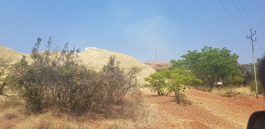
Walk away from the main road for a look at the historic mining layout.
Quiet trails can be found just off the main transit routes in the farming areas.
Water temperature…
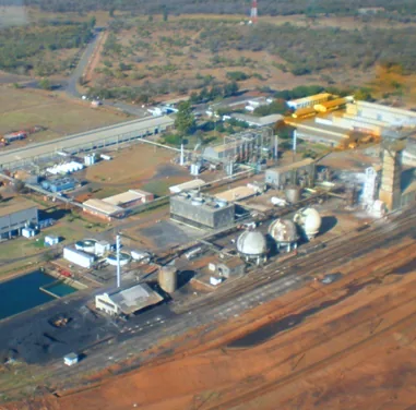
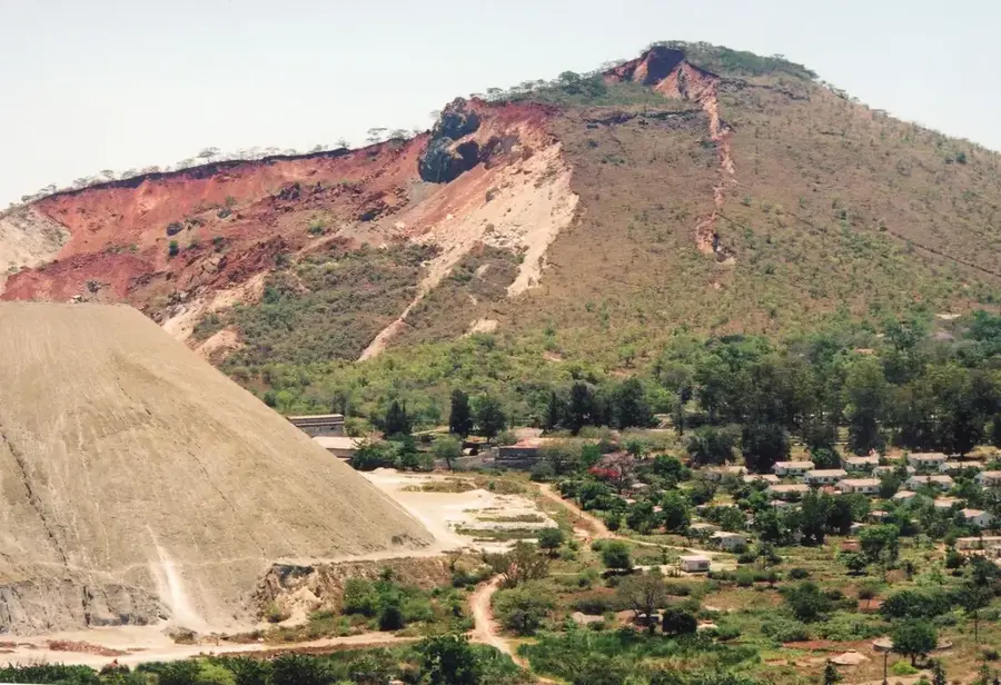
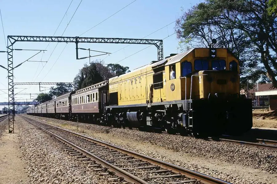
Mvuma is a historic transit town situated in Zimbabwe's Midlands Province, serving as a critical artery in the nation's transport network. Strategically positioned at the junction where the main highway from Harare to Masvingo meets the road to Gweru, it has long been a essential stopover for travelers and freight. The town's origins are deeply rooted in the mining boom of the early 1900s, driven by the nearby Falcon Mine, which was once a prolific producer of gold and copper. While the mining industry has since scaled back, Mvuma has successfully transitioned into a thriving agricultural hub, particularly renowned for its extensive cattle ranching operations. The town's atmosphere is a unique blend of colonial-era remnants and the bustling energy of a modern highway stop. Visitors often find Mvuma to be a convenient and welcoming place to experience the local hospitality and explore the surrounding countryside, which reflects the resilient spirit and economic diversity of Zimbabwe's heartland.
Explore on the map
How well do you know Zimbabwe?
Find cities, landscapes and regions in 10 varied challenges on the interactive map.
Your journey, your memory
A postcard from Mvuma
Turn your own photo into a personal postcard with a local stamp. Free and no sign-up required.
Create a postcard- Location: Zimbabwe
- Highlights: Chirumhanzu District · Chirumanzu-Zibagwe
- Nearby: Chivhu (48 km)
- Population: ~4.331 (2012)
Best time to visit & climate
The most pleasant time to visit is Aug–Oct.
| Jan | Feb | Mar | Apr | May | Jun | Jul | Aug | Sep | Oct | Nov | Dec | |
|---|---|---|---|---|---|---|---|---|---|---|---|---|
| Avg °C | 22 | 22 | 21 | 18 | 16 | 14 | 13 | 16 | 20 | 23 | 23 | 22 |
| Rain mm | 130 | 117 | 97 | 41 | 7 | 5 | 7 | 2 | 8 | 28 | 89 | 180 |
Geography
Facts
- Mvuma has a population of about 8,000 (2012).
- The town is at an elevation of 1,100 m.
- Annual rainfall is 700 mm.
- Regional maize production is 5,000 tonnes annually.
- Mvuma River is 60 km long.
- Mvuma hospital has 30 beds.
Explore nearby
Notable places around
Route planner — Car & Motorhome
Where do you start? We build the route here, with stops and country notes along the way.
© OpenStreetMap contributors · OpenRouteService
Sights in the town Mvuma (2)
Frequently asked questions
What is there to see in Mvuma?
Is Mvuma a safe town for tourists?
What local cuisine can I try here?
How much time should I plan for a stopover?
Are there accommodations in Mvuma?
Mvuma: where is it located?
Mvuma: what is there to see?
Mvuma: when is the best time to visit?
Mvuma: why is it worth visiting?

Nearby cities
History & landmarks
More places