Plizio Visual Lab
Sesheke
ℹ️Practical info — Sesheke
▾
🌤 Weather — 5 days
📍 Nearby
Sights nearby
💡 Tips
- Allow plenty of time for border formalities when crossing into Namibia via the Katima Mulilo Bridge.
- Head to the Zambezi riverbanks for fishing trips; the area is world-renowned for Tigerfish.
- Take note of the border post operating hours (typically 06:00 to 18:00).
- Refuel in Sesheke before heading further into the Western Province's remote areas.
- Stay alert near the river due to the presence of crocodiles and hippos.
🍽 Food
Fresh from the river, often served grilled or in stews.
This region is cattle country; try a locally sourced steak.
A traditional, slightly fermented drink often found in local communities.
🛍 Shopping · 🧘 Quiet spots
A good place to stock up on basic supplies and local food items.
Look for fresh seasonal fruit and handmade woven baskets here.
A quiet walk along the river features beautiful views of the water.
Find a quiet spot under the trees just outside the main town area.
Water temperature…
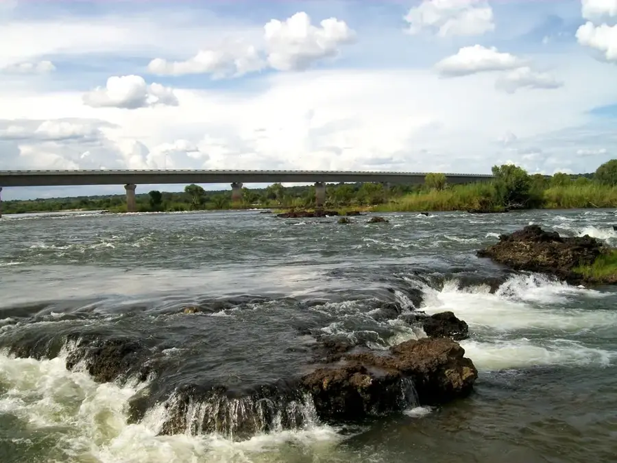
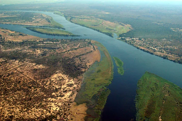
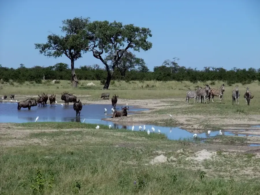
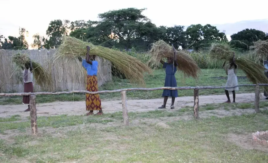
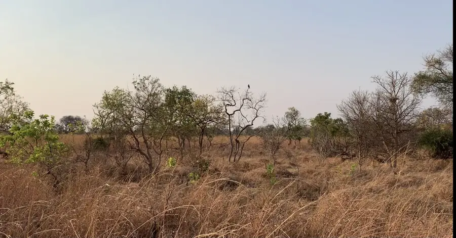
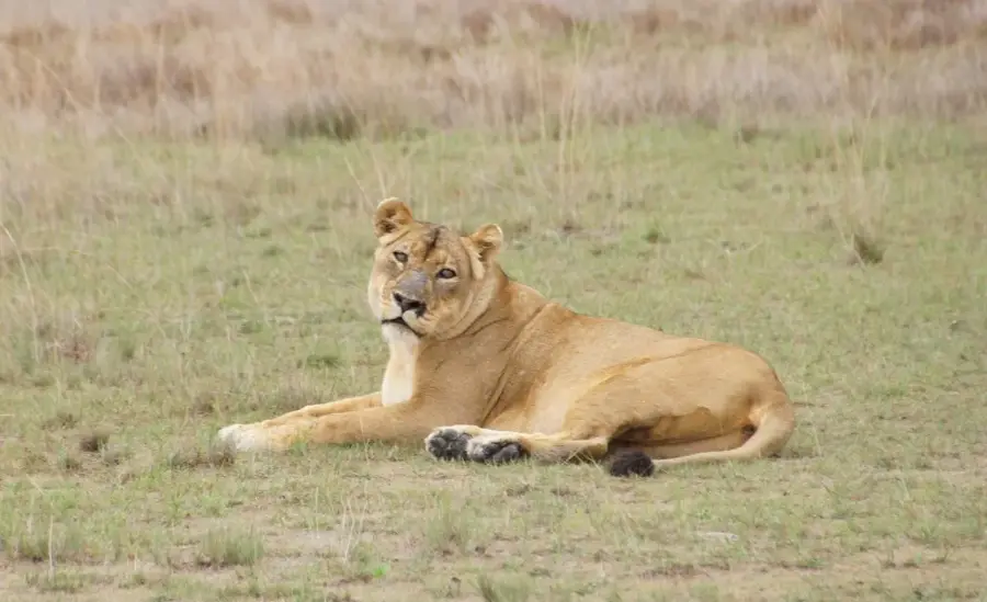
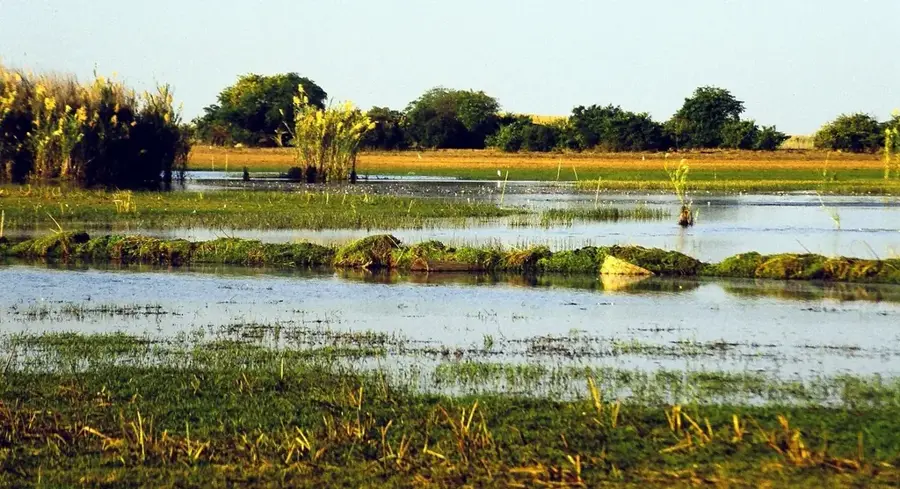
Sesheke is situated on the banks of the Zambezi River in Zambia's Western Province and serves as a vital strategic border crossing with Namibia. The Katima Mulilo Bridge, opened in 2004, spans the river to connect Sesheke directly with the Namibian town of Katima Mulilo, forming a centerpiece of the Trans-Caprivi Corridor. This infrastructure has transformed the town into a major logistical hub for regional trade, linking landlocked African markets with Atlantic ports. Historically, Sesheke was a central location within the Lozi Kingdom and played a pivotal role in the administration of the Upper Zambezi region. The surrounding landscape is characterized by vast floodplains and teak forests, which were once a significant source for the domestic timber industry. Nearby, the Sioma Ngwezi National Park features a glimpse into untouched wilderness and serves as a sanctuary for large herds of elephants and diverse wildlife. Today, Sesheke is a rapidly growing urban area shaped by international transit, fishing, and cross-border commerce. The cultural identity of the residents remains deeply rooted in Lozi traditions.
Explore on the map
How well do you know Zambia?
Find cities, landscapes and regions in 10 varied challenges on the interactive map.
Your journey, your memory
A postcard from Sesheke
Turn your own photo into a personal postcard with a local stamp. Free and no sign-up required.
Create a postcard- Location: Zambia
- Population: ~29.922 (2024)
Best time to visit & climate
The most pleasant time to visit is May, Jun, Aug.
| Jan | Feb | Mar | Apr | May | Jun | Jul | Aug | Sep | Oct | Nov | Dec | |
|---|---|---|---|---|---|---|---|---|---|---|---|---|
| Avg °C | 25 | 25 | 25 | 24 | 21 | 19 | 18 | 21 | 26 | 29 | 28 | 26 |
| Rain mm | 189 | 141 | 113 | 43 | 3 | 1 | 0 | 0 | 2 | 12 | 76 | 183 |
Geography
Facts
- Border town on the Zambezi River opposite Katima Mulilo, Namibia.
- The Katima Mulilo Bridge (900m long) was completed in 2004.
- Vital link on the Walvis Bay-Ndola-Lubumbashi Development Corridor.
- Historical center of the Lozi people in the Western Province.
- Access point for the Sioma Ngwezi National Park (5,000 sq km).
- Region characterized by extensive Teak and Mopane forests.
Explore nearby
Notable places around
Route planner — Car & Motorhome
Where do you start? We build the route here, with stops and country notes along the way.
© OpenStreetMap contributors · OpenRouteService
Frequently asked questions
How long to stay in Sesheke?
When is the best time to visit?
How to get to Sesheke?
Any local specialties here?
Is Sesheke family-friendly?
Sesheke: where is it located?
Sesheke: when is the best time to visit?
Sesheke: why is it worth visiting?

Nearby cities
History & landmarks
Nature
More places