Plizio Visual Lab
Tam Điệp

ℹ️Practical info — Tam Điệp
▾
🌤 Weather — 5 days
📍 Nearby
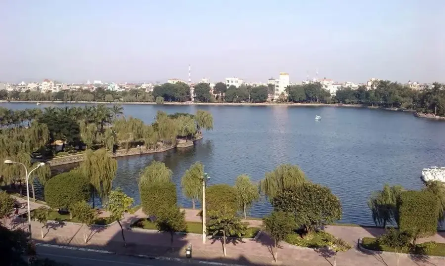
Sights nearby
💡 Tips
- Visit the Đồng Giao pineapple farm during the harvest season in June or July for the most bustling photo opportunities.
- Explore the Ba Dội Pass (Tam Điệp Pass), a historic gateway offering scenic views of the surrounding limestone hills.
- Plan your visit between April and August if you want to try the local seasonal delicacy, mountain snails.
- Rent a motorbike or private car to navigate the vast pineapple fields as public transport is unavailable.
- Wear bright clothing for photos in the green pineapple fields to create a beautiful visual contrast.
🍽 Food
Seasonal snails that live in limestone caves; they have a sweet, herbal taste and are usually steamed with lemongrass.
A local variety of pineapple famous for being exceptionally sweet, fragrant, and juicy.
Lean and firm goat meat from animals raised on limestone cliffs, typically served with crispy rice.
🛍 Shopping · 🧘 Quiet spots
The best place to buy fresh fruit or juice directly from the growers in Đồng Giao.
A famous regional snack made of deep-fried rice, often topped with pork floss.
Look for shops selling specialty green teas grown in the hilly areas around Tam Điệp.
The rolling hills of the plantation are incredibly peaceful during the early morning hours.
Stop at the historic markers for a quiet panoramic view of the Ninh Bình countryside.
Explore the small, quiet paths that lead into the scenic limestone hills surrounding the city.
Water temperature…
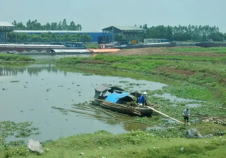
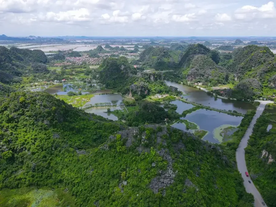
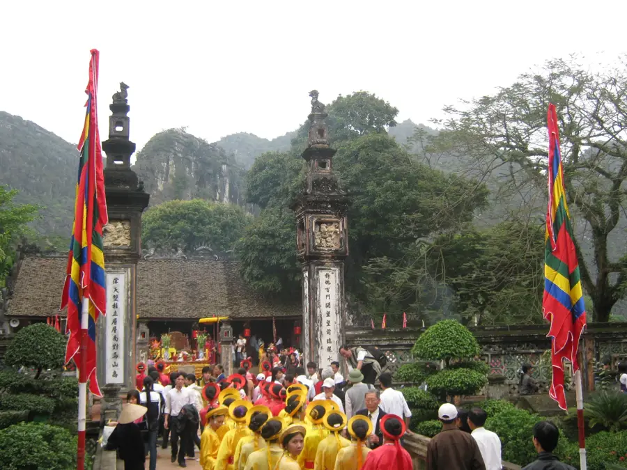
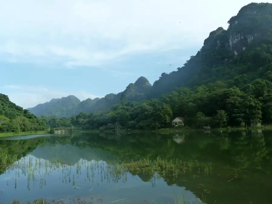
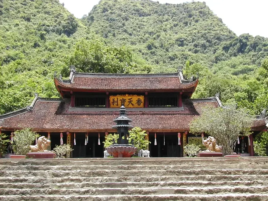
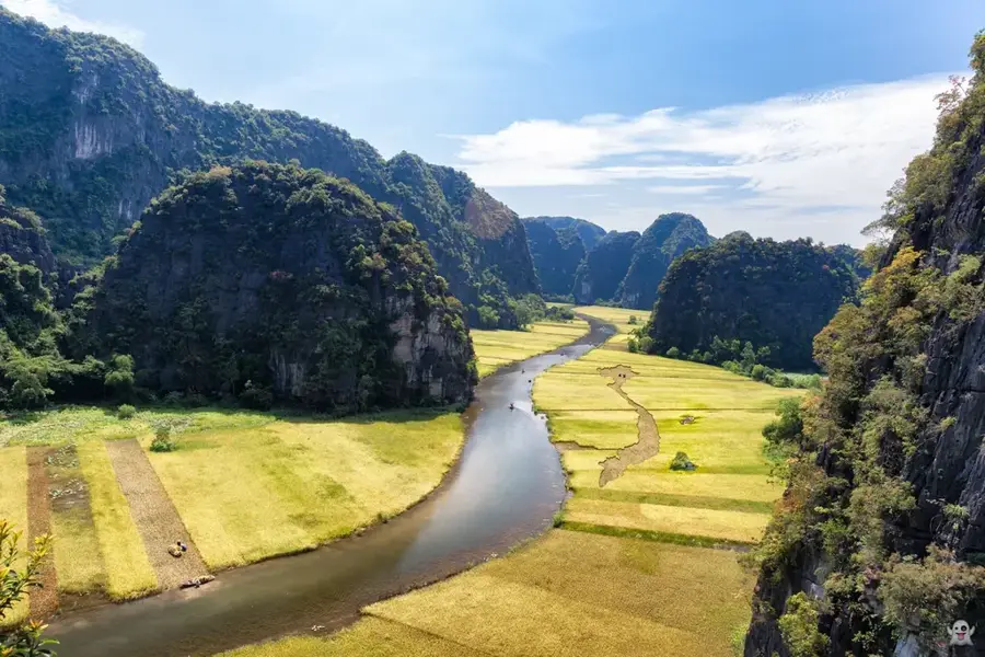
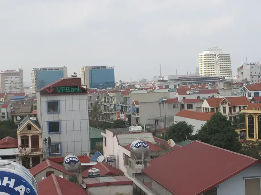
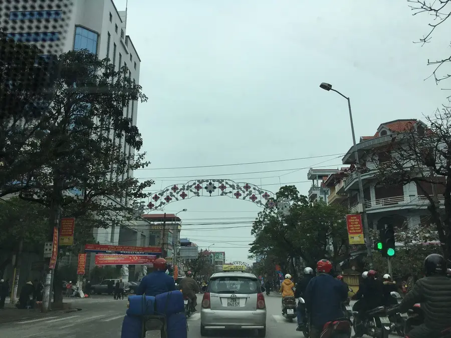
Tam Điệp is a strategically vital city in Ninh Bình Province, often referred to as the 'Southern Gateway' to North Vietnam's capital region. The city is set within an impressive karst landscape, defined by steep limestone cliffs and fertile valleys. Historically, the area is famous for the Tam Điệp Pass, which for centuries served as a critical military defense line for the capital of Thăng Long (modern-day Hanoi). Economically, Tam Điệp has emerged as a major hub for the construction materials industry, particularly cement production, while also leveraging its natural resources for large-scale pineapple cultivation, for which the city is nationally renowned. The surrounding region is home to numerous historical sites, including relics from the era of King Quang Trung, who assembled his forces here. Tam Điệp benefits significantly from its location along National Highway 1A and the North-South Railway, making it a key logistics node. Recent urban development has sought to balance industrial growth with efforts to preserve the unique natural environment.
- Location: Vietnam
- Nearby: Ninh Bình (11 km)
Best time to visit & climate
The most pleasant time to visit is Feb, Mar, Dec.
| Jan | Feb | Mar | Apr | May | Jun | Jul | Aug | Sep | Oct | Nov | Dec | |
|---|---|---|---|---|---|---|---|---|---|---|---|---|
| Avg °C | 18 | 19 | 21 | 24 | 28 | 29 | 29 | 29 | 28 | 26 | 23 | 19 |
| Rain mm | 31 | 19 | 45 | 64 | 163 | 157 | 254 | 302 | 315 | 218 | 69 | 34 |
Geography
Facts
- Tam Điệp was officially elevated to city status on April 10, 2015.
- The city is known as the 'Pineapple Capital' of Northern Vietnam.
- The Tam Điệp Pass consists of three consecutive mountain ridges.
- King Quang Trung defeated the Qing Dynasty forces here in 1789.
- Tam Điệp is home to one of the largest cement plants in Vietnam.
- The city covers a total land area of approximately 105 square kilometers.
Explore nearby
Notable places around
Route planner — Car & Motorhome
Where do you start? We build the route here, with stops and country notes along the way.
© OpenStreetMap contributors · OpenRouteService
Sights in the town Tam Điệp (1)
Frequently asked questions
Where is Tam Điệp?
What can you do nearby?
Is it highly developed for tourism?
What is the climate like?
When is the best time to visit?
Tam Điệp: where is it located?
Tam Điệp: when is the best time to visit?
Tam Điệp: why is it worth visiting?

Nearby cities

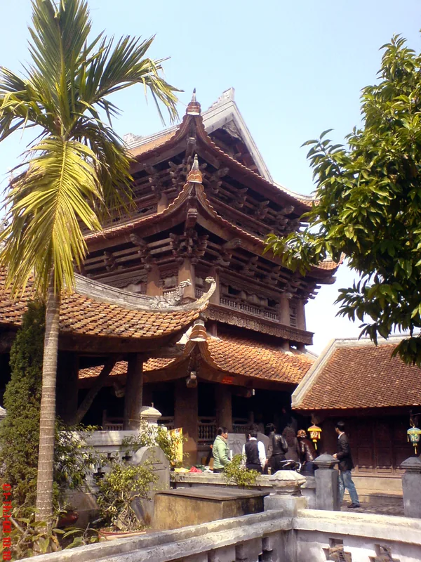

History & landmarks
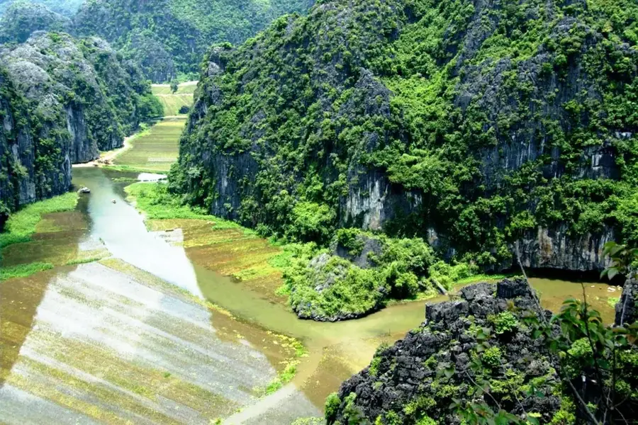
Nature

More places