Plizio Visual Lab
Vatican Hill
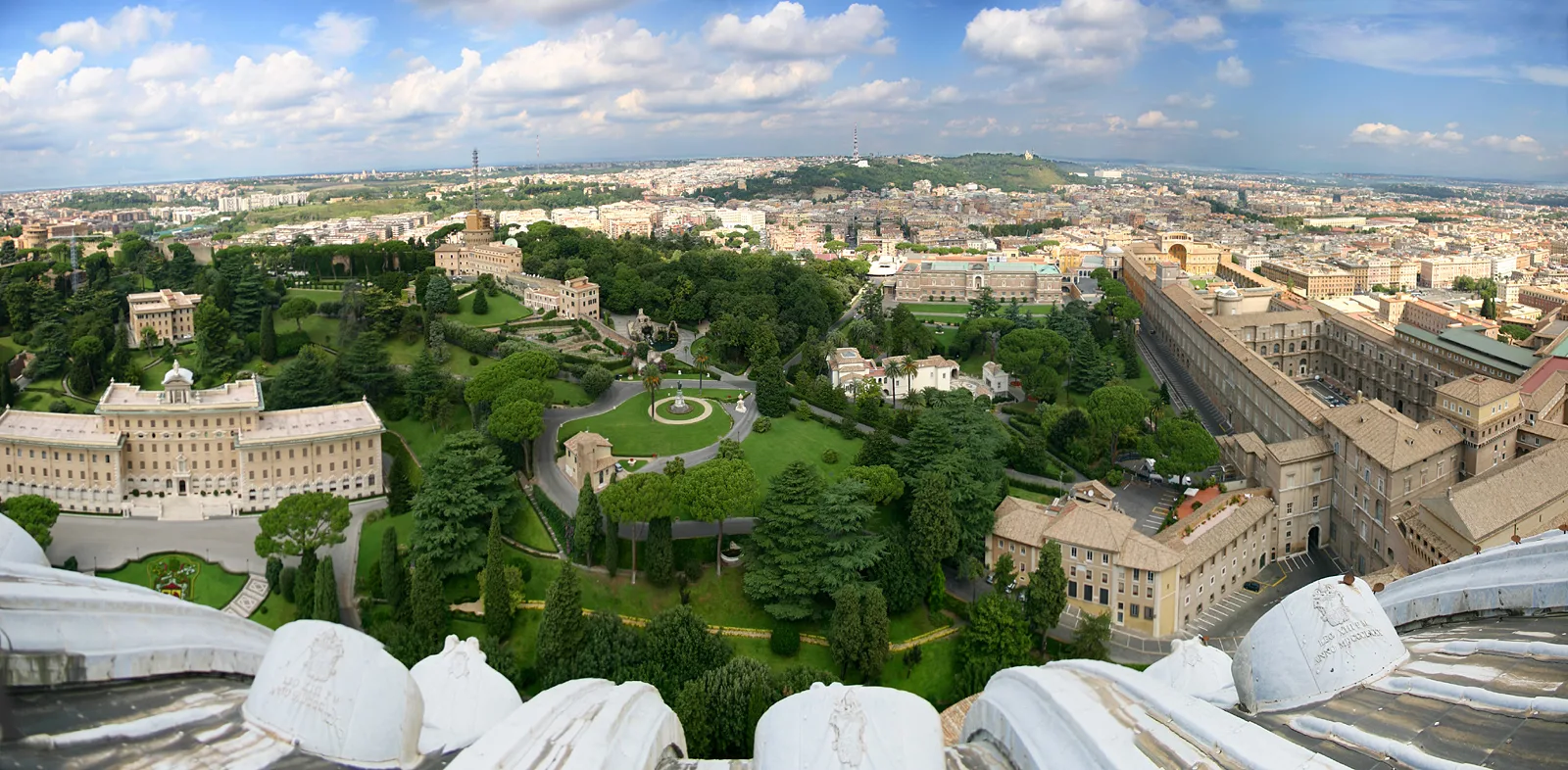
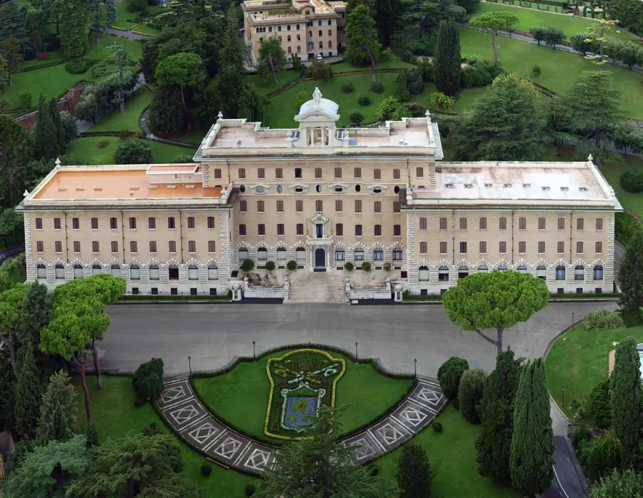
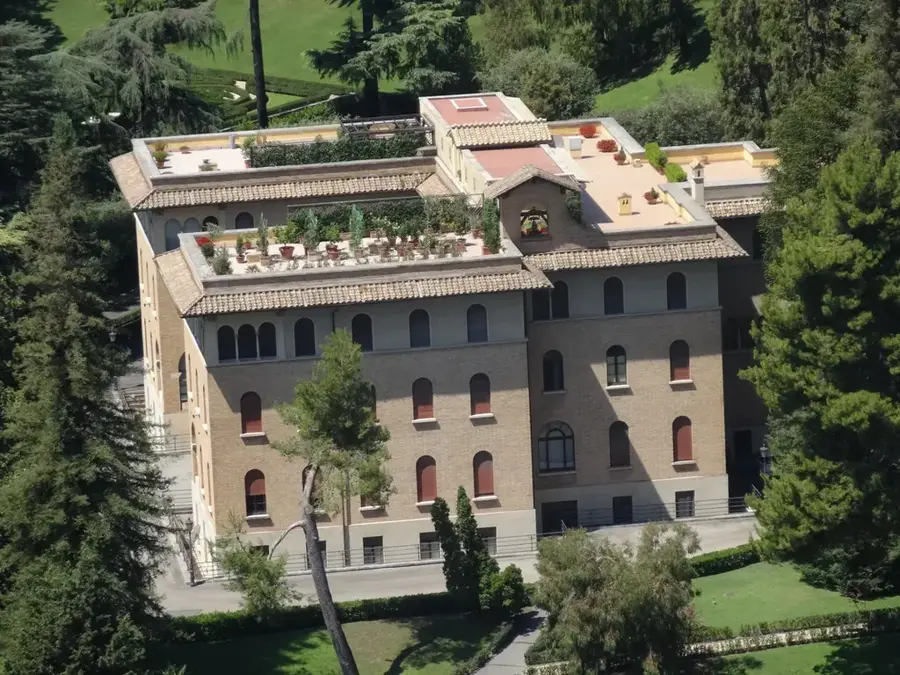
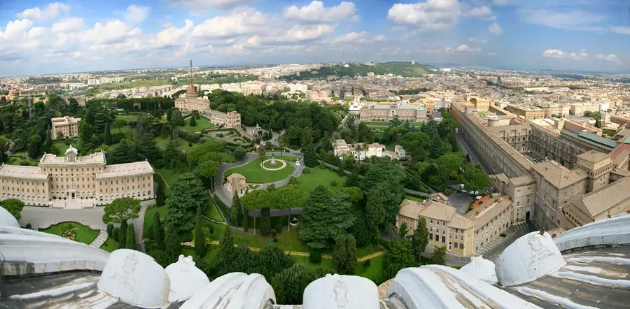
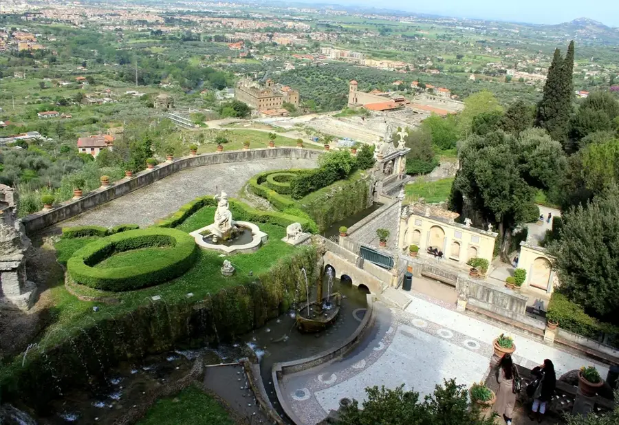
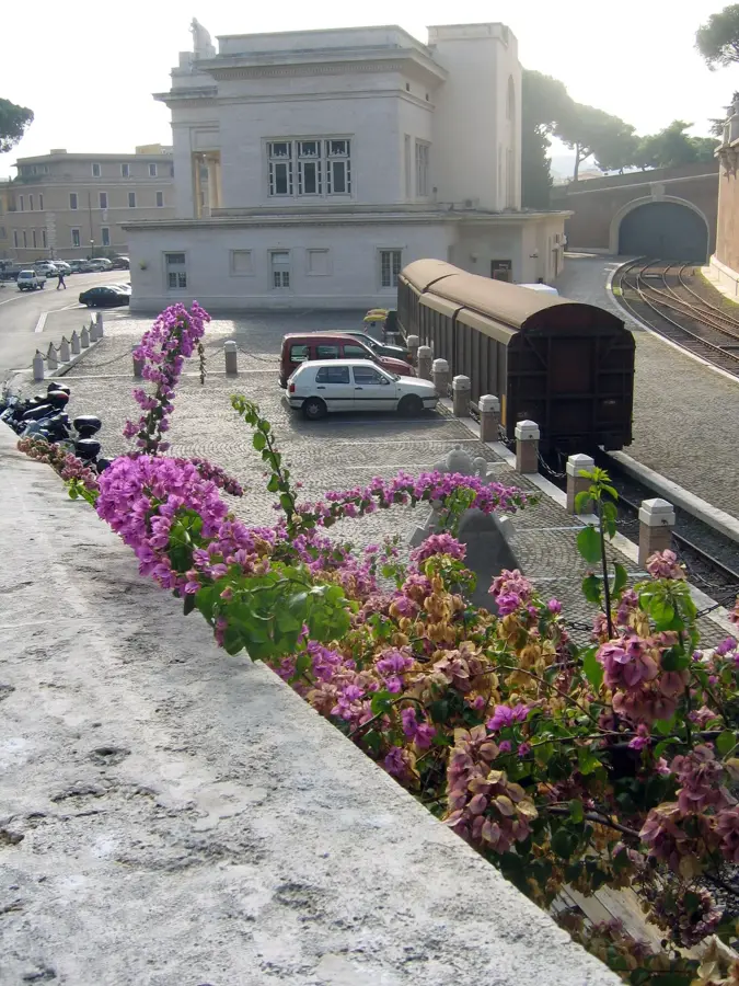
The Vatican Hill (Mons Vaticanus) is the geographical elevation upon which the world's smallest sovereign state is built, renowned since antiquity as a sacred site. Geologically, the hill is primarily composed of Pliocene sediments, tuff, and clay, providing a fertile foundation for the lush vegetation of the gardens. Its highest point reaches approximately 75 meters above sea level, offering a commanding view over the Tiber River and the city of Rome. In Roman times, the hill hosted the Gardens of Agrippina and the Circus of Nero, the site of numerous early Christian martyrdoms, including that of Saint Peter. Today, the hill is almost entirely covered by the Vatican Gardens and the monumental buildings of the Holy See. The terrain has been extensively modified over centuries through terracing and the construction of massive retaining walls to accommodate palaces and sacred structures. Despite the dense architecture, the hill maintains a significant green core that functions as a vital ecological corridor in Rome's urban fabric. Preserving the natural slope stability remains a constant priority for Vatican engineers to protect its historic monuments.
Explore on the map
How well do you know Vatican?
Find cities, landscapes and regions in 10 varied challenges on the interactive map.
Your journey, your memory
A postcard from Vatican Hill
Turn your own photo into a personal postcard with a local stamp. Free and no sign-up required.
Create a postcard- Location: Vatican
- Highlights: St Mary's Church · Vatican Hill · Saint Stephen of the Ethiopians
Best time to visit & climate
The most pleasant time to visit is May, Jun, Sep.
| Jan | Feb | Mar | Apr | May | Jun | Jul | Aug | Sep | Oct | Nov | Dec | |
|---|---|---|---|---|---|---|---|---|---|---|---|---|
| Avg °C | 7 | 8 | 10 | 14 | 18 | 23 | 26 | 26 | 21 | 17 | 12 | 8 |
| Rain mm | 73 | 77 | 69 | 56 | 57 | 34 | 26 | 26 | 70 | 82 | 114 | 92 |
📋 Practical info
Geography
Facts
- The hill's peak elevation is 75 meters (246 feet) above sea level.
- It was originally outside the city limits of ancient Rome.
- The hill is composed of clay and sand from the Pliocene epoch.
- It served as a site for vineyards and gardens in the 1st century BC.
- The current topography is largely shaped by Renaissance engineering.
- It provides a natural drainage system for the Vatican Gardens.
Explore nearby
Notable places around
Route planner — Car & Motorhome
Where do you start? We build the route here, with stops and country notes along the way.
© OpenStreetMap contributors · OpenRouteService
Sights in the town Vatican Hill (10)
St John's Tower🗼 tower
Building in Vatican City, medieval tower.
Cupola di San Pietro
Dome of St. Peter's Basilica, landmark of Vatican City.
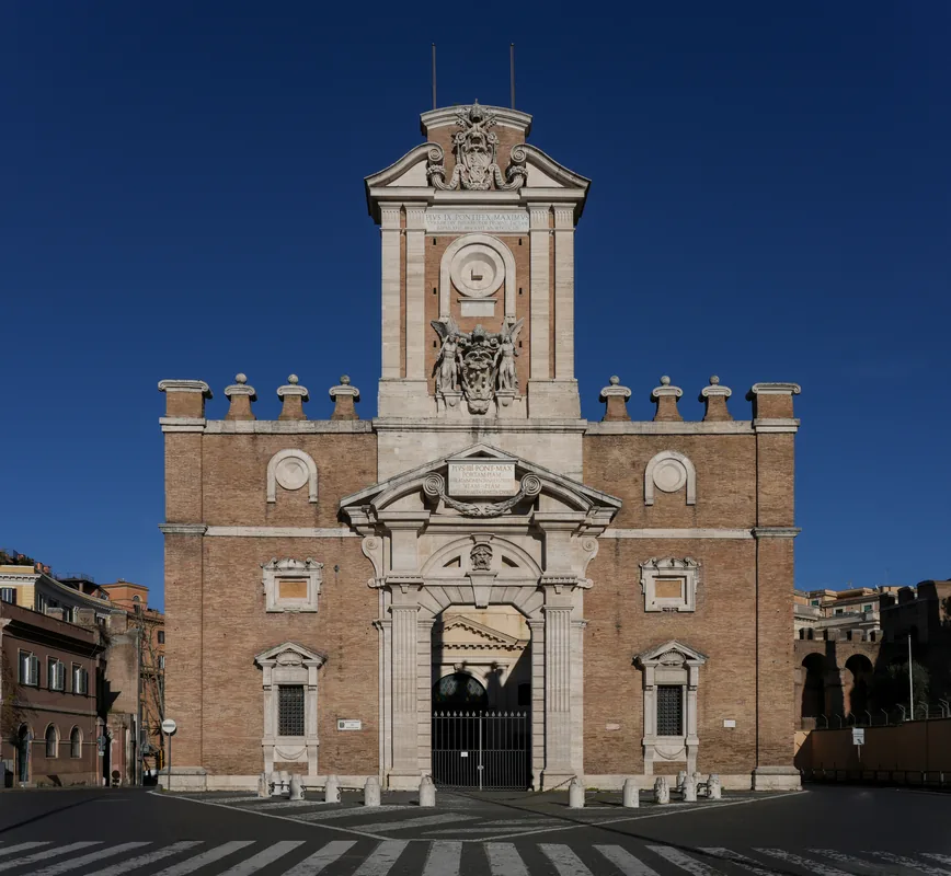
Porta Pertusa
Building in Rome, Italy, gate to the Vatican Gardens.
Dome of Saint Peter
Viewpoint atop St. Peter's dome, overlooking Rome.
Saint Peter's Basilica
Main church of Vatican City, a Renaissance masterpiece.
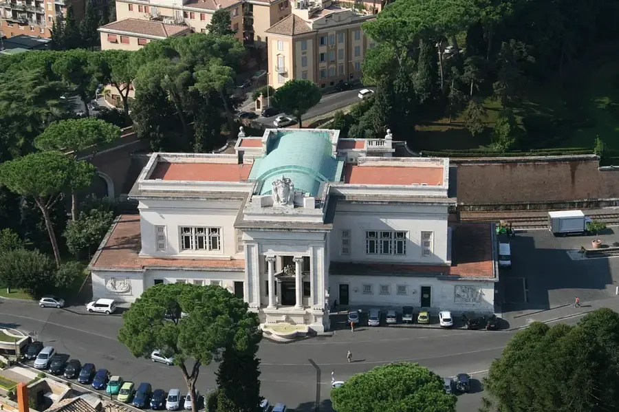
Pius IV House
Seat of the Pontifical Academy of Sciences.
Sights nearby
Frequently asked questions
Is this the highest point in Rome?
How high is the hill?
Is St. Peter's Basilica on the hill?
Is the hill of volcanic origin?
Are there hiking trails there?
Vatican Hill: where is it located?
Vatican Hill: what is there to see?
Vatican Hill: when is the best time to visit?
Vatican Hill: why is it worth visiting?

History & landmarks
Nature
More places