Plizio Visual Lab
Turtkul
ℹ️Practical info — Turtkul
▾
🌤 Weather — 5 days
📍 Nearby
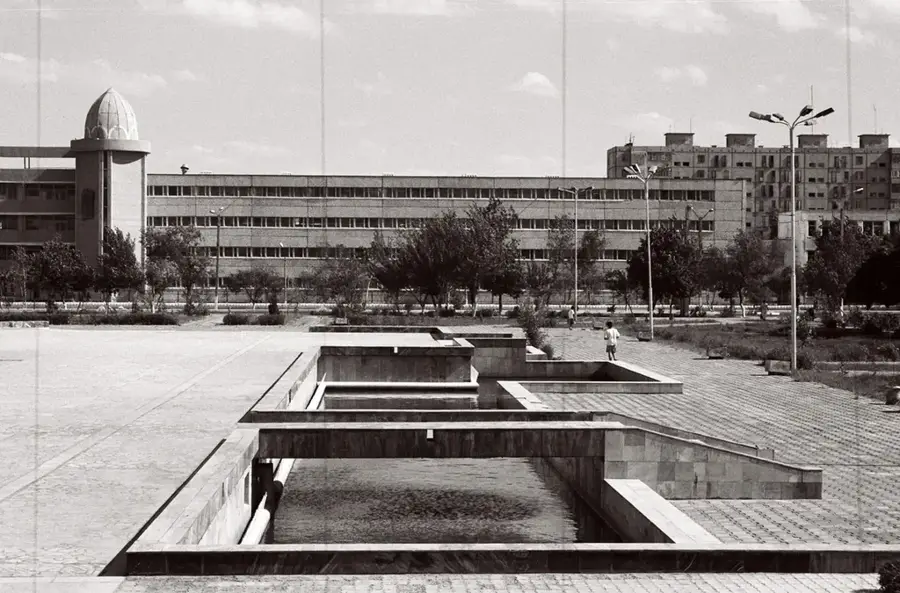
Sights nearby
💡 Tips
- Use Turtkul as a quiet base for day trips to the ancient desert fortresses of Ellik Kala.
- Prepare for extreme desert weather; wear light clothing and stay well-hydrated throughout the day.
- Learn a few basic Karakalpak phrases to connect better with the incredibly friendly local residents.
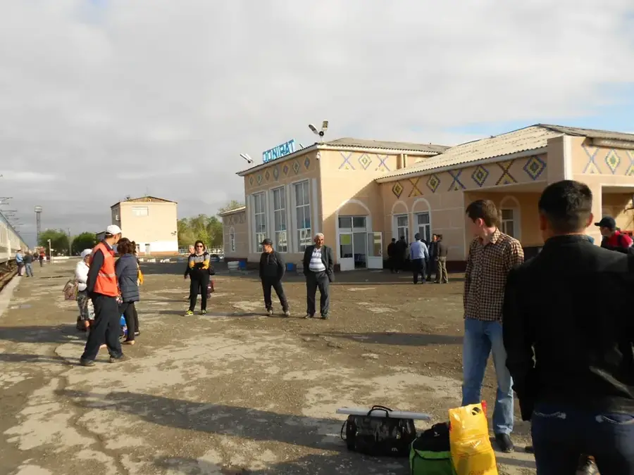
- Shared taxis to Nukus or Khiva can be found at the central market area; agree on the fare beforehand.
- The city is very safe, but street lighting is sparse at night, carrying a small flashlight is recommended.
🍽 Food
Unique Karakalpak dumplings made from sorghum flour, served with meat and a rich broth.
Finely shredded meat mixed with pieces of dough, a hearty local specialty.
The local flatbread (non) is thicker and more substantial than elsewhere; find it fresh at the bazaar.
🛍 Shopping · 🧘 Quiet spots
Buy top-quality dried fruits, nuts, and authentic Karakalpak embroideries here.
Look for hand-woven fabrics and traditional 'doppi' caps in the small shops around the center.
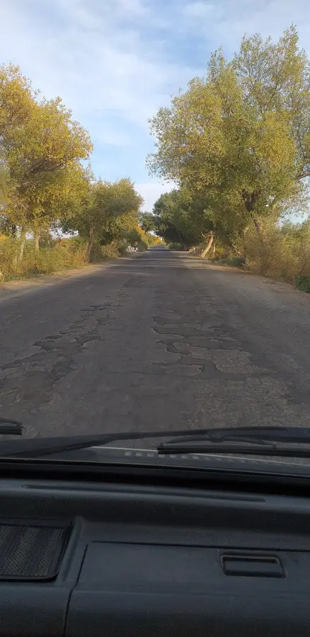
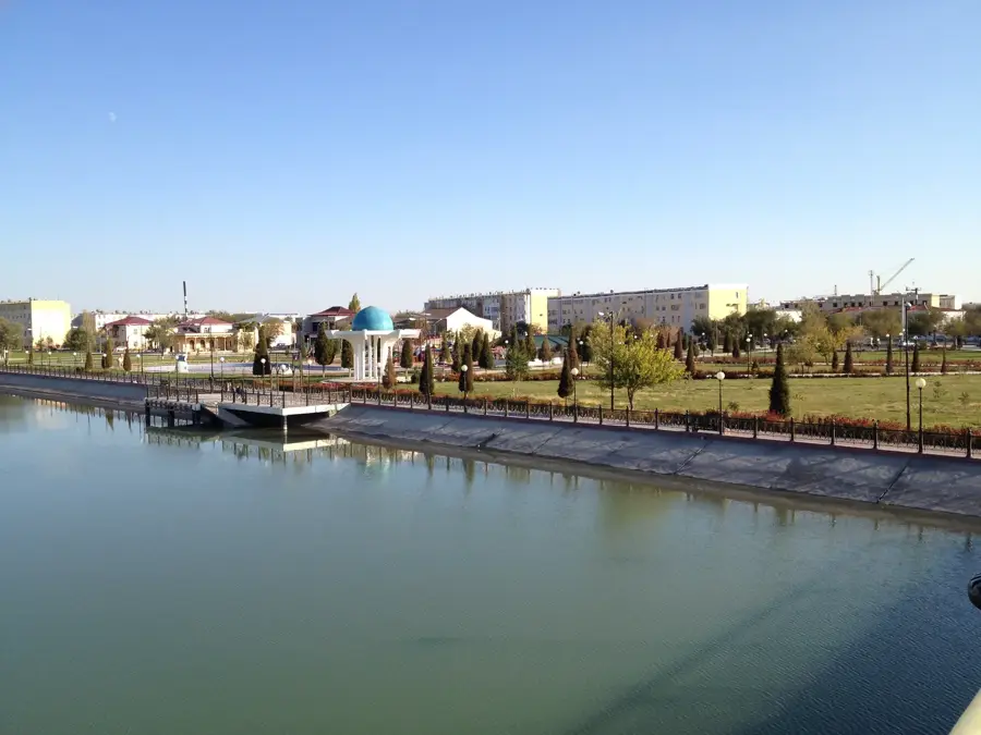
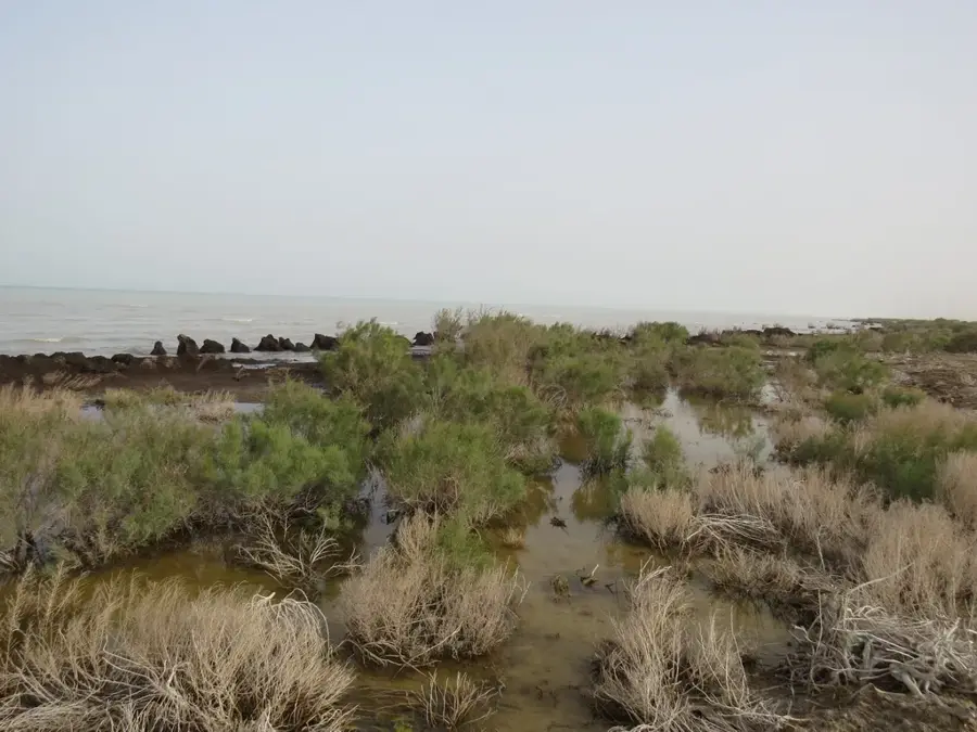
A peaceful spot by the mighty river, convenient for contemplating the vast desert landscape.
The 'Youth Park' is a small green oasis with shaded paths for a relaxed walk.
Water temperature…
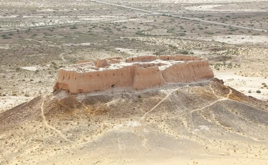
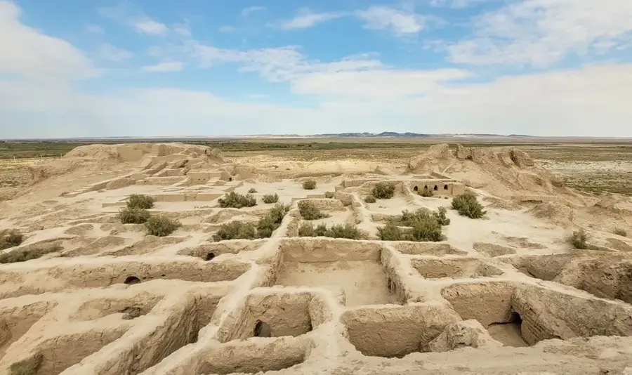
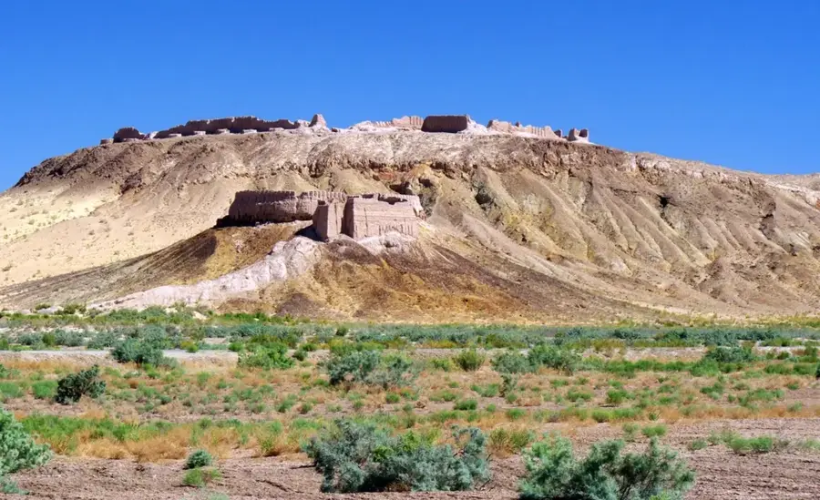
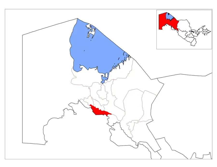
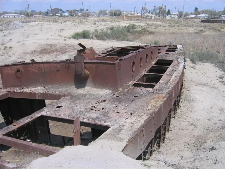
Turtkul, sometimes spelled Tortkul, is a small town of around 60,000 inhabitants in the Republic of Karakalpakstan, about 200 kilometres south-east of Nukus on the right bank of the Amu Darya. Until 1939 Turtkul was the first capital of Karakalpakstan, before that role was transferred to Nukus because of the erosion threat posed by the nearby river. The surroundings hold the archaeologically important fortresses of Toprak-Kala and Ayaz-Kala from the ancient Khorezm Empire; some of their mud-brick walls are still impressively tall and draw a steady stream of tourists. Local livelihoods rest on cotton, rice, melon, and pomegranate farming, plus small-scale workshops. In recent years a major irrigation-modernisation project has been launched to use water more efficiently and ease the salinisation problem. The population is mainly Uzbek and Karakalpak.
- Location: Uzbekistan
- Top sights: Chimes · Turtkul meshiti · To'rtku'l Diyxan Bazari
- Nearby: Urgench (41 km)
- Population: ~48.908 (2016)
Best time to visit & climate
The most pleasant time to visit is Apr, May, Sep.
| Jan | Feb | Mar | Apr | May | Jun | Jul | Aug | Sep | Oct | Nov | Dec | |
|---|---|---|---|---|---|---|---|---|---|---|---|---|
| Avg °C | -3 | 0 | 8 | 15 | 24 | 29 | 31 | 29 | 22 | 13 | 4 | -2 |
| Rain mm | 9 | 14 | 20 | 16 | 10 | 4 | 1 | 1 | 1 | 4 | 8 | 10 |
Geography
Facts
- Turtkul was known as Petro-Alexandrovsk until 1920.
- The city served as the capital of Karakalpakstan from 1932 to 1939.
- Significant portions of the historic city were destroyed by Amu Darya floods.
- It is located approximately 170 kilometers southeast of Nukus.
- Turtkul is a regional hub for the cultivation of rice and cotton.
- The city sits on the southwestern edge of the Kyzylkum Desert.
Explore nearby
Notable places around
Route planner — Car & Motorhome
Where do you start? We build the route here, with stops and country notes along the way.
© OpenStreetMap contributors · OpenRouteService
Sights in the town Turtkul (4)
Frequently asked questions
What is characteristic of Turtkul?
Can one see the Amu Darya River?
How to get to Turtkul?
Are there historical ruins there?
Is the place touristically developed?
Turtkul: where is it located?
Turtkul: what is there to see?
Turtkul: when is the best time to visit?
Turtkul: why is it worth visiting?

Nearby cities
History & landmarks
Nature
More places