Plizio Visual Lab

Uinta Mountains

Plizio editorial teamData Sources
Mountain
—°5
Uinta Mountains (United States)

Weather…

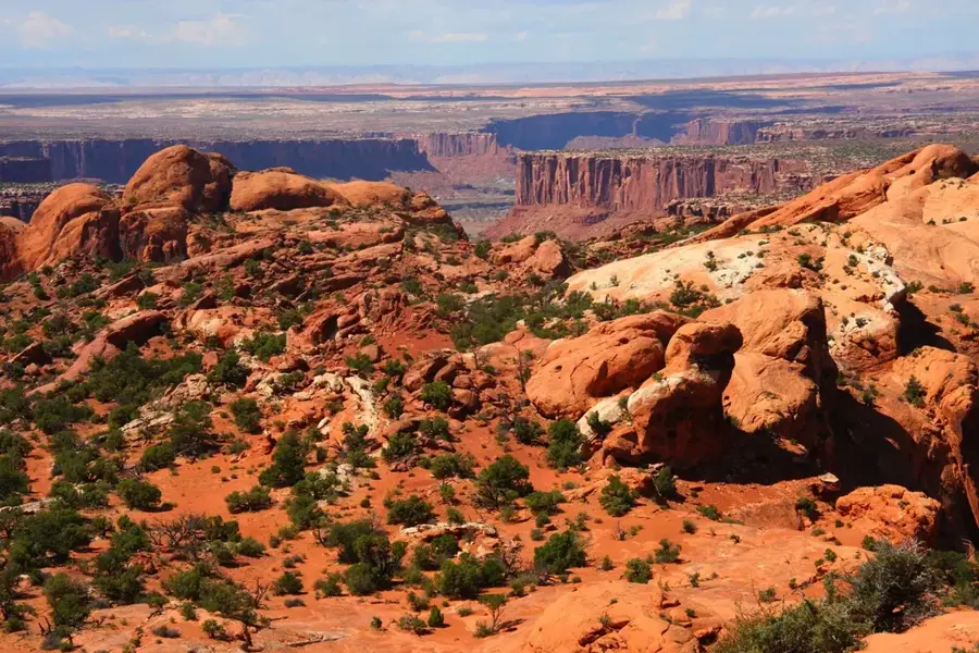
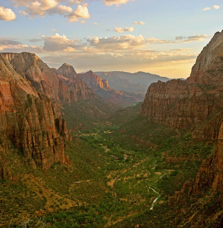
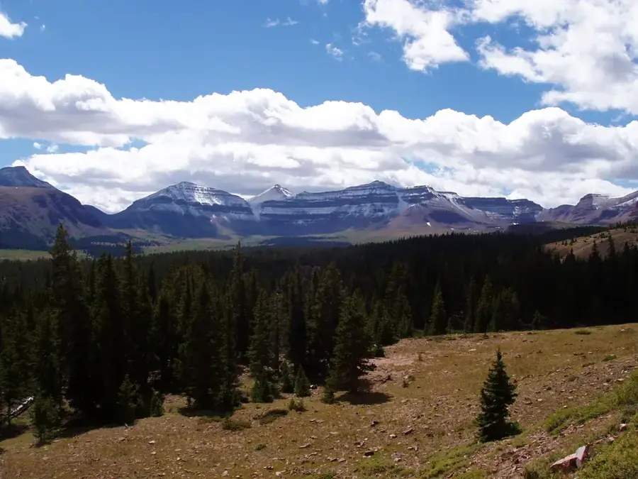
The Uinta Mountains are a unique mountain range in northeastern Utah and southern Wyoming. They are distinguished as the only major mountain range in the contiguous United States to run in an east-west direction. Geologically, the range is primarily composed of Precambrian sedimentary rocks uplifted during the Laramide orogeny about 70 to 50 million years ago. The highest point is Kings Peak, reaching 4,123 meters, which is the highest elevation in Utah. The Uinta Mountains were heavily glaciated during the last ice ages, leaving behind hundreds of alpine lakes and broad U-shaped valleys. The region is a critical watershed for the Bear, Provo, and Weber rivers. Due to its remoteness, the range has extensive wilderness areas like the High Uintas Wilderness, which is a sanctuary for elk, black bears, and mountain lions. Hikers and anglers prize the Uintas for their pristine nature and the abundant fishing opportunities in the high-elevation lakes.

Best time to visit & climate

The most pleasant time to visit is Jun–Aug.

JanFebMarAprMayJunJulAugSepOctNovDec
Avg °C-6-50410162119146-1-6
Rain mm232125313320232937322228

📋 Practical info

🧭
Getting there
The Uinta Mountains in northeastern Utah are best accessed via the Mirror Lake Highway (Highway 150) from Kamas or Evanston. This scenic high-mountain road leads directly into the heart of the range, providing access to numerous trailheads.
📅
Best season
Due to high elevations, the mountains are typically snow-free and fully accessible to hikers only from late June through September. In winter, the Mirror Lake Highway is closed to normal traffic and used primarily for snowmobiling and cross-country skiing.
⛰️
Terrain & paths
The range is unique for its east-west orientation and gives vast alpine tundras as well as hundreds of clear mountain lakes. Summits are often rocky and barren, while the lower elevations feature dense coniferous forests and wide meadows.
🎒
What to bring
Hiking boots with good ankle support are essential for the rocky paths and boulder fields found at higher elevations. Since weather can change quickly even in summer and thunderstorms are common, always carry warm and waterproof clothing.
🅿️
Parking
There are numerous designated parking areas at trailheads along the Mirror Lake Highway, often requiring a small recreation fee. On popular weekends, lots at Mirror Lake or the Highline Trailhead can fill up quickly, so early arrival is advised.
⚠️
Safety
At higher elevations, you are exposed to thunderstorms; retreat early if lightning is spotted or leave exposed ridges. The region is bear country, so proper food storage while camping is absolutely necessary for safety and wildlife protection.
⏱️
Time needed
Day hikes to lakes like Mirror Lake are popular, usually taking four to six hours of hiking time. To summit the highest peak, Kings Peak, you should plan for a backpacking trip of two to three days with an overnight stay in the wilderness.

Geography

Coordinates
40.70000, -110.00000

Facts

  • Kings Peak at 4,123 meters is the highest point in Utah.
  • The range is approximately 240 kilometers long.
  • It contains over 1,000 mountain lakes and ponds.
  • The Uintas are part of the Central Rocky Mountains system.
  • Rocks of the Uinta Mountain Group are over 700 million years old.
  • The Mirror Lake Highway is the most famous access route through the range.

Explore nearby

Notable places around

Route planner — Car & Motorhome

Where do you start? We build the route here, with stops and country notes along the way.

Vehicle
Only stops with (optional):

© OpenStreetMap contributors · OpenRouteService

Sights in the town Uinta Mountains (5)

Lucky Spring📍 landmark

A spring in the Mountains region, believed to bring good luck.

Bennion Spring📍 landmark

A spring in the Mountains region, named after the Bennion family.

Paradise Peak🌿 nature

A scenic peak in the Mountains region.

Pole Mountain🌿 nature

A mountain in the Mountains region, with a pole-like summit.

Goose Egg Peak🌿 nature

A peak in the Mountains region, shaped like a goose egg.

Sights nearby

Frequently asked questions

How difficult is hiking in the Uinta Mountains?
The terrain ranges from easy trails to demanding alpine routes for experienced hikers.
What is the best time of year to visit?
July through September is convenient as trails are typically snow-free and accessible.
Is parking available at trailheads?
Yes, most popular trailheads have designated parking areas, often requiring a fee.
Where can I find restrooms or dining facilities?
There is little infrastructure in remote mountain areas, so bring plenty of supplies.
What is the weather risk in the mountains?
Weather can change rapidly; afternoon thunderstorms are common even in summer.
Uinta Mountains: where is it located?
Uinta Mountains is located in United States.
Uinta Mountains: what is there to see?
Highlights include Lucky Spring, Bennion Spring, Paradise Peak.
Uinta Mountains: when is the best time to visit?
The most pleasant time to visit is Jun, Aug.
Uinta Mountains: why is it worth visiting?
The Uinta Mountains are a unique mountain range in northeastern Utah and southern Wyoming.
View on map → The Top 50 Attractions → OpenStreetMap →
North America
Explore with Plizio Discover more places in North America
More places in United States →

Nearby cities

Nature

More places