Plizio Visual Lab
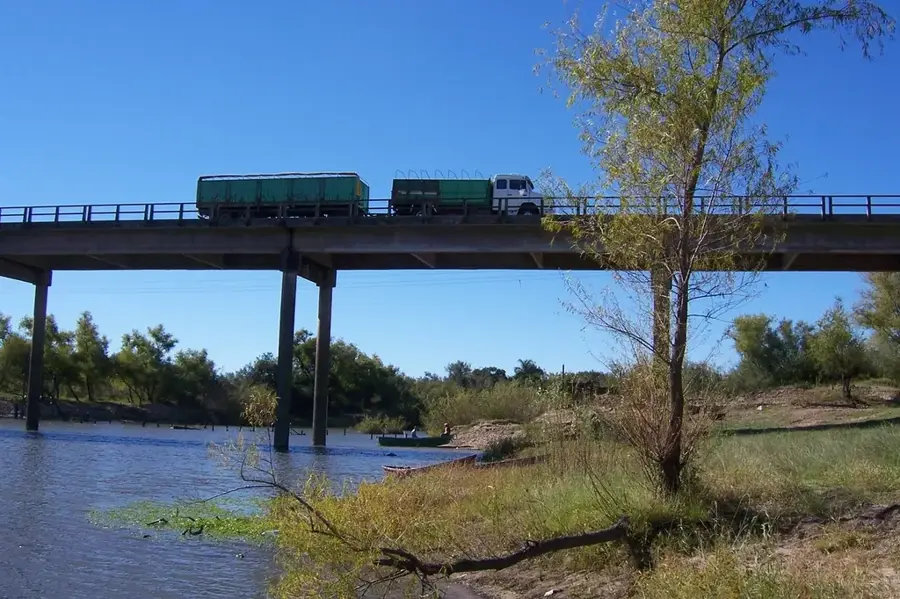
Tacuarembó River
Weather…
Water temperature…
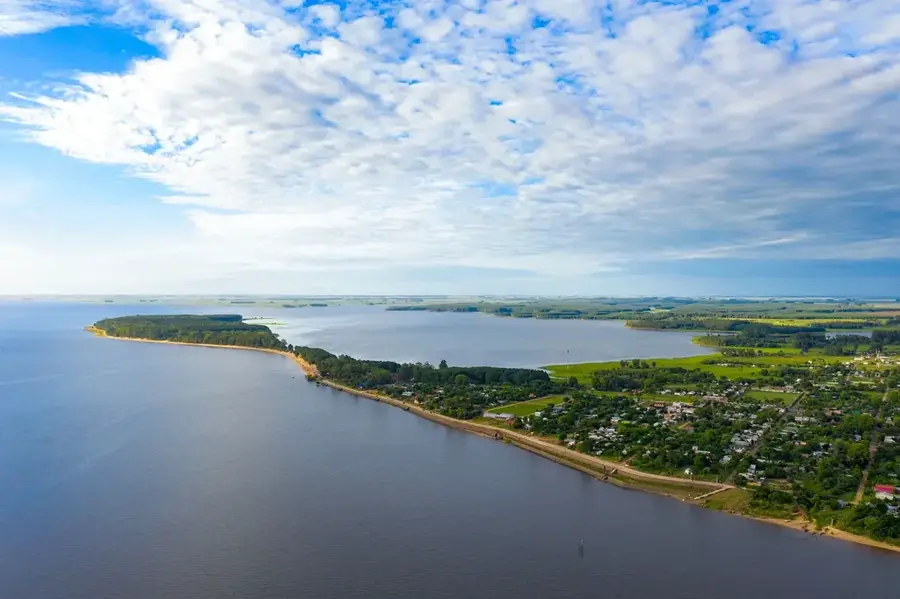
The Tacuarembó River is one of the longest rivers in Uruguay and another major tributary of the Río Negro. It originates in the Rivera Department, near the border with Brazil, and flows southwards through the Tacuarembó Department, which it traverses and gives its name to. The river has a length of about 260 kilometers and is known for its winding meanders and the scenic countryside it passes through, characterized by cattle ranches and eucalyptus plantations. The name 'Tacuarembó' is derived from the Guaraní word for 'reed sprouts', referring to the reeds that grow along its banks. The river is a vital water source for agriculture and local communities in the region. It is also a popular spot for fishing, particularly for the dorado, a prized freshwater game fish. Culturally, the river is deeply connected to the gaucho tradition of the Tacuarembó department, celebrated annually at the 'Patria Gaucha' festival on its banks. The river's ecosystem faces pressure from land-use changes and forestry, raising concerns about water quality and biodiversity conservation.
- Location: Uruguay
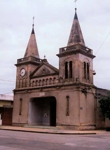
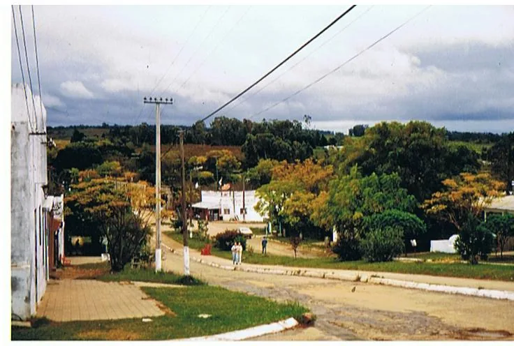
- Nearby: San Gregorio de Polanco (37 km)
Best time to visit & climate
The most pleasant time to visit is Mar, Nov, Dec.
| Jan | Feb | Mar | Apr | May | Jun | Jul | Aug | Sep | Oct | Nov | Dec | |
|---|---|---|---|---|---|---|---|---|---|---|---|---|
| Avg °C | 24 | 23 | 21 | 18 | 14 | 11 | 11 | 12 | 14 | 17 | 20 | 22 |
| Rain mm | 115 | 141 | 110 | 146 | 120 | 97 | 84 | 117 | 125 | 148 | 106 | 108 |
📋 Practical info
Geography
Facts
- The river has a length of approximately 260 kilometers.
- It is the main river of the Tacuarembó Department.
- Its basin covers approximately 15,700 square kilometers.
- It flows into the Río Negro near the town of San Gregorio de Polanco.
- The name means 'reed sprouts' in the Guaraní language.
- The 'Fiesta de la Patria Gaucha' festival is held annually on its banks.
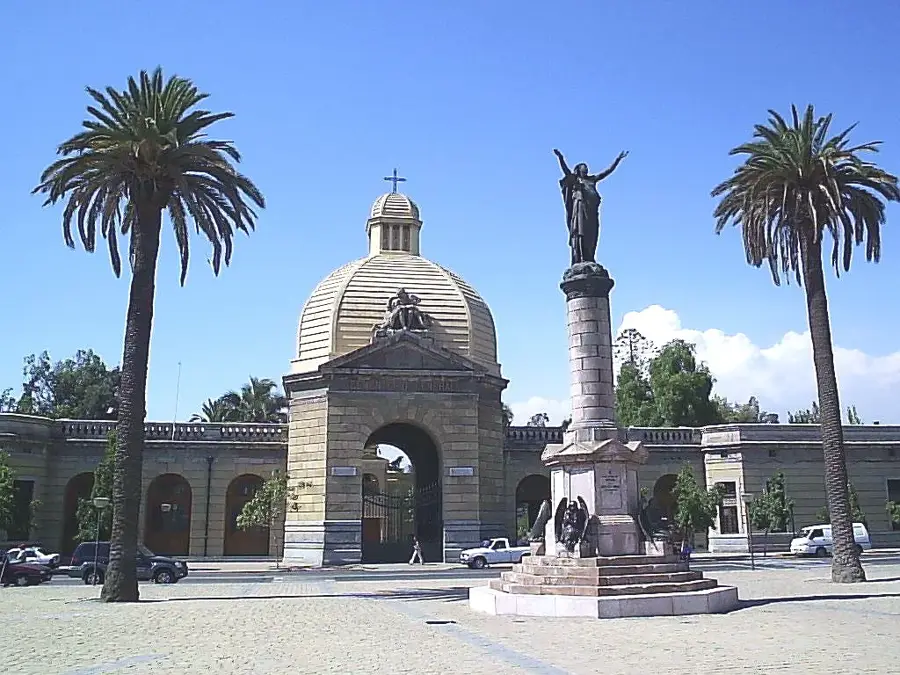
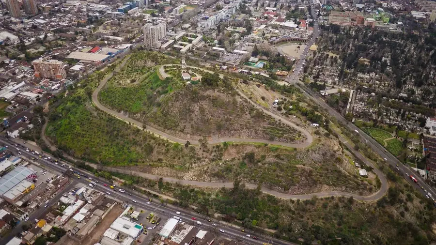
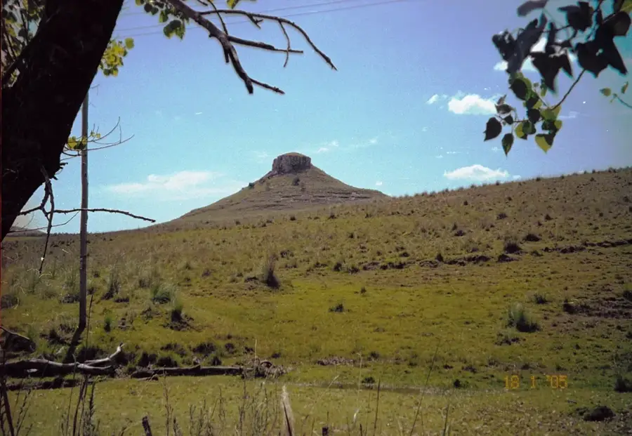
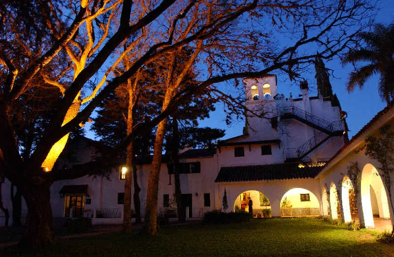
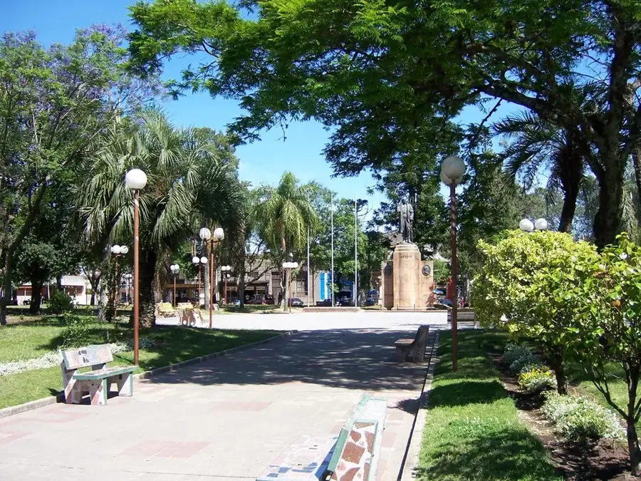
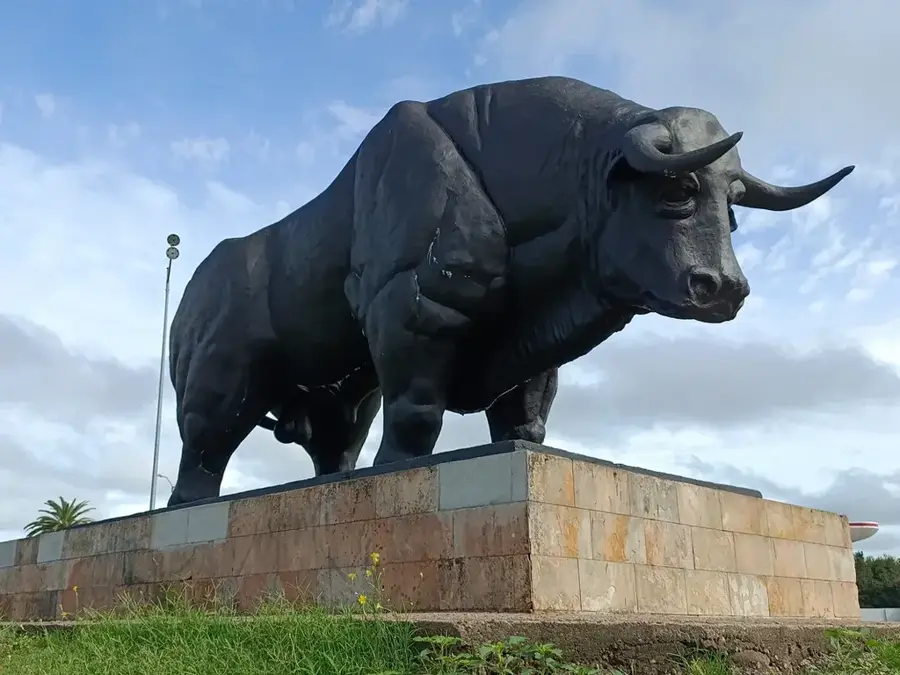
Explore nearby
Notable places around
Route planner — Car & Motorhome
Where do you start? We build the route here, with stops and country notes along the way.
© OpenStreetMap contributors · OpenRouteService
Sights nearby
Frequently asked questions
Is the Río Tacuarembó a popular destination for nature photographers?
What is the difficulty level of the river trails?
Is there a fee to access the river?
Are there protected areas along the river?
What is the best way to get to the river?
Tacuarembó River: where is it located?
Tacuarembó River: when is the best time to visit?
Tacuarembó River: why is it worth visiting?

Nearby cities
More places