Plizio Visual Lab
Sierra de la Aurora
Weather…
Water temperature…
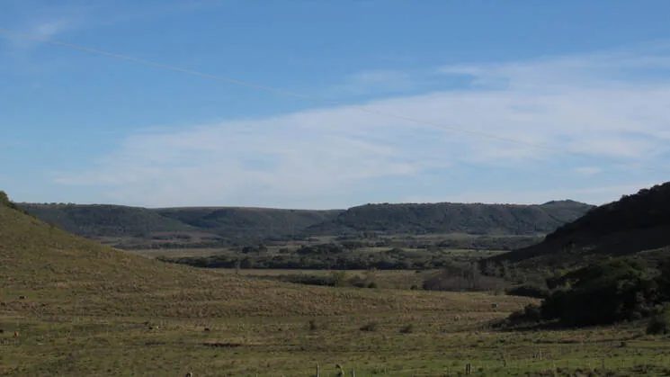
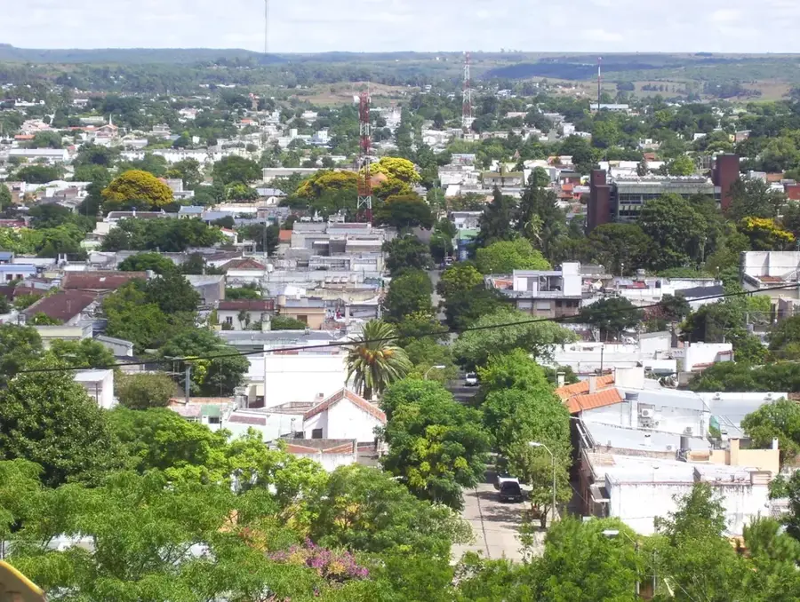
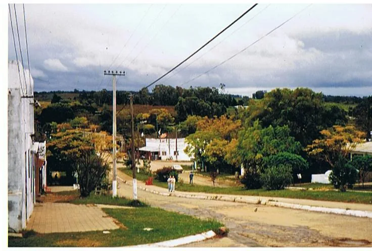
The Sierra de la Aurora is a small but distinct hill range in northern Uruguay, close to the border with Brazil. It is located primarily within the Rivera Department. While not among the highest or most extensive ranges in the country, it holds local importance and shapes the region's relief. Its peaks reach altitudes of around 200 to 250 meters. The Sierra is part of the larger Cuchilla de Santa Ana and is geologically linked to the Cuchilla de Haedo, meaning it is predominantly composed of basaltic rock. These rocks originate from volcanic activity during the Cretaceous period. The landscape is characterized by rolling hills covered in natural grassland, well-suited for the extensive cattle ranching common in the region. The name, 'Range of the Dawn', has a poetic nature whose origin is not clearly documented, but may describe the way the first light of day illuminates the hills. The area is rural and sparsely populated, with small farming estates (estancias) dotting the landscape. The Sierra de la Aurora is an example of the typical hilly scenery of northern Uruguay.
- Location: Uruguay
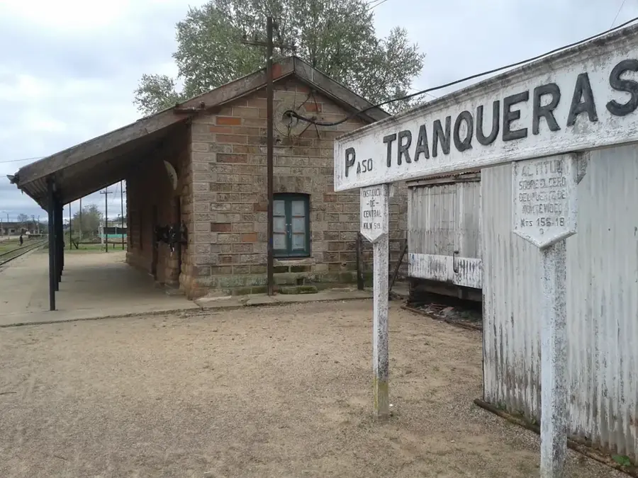
- Nearby: Minas de Corrales (10 km)
Best time to visit & climate
The most pleasant time to visit is Mar, Nov, Dec.
| Jan | Feb | Mar | Apr | May | Jun | Jul | Aug | Sep | Oct | Nov | Dec | |
|---|---|---|---|---|---|---|---|---|---|---|---|---|
| Avg °C | 25 | 24 | 22 | 18 | 14 | 12 | 11 | 13 | 14 | 17 | 20 | 23 |
| Rain mm | 127 | 141 | 118 | 161 | 136 | 92 | 92 | 112 | 135 | 181 | 138 | 131 |
📋 Practical info
Geography
Facts
- Located in the Rivera Department, near the Brazilian border.
- Peaks reach altitudes of 200-250 meters.
- Part of the larger Cuchilla de Santa Ana range.
- Composed predominantly of basaltic rock.
- The landscape is used for extensive cattle ranching.
- The name 'Range of the Dawn' is of poetic origin.
Explore nearby
Notable places around
Route planner — Car & Motorhome
Where do you start? We build the route here, with stops and country notes along the way.
© OpenStreetMap contributors · OpenRouteService
Sights nearby
Frequently asked questions
How difficult is hiking in Sierra de la Aurora?
When is the best time to visit Sierra de la Aurora?
Is there parking nearby?
Are there sanitary facilities?
How risky is the weather there?
Sierra de la Aurora: where is it located?
Sierra de la Aurora: when is the best time to visit?
Sierra de la Aurora: why is it worth visiting?

Nearby cities
Nature
More places