Plizio Visual Lab
Dnipro River
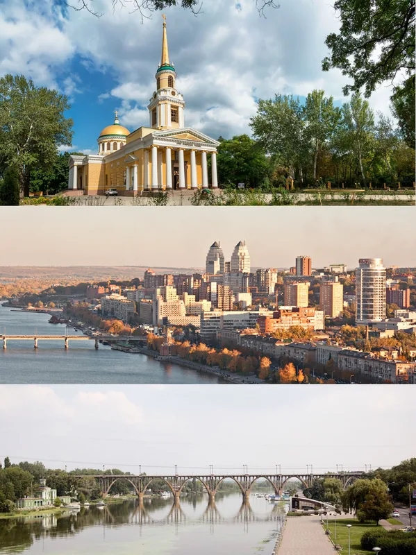
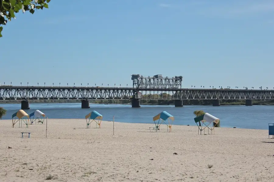
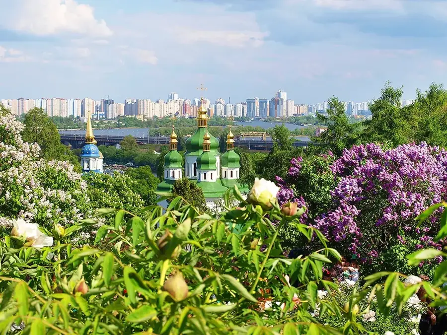
The Dnipro is the most significant river in Ukraine and the fourth-longest river in Europe. It originates in the Valdai Hills of Russia, flows through Belarus and Ukraine, and eventually empties into the Black Sea after a course of 2,201 kilometers. For Ukraine, the river is a vital artery that bisects the country from north to south, providing water for millions of people and various industries. Along its course, there are six large reservoirs regulated by massive hydroelectric power stations, such as DniproHES, which supply a significant portion of the nation's energy. Historically, the Dnipro was part of the ancient trade route 'from the Varangians to the Greeks' and served as the cradle of Kyivan Rus. The riverbanks feature diverse landscapes, from the forested hills near Kyiv to the vast steppes in the south. Despite massive anthropogenic changes caused by dams, the river still hosts a diverse fish population and serves as a major migration path for birds. Today, protecting water quality from industrial pollution is a primary ecological focus.
Explore on the map
How well do you know Ukraine?
Find cities, landscapes and regions in 10 varied challenges on the interactive map.
Your journey, your memory
A postcard from Dnipro River
Turn your own photo into a personal postcard with a local stamp. Free and no sign-up required.
Create a postcard- Location: Ukraine
- Highlights: Lyadsky Gate · Conservatory · Monument of Independence
- Nearby: Sofiivska Borschahivka (12 km)
Best time to visit & climate
The most pleasant time to visit is Jun–Aug.
| Jan | Feb | Mar | Apr | May | Jun | Jul | Aug | Sep | Oct | Nov | Dec | |
|---|---|---|---|---|---|---|---|---|---|---|---|---|
| Avg °C | -6 | -5 | 1 | 9 | 16 | 19 | 22 | 21 | 15 | 8 | 2 | -4 |
| Rain mm | 43 | 42 | 42 | 41 | 67 | 73 | 65 | 50 | 48 | 50 | 45 | 50 |
📋 Practical info
Geography
Facts
- Fourth longest river in Europe with a total length of 2,201 km.
- Flows through three countries: Russia, Belarus, and Ukraine.
- Features six large reservoirs for power generation and irrigation.
- Historical part of the trade route 'from the Varangians to the Greeks'.
- Its drainage basin covers approximately 504,000 square kilometers.
- Primary source of drinking water for over 70% of Ukraine.
Explore nearby
Notable places around
Route planner — Car & Motorhome
Where do you start? We build the route here, with stops and country notes along the way.
© OpenStreetMap contributors · OpenRouteService
Sights in the town Dnipro River (7)
Vakulenko
Art gallery in Kyiv featuring contemporary art and works by local artists.
October Palace🏰 castle
House of culture in Kyiv, built in the 19th century, now used for concerts and exhibitions.
Artarea
Arts centre in Kyiv offering studios, exhibition spaces and workshops for artists.
Sights nearby
Frequently asked questions
How long is the Dnipro in Ukraine?
Can you swim in the Dnipro?
What is the economic importance of the river?
Are there islands in the Dnipro?
What is the Dnipro Reservoir?
Dnipro River: where is it located?
Dnipro River: what is there to see?
Dnipro River: when is the best time to visit?
Dnipro River: why is it worth visiting?

Nearby cities