Plizio Visual Lab
Arua
ℹ️Practical info — Arua
▾
🌤 Weather — 5 days
📍 Nearby
Sights nearby
💡 Tips
- Boda-bodas (motorcycle taxis) are the fastest way to get around; always negotiate the fare before setting off and ask for a helmet.
- The main market is extremely busy; keep an eye on your valuables and be prepared to haggle extensively.
- A few words in Lugbara, such as 'Mi ngoni?' (How are you?), will instantly break the ice with locals.
- Always carry your passport or ID, as Arua is located very close to the borders with the DRC and South Sudan.
🍽 Food
No, not a watch, but an omelet rolled inside a chapati, sold on every street corner as a cheap and filling snack.
Delicious roasted meat skewers, often offered in the evening at busy intersections and near bars.
Mashed green plantains, traditionally served with a savory peanut sauce, a true local comfort food.
🛍 Shopping · 🧘 Quiet spots
A huge, bustling market where you can find everything from fresh beans to colorful kitenge fabrics.
Look out for beautifully woven baskets, typical of the West Nile region, sold by small vendors.
A short climb rewards you with a quieter atmosphere and a great panoramic view over the city.
The large old trees around the church provide a cool and quiet escape from the urban chaos.
Water temperature…
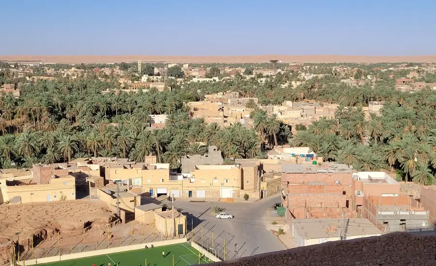
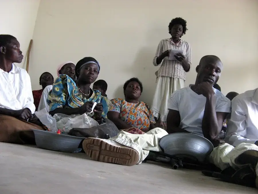
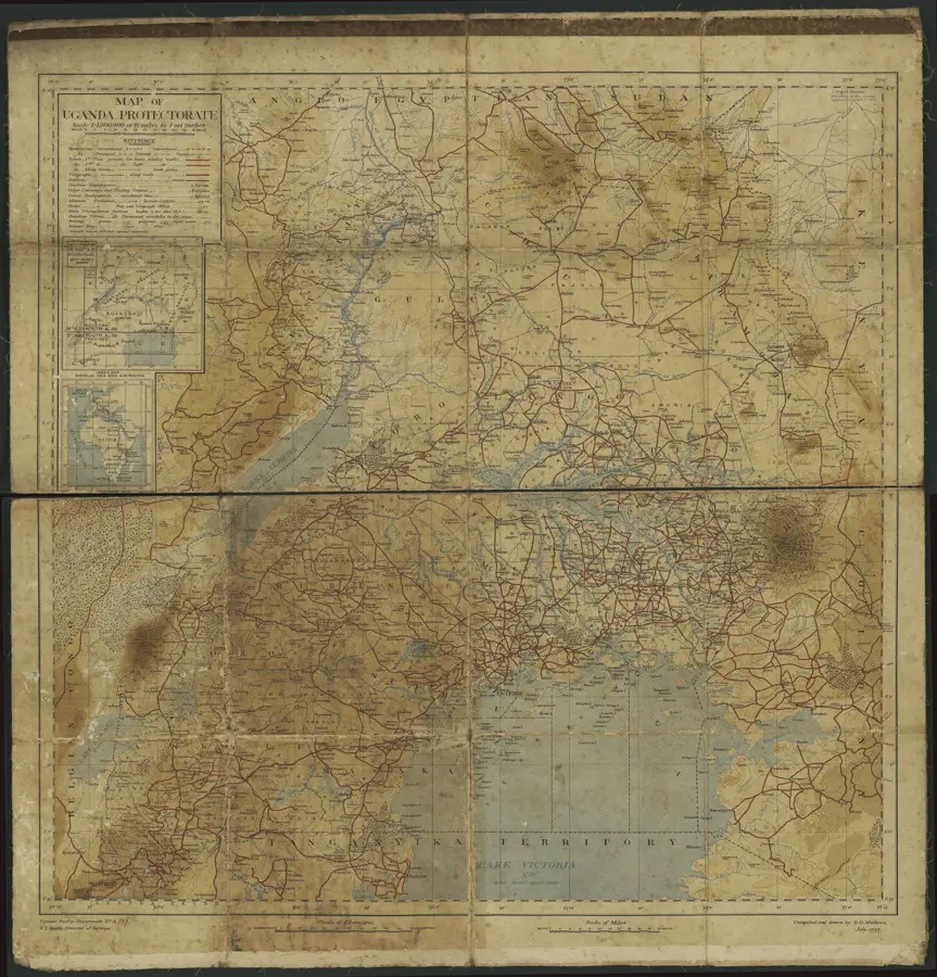
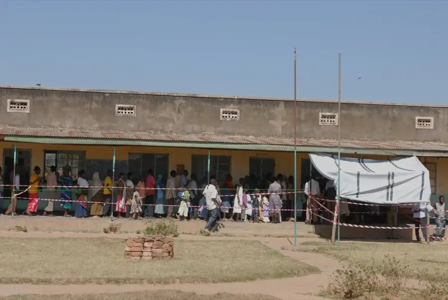
Arua is located in the extreme northwestern corner of Uganda within the West Nile region, serving as a critical commercial hub at the borders of the Democratic Republic of the Congo and South Sudan. Due to its strategic positioning, the city has evolved into a major logistical center for cross-border trade and international humanitarian aid operations. Geographically, Arua sits at an elevation of approximately 1,310 meters, which provides a relatively mild climate compared to the hotter surrounding lowlands. The population is ethnically diverse, with the Lugbara people being the predominant group. Arua is well-known for its tobacco industry and the cultivation of cotton and cereal crops in the fertile outlying areas. The city features a prominent cathedral and serves as the seat of the Diocese of Arua. The ongoing upgrades to Arua Airport to international standards have further cemented its role as a strategic gateway to Central Africa.
- Location: Uganda
- Top sights: MADI LUGBARA MUSUEM · Arua Hill · Emmanuel Cathedral
- Nearby: Koboko (38 km)
- Population: ~72.400 (2024)
Best time to visit & climate
The most pleasant time to visit is Jan, Feb, Dec.
| Jan | Feb | Mar | Apr | May | Jun | Jul | Aug | Sep | Oct | Nov | Dec | |
|---|---|---|---|---|---|---|---|---|---|---|---|---|
| Avg °C | 28 | 30 | 29 | 27 | 25 | 25 | 24 | 24 | 24 | 24 | 25 | 26 |
| Rain mm | 13 | 18 | 74 | 126 | 131 | 109 | 118 | 157 | 165 | 172 | 114 | 63 |
Geography
Facts
- Primary trading post for the DRC and South Sudan borders.
- Ecclesiastical seat of the Roman Catholic Diocese of Arua.
- Major hub for the tobacco processing industry in Uganda.
- Elevation of approximately 1,310 meters above sea level.
- Cultural heartland of the Lugbara ethnic group.
- Features a busy regional airport serving Central Africa.
Explore nearby
Notable places around
Route planner — Car & Motorhome
Where do you start? We build the route here, with stops and country notes along the way.
© OpenStreetMap contributors · OpenRouteService
Sights in the town Arua (3)
Frequently asked questions
What makes Arua special?
How long to stay?
How to reach Arua?
Are there any sights?
When to visit?
Arua: where is it located?
Arua: what is there to see?
Arua: when is the best time to visit?
Arua: why is it worth visiting?

Nearby cities