Plizio Visual Lab
Sironko
ℹ️Practical info — Sironko
▾
🌤 Weather — 5 days
📍 Nearby
Sights nearby
💡 Tips
- Sironko is the gateway to Mount Elgon; use the town as a quieter base instead of the busier Mbale.
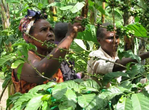
- Visit a local coffee farm to experience the seed-to-cup process of Arabica coffee production.
- Be mindful of road conditions during the rainy season, as the hilly terrain can be prone to landslides.
- Take a matatu (shared taxi) from Mbale; it's only a 30-minute ride through scenic landscapes.
- Try the local spring water, which flows directly from the slopes of Mount Elgon and is famously pure.
🍽 Food
A regional specialty made from smoked bamboo shoots, often served in a creamy groundnut sauce.
Sironko is famous for high-altitude coffee; drink it freshly brewed at small cafes along the main road.
Freshly harvested corn roasted over charcoal at street corners, the first-rate snack for travelers.
🛍 Shopping · 🧘 Quiet spots
The best place for fresh tomatoes, onions, and seasonal fruits straight from the mountain slopes.
Buy roasted beans directly from farmer cooperatives for a high-quality local souvenir.
A quiet spot for nature walks and bird watching away from the major tourist crowds.
Walk the lower sections of this hiking path for spectacular views without the need for a full summit trek.
Water temperature…
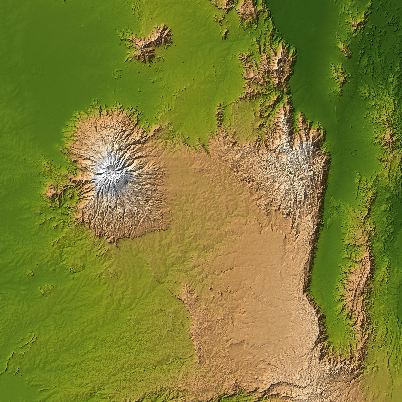
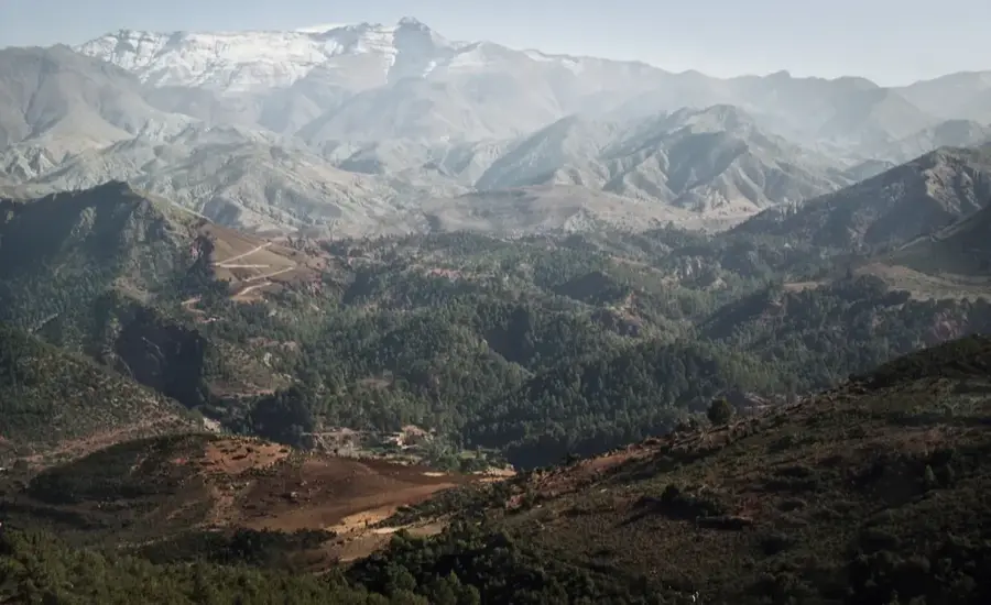
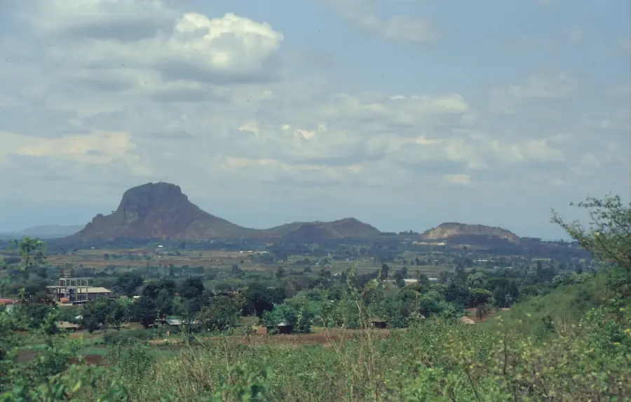
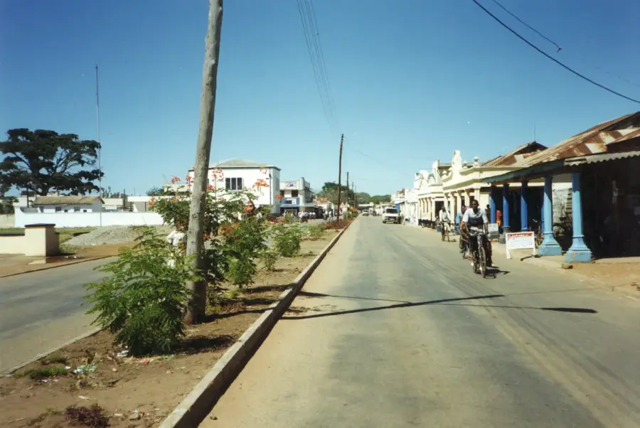
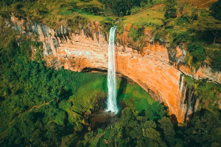
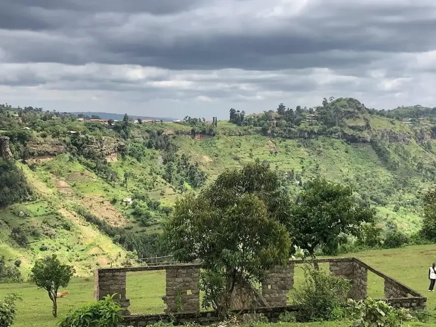
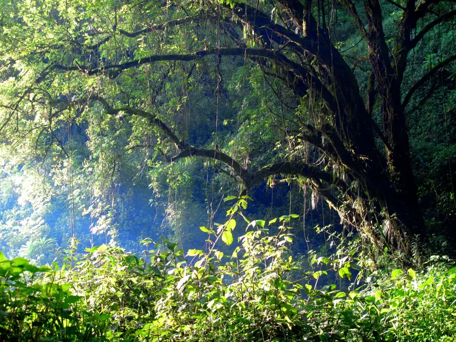
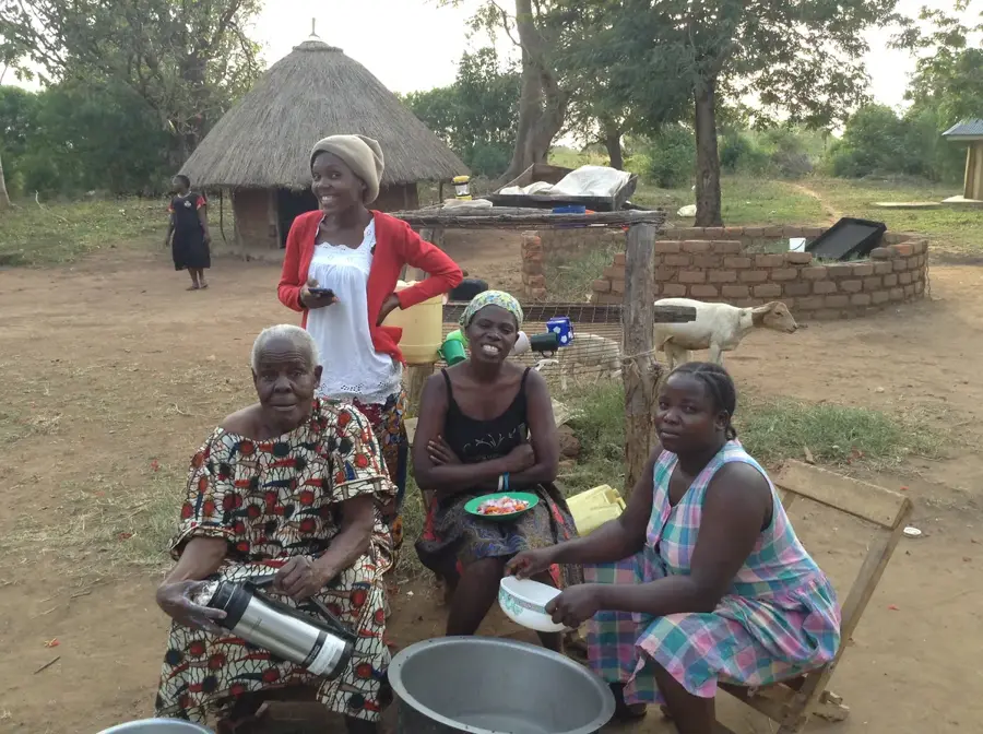
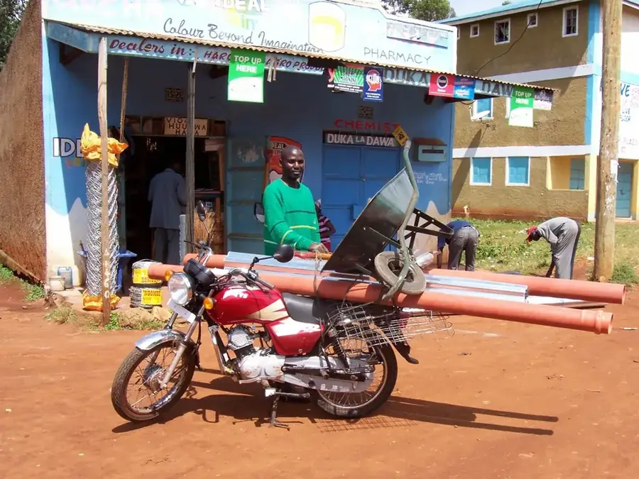
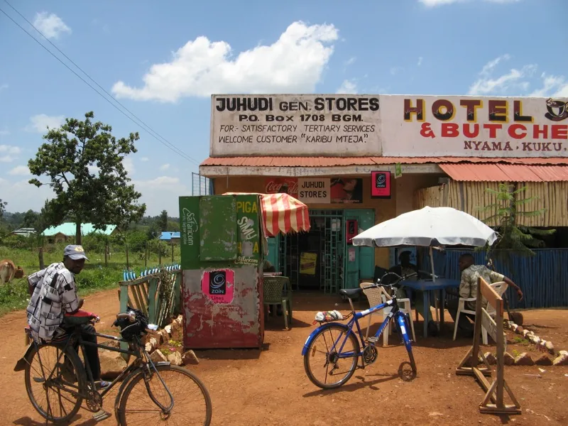
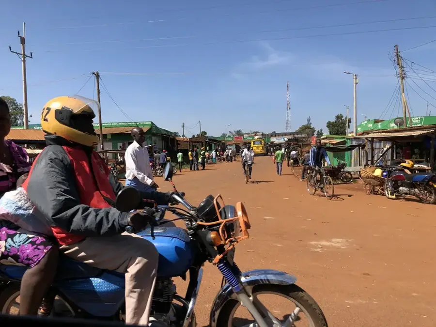
Sironko is a town in Eastern Uganda, serving as the administrative center of Sironko District. It lies at the foothills of Mount Elgon, approximately 15 kilometers west of the Kenyan border. The town's economy is primarily agricultural, with coffee, bananas, and maize as staple crops. Sironko hosts a bustling market that attracts traders from surrounding villages. The town has experienced population growth due to rural-urban migration and improved road connections. Educational and health facilities include several primary schools, a secondary school, and a hospital. The nearby Mount Elgon National Park gives biodiversity hotspots, including the endangered Elgon teak. Recent infrastructure improvements include a paved road linking Sironko to Mbale, the regional hub. The population is predominantly Bagisu, known for their traditional circumcision ceremonies and animated cultural festivals.
- Location: Uganda
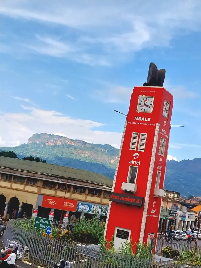
- Nearby: Mbale (16 km)
- Population: ~19.300 (2024)
Best time to visit & climate
The most pleasant time to visit is Jan–Mar.
| Jan | Feb | Mar | Apr | May | Jun | Jul | Aug | Sep | Oct | Nov | Dec | |
|---|---|---|---|---|---|---|---|---|---|---|---|---|
| Avg °C | 18 | 19 | 20 | 19 | 18 | 17 | 17 | 17 | 18 | 18 | 18 | 18 |
| Rain mm | 45 | 55 | 114 | 212 | 224 | 120 | 118 | 167 | 184 | 195 | 152 | 82 |
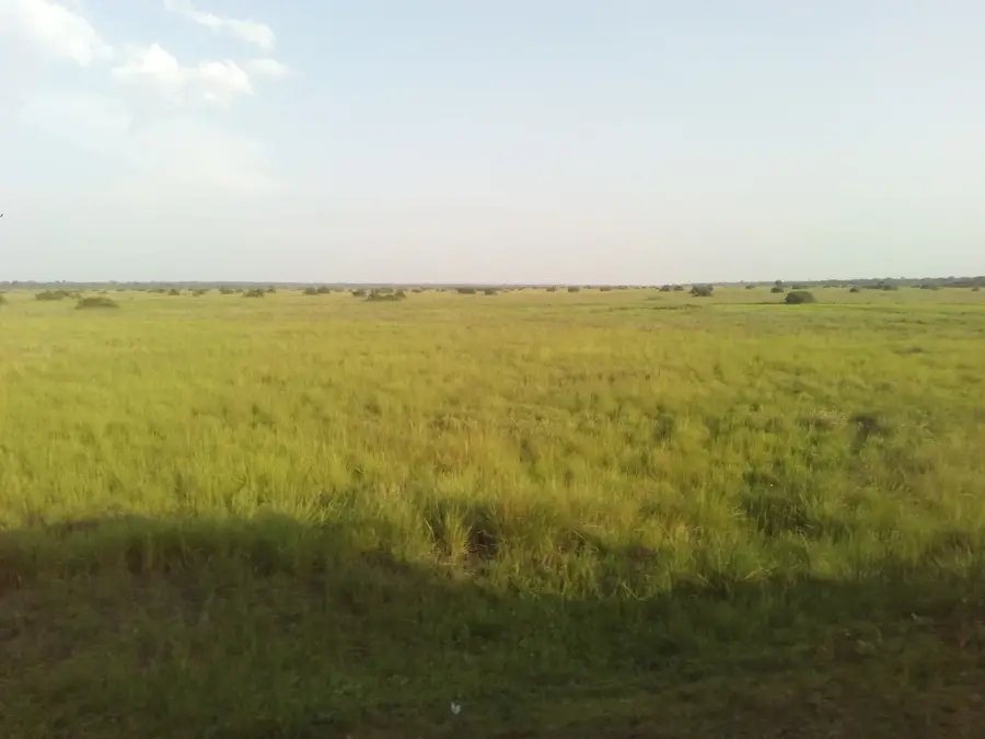
Geography
Facts
- Sironko's population was 18,800 in the 2014 census.
- The town is located at an elevation of 1,150 meters above sea level.
- Sironko District covers an area of 1,091 square kilometers.
- The average annual rainfall is 1,400 mm.
- Coffee is the main cash crop, with annual production of 3,000 tons.
- The nearest major city is Mbale, 25 km south.
Explore nearby
Notable places around
Route planner — Car & Motorhome
Where do you start? We build the route here, with stops and country notes along the way.
© OpenStreetMap contributors · OpenRouteService
Sights in the town Sironko (1)
Frequently asked questions
How many days are ideal for Sironko?
When is the best time to visit Sironko?
What is the best way to reach Sironko?
Are there any culinary recommendations for Sironko?
Is Sironko suitable for families?
Sironko: where is it located?
Sironko: when is the best time to visit?
Sironko: why is it worth visiting?

Nearby cities
More places