Plizio Visual Lab
Pontic Mountains
Weather…
Water temperature…
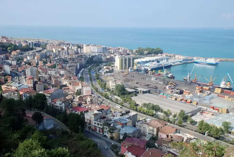
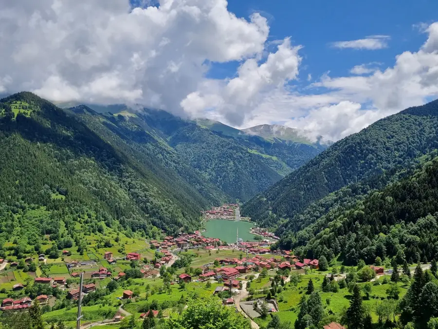
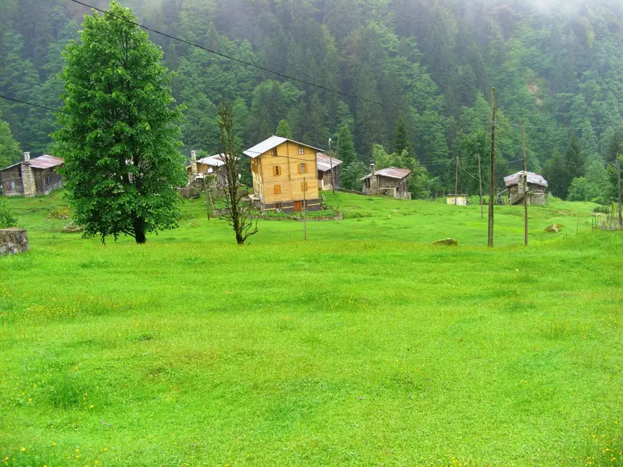
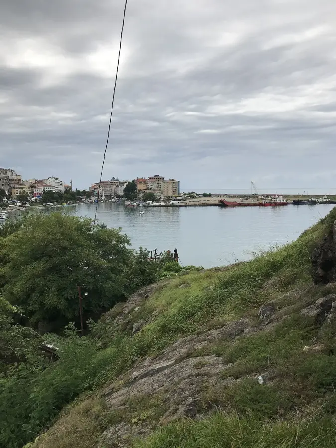
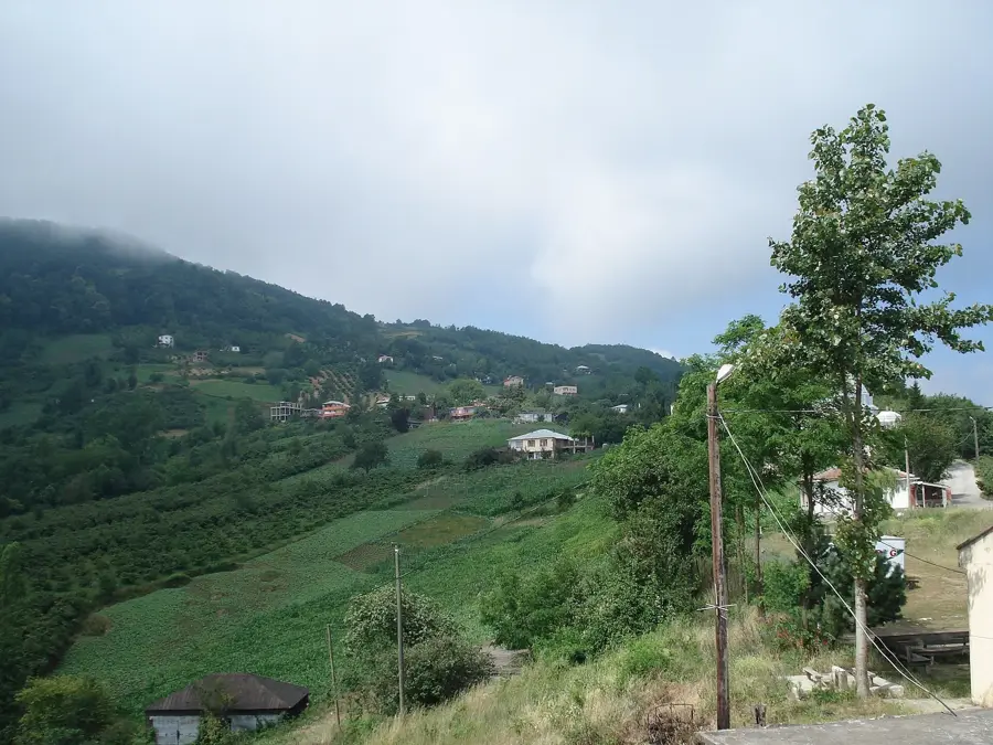
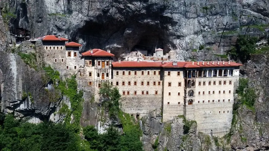
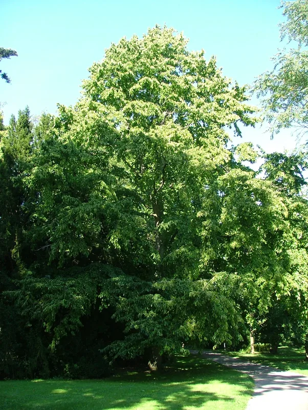
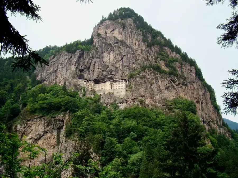
The Pontic Mountains (Kuzey Anadolu Dağları) stretch for approximately 1,000 kilometers along the Black Sea coast of northern Turkey. This range acts as a climatic wall, trapping moist air from the sea and creating a lush, temperate rainforest environment on the northern slopes, which receive the highest rainfall in the country. Geologically, the range belongs to the Alpide belt and consists of several parallel ridges that rise significantly toward the east, reaching a maximum elevation of 3,937 meters at Mount Kaçkar. The mountains are famous for their dense forests of beech and spruce, as well as being the heart of Turkey's tea and hazelnut production. Historically, the rugged terrain provided refuge for various ethnic groups and is home to the memorable Sumela Monastery, a Greek Orthodox complex carved into the Melá Mountain cliff. The region is also defined by the 'yayla' tradition, where locals move to high-altitude mountain pastures during the summer months to escape the humidity and graze livestock.
- Location: Turkey
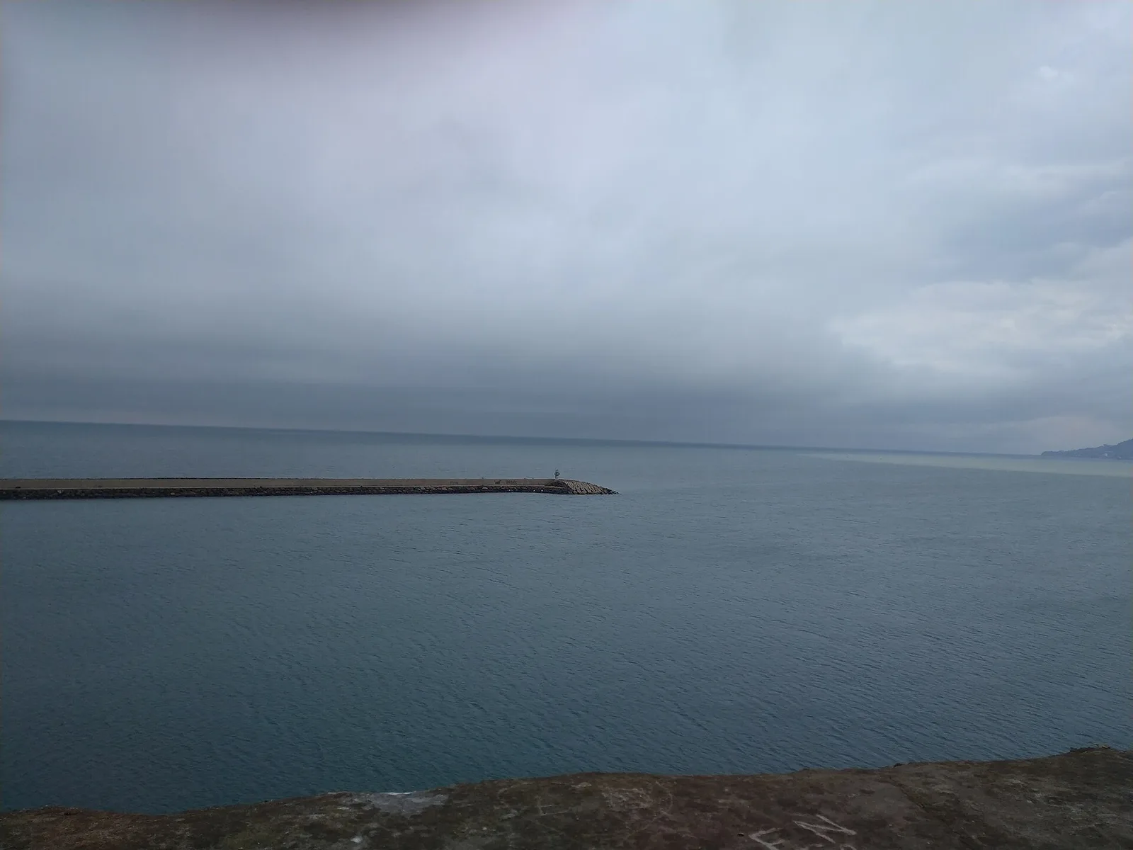
- Nearby: Körliman (47 km)
Best time to visit & climate
The most pleasant time to visit is Jun–Aug.
| Jan | Feb | Mar | Apr | May | Jun | Jul | Aug | Sep | Oct | Nov | Dec | |
|---|---|---|---|---|---|---|---|---|---|---|---|---|
| Avg °C | -7 | -5 | -1 | 4 | 9 | 13 | 16 | 17 | 13 | 8 | 1 | -4 |
| Rain mm | 85 | 55 | 70 | 59 | 64 | 56 | 42 | 37 | 74 | 101 | 97 | 77 |
📋 Practical info
Geography
Facts
- The range spans approximately 1,000 kilometers in northern Anatolia.
- Mount Kaçkar is the highest peak, reaching 3,937 meters.
- Home to the Colchian rainforests, a unique temperate climate zone.
- The Sumela Monastery is situated about 300 meters above the valley floor.
- Produces the vast majority of the world's hazelnut supply.
- Features numerous glacial lakes and rivers like the Çoruh.
Explore nearby
Notable places around
Route planner — Car & Motorhome
Where do you start? We build the route here, with stops and country notes along the way.
© OpenStreetMap contributors · OpenRouteService
Sights nearby
Frequently asked questions
How is the climate in the Pontic Mountains?
What is typical for the vegetation?
Is it a popular hiking area?
How to get to the mountain villages?
When is the best time to visit?
Pontic Mountains: where is it located?
Pontic Mountains: when is the best time to visit?
Pontic Mountains: why is it worth visiting?

Nearby cities