Plizio Visual Lab
Anatolian Plateau
Weather…
Water temperature…
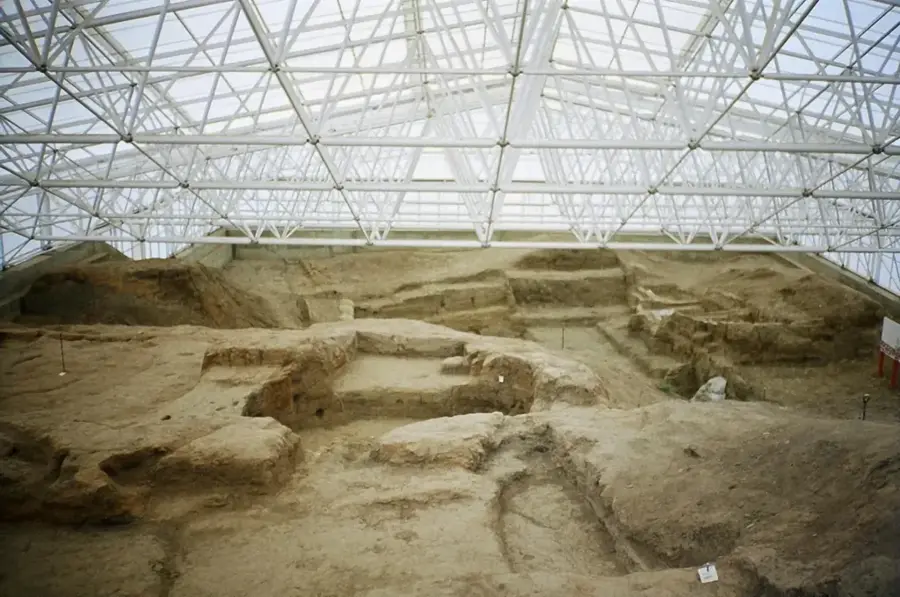
The Anatolian Plateau forms the geographic heart of Turkey, spanning most of Central Anatolia at an average elevation of approximately 1,000 meters. Bordered by the Pontic Mountains to the north and the Taurus Mountains to the south, the plateau is characterized by vast plains, isolated volcanic cones, and salt lakes. The climate is distinctly continental, with hot, dry summers and cold, snowy winters, restricting vegetation to steppe and sparse woodlands. Historically, the plateau was the cradle of numerous civilizations, including the Hittites, Phrygians, and Seljuks, who established their empires here. The region is a vital agricultural center, often referred to as the 'breadbasket of Turkey,' particularly for wheat and barley cultivation. Geologically, the plateau is a tectonically active area with significant fault zones that have shaped the landscape over millions of years. Today, it hosts the nation's capital, Ankara, and serves as a major hub for transportation and trade.
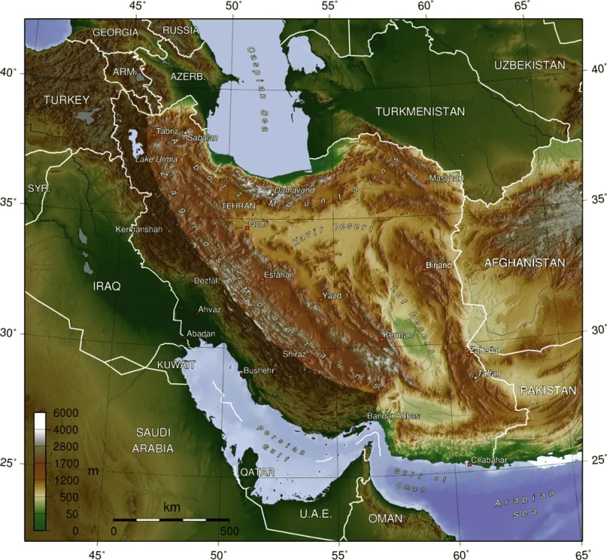
- Location: Turkey
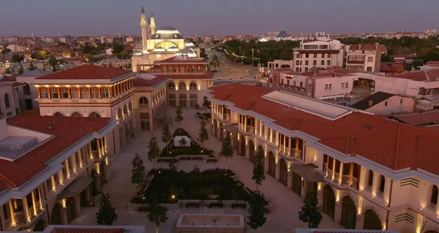
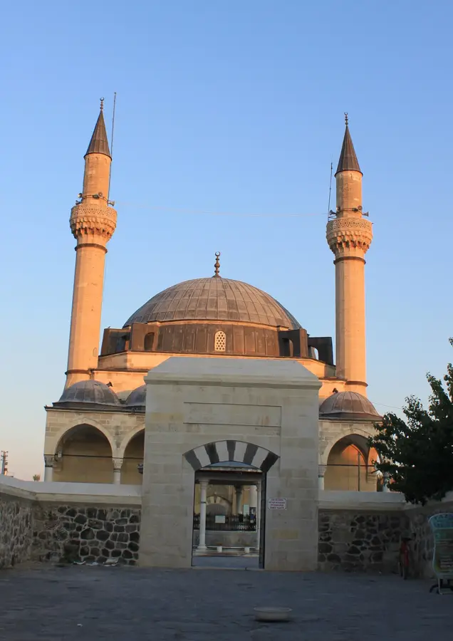
- Top sights: Central Anatolia region · Kommata
Best time to visit & climate
The most pleasant time to visit is Jun, Jul, Sep.
| Jan | Feb | Mar | Apr | May | Jun | Jul | Aug | Sep | Oct | Nov | Dec | |
|---|---|---|---|---|---|---|---|---|---|---|---|---|
| Avg °C | 0 | 2 | 6 | 11 | 16 | 21 | 24 | 24 | 20 | 14 | 6 | 1 |
| Rain mm | 43 | 30 | 35 | 34 | 43 | 36 | 8 | 9 | 17 | 30 | 32 | 43 |
📋 Practical info
Geography
Facts
- Average elevation is about 1,000 meters above sea level.
- Known as the primary wheat producer of Turkey.
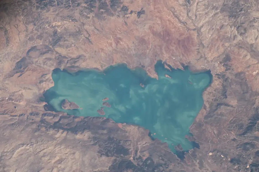
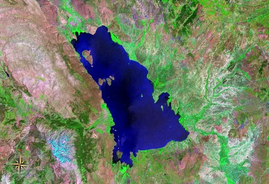
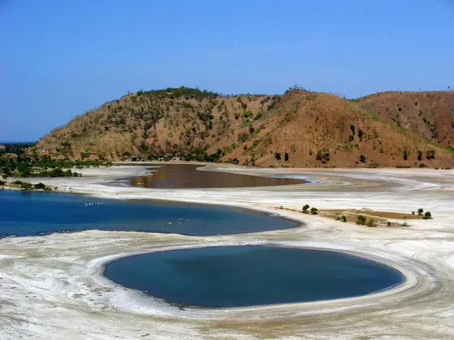
- Contains Lake Tuz, one of the world's largest salt lakes.
- Former heartland of the ancient Hittite Empire.
- Bounded by the North Anatolian and Taurus fault lines.
- Features a semi-arid climate with high thermal range.
Explore nearby
Notable places around
Route planner — Car & Motorhome
Where do you start? We build the route here, with stops and country notes along the way.
© OpenStreetMap contributors · OpenRouteService
Sights in the town Anatolian Plateau (2)
Sights nearby
Frequently asked questions
What exactly is the Anatolian Plateau?
How much time should I plan for a trip?
What local specialty must I try?
Can the region be visited all year round?
What is near the plateau?
Anatolian Plateau: where is it located?
Anatolian Plateau: what is there to see?
Anatolian Plateau: when is the best time to visit?
Anatolian Plateau: why is it worth visiting?