Plizio Visual Lab
Erzurum-Kars Plateau
Weather…
Water temperature…
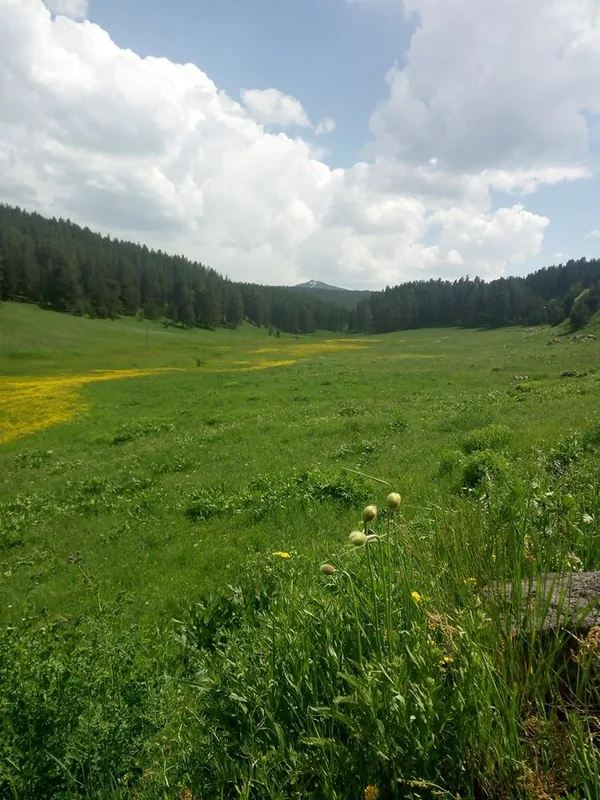
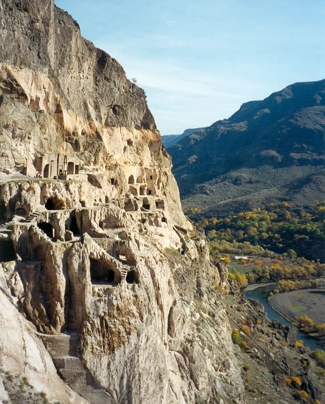
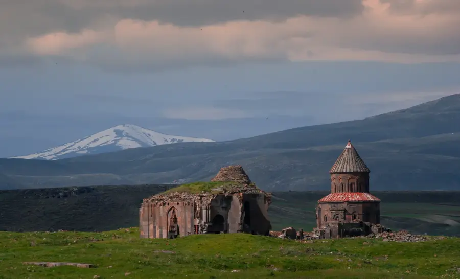
The Erzurum-Kars Plateau is situated in northeastern Anatolia, forming one of the highest and coldest highland regions in Turkey. Geographically, it consists of expansive volcanic plains at an average elevation exceeding 2,000 meters, rimmed by high mountain ranges. Historically, the plateau was a strategic junction on the Silk Road and a frequent battlefield between the Ottoman and Russian Empires. The city of Kars, known for its distinctive Russian-style architecture, and the ruins of Ani, the 'City of 1001 Churches,' reflect its diverse cultural history. The climate is intensely continental, featuring prolonged, snowy winters that have helped develop the region into a major winter sports hub at Palandöken. The local economy is traditionally rooted in livestock farming and dairy production, with Kars cheese being a prominent national specialty.
- Location: Turkey
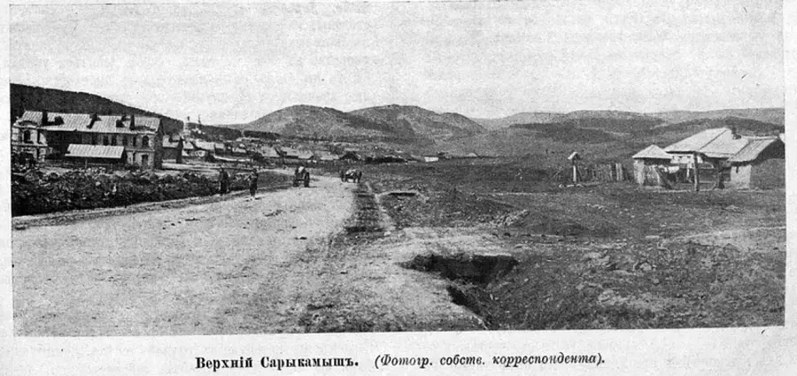
- Nearby: Sarıkamış (48 km)
Best time to visit & climate
The most pleasant time to visit is Jul–Sep.
| Jan | Feb | Mar | Apr | May | Jun | Jul | Aug | Sep | Oct | Nov | Dec | |
|---|---|---|---|---|---|---|---|---|---|---|---|---|
| Avg °C | -9 | -7 | -1 | 4 | 10 | 14 | 18 | 18 | 14 | 8 | 0 | -6 |
| Rain mm | 35 | 27 | 38 | 61 | 79 | 68 | 53 | 42 | 33 | 53 | 34 | 35 |
📋 Practical info
Geography
Facts
- The average elevation of the plateau ranges between 1,800 and 2,000 meters.
- Erzurum is among the coldest cities in Turkey, with record temperatures dropping below -35°C.
- The UNESCO site of Ani served as the capital of the Armenian Kingdom during the 10th and 11th centuries.
- Palandöken ski resort features one of the longest continuous ski slopes in Europe at 12 km.
- The region is famous for 'Kars Gravyer,' a Gruyère-style cheese produced since the late 19th century.
- Kars Castle was originally constructed in 1153 by the Saltukid Seljuks.
Explore nearby
Notable places around
Route planner — Car & Motorhome
Where do you start? We build the route here, with stops and country notes along the way.
© OpenStreetMap contributors · OpenRouteService
Sights in the town Erzurum-Kars Plateau (1)
Sights nearby
Frequently asked questions
What is the Erzurum-Kars plateau known for?
Can I ski there?
What historical site is nearby?
How cold is it in winter?
When should one visit the plateau?
Erzurum-Kars Plateau: where is it located?
Erzurum-Kars Plateau: when is the best time to visit?
Erzurum-Kars Plateau: why is it worth visiting?

Nearby cities
History & landmarks
Nature
More places