Plizio Visual Lab
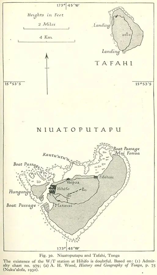
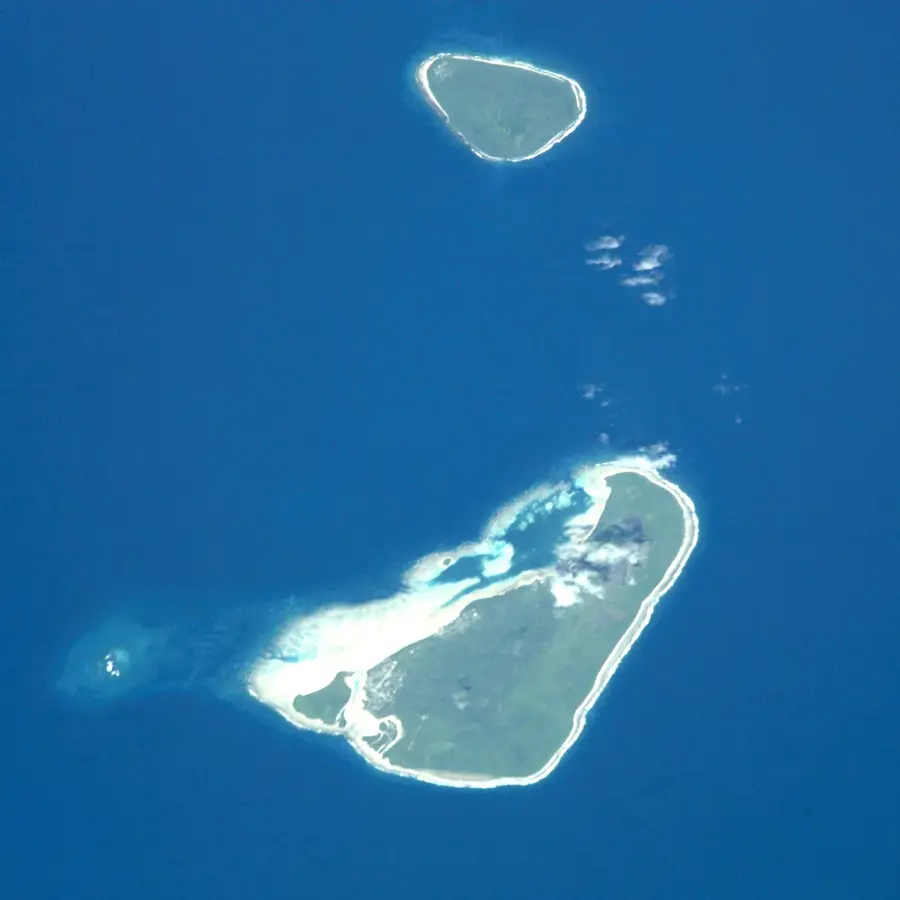
Niuatoputapu Island

Weather…
Water temperature…
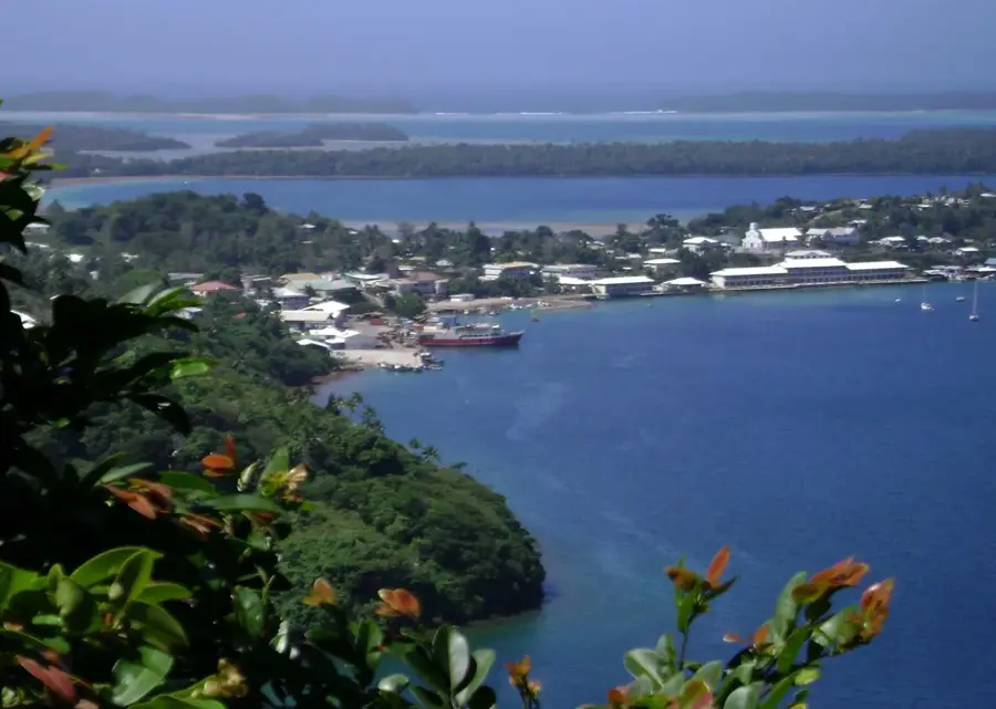
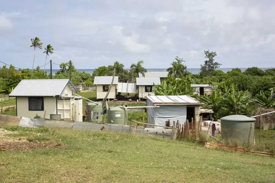
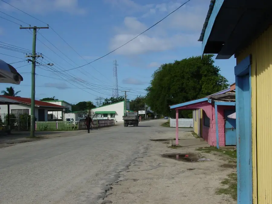
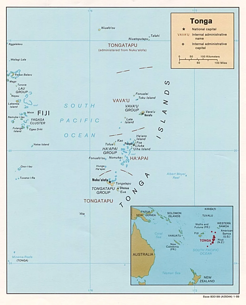
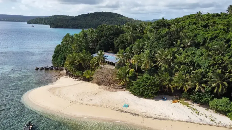
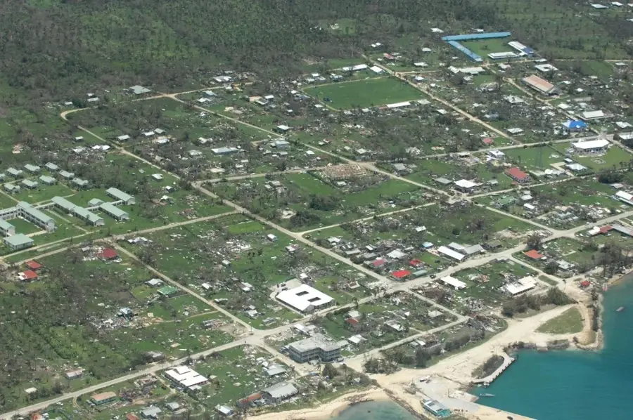
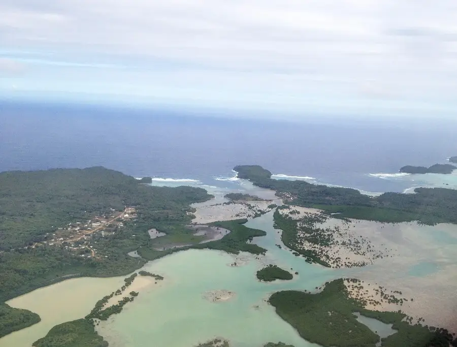
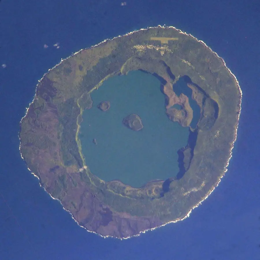
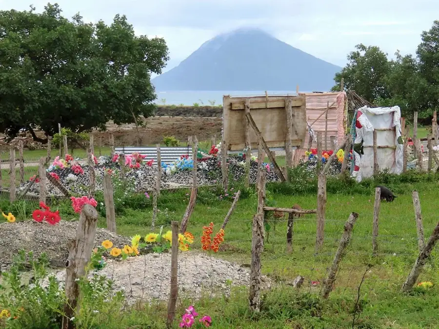
Niuatoputapu is a remote volcanic island in the northern part of the Kingdom of Tonga, situated approximately 600 kilometers from the main island of Tongatapu. The island features a distinct topography with a central ridge reaching an elevation of 157 meters at Mount Niutoua and is encircled by an extensive fringing coral reef. Historically, the island gained European recognition in 1616 when Dutch navigators Jacob Le Maire and Willem Schouten arrived and named it Verraders Eyland due to the active bartering with the local population. The local economy relies heavily on subsistence farming, specifically the cultivation of yams and taro, alongside the production of hand-woven pandanus mats. In 2009, the island was severely impacted by a tsunami triggered by a magnitude 8.1 earthquake in the Samoa segment, causing significant damage to local infrastructure. Today, about 700 residents inhabit the three main villages of Hihifo, Vaipoa, and Falehau, maintaining a lifestyle deeply rooted in traditional Polynesian customs.
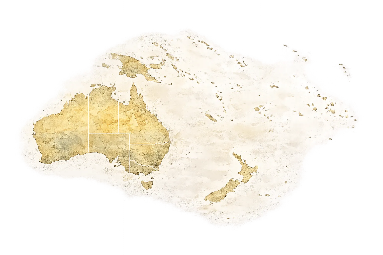
- Location: Tonga
- Top sights: Hehea 'Atatuka · Makamotu · Faka'ahotaha
Best time to visit & climate
The most pleasant time to visit is Jul–Sep.
| Jan | Feb | Mar | Apr | May | Jun | Jul | Aug | Sep | Oct | Nov | Dec | |
|---|---|---|---|---|---|---|---|---|---|---|---|---|
| Avg °C | 28 | 28 | 28 | 28 | 28 | 27 | 26 | 26 | 26 | 27 | 27 | 28 |
| Rain mm | 249 | 225 | 178 | 176 | 136 | 105 | 57 | 60 | 84 | 130 | 171 | 224 |
📋 Practical info
Geography
Facts
- Niuatoputapu is located at 15.95° south latitude and 173.78° west longitude.
- The island covers a total land area of approximately 18 square kilometers.
- Jacob Le Maire first charted the island on May 14, 1616.
- Mount Niutoua is the highest point on the island at 157 meters.
- The distance to the neighboring island of Tafahi is only 9 kilometers.
- The 2009 tsunami generated wave heights of up to 6 meters on the coastline.
Explore nearby
Notable places around
Route planner — Car & Motorhome
Where do you start? We build the route here, with stops and country notes along the way.
© OpenStreetMap contributors · OpenRouteService
Sights in the town Niuatoputapu Island (3)
Sights nearby
Frequently asked questions
Is Niuatoputapu Island safe?
What makes the island special?
Can you dive there?
Is there a hospital?
How is the weather?
Niuatoputapu Island: where is it located?
Niuatoputapu Island: what is there to see?
Niuatoputapu Island: when is the best time to visit?
Niuatoputapu Island: why is it worth visiting?
Nearby cities


History & landmarks
Nature


More places