Plizio Visual Lab
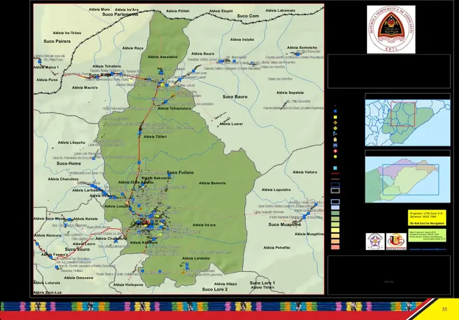
Fuiloro Plateau

Weather…
Water temperature…
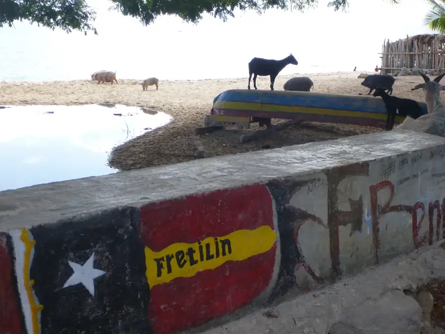
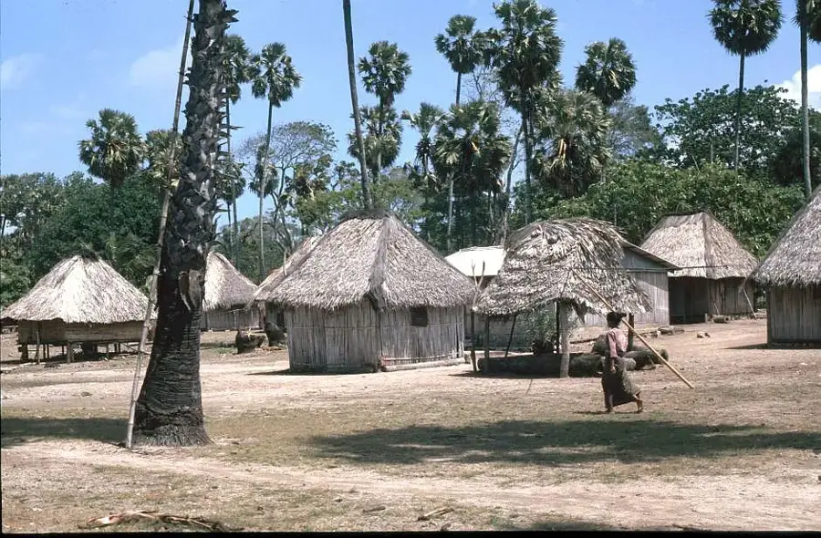
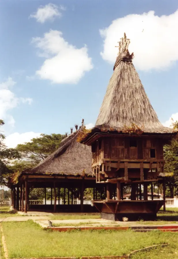
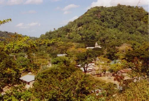
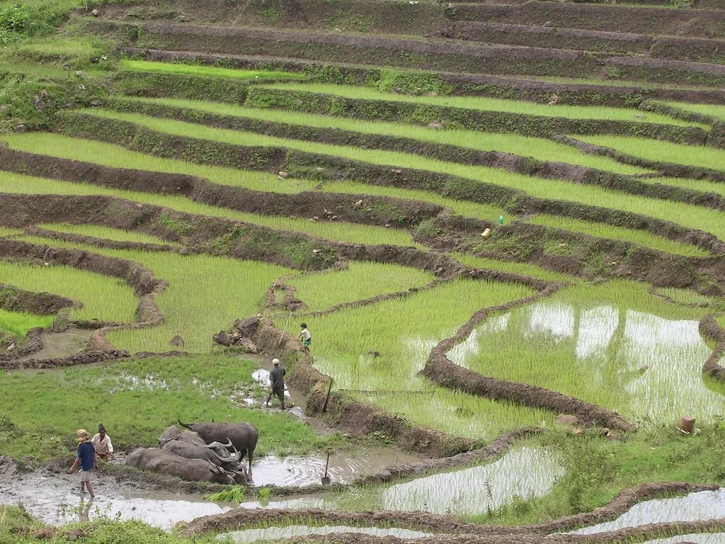
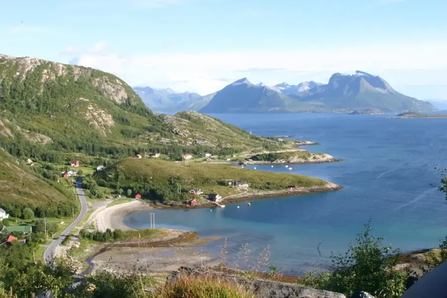
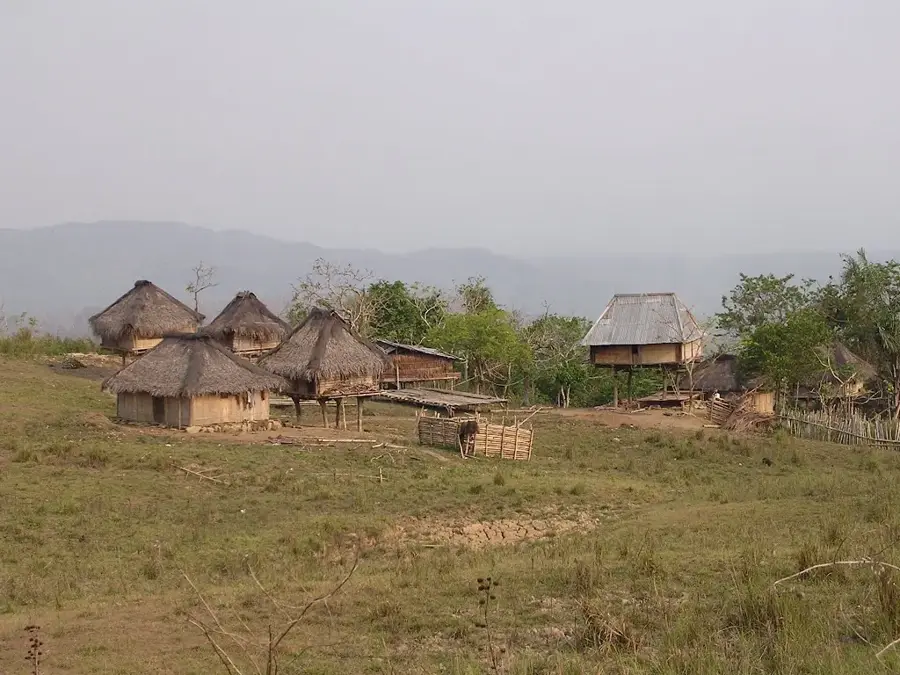
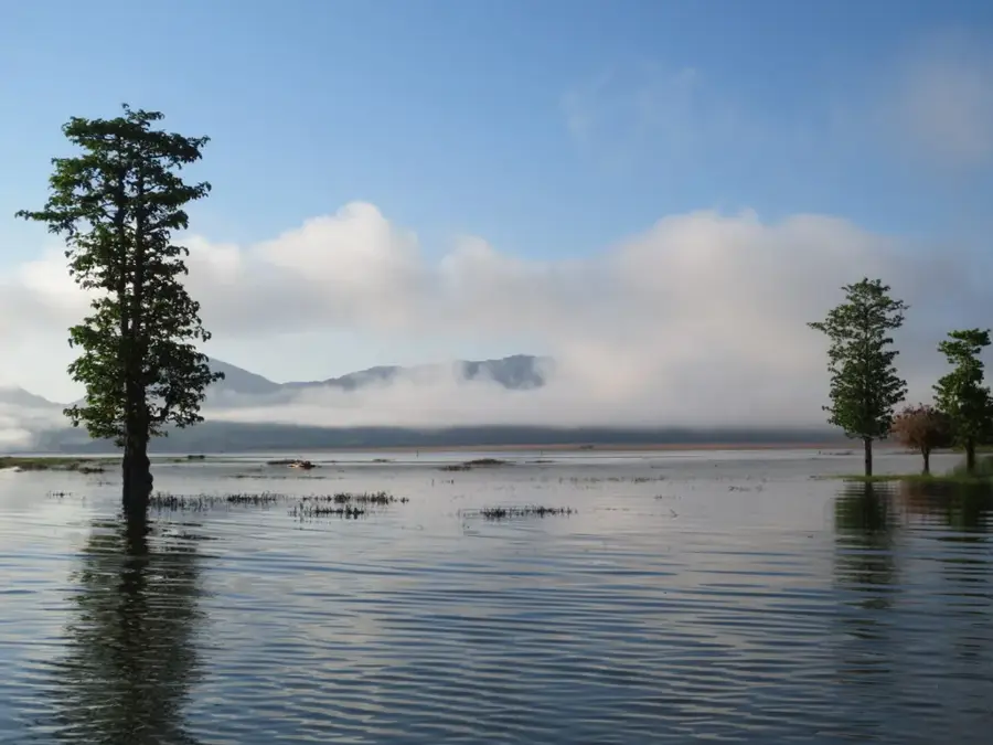
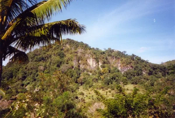
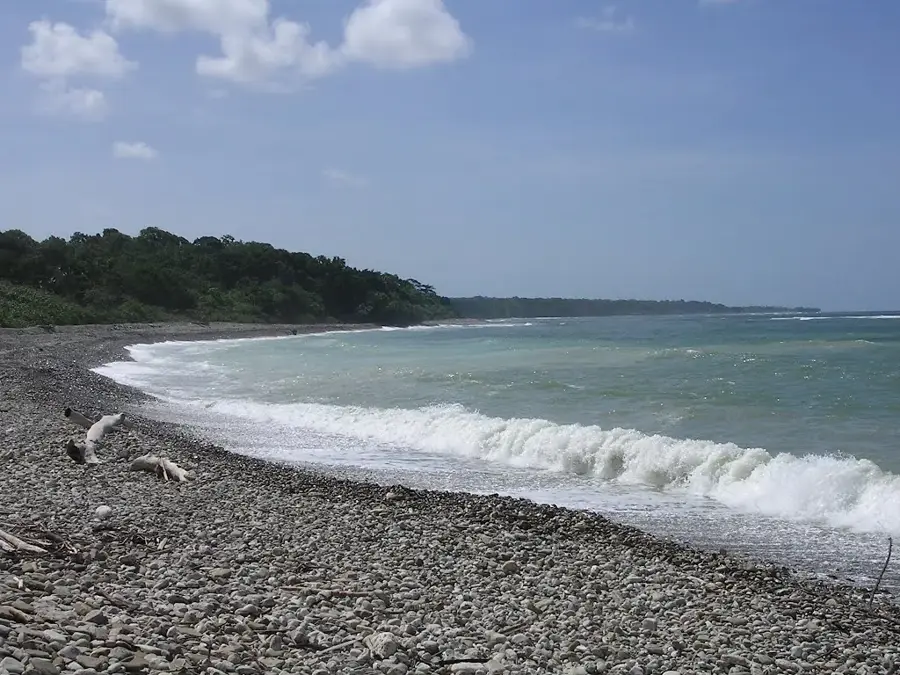
The Fuiloro Plateau is a vast and fertile upland plain located in the Lautém municipality of eastern Timor-Leste, surrounding the administrative center of Lospalos. Sitting at an average elevation of 350 to 400 meters, it represents one of the country's most significant agricultural zones. Geologically, the plateau is the basin of a former massive inland lake, which explains its flat topography and deep, nutrient-rich soils. The plateau is ringed by forested hills and bordered to the east by Lake Iralalaro, the largest lake on the island. The region is the cultural heartland of the Fataluku people, whose iconic high-roofed traditional houses (lee-teinu) define the local landscape. The plateau's relatively mild climate supports large-scale maize cultivation and extensive livestock farming, particularly cattle and water buffalo. Historically, the plain has been a strategic location due to its open terrain and abundant resources. Today, the Fuiloro Plateau is a key hub for regional development and a prime example of the integration of traditional indigenous culture with productive land management.
- Location: Timor-Leste
- Top sights: Praia · #Kapela#Sao Joao Apostolo e Evangelista, Maina I
- Nearby: Luro (11 km)
Best time to visit & climate
The most pleasant time to visit is Jul–Sep.
| Jan | Feb | Mar | Apr | May | Jun | Jul | Aug | Sep | Oct | Nov | Dec | |
|---|---|---|---|---|---|---|---|---|---|---|---|---|
| Avg °C | 28 | 28 | 28 | 28 | 27 | 26 | 26 | 26 | 27 | 28 | 29 | 29 |
| Rain mm | 203 | 162 | 118 | 63 | 51 | 29 | 13 | 5 | 5 | 10 | 46 | 145 |
📋 Practical info
Geography
Facts
- Average elevation of 350 to 400 meters
- Formed from an ancient inland lake bed
- Surrounds the town of Lospalos
- Cultural center of the Fataluku people
- Timor-Leste's primary cattle-farming region
- Bordered by Lake Iralalaro to the east
Explore nearby
Notable places around
Route planner — Car & Motorhome
Where do you start? We build the route here, with stops and country notes along the way.
© OpenStreetMap contributors · OpenRouteService
Sights in the town Fuiloro Plateau (2)
Sights nearby
Frequently asked questions
What is the main reason to visit Fuiloro-Plateau?
Are there accommodations on the plateau?
Is the area family-friendly?
What is the climate like there?
Is a guide needed?
Fuiloro Plateau: where is it located?
Fuiloro Plateau: what is there to see?
Fuiloro Plateau: when is the best time to visit?
Fuiloro Plateau: why is it worth visiting?

Nearby cities
History & landmarks
Nature

More places