Plizio Visual Lab
Mae Ya Waterfall

Weather…
Water temperature…
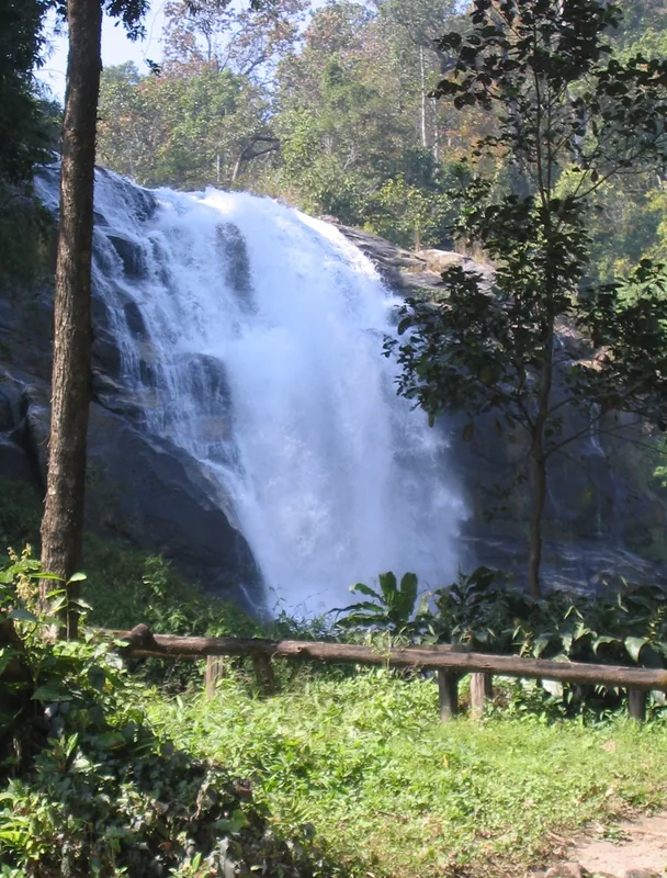
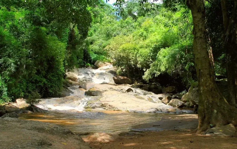
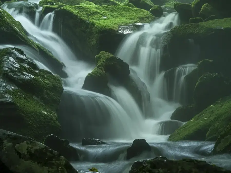
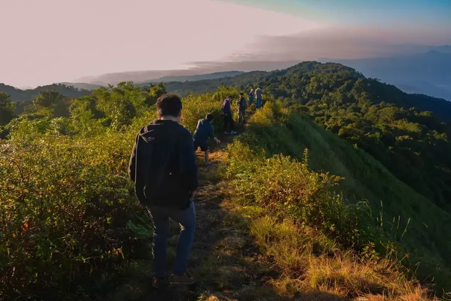
Mae Ya Waterfall is widely considered one of the most spectacular and largest waterfalls in Thailand, located in the southern section of Doi Inthanon National Park in Chiang Mai Province. It cascades down over 30 terraced rock layers from a height of approximately 280 meters, reaching a width of up to 100 meters at its base. The geological structure of granite and schist creates a distinctive fan-shaped appearance that is particularly impressive during the rainy season from May to October. The waterfall is fed by the Mae Ya River, which originates in the high altitudes of Doi Inthanon and flows through dense, pristine jungle. Due to its relatively remote location, Mae Ya remains less crowded than other attractions within the park, preserving its natural tranquility. Access is via a short forest trail that provides visitors glimpses of the local flora and fauna. The area is under strict environmental protection to ensure the long-term preservation of the region's delicate ecosystem.
- Location: Thailand
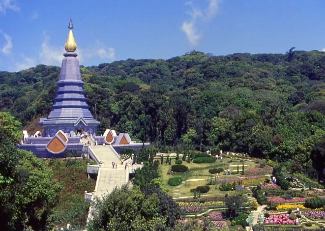
- Top sights: Doi Hua Suea · Mae Yai Waterfall Viewpoint · Mae Klang Waterfall
- Nearby: Pai (23 km)
Best time to visit & climate
The most pleasant time to visit is Jan, Feb, Dec.
| Jan | Feb | Mar | Apr | May | Jun | Jul | Aug | Sep | Oct | Nov | Dec | |
|---|---|---|---|---|---|---|---|---|---|---|---|---|
| Avg °C | 21 | 23 | 26 | 29 | 27 | 26 | 25 | 25 | 24 | 24 | 22 | 20 |
| Rain mm | 15 | 5 | 24 | 60 | 185 | 137 | 157 | 216 | 215 | 126 | 32 | 12 |
📋 Practical info
Geography
Facts
- The waterfall has a total drop height of approximately 280 meters.
- Mae Ya consists of more than 30 distinct rocky tiers.
- It is located about 15 kilometers south of the Doi Inthanon headquarters.
- The waterfall can reach a width of 100 meters during the wet season.
- Geologically, the rock face belongs to the granite complex of the Inthanon massif.
- Mae Ya is often cited as one of the cleanest waterfalls in northern Thailand.
Explore nearby
Notable places around
Route planner — Car & Motorhome
Where do you start? We build the route here, with stops and country notes along the way.
© OpenStreetMap contributors · OpenRouteService
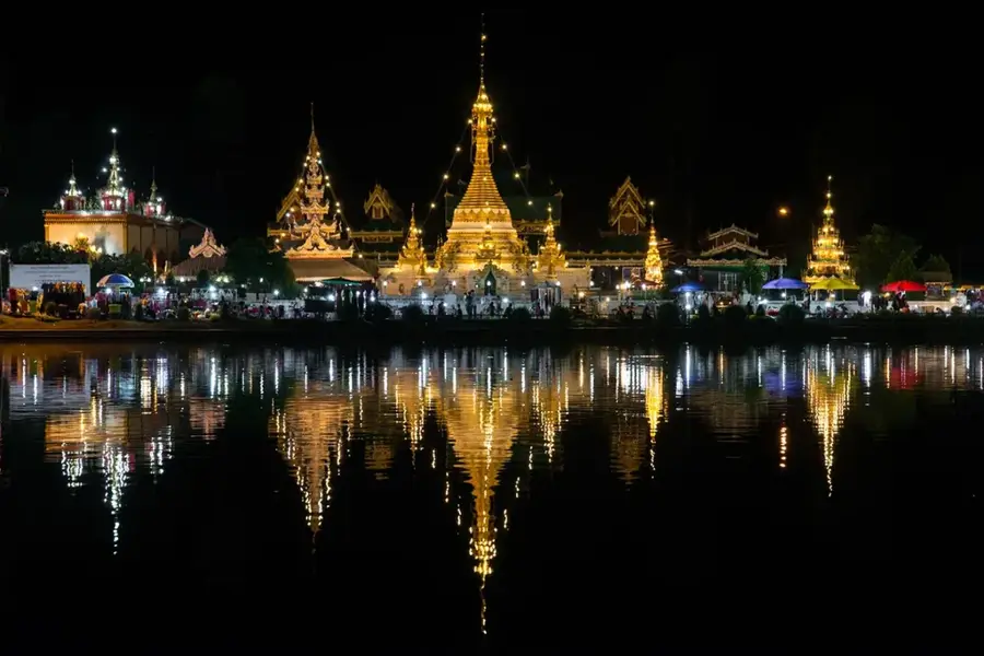
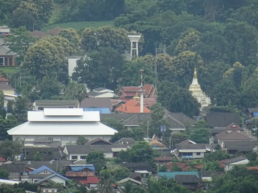
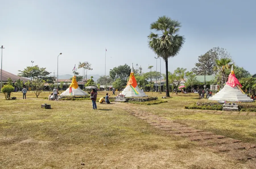
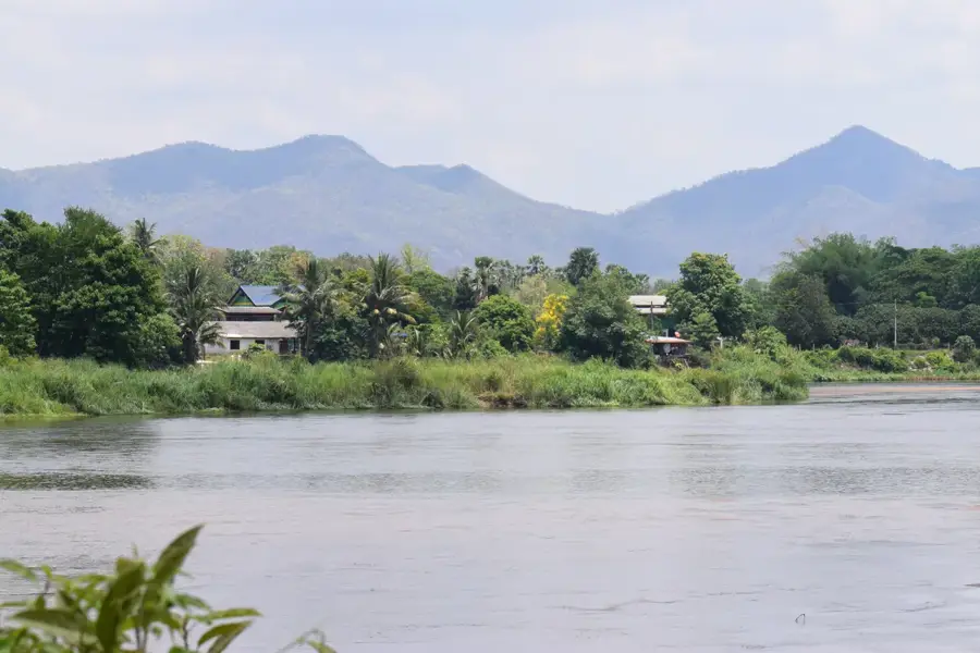
Sights in the town Mae Ya Waterfall (6)
Sights nearby
Frequently asked questions
When is the best time to visit?
Is swimming allowed?
How long does the journey take?
Are there any facilities?
Is a hike required?
Mae Ya Waterfall: where is it located?
Mae Ya Waterfall: what is there to see?
Mae Ya Waterfall: when is the best time to visit?
Mae Ya Waterfall: why is it worth visiting?

Nearby cities
History & landmarks
Nature
More places