Plizio Visual Lab
Bunda
ℹ️Practical info — Bunda
▾
🌤 Weather — 5 days
📍 Nearby
Sights nearby
💡 Tips
- An excellent, less crowded base for entering the Serengeti via the western Ndabaka Gate.
- Climb the nearby Balili Hill early in the morning for sweeping views over the town and plains.
- ATMs can be unreliable or empty; bring enough Tanzanian Shillings from larger cities.
- For local transport, negotiate boda-boda (motorcycle taxi) fares before getting on.
🍽 Food
Roasted meat and maize porridge, best experienced at local canteens near the main market.
Lake Victoria fish, available in eateries along the main road heading towards Musoma.
Sweet fried dough; grab it fresh from morning street vendors.
🛍 Shopping · 🧘 Quiet spots
Browse for fresh produce, local grains, and bustling Khanga textiles.
Look for small stalls near the bus stand selling woven baskets and basic wooden items.
Hike up for a peaceful atmosphere away from the bustling streets.
First-rate for quiet evening strolls witnessing rural Tanzanian life.
Water temperature…
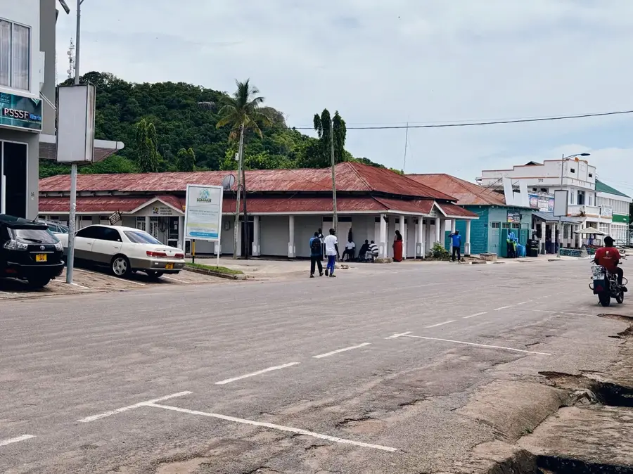
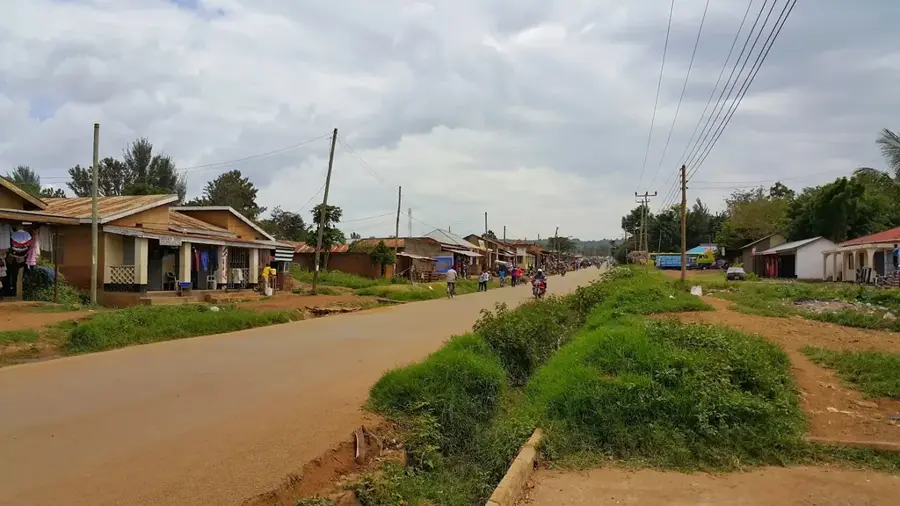
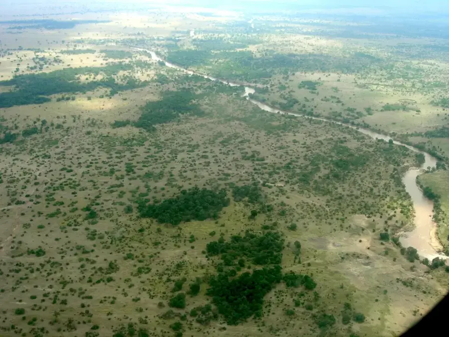
Bunda is a strategically significant town in northern Tanzania, located within the Mara Region near the southeastern shores of Lake Victoria. The town serves as a major gateway to the Western Corridor of the Serengeti National Park, making it an essential hub for tourism and transit. Geographically, Bunda is surrounded by striking rock formations and rolling hills that give the landscape a distinctive visual character. The local economy is primarily driven by agriculture, fishing in Lake Victoria, and the trade of agricultural commodities. As the administrative capital of the Bunda District, the town houses key government offices and regional educational institutions. Situated along the main highway connecting Mwanza with the Kenyan border, Bunda profits from significant cross-border trade and logistics. In recent years, the town has evolved into a dynamic urban center that successfully merges traditional heritage with modern African lifestyle.
- Location: Tanzania
- Nearby: Musoma (51 km)
- Population: ~182.970 (2024)
Best time to visit & climate
The most pleasant time to visit is Jun–Aug.
| Jan | Feb | Mar | Apr | May | Jun | Jul | Aug | Sep | Oct | Nov | Dec | |
|---|---|---|---|---|---|---|---|---|---|---|---|---|
| Avg °C | 24 | 25 | 24 | 24 | 23 | 23 | 24 | 24 | 25 | 25 | 24 | 23 |
| Rain mm | 78 | 70 | 135 | 135 | 74 | 27 | 19 | 44 | 58 | 92 | 146 | 121 |
Geography
Facts
- Bunda is located approximately 20 kilometers from the shores of Lake Victoria.
- The town is a key starting point for safaris into the Serengeti National Park.
- Cotton and cassava are the most important agricultural products of the area.
- The landscape around Bunda is famous for its distinctive granite inselbergs.
- The town is positioned on the T1 highway connecting Mwanza and Musoma.
- The local population comprises several ethnic groups, notably the Kuria and Jita.
Explore nearby
Notable places around
Route planner — Car & Motorhome
Where do you start? We build the route here, with stops and country notes along the way.
© OpenStreetMap contributors · OpenRouteService
Sights in the town Bunda (1)
Frequently asked questions
How long to stay in Bunda?
When should one visit Bunda?
How to travel to Bunda?
Is there local food in Bunda?
Is Bunda family-friendly?
Bunda: where is it located?
Bunda: when is the best time to visit?
Bunda: why is it worth visiting?

Nearby cities