Plizio Visual Lab
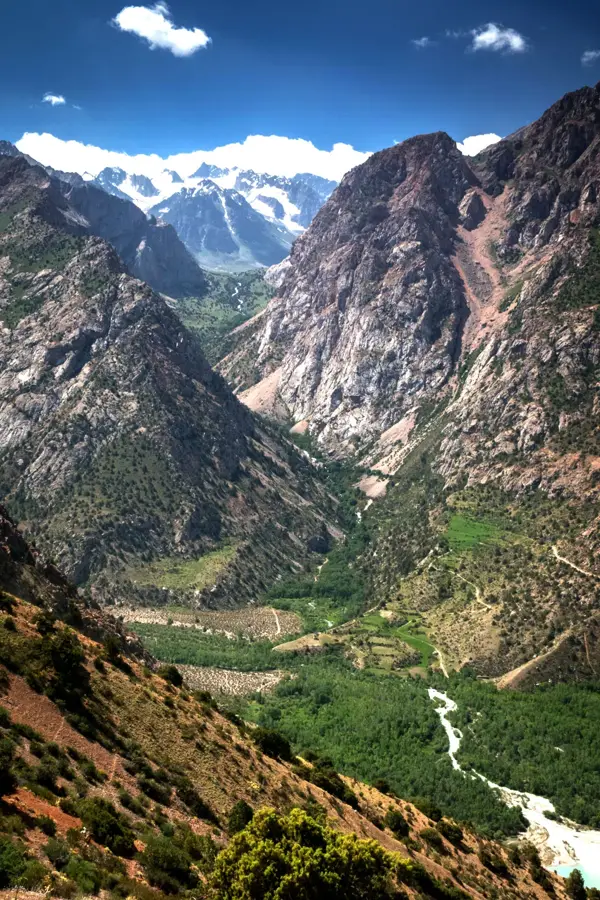
Zeravshan River
Weather…
Water temperature…
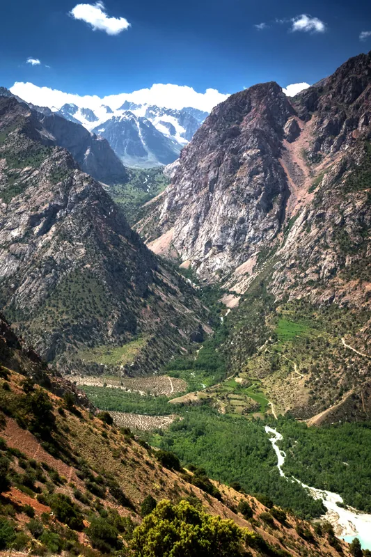
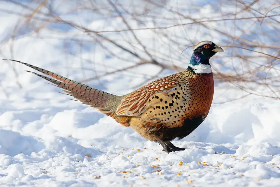
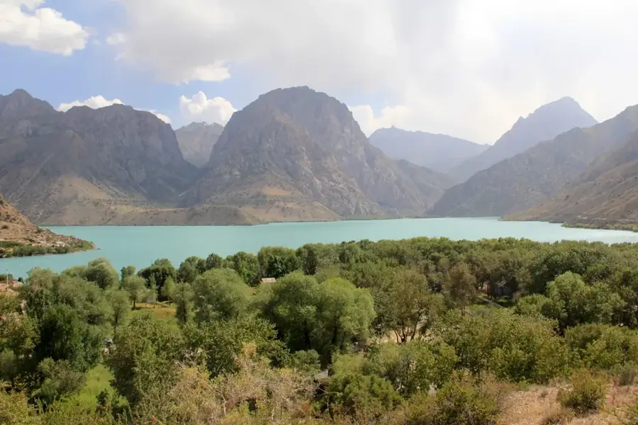
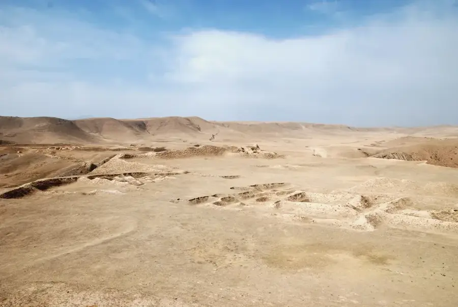
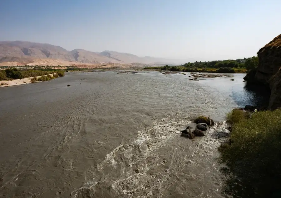
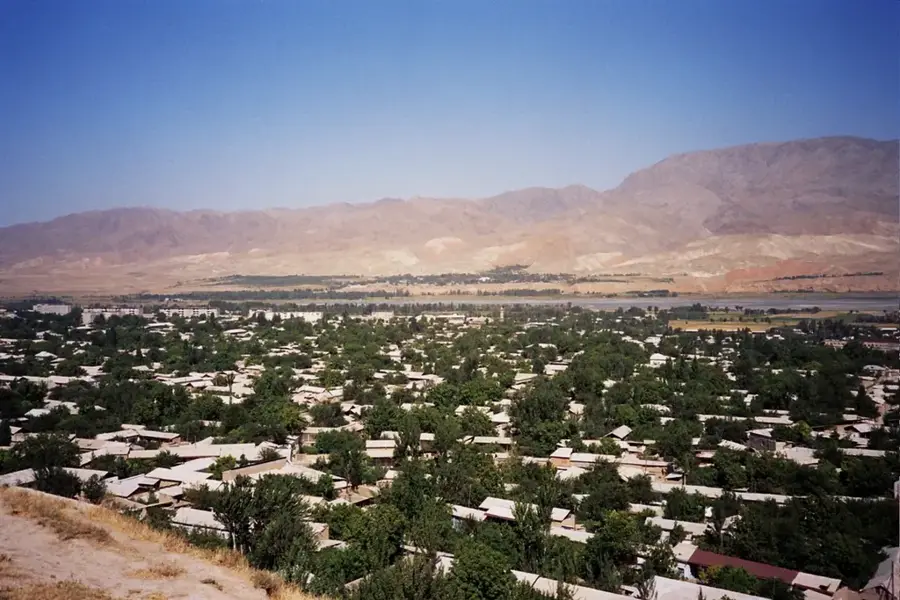
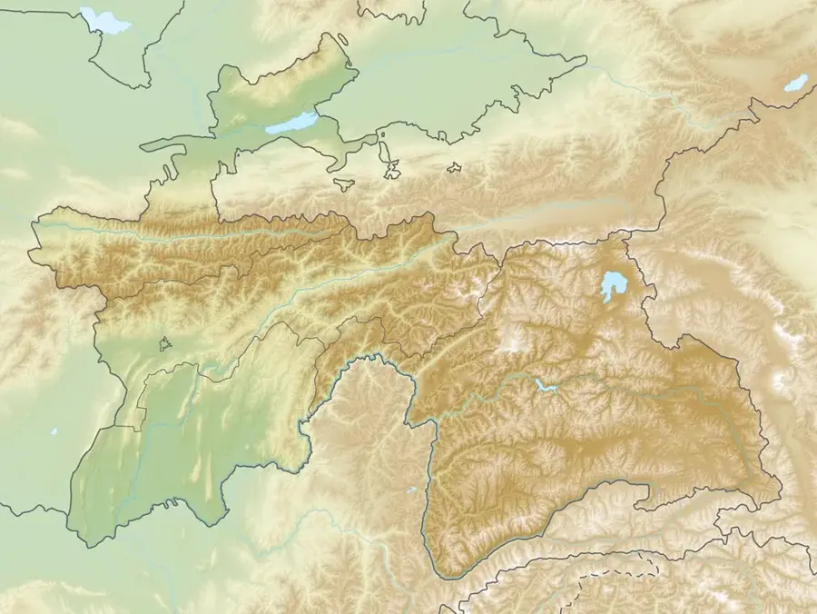
The Zeravshan River is a major river in Tajikistan and Uzbekistan. It originates from the Zeravshan Glacier in the Pamir Mountains at about 5,000 meters altitude. With a length of 877 kilometers, it flows through the cities of Panjakent and Samarkand before dissipating in the Kyzylkum Desert. The river is heavily used for irrigation, especially in Uzbekistan. In Tajikistan, it is used for electricity generation via small hydroelectric plants. The water carries much sediment due to glacial melt. Its historical significance is great: important Silk Road cities were along its banks. The riverbanks are fertile and intensively farmed. Biodiversity includes rare bird and fish species. The river is a vital water source for millions. However, it suffers from water scarcity and pollution from wastewater.
- Location: Tajikistan
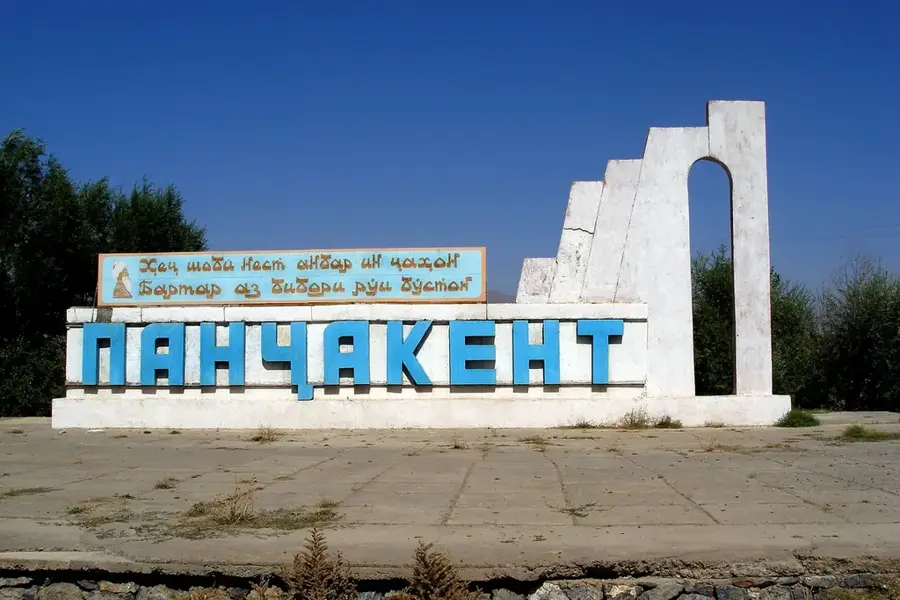
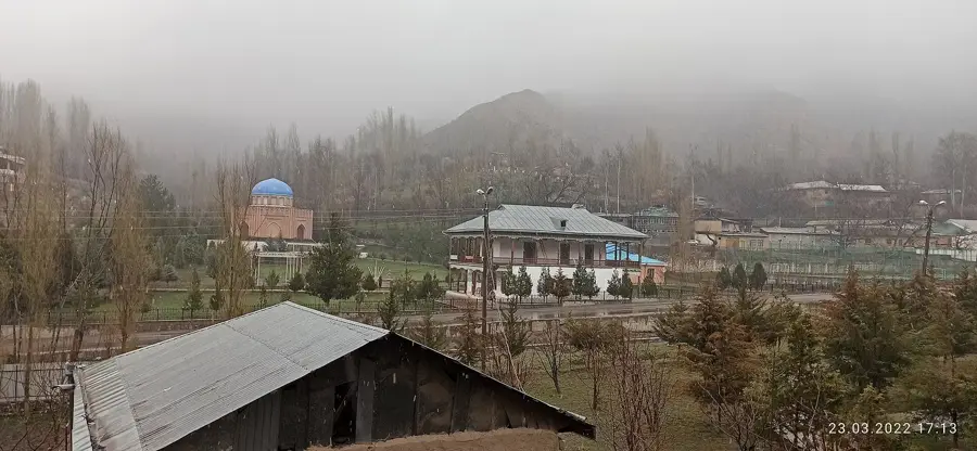
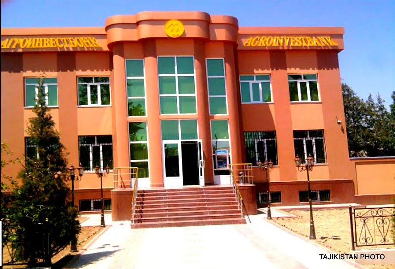
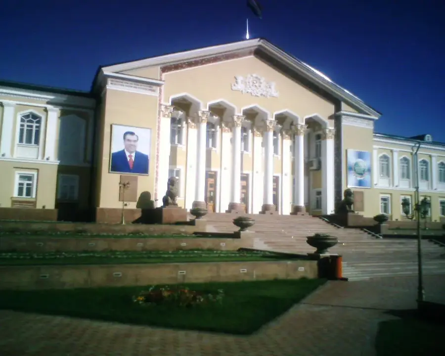
- Top sights: Gardani Hisor (Madm Castle) · Masch'idi Iskobod · Masch'idi Langar
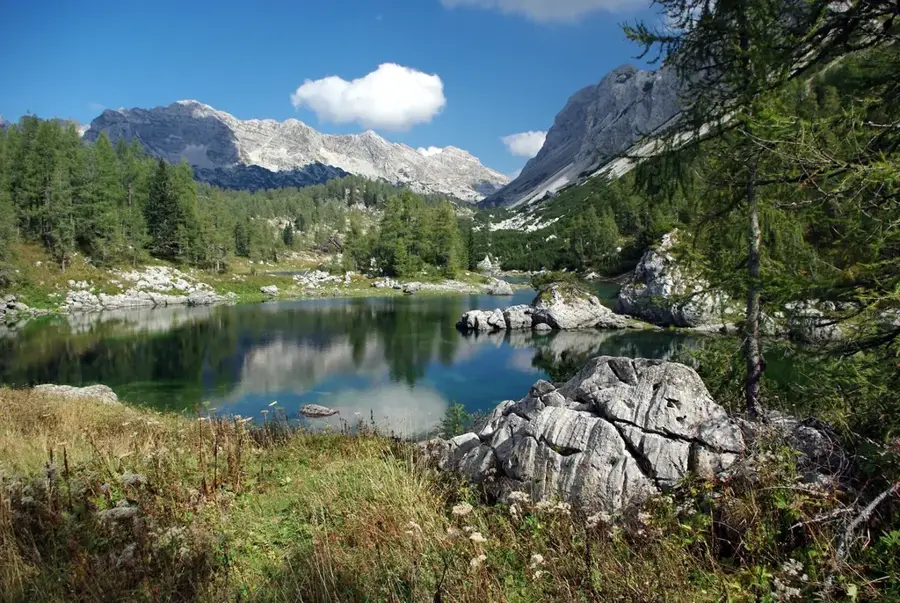
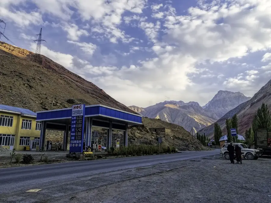
- Nearby: Fann Mountains (9 km)
Best time to visit & climate
The most pleasant time to visit is Jun–Aug.
| Jan | Feb | Mar | Apr | May | Jun | Jul | Aug | Sep | Oct | Nov | Dec | |
|---|---|---|---|---|---|---|---|---|---|---|---|---|
| Avg °C | -9 | -7 | -1 | 4 | 9 | 13 | 16 | 15 | 11 | 5 | -1 | -7 |
| Rain mm | 28 | 41 | 52 | 48 | 35 | 15 | 6 | 3 | 3 | 16 | 33 | 33 |
📋 Practical info
Geography
Facts
- Length: 877 km
- Catchment area: 41,000 km²
- Source elevation: 5,000 m
- Average discharge: 180 m³/s
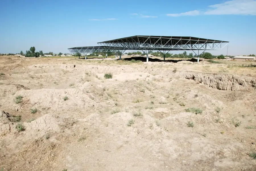
- Number of hydroelectric plants: 7
- Irrigated area: 800,000 hectares
Explore nearby
Notable places around
Route planner — Car & Motorhome
Where do you start? We build the route here, with stops and country notes along the way.
© OpenStreetMap contributors · OpenRouteService
Sights in the town Zeravshan River (3)
Sights nearby
Frequently asked questions
What is special about the Serafschan valley?
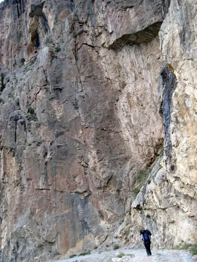
Can one hike along the river?
Is the region very hot in summer?
Is a visa required?
Is there accommodation nearby?
Zeravshan River: where is it located?
Zeravshan River: what is there to see?
Zeravshan River: when is the best time to visit?
Zeravshan River: why is it worth visiting?

Nearby cities
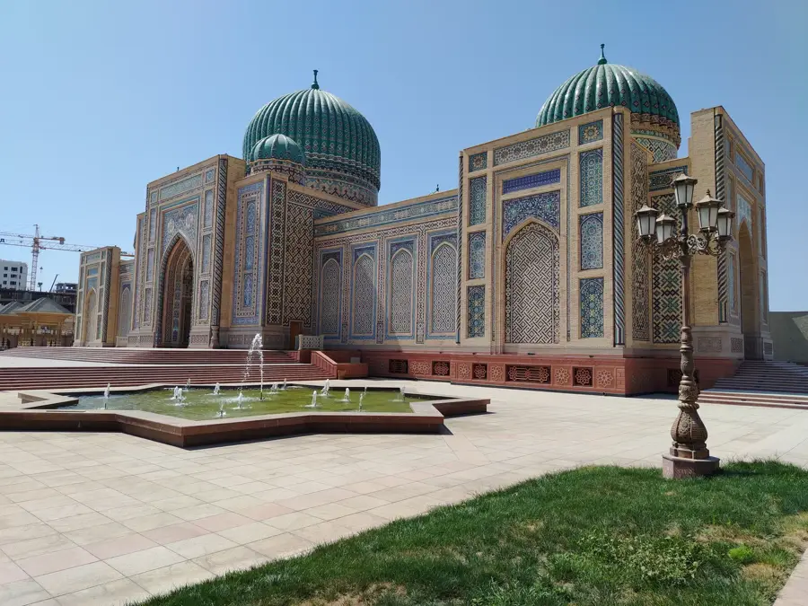


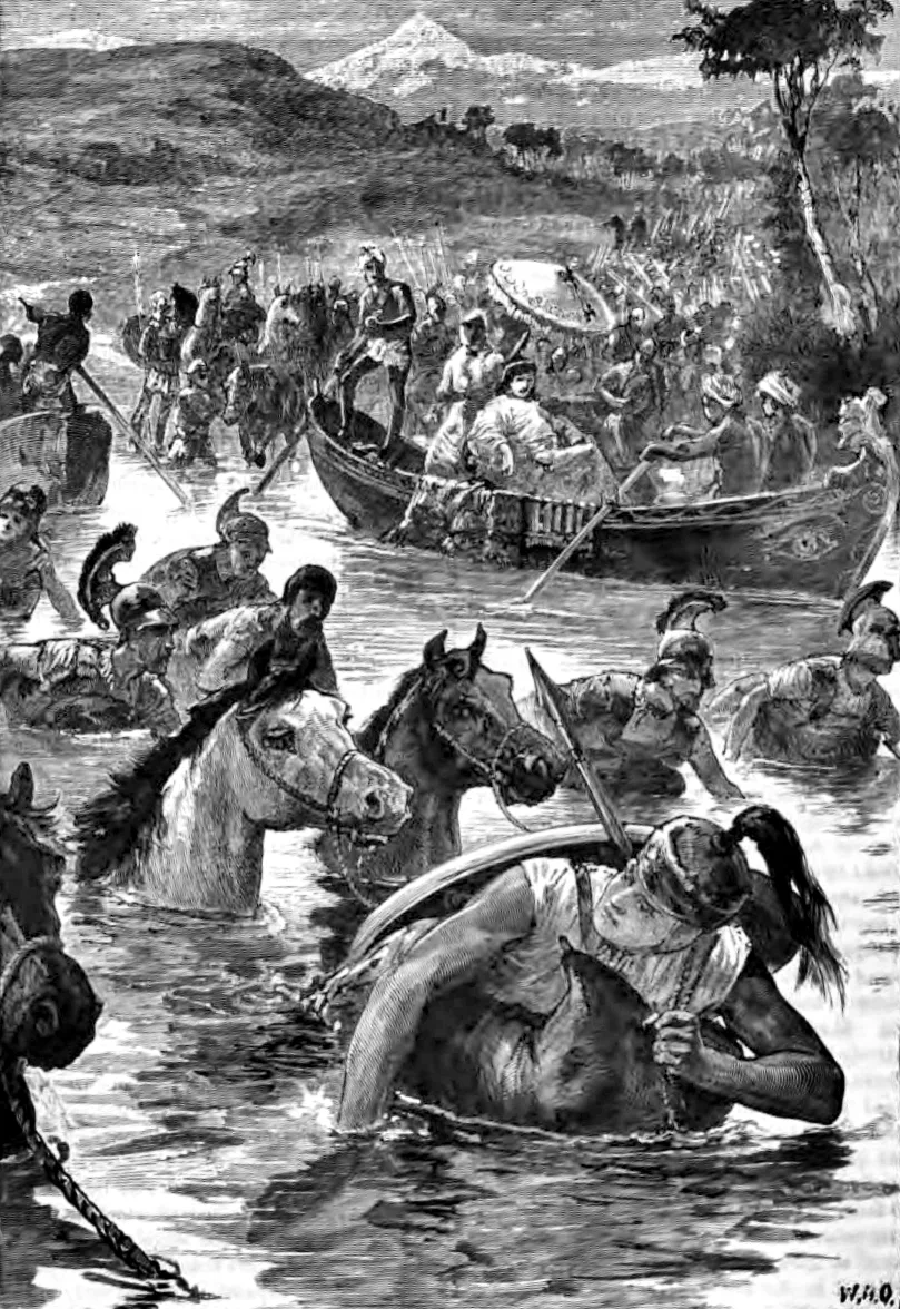
History & landmarks
Nature

More places