Plizio Visual Lab
Qixingshan

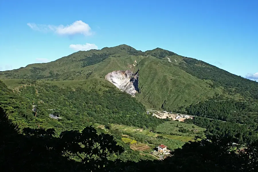
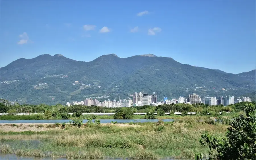
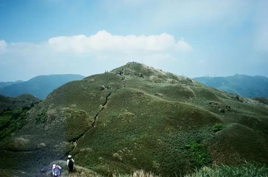
Qixingshan, or Seven Star Mountain, is the highest peak in the Tatun Volcanic Group and the highest point in Taipei City. Located within Yangmingshan National Park, it reaches an elevation of 1,120 meters above sea level. The mountain is a dormant stratovolcano that first formed about 700,000 years ago, with its current summit structure dating back to an eruption roughly 300,000 years ago. Qixingshan is famous for its active post-volcanic features, including steaming fumaroles and sulfur deposits, most notably at the Xiaoyoukeng site. Due to the intense northeast monsoon winds, the vegetation near the summit consists mainly of silvergrass and arrow bamboo, as trees cannot withstand the harsh conditions. The mountain serves as a vital recreational lung for Taipei's urban population, providing panoramic views of the entire Taipei Basin and the northern coastline. Historically, the area was significant for sulfur mining operations during the Qing Dynasty.
- Location: Taiwan
- Top sights: Qixingshan · Mt. Qixing East Peak · Menghuanhu Lookout
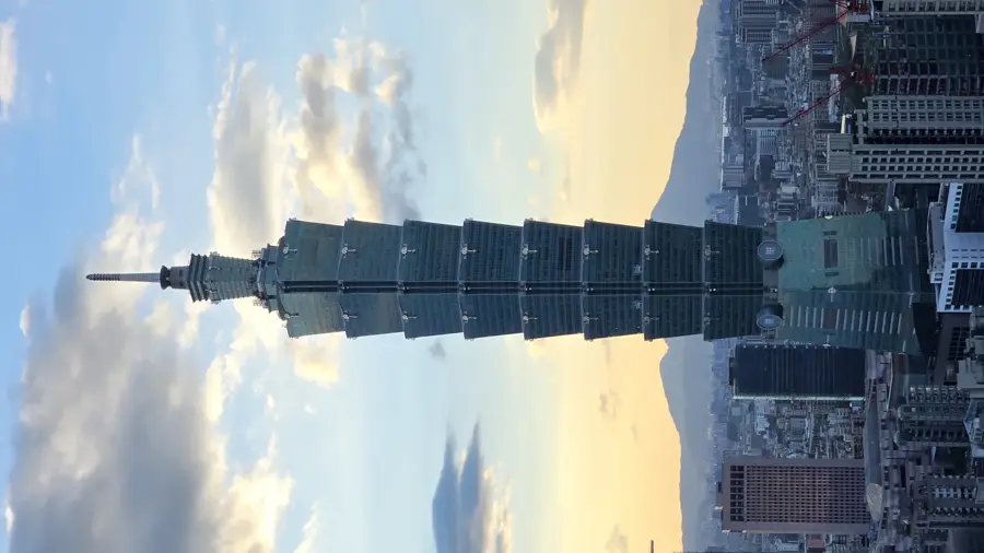
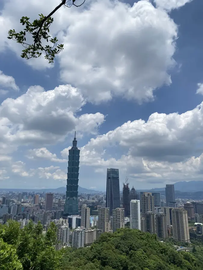
- Nearby: Beitou (7 km)
Best time to visit & climate
The most pleasant time to visit is Apr, Oct, Nov.
| Jan | Feb | Mar | Apr | May | Jun | Jul | Aug | Sep | Oct | Nov | Dec | |
|---|---|---|---|---|---|---|---|---|---|---|---|---|
| Avg °C | 14 | 15 | 17 | 21 | 24 | 26 | 28 | 27 | 26 | 23 | 20 | 16 |
| Rain mm | 95 | 88 | 127 | 122 | 227 | 270 | 169 | 263 | 243 | 109 | 107 | 96 |
📋 Practical info
Geography
Facts
- At 1,120 meters, it is the highest point in the Taipei metropolitan area
- The mountain is a dormant stratovolcano of the Tatun Group
- Active fumaroles release steam and sulfur at the Xiaoyoukeng site
- The name 'Seven Star' refers to the seven peaks on its summit area
- It was a major site for sulfur extraction during the 18th and 19th centuries
- Summit temperatures are typically 6 to 8 degrees Celsius cooler than downtown Taipei
Explore nearby
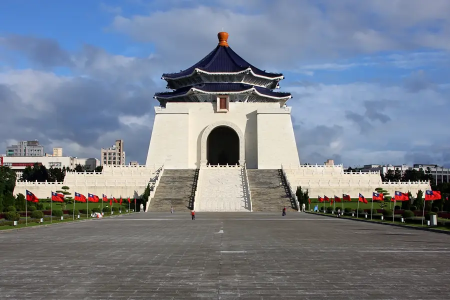
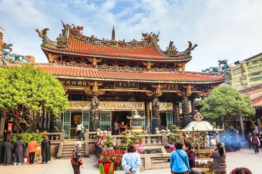
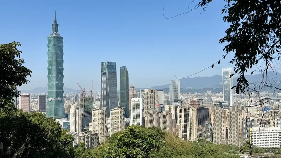
Notable places around
Route planner — Car & Motorhome
Where do you start? We build the route here, with stops and country notes along the way.
© OpenStreetMap contributors · OpenRouteService
Sights in the town Qixingshan (6)
Sights nearby
Frequently asked questions
How long does the hike to Qixingshan take?
Is the trail well-marked?
Is there parking at the trailhead?
What is the best time for the climb?
Can I combine the hike with other activities?
Qixingshan: where is it located?
Qixingshan: what is there to see?
Qixingshan: when is the best time to visit?
Qixingshan: why is it worth visiting?

Nearby cities
History & landmarks
More places