Plizio Visual Lab
Taipingshan

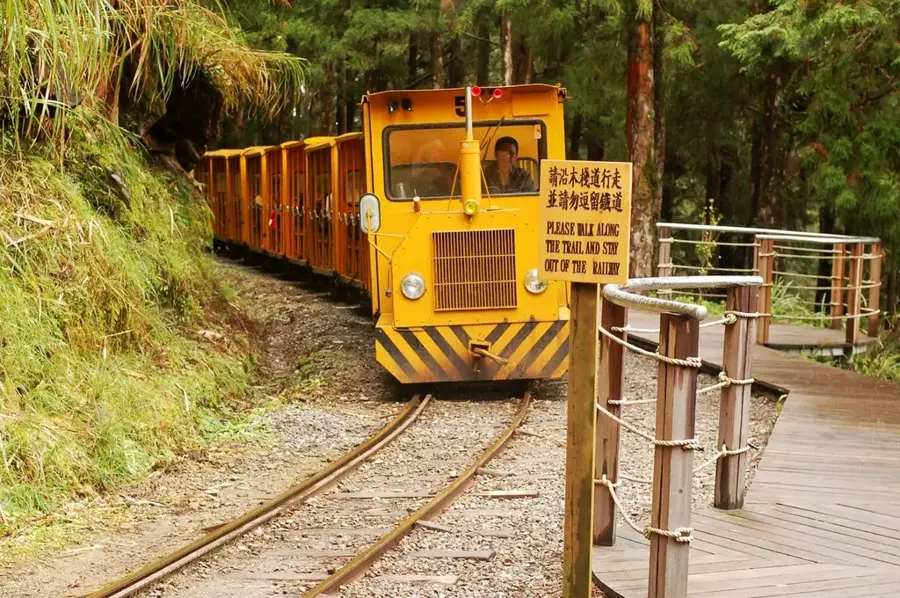
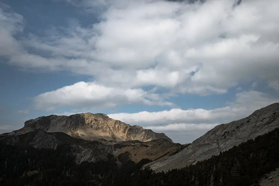
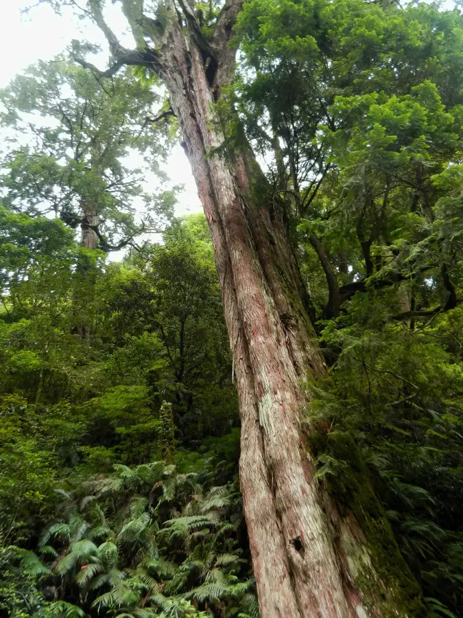
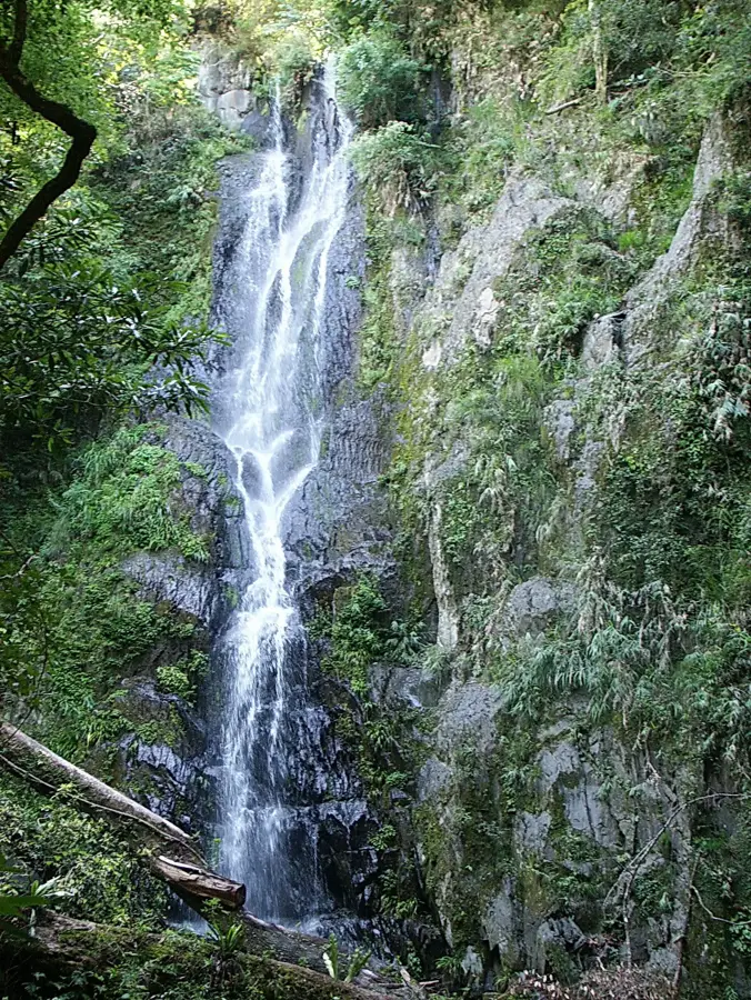
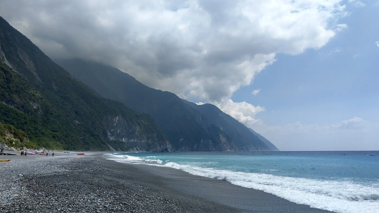
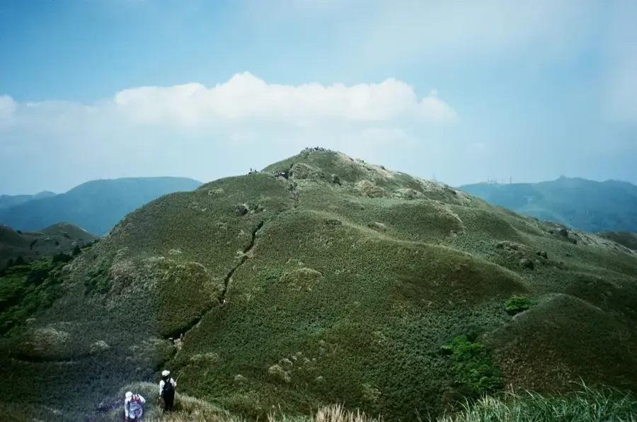
The Taipingshan National Forest Recreation Area in Yilan County is a historically and ecologically significant highland region in northeastern Taiwan. Situated at an average elevation of approximately 1,950 meters, it was one of the island's three major logging centers during the Japanese colonial era. The region's history is deeply intertwined with the timber industry, evidenced today by the preserved "Bong Bong Train" forest railway and remnants of old logging facilities. Geographically, the area is renowned for its dense cloud forests and Cuifeng Lake, Taiwan's largest alpine lake, which is frequently shrouded in mist. The flora includes precious stands of Taiwan cypress and red cypress, with some trees estimated to be over a thousand years old. Following the cessation of commercial logging in 1982, the area was revitalized as a premier destination for ecotourism. Today, it attracts visitors with its cool mountain climate, the Hatun hot springs, and unique high-altitude biodiversity. The region also serves as a critical habitat for rare bird species and endangered fern varieties.
- Location: Taiwan
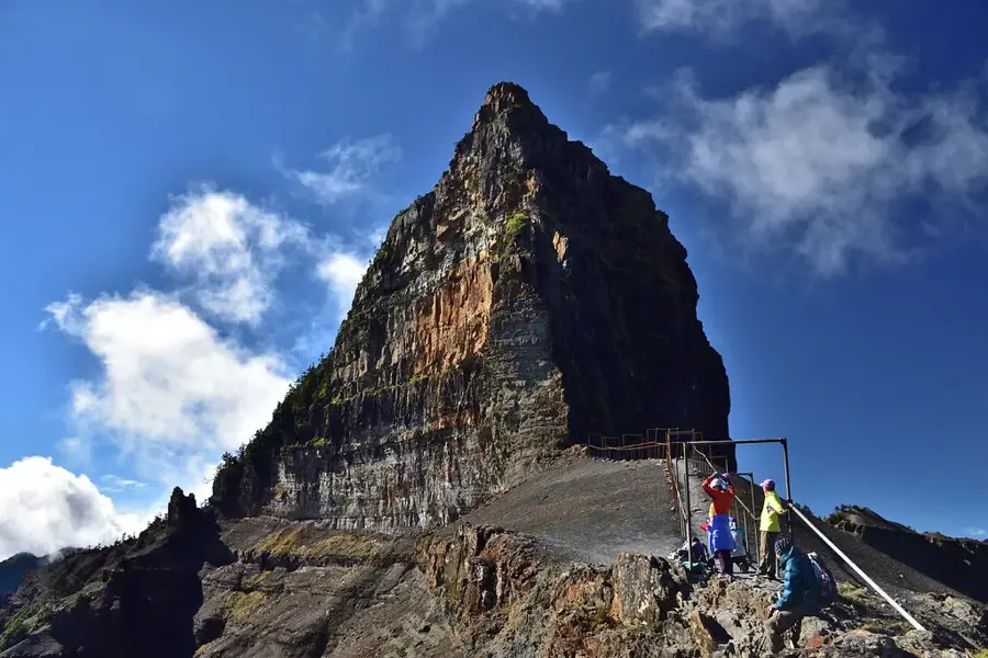
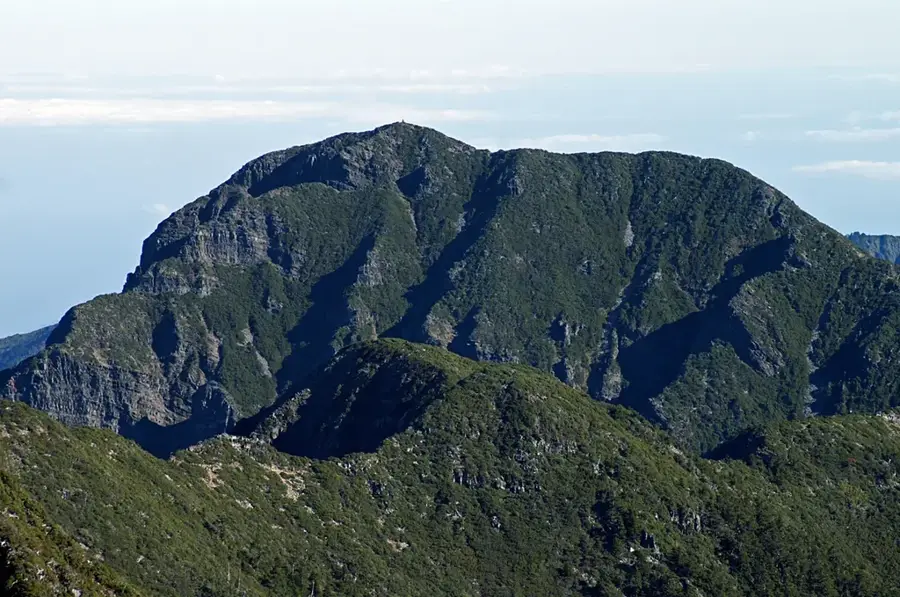
- Top sights: Shendaishan · Sanxingshan · Wangyangshan
- Nearby: Hutoushan / Lalashan (18 km)
Best time to visit & climate
The most pleasant time to visit is Apr, Jul, Oct.
| Jan | Feb | Mar | Apr | May | Jun | Jul | Aug | Sep | Oct | Nov | Dec | |
|---|---|---|---|---|---|---|---|---|---|---|---|---|
| Avg °C | 10 | 11 | 13 | 17 | 20 | 21 | 22 | 22 | 21 | 17 | 15 | 11 |
| Rain mm | 94 | 89 | 130 | 129 | 270 | 303 | 183 | 311 | 307 | 151 | 139 | 104 |
📋 Practical info
Geography
Facts
- The area sits at an average elevation of 1,950 meters above sea level.
- Commercial logging operations were officially terminated in 1982.
- Cuifeng Lake covers 25 hectares, making it the largest alpine lake in Taiwan.
- Snowfall is recorded in the area during winters when temperatures drop below 0°C.
- Some ancient cypress trees in the forest are over 2,500 years old.
- The Hatun Hot Springs feature water temperatures as high as 97 degrees Celsius.
Explore nearby
Notable places around
Route planner — Car & Motorhome
Where do you start? We build the route here, with stops and country notes along the way.
© OpenStreetMap contributors · OpenRouteService
Sights in the town Taipingshan (4)
Sights nearby
Frequently asked questions
How difficult is the hike up Taipingshan?
When is the best time of year to visit?
Is parking available on-site?
Are there restrooms or restaurants on the mountain?
What is the weather risk at Taipingshan?
Taipingshan: where is it located?
Taipingshan: what is there to see?
Taipingshan: when is the best time to visit?
Taipingshan: why is it worth visiting?

Nearby cities


History & landmarks


Nature

More places