Plizio Visual Lab
Ghab Plain
Weather…
Water temperature…
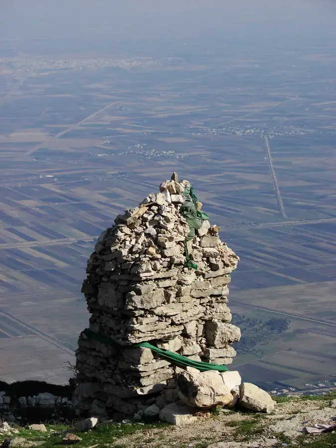
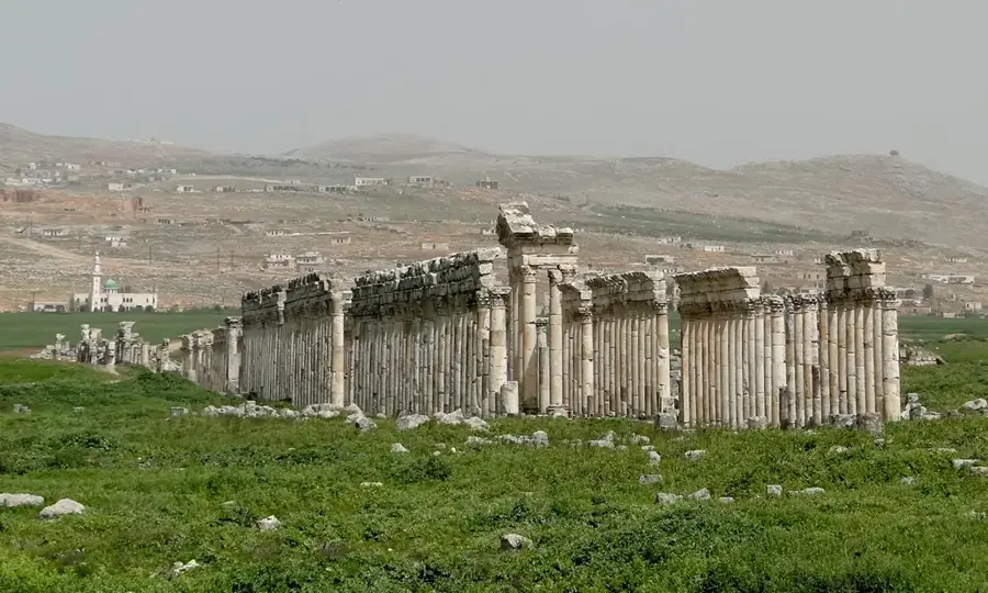
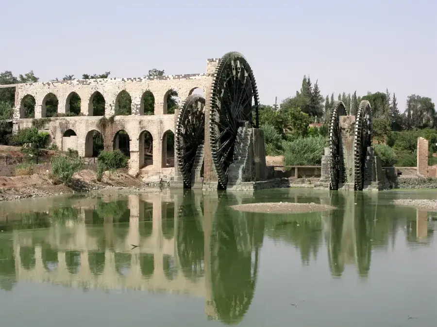
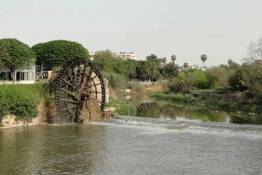
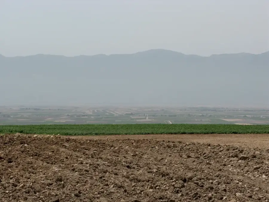
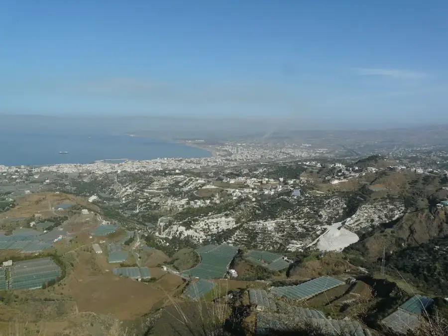
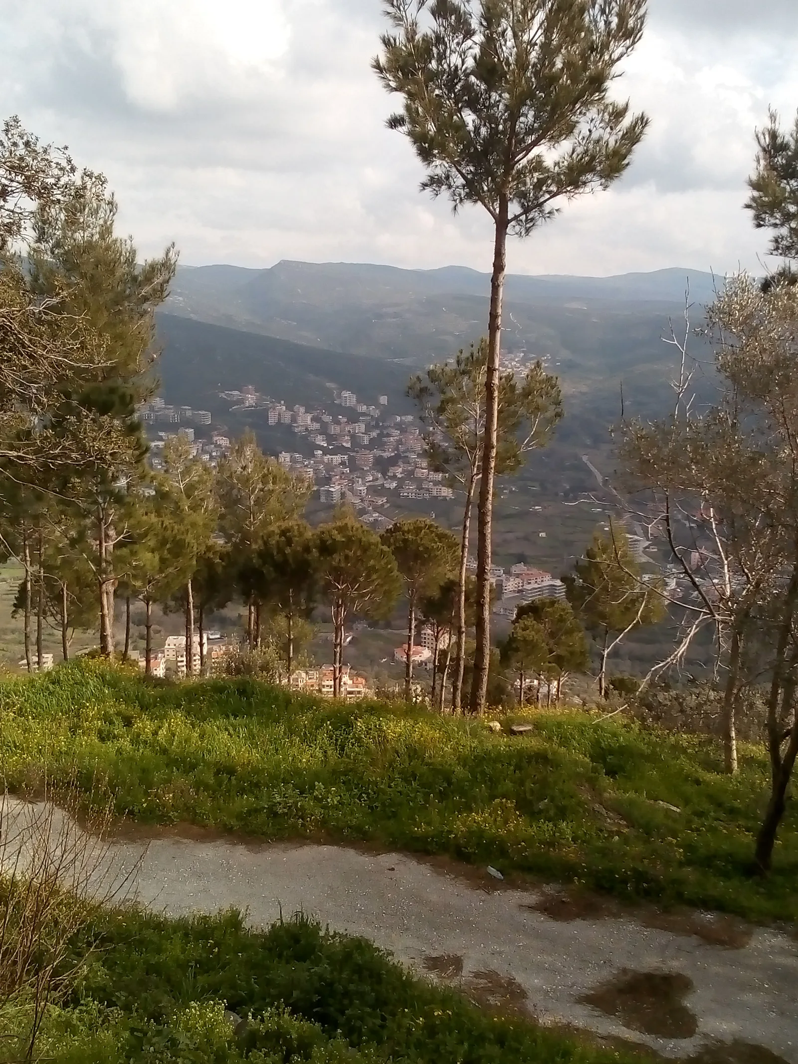
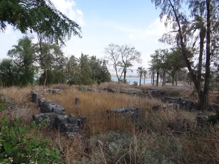
The Ghab Plain is a large tectonic depression in northwestern Syria, situated within the Hama Governorate and traversed by the Orontes River. Historically, the area was a swampy marshland until a massive reclamation project undertaken in the 1950s, specifically between 1954 and 1968, drained the waters to create highly fertile agricultural soil. The plain extends for about 63 kilometers in length and reaches a width of 12 kilometers, bordered by the Alawite Mountains to the west and the Zawiya Mountain to the east. Today, it serves as a critical agricultural hub for Syria, supporting the large-scale production of wheat, cotton, and sugar beets through extensive irrigation networks. The region has been inhabited since ancient times, acting as a strategic link between the Mediterranean coast and the Syrian interior. Its modern transformation remains one of the most significant environmental and infrastructural engineering feats in the country's history.
- Location: Syria
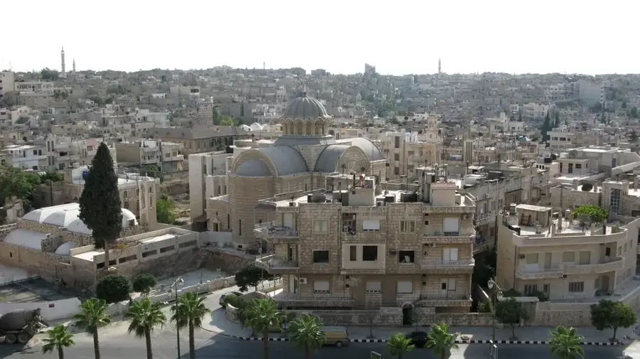
- Nearby: Qardaha (35 km)
Best time to visit & climate
The most pleasant time to visit is May, Jun, Oct.
| Jan | Feb | Mar | Apr | May | Jun | Jul | Aug | Sep | Oct | Nov | Dec | |
|---|---|---|---|---|---|---|---|---|---|---|---|---|
| Avg °C | 7 | 9 | 12 | 16 | 20 | 24 | 27 | 27 | 25 | 21 | 14 | 9 |
| Rain mm | 124 | 92 | 56 | 35 | 21 | 9 | 2 | 5 | 17 | 37 | 63 | 116 |
📋 Practical info
Geography
Facts
- The plain covers a total area of approximately 600 square kilometers.
- The drainage and reclamation project was primarily executed from 1954 to 1968.
- The Orontes River is the primary source of water for the region's irrigation system.
- The elevation of the plain floor ranges between 170 and 220 meters above sea level.
- Sugar beets are one of the most prominent industrial crops grown in the area.
- The western border is defined by the steep slopes of the Alawite Mountain range.
Explore nearby
Notable places around
Route planner — Car & Motorhome
Where do you start? We build the route here, with stops and country notes along the way.
© OpenStreetMap contributors · OpenRouteService
Sights in the town Ghab Plain (1)
Sights nearby
Frequently asked questions
Why is the Ghab plain so important?
Is the area developed for tourism?
When should one visit?
Are there hiking trails?
What can be seen nearby?
Ghab Plain: where is it located?
Ghab Plain: when is the best time to visit?
Ghab Plain: why is it worth visiting?

Nearby cities

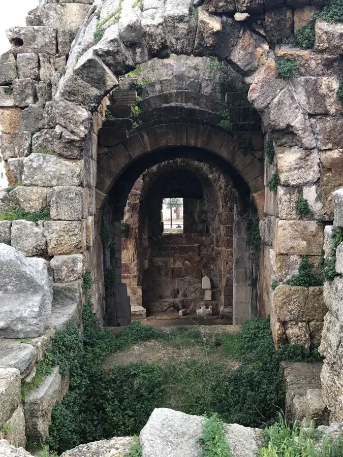
History & landmarks
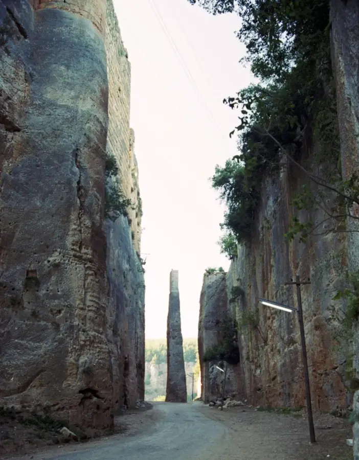
Nature

More places