Plizio Visual Lab
Al-Fulah
ℹ️Practical info — Al-Fulah
▾
🌤 Weather — 5 days
📍 Nearby
Sights nearby
💡 Tips
- As an administrative and pastoral center, respect the nomadic culture of the local Baggara Arab tribes.
- Travel during the rainy season can be very difficult due to muddy, unpaved roads, so plan accordingly.
- The local livestock market is the lifeblood of the city and highly recommended for cultural observation.
- Tourist infrastructure is very basic, so be prepared for modest accommodations and facilities.
🍽 Food
Spiced, peanut-coated grilled meat skewers sold at roadside stands as evening falls.
A paper-thin, slightly sour crepe-like bread that serves as the base for most stews.
Thanks to the pastoral economy, the local yogurt and fresh milk drinks are excellent.
🛍 Shopping · 🧘 Quiet spots
Even if you aren't buying cattle, the morning market hustle is a fascinating cultural sight.
Browse the main souk for traditional hand-crafted leather goods made from local hides.
Walk to the town limits for uninterrupted views of the flat, sprawling savannah at sunset.
Find a quiet shaded corner away from the busy market to relax with a glass of minted tea.
Water temperature…
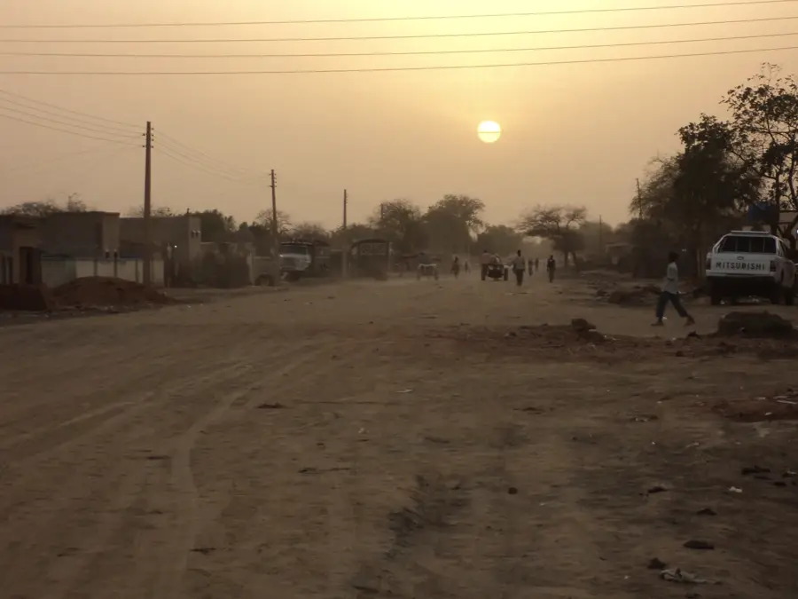
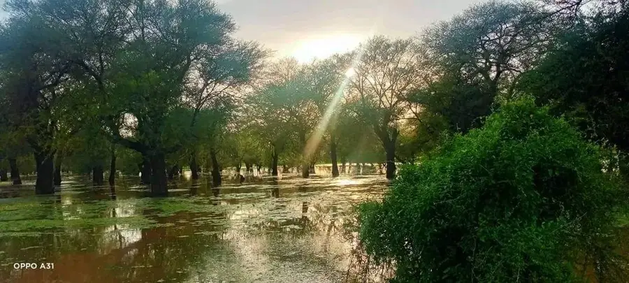
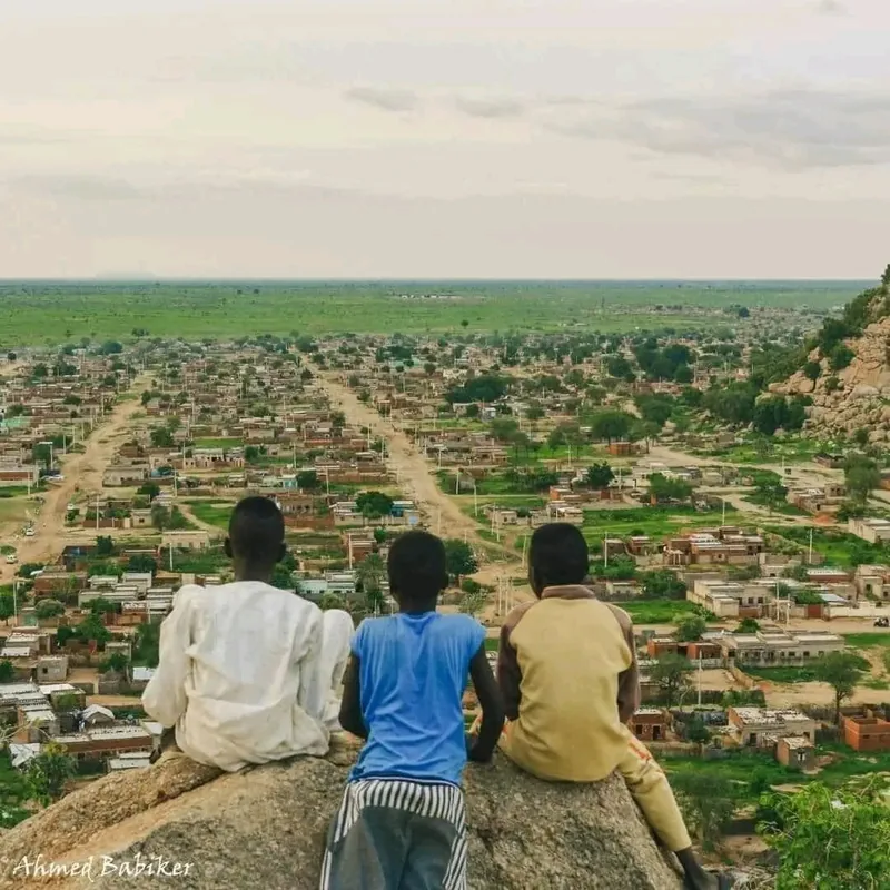
Al-Fulah is the administrative capital of West Kordofan State in central-western Sudan, playing a pivotal role as a logistical and economic anchor in a region vital for the country's oil production. The city's prominence is fundamentally tied to the nearby oil fields, making it a critical hub for the petroleum industry and a strategic point on the pipeline networks. Geographically, Al-Fulah is situated on the expansive plains of Kordofan, characterized by a semi-arid landscape that transforms during the brief rainy season. Beyond industry, the city is a traditional social center for the Misseriya people, whose pastoralist lifestyle and cattle-herding traditions remain central to the local identity and economy. Al-Fulah functions as the administrative seat of the state government, hosting various regional ministries and judicial bodies. The urban layout consists of a mix of government complexes, industrial facilities, and residential areas that reflect the town's rapid transition from a rural outpost to a provincial capital. Educational institutions in Al-Fulah are increasingly focused on technical training to support the local energy sector. The climate is hot and dry for most of the year, with a monsoon influence that dictates the agricultural cycle of sorghum and millet cultivation in the surrounding areas. As a border-adjacent capital, Al-Fulah is also a key center for regional mediation and trade, balancing the needs of industrial growth with the preservation of tribal customs and social stability.
Explore on the map
How well do you know Sudan?
Find cities, landscapes and regions in 10 varied challenges on the interactive map.
Your journey, your memory
A postcard from Al-Fulah
Turn your own photo into a personal postcard with a local stamp. Free and no sign-up required.
Create a postcard- Location: Sudan
- Nearby: Babanusa (82 km)
- Population: ~26.020 (2024)
Best time to visit & climate
The most pleasant time to visit is Jan, Nov, Dec.
| Jan | Feb | Mar | Apr | May | Jun | Jul | Aug | Sep | Oct | Nov | Dec | |
|---|---|---|---|---|---|---|---|---|---|---|---|---|
| Avg °C | 23 | 26 | 29 | 32 | 32 | 31 | 28 | 27 | 27 | 28 | 26 | 24 |
| Rain mm | 0 | 0 | 0 | 2 | 33 | 61 | 127 | 145 | 107 | 42 | 0 | 0 |
Geography
Facts
- Administrative capital of West Kordofan State.
- A key logistical center for Sudan's upstream petroleum sector.
- Primary ethnic group is the Misseriya, known for cattle pastoralism.
- Located on the railway connecting Khartoum to Nyala in Darfur.
- Major economic contributor through oil revenues and livestock exports.
- The surrounding region is known for producing gum arabic.
- Hosts several technical colleges and administrative training centers.
- The city's geography features undulating plains and seasonal wadis.
Explore nearby
Notable places around
Route planner — Car & Motorhome
Where do you start? We build the route here, with stops and country notes along the way.
© OpenStreetMap contributors · OpenRouteService
Frequently asked questions
What kind of place is Al-Fula?
Can one visit the city as a tourist?
How are the road connections?
What is the local climate?
What can be found nearby?
Al-Fulah: where is it located?
Al-Fulah: when is the best time to visit?
Al-Fulah: why is it worth visiting?

Nearby cities