Plizio Visual Lab
Picos de Urbión
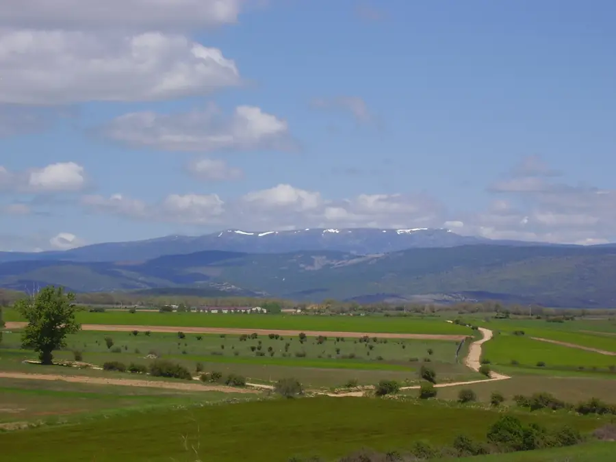
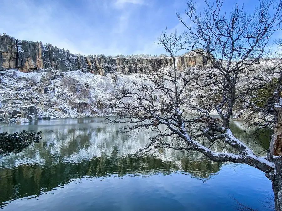
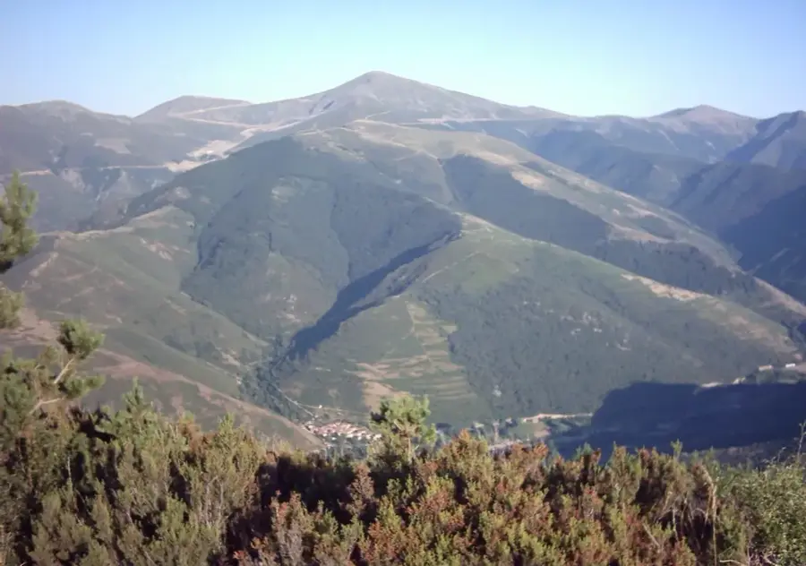
The Picos de Urbión is a prominent mountain range within the Iberian System, spanning the borders of Soria, La Rioja, and Burgos provinces. Its highest peak, Pico Urbión, reaches an elevation of 2,228 meters and is a landmark of the region. Geologically, the massif is defined by glacial remnants, evidenced by several mountain lakes of glacial origin, such as the famous Laguna Negra. This area holds great ecological significance, hosting dense forests of Scots pine and beech, and serving as the source of the Duero River, which begins its 897-kilometer journey to the Atlantic Ocean here. During winter, the range is frequently covered in deep snow, attracting ski mountaineers. The region is also deeply connected to Spanish literature, particularly through the works of poet Antonio Machado, who immortalized the somber beauty of Laguna Negra in his writings.
Explore on the map
How well do you know Spain?
Find cities, landscapes and regions in 10 varied challenges on the interactive map.
Your journey, your memory
A postcard from Picos de Urbión
Turn your own photo into a personal postcard with a local stamp. Free and no sign-up required.
Create a postcard- Location: Castile and León, Spain
- Nearby: Ezcaray (39 km)
Best time to visit & climate
The most pleasant time to visit is Jun–Aug.
| Jan | Feb | Mar | Apr | May | Jun | Jul | Aug | Sep | Oct | Nov | Dec | |
|---|---|---|---|---|---|---|---|---|---|---|---|---|
| Avg °C | 1 | 2 | 4 | 7 | 11 | 16 | 18 | 18 | 15 | 10 | 5 | 2 |
| Rain mm | 50 | 40 | 52 | 58 | 54 | 46 | 24 | 21 | 29 | 59 | 60 | 46 |
📋 Practical info
Geography
Facts
- Pico Urbión is the range's highest point at 2,228 meters above sea level.
- The source of the Duero River is located at an altitude of approximately 2,140 meters.
- Laguna Negra sits at 1,753 meters, surrounded by dramatic rock cliffs.
- The mountains were formed by tectonic uplift during the Tertiary period.
- The forests are home to endangered species like the Iberian wolf.
- The GR-86 long-distance hiking trail passes through the Picos de Urbión.
Explore nearby
Notable places around
Route planner — Car & Motorhome
Where do you start? We build the route here, with stops and country notes along the way.
© OpenStreetMap contributors · OpenRouteService
Sights nearby
Frequently asked questions
Where does the Duero River rise?
What is Laguna Negra?
Can you drive to the summit?
Is there snow in winter?
How long does the hike to Pico de Urbión take?
Picos de Urbión: where is it located?
Picos de Urbión: when is the best time to visit?
Picos de Urbión: why is it worth visiting?

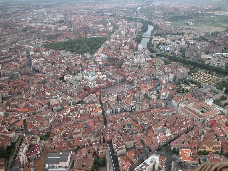
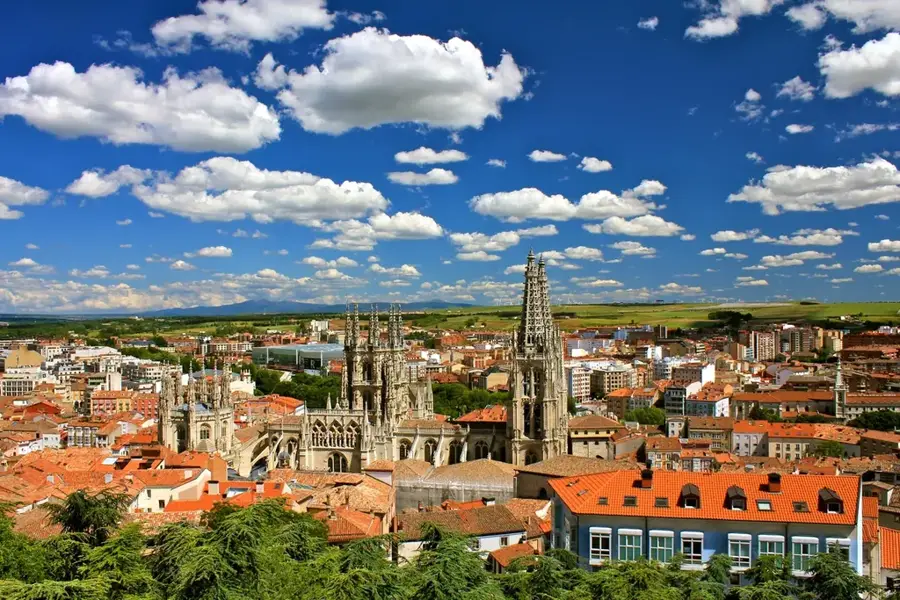
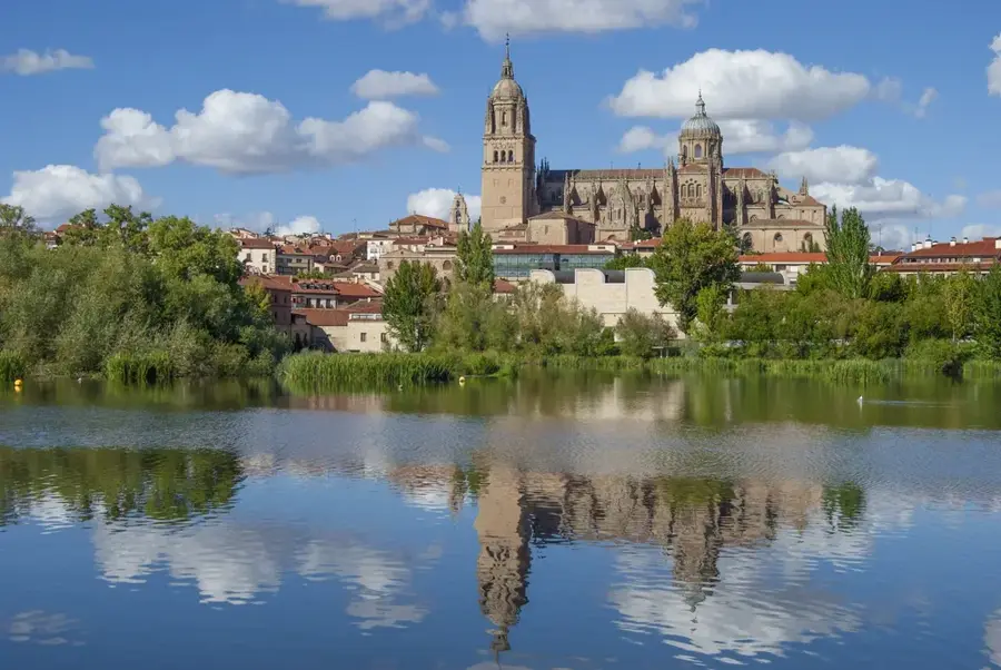
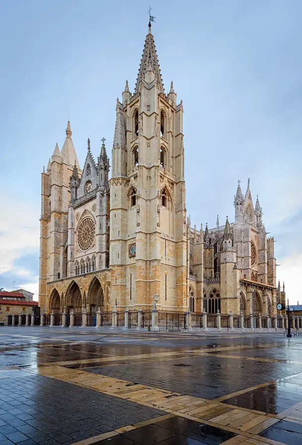
Nearby cities
History & landmarks

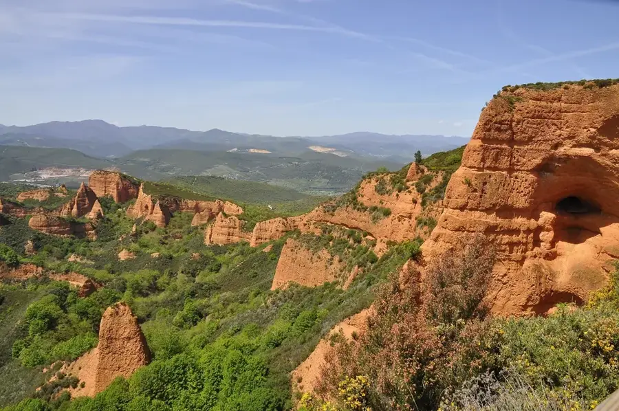
Nature
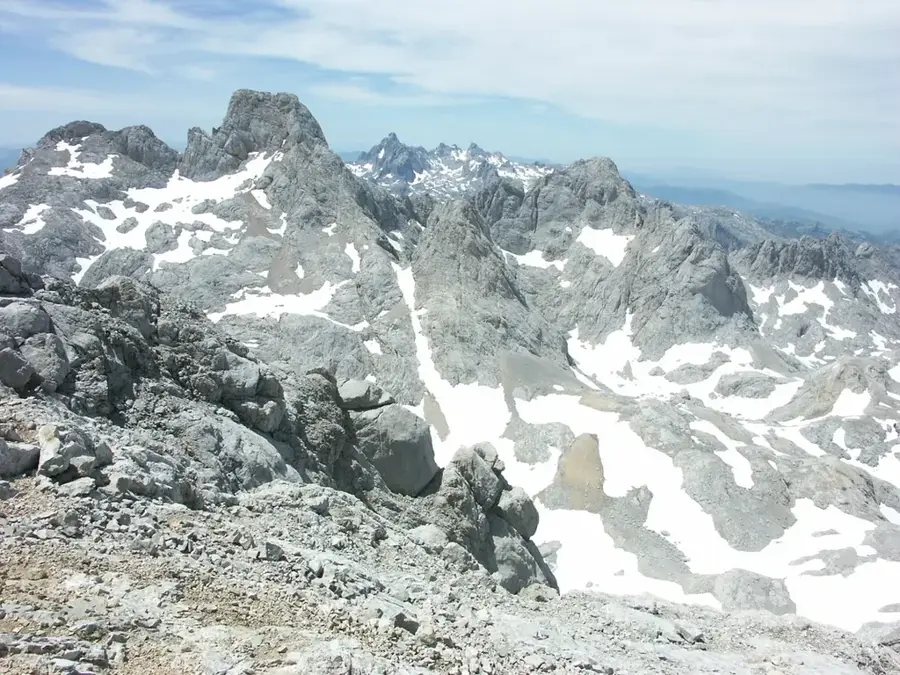
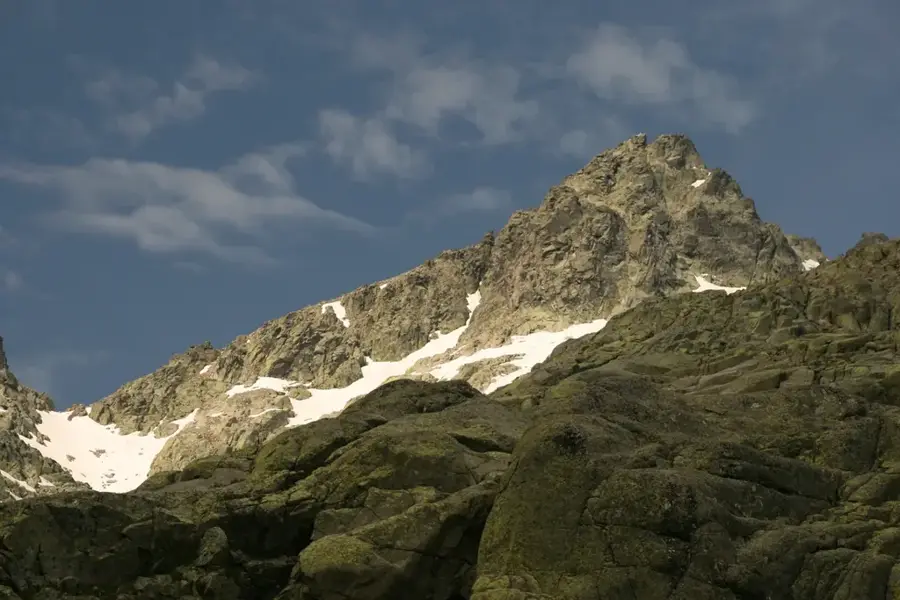
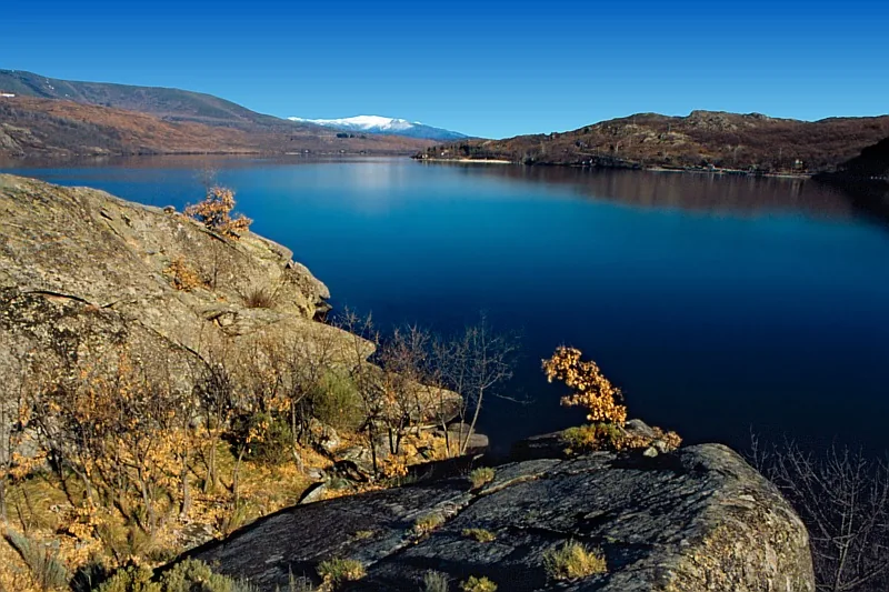
More places