Plizio Visual Lab
Springbok
ℹ️Practical info — Springbok
▾
🌤 Weather — 5 days
📍 Nearby
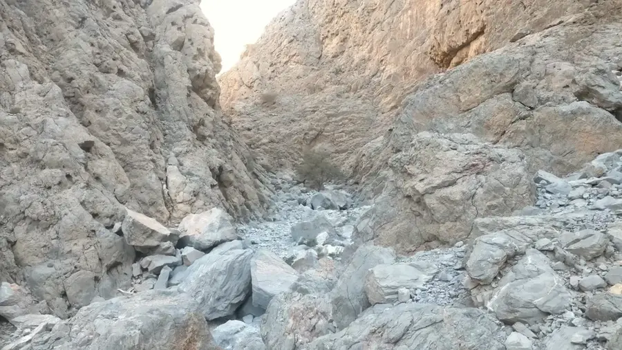
Sights nearby
💡 Tips
- Time your visit for August or September to witness the world-famous Namaqualand wildflower bloom.
- Visit the Goegap Nature Reserve shortly after sunrise for the best photographic lighting and cooler weather.
- Stock up on supplies here as it is the last major commercial hub before heading to Namibia or remote areas.
- Hike up the central 'Koppie' (hill) for a great viewpoint over the town and the surrounding granite domes.
- Ensure your spare tire is in good condition, as many roads in the surrounding region are gravel.
🍽 Food
The region is famous for its lamb; look for local steakhouses for an authentic roasted dish.
Visit local butcheries for high-quality dried game meat, a staple of the region.
Traditional bread grilled over an open fire, often sold at roadside stalls or farm markets.
🛍 Shopping · 🧘 Quiet spots
Purchase handmade baskets, rugs, and jewelry created by local artisans.
The best place to stock up on meat and biltong before long drives into the interior.
Find photo books and products inspired by the annual wildflower season.
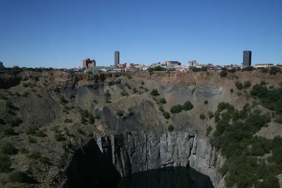
Visit the site of South Africa's first commercial mine for a quiet, historical walk.
Away from the main drive, these trails offer total silence and immersion in the desert landscape.
A small green space in the center of town for a quick break in the shade.
Water temperature…
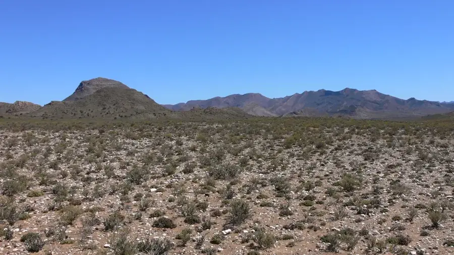
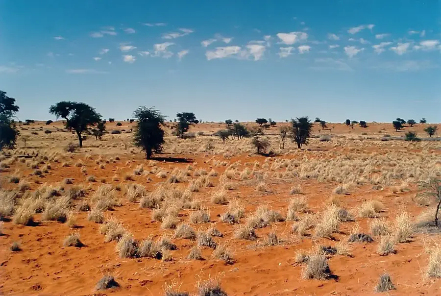
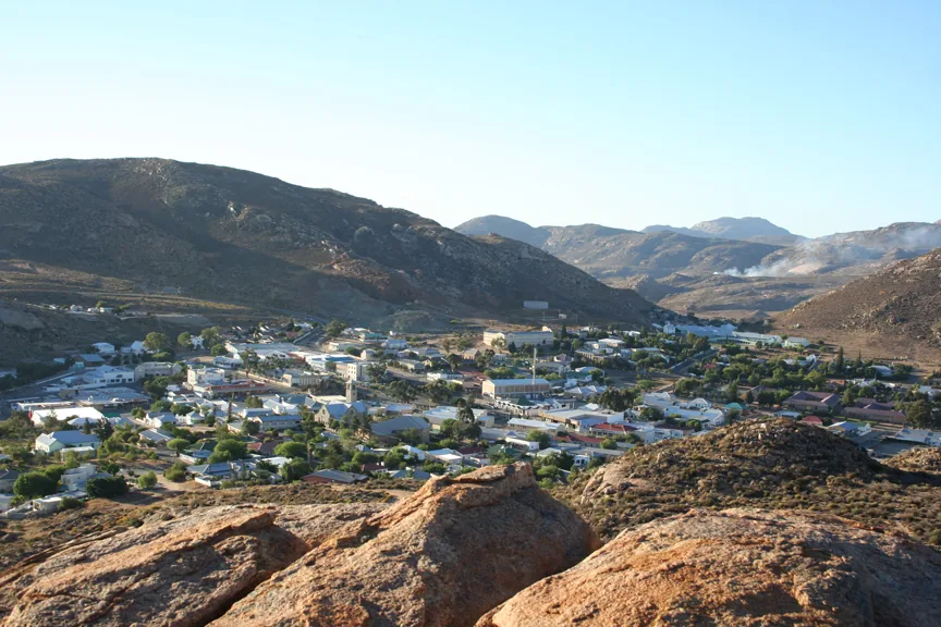
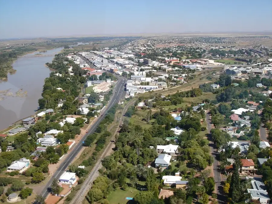
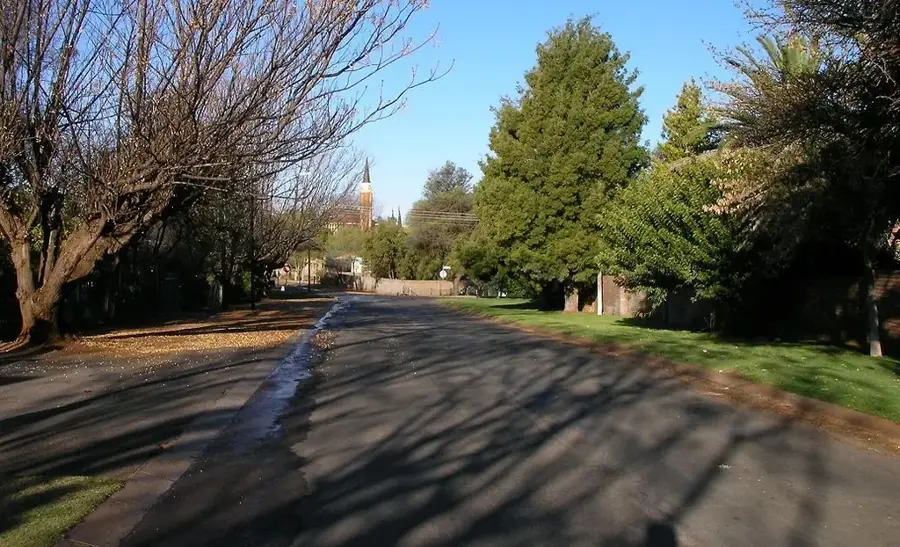
Springbok serves as the primary economic and administrative hub of the Namaqualand region within the Northern Cape province. Founded in 1862 as Springbokfontein, the town emerged following the discovery of significant copper deposits, marking the start of South Africa's first commercial mining operations. Today, the settlement is globally renowned for the spectacular spring wildflower display, where the arid semi-desert transforms into a bustling floral carpet following winter rains. Geographically, Springbok is set in a narrow valley between the granite hills of the Kamiesberge at an elevation of roughly 1000 meters above sea level. The town is a strategic stopover on the N7 national road, which connects South Africa with Namibia. Beyond tourism, the local economy relies heavily on trade and services for the surrounding sheep and goat farming community.
- Location: South Africa
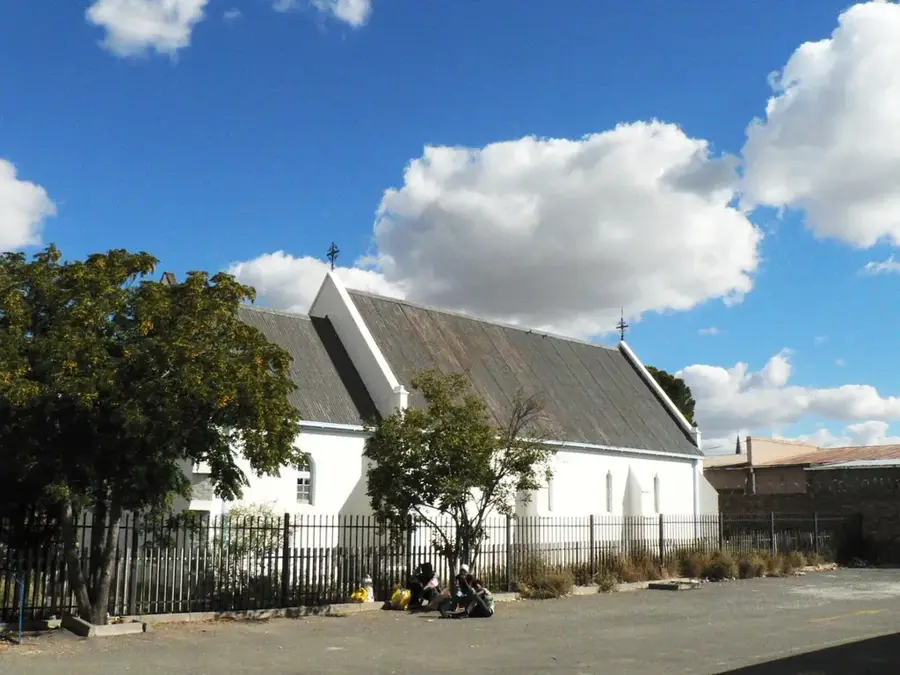
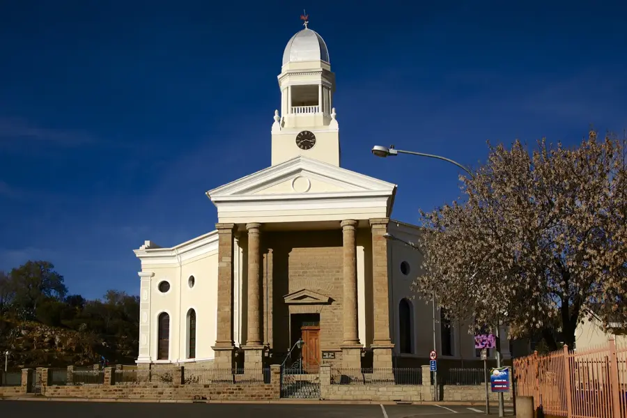
- Top sights: Namakwaland Museum · Die Klipkoppie
- Population: ~10.438 (2012)
Best time to visit & climate
The most pleasant time to visit is Mar, Nov, Dec.
| Jan | Feb | Mar | Apr | May | Jun | Jul | Aug | Sep | Oct | Nov | Dec | |
|---|---|---|---|---|---|---|---|---|---|---|---|---|
| Avg °C | 24 | 25 | 23 | 19 | 15 | 11 | 11 | 11 | 15 | 18 | 21 | 23 |
| Rain mm | 10 | 10 | 10 | 17 | 16 | 24 | 22 | 24 | 10 | 9 | 12 | 5 |
Geography
Facts
- Founded in 1862 following the discovery of copper
- Situated at an altitude of approximately 1000 meters
- Major stop on the N7 highway linking Cape Town to Namibia
- Gateway to the Namaqua National Park's floral displays
- Site of the first commercial mining lease in South Africa
- Annual rainfall typically averages below 200 millimeters
Explore nearby
Notable places around
Route planner — Car & Motorhome
Where do you start? We build the route here, with stops and country notes along the way.
© OpenStreetMap contributors · OpenRouteService
Sights in the town Springbok (2)
Frequently asked questions
Where is Springbok located?
What is the highlight?
Is it hot?
Do I need a car?
Is there water?
Springbok: where is it located?
Springbok: what is there to see?
Springbok: when is the best time to visit?
Springbok: why is it worth visiting?

Nearby cities
History & landmarks
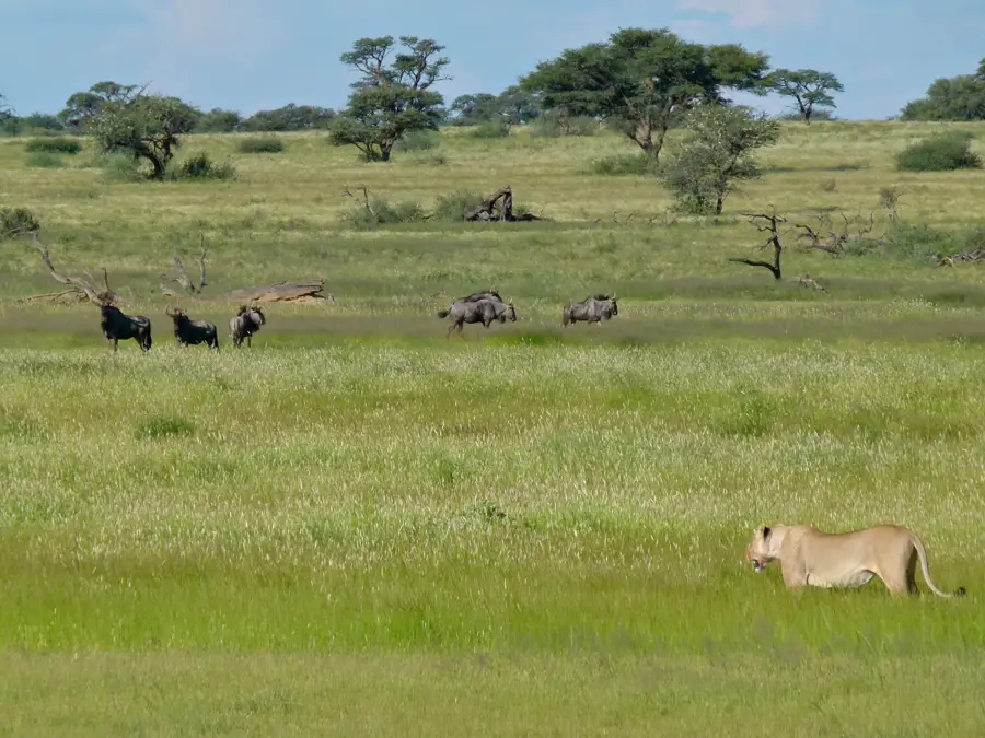
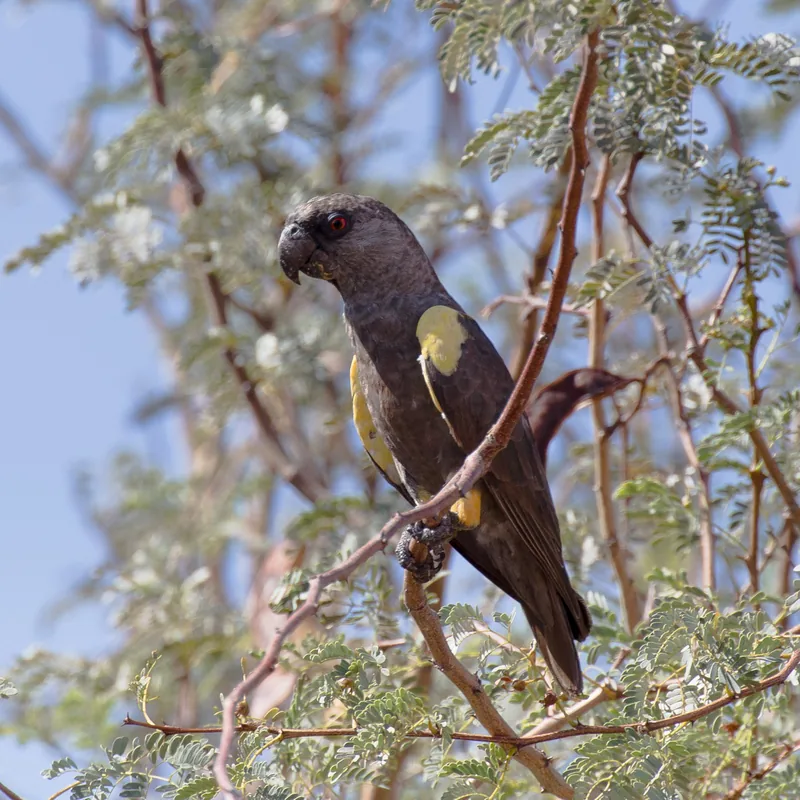
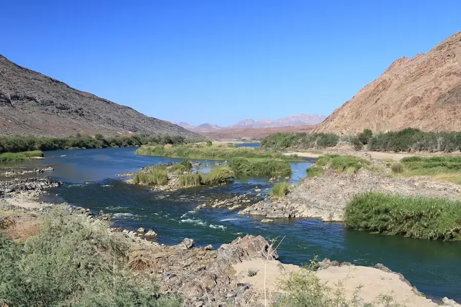
Nature
More places