Plizio Visual Lab
Harrismith
ℹ️Practical info — Harrismith
▾
🌤 Weather — 5 days
📍 Nearby
Sights nearby
💡 Tips
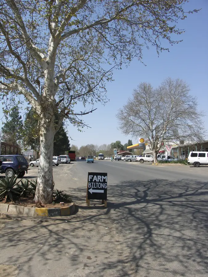
- Plan Harrismith as a major stopover on the N3 highway between Johannesburg and Durban.
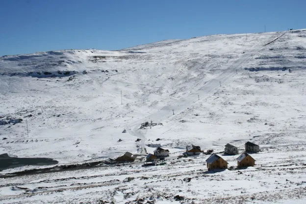
- Hike the Platberg mountain for striking views, but be prepared for sudden weather changes.
- Visit the nearby Sterkfontein Dam for fishing or sailing opportunities.
- Expect strong winds and very cold nights in winter; warm clothing is essential.
- Utilize the fuel stops at the Bergview complex, which offer good facilities and rest areas.
🍽 Food
Buy fresh biltong and droëwors at the shops within the Bergview complex.
Look for guesthouses in the area serving hearty 'Boerekos' (farmer food).
Visit local cafes for fresh scones and traditional South African milk tart.
🛍 Shopping · 🧘 Quiet spots
The go-to spot for travel essentials, souvenirs, and local delicacies.
Due to the region's sheep farming, you can find high-quality knitted goods here.
Find a few small shops in the town center selling historical items from the area.
A botanical garden at the foot of Platberg, especially beautiful in spring.
Once you've climbed up, the vastness of the mountain has absolute peace and solitude.
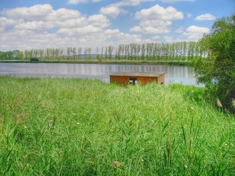
Look for secluded spots by the dam for quiet waterbird watching.
Water temperature…
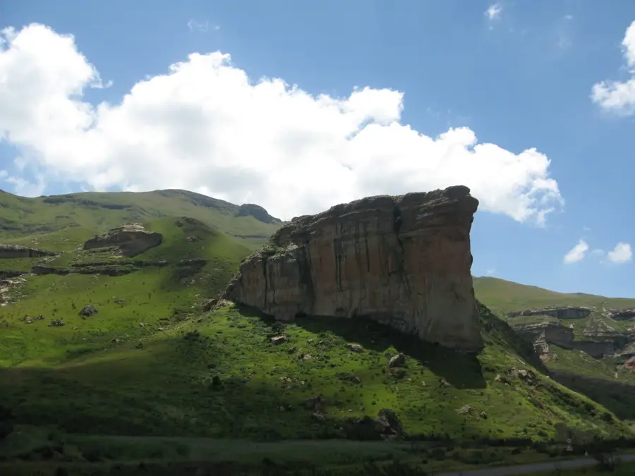
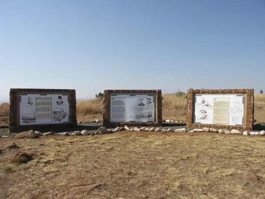
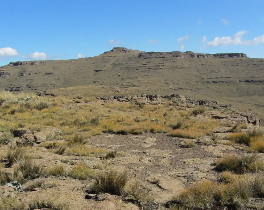
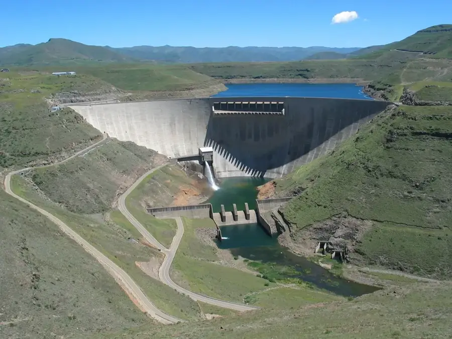
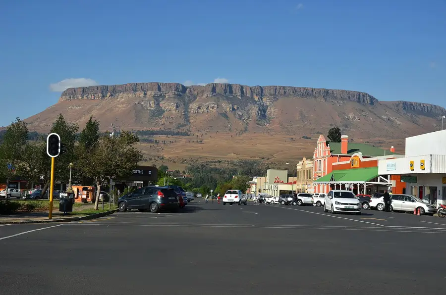
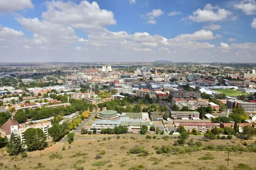
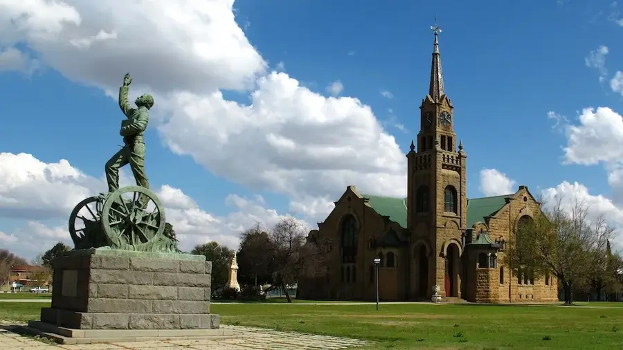
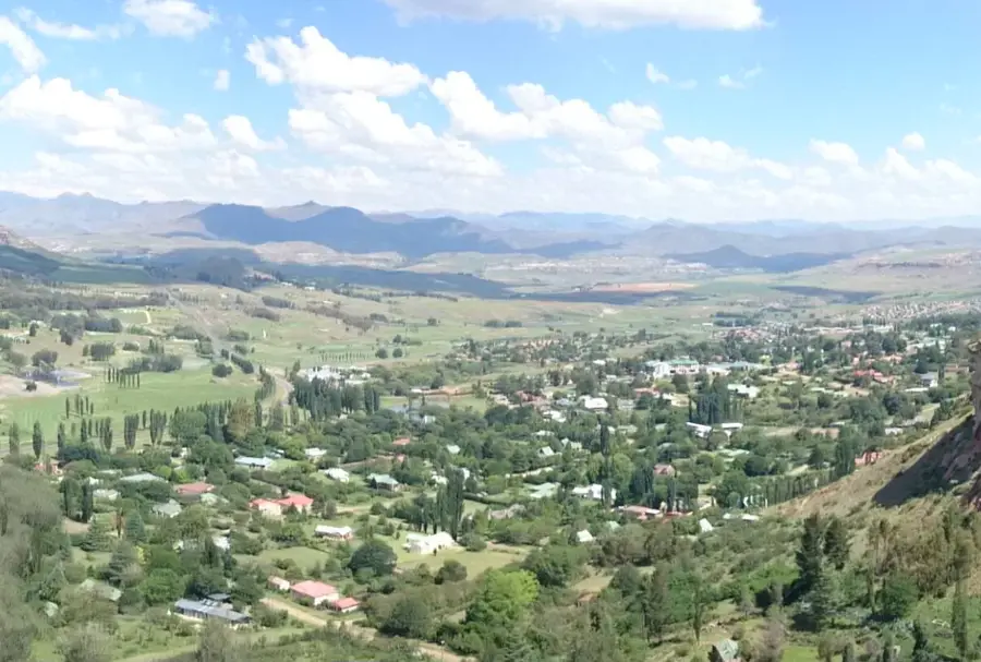
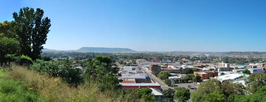
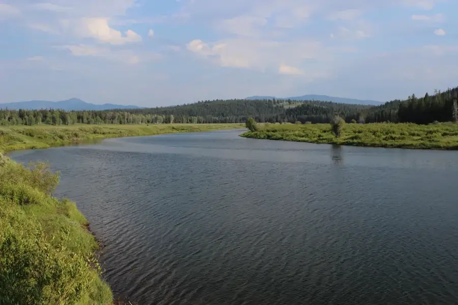
Harrismith was founded in 1849 and is strategically located at the foot of the prominent Platberg mountain in the eastern Free State. The town serves as a vital transit point and logistics hub on the N3 national highway, linking the industrial heartland of Gauteng with the Port of Durban. Geographically positioned on the banks of the Wilge River, it acts as the primary gateway to the northern Drakensberg range and the nearby Sterkfontein Dam. The local economy is traditionally rooted in sheep farming and crop production, though it has recently evolved into a center for light industry and trucking services. Due to its high elevation of over 1,600 meters, Harrismith is renowned for its crisp mountain air and occasional winter snowfalls. Natural landmarks include the flat-topped Platberg, which hosts the grueling annual 'Platberg Mountain Race.' The town preserves a rich history through its colonial sandstone architecture and various memorials from the Anglo-Boer War period.
- Location: South Africa
- Nearby: Phuthaditjhaba (42 km)
- Population: ~33.390 (2024)
Best time to visit & climate
The most pleasant time to visit is Feb, Sep, Oct.
| Jan | Feb | Mar | Apr | May | Jun | Jul | Aug | Sep | Oct | Nov | Dec | |
|---|---|---|---|---|---|---|---|---|---|---|---|---|
| Avg °C | 18 | 17 | 15 | 12 | 9 | 6 | 6 | 8 | 12 | 15 | 16 | 17 |
| Rain mm | 156 | 122 | 102 | 54 | 14 | 13 | 12 | 21 | 30 | 80 | 109 | 140 |
Geography
Facts
- Founded in 1849 and named after Governor Sir Harry Smith.
- The Platberg mountain stands at 2,394 meters high.
- Home to a 250-million-year-old fossilized tree trunk.
- Major highway junction between KwaZulu-Natal and the interior.
- The nearby Sterkfontein Dam is one of South Africa's deepest.
- Located at an elevation of 1,615 meters above sea level.
Explore nearby
Notable places around
Route planner — Car & Motorhome
Where do you start? We build the route here, with stops and country notes along the way.
© OpenStreetMap contributors · OpenRouteService
Sights in the town Harrismith (1)
Frequently asked questions
How long to stay in Harrismith?
Best season for Harrismith?
How to get to Harrismith?
Are there culinary tips?
Is Harrismith family-friendly?
Harrismith: where is it located?
Harrismith: when is the best time to visit?
Harrismith: why is it worth visiting?

Nearby cities


History & landmarks
Nature

More places