Plizio Visual Lab
Bosaso Port

Weather…
Water temperature…
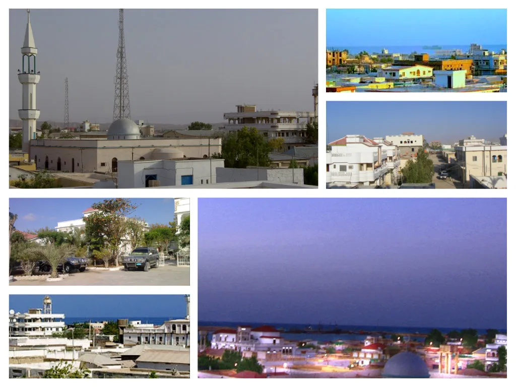
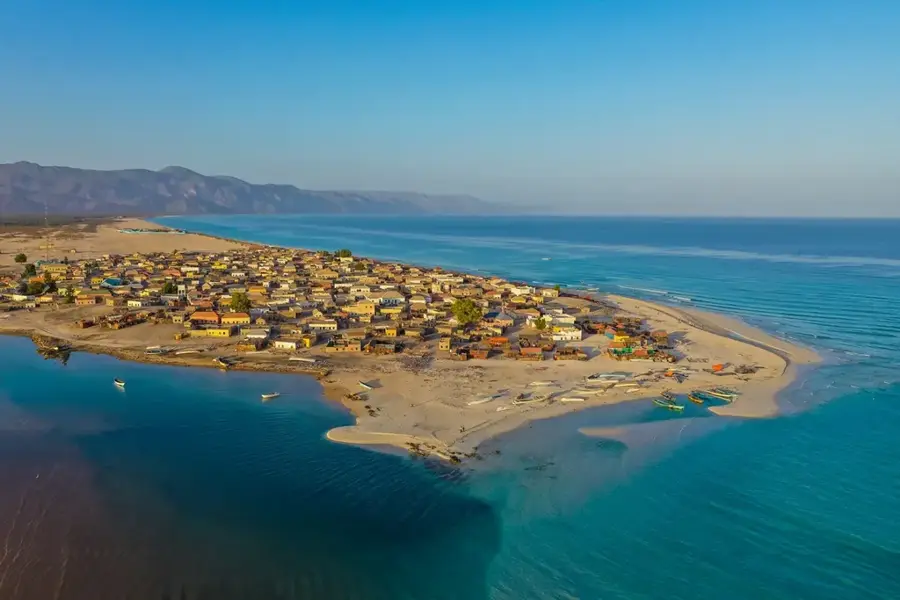
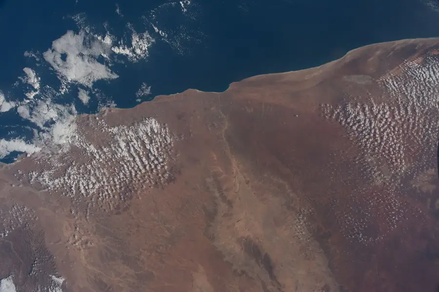
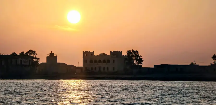
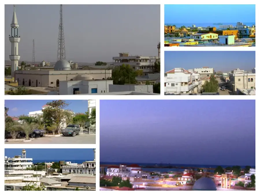
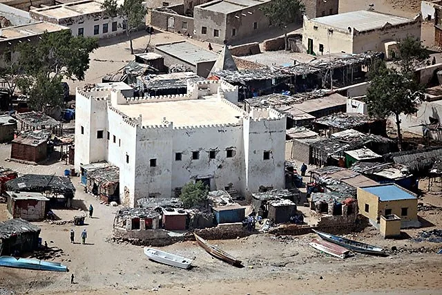
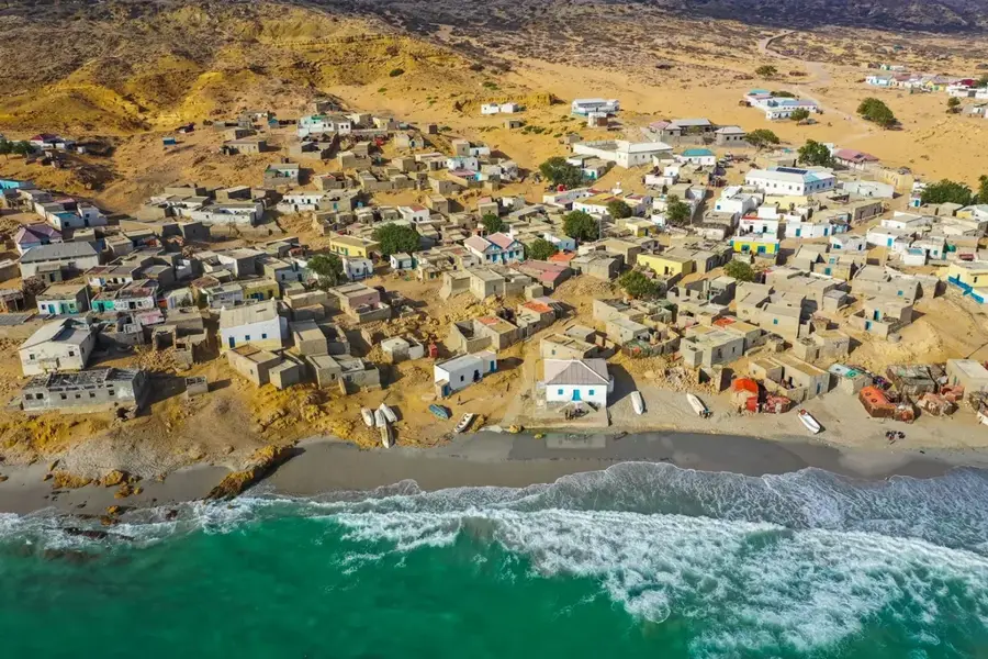
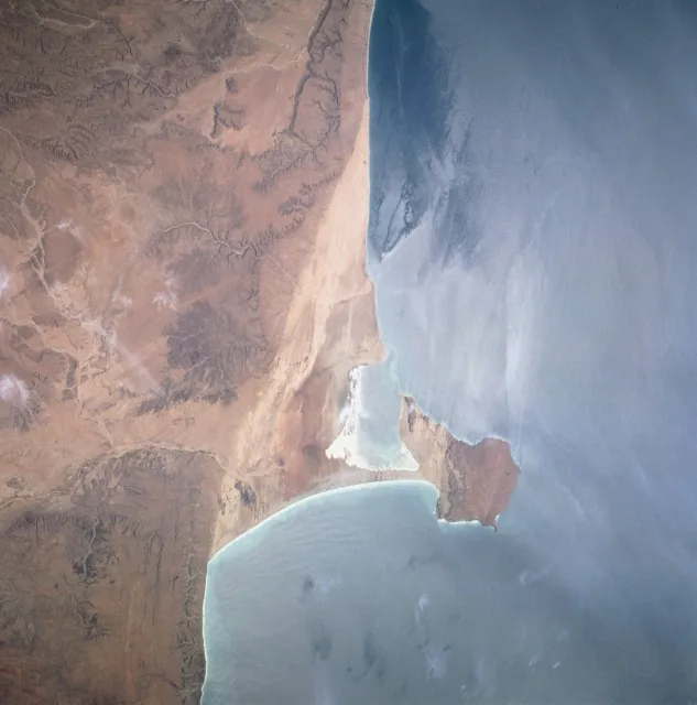
The Port of Bosaso is located on the Gulf of Aden coast in the autonomous Puntland region. It is Puntland's primary port and serves as the gateway for the region's maritime trade. The port has three berths with a total length of about 400 meters and a water depth of up to 12 meters. Bosaso is a hub for the export of live animals, chiefly goats, sheep, and camels, to the Middle East. It also handles imports of food, fuel, and construction materials. The port was modernized after the civil war with assistance from development partners like UNDP and the Somali diaspora. Annual cargo throughput is around 1 million tonnes. The port is vital to Puntland's economy, providing indirect employment to thousands. However, it suffers from operational inefficiencies and lacks modern equipment. Plans for expansion and privatization are under discussion, but progress is slow due to political and financial constraints.
- Location: Somalia
- Nearby: Qandala (78 km)
Best time to visit & climate
The most pleasant time to visit is Jan, Feb, Dec.
| Jan | Feb | Mar | Apr | May | Jun | Jul | Aug | Sep | Oct | Nov | Dec | |
|---|---|---|---|---|---|---|---|---|---|---|---|---|
| Avg °C | 24 | 25 | 26 | 28 | 30 | 32 | 32 | 32 | 31 | 28 | 26 | 25 |
| Rain mm | 1 | 0 | 1 | 7 | 5 | 3 | 0 | 3 | 4 | 3 | 4 | 2 |
📋 Practical info
Geography
Facts
- Bosaso Port has three berths.
- Total berth length is 400 meters.
- Maximum water depth is 12 meters.
- Annual throughput is approximately 1 million tonnes.
- The port is located at 11° N, 50° E.
- Distance to Mogadishu is 1,200 km.
Explore nearby
Notable places around
Route planner — Car & Motorhome
Where do you start? We build the route here, with stops and country notes along the way.
© OpenStreetMap contributors · OpenRouteService
Sights in the town Bosaso Port (1)
Sights nearby
Frequently asked questions
What role does the port of Bosaso play?
Is the port public?
What is nearby?
When is a good time?
Is it safe?
Bosaso Port: where is it located?
Bosaso Port: when is the best time to visit?
Bosaso Port: why is it worth visiting?

Nearby cities
History & landmarks

Nature
More places