Plizio Visual Lab
Škofja Loka Hills
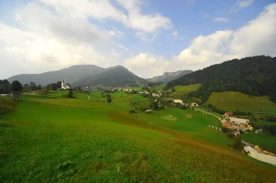
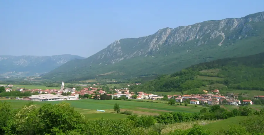
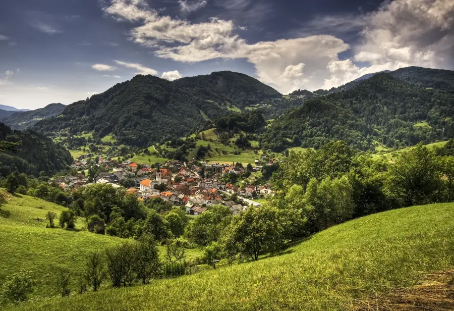
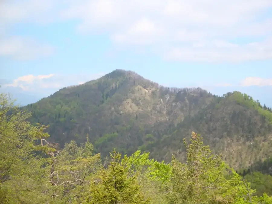
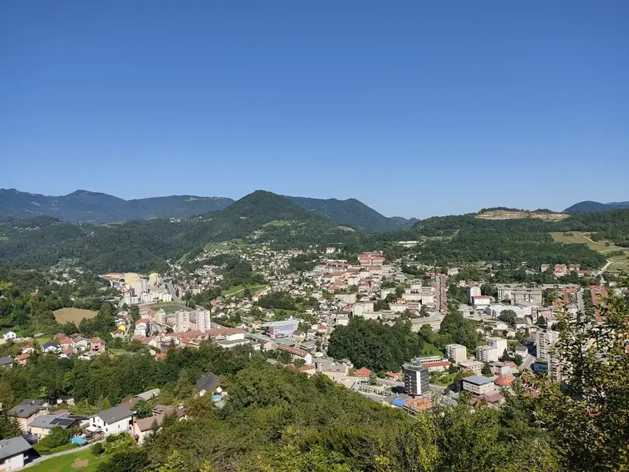
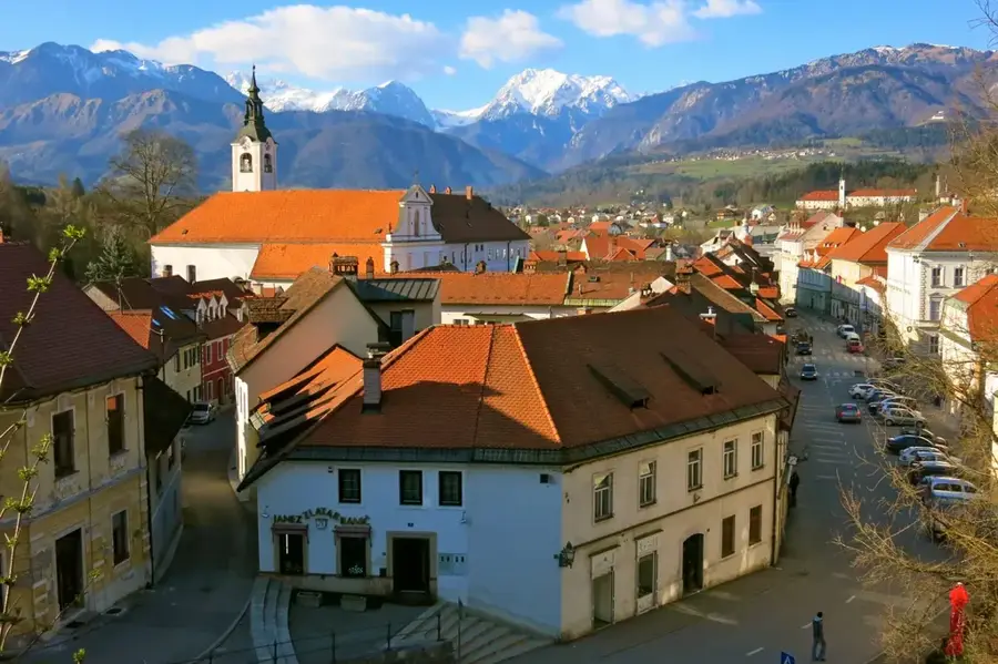
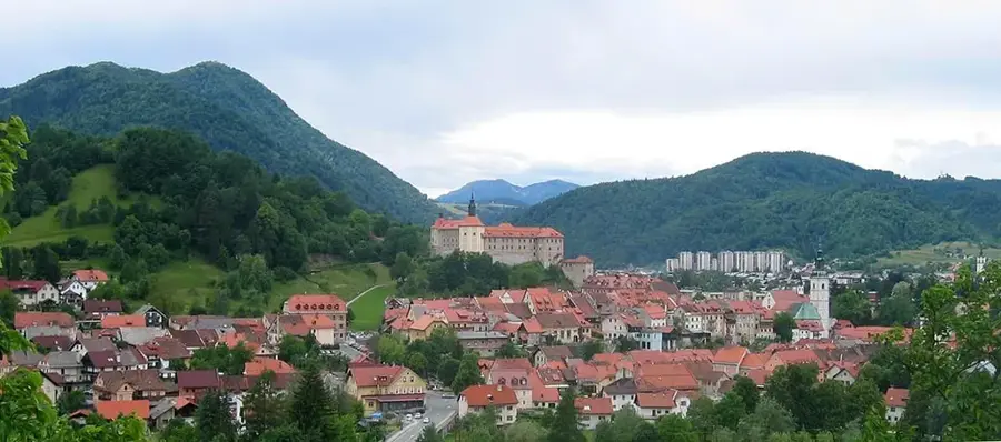
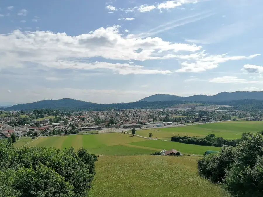
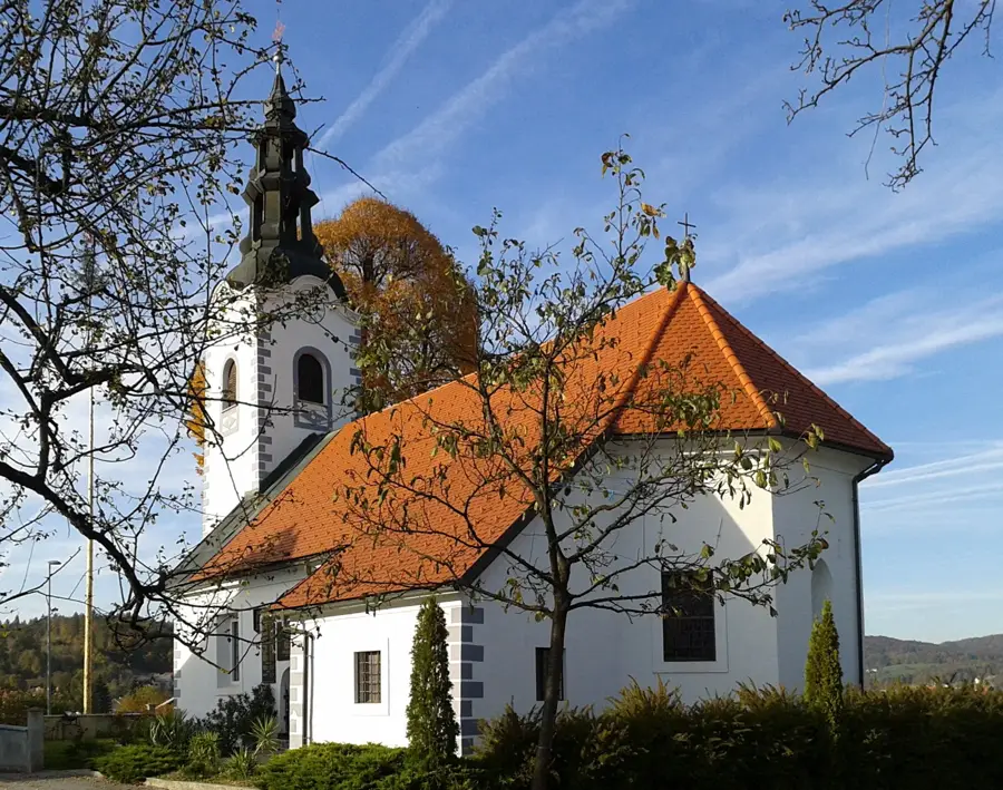
The Škofja Loka Hills (Škofjeloško hribovje) are a pre-alpine upland region in western Slovenia, celebrated for their easy on the eye landscapes and scattered settlements. The range extends between the Poljane and Selca Valleys, reaching its highest points at Ratitovec and Blegoš. Historically, the area was defined by forestry and small-scale farming, creating a unique cultural landscape characterized by steep pastures and traditional wooden hayracks. The villages often retain their heritage architecture and are interconnected by a dense network of hiking trails that offer sweeping views of the Julian Alps. Geologically, the hills consist of a mix of limestone and shale, supporting diverse plant life and varied topography. Today, the Škofja Loka Hills are a favored destination for hikers and mountain bikers seeking tranquility away from major tourist hubs.
Explore on the map
How well do you know Slovenia?
Find cities, landscapes and regions in 10 varied challenges on the interactive map.
Your journey, your memory
A postcard from Škofja Loka Hills
Turn your own photo into a personal postcard with a local stamp. Free and no sign-up required.
Create a postcard- Location: Slovenia
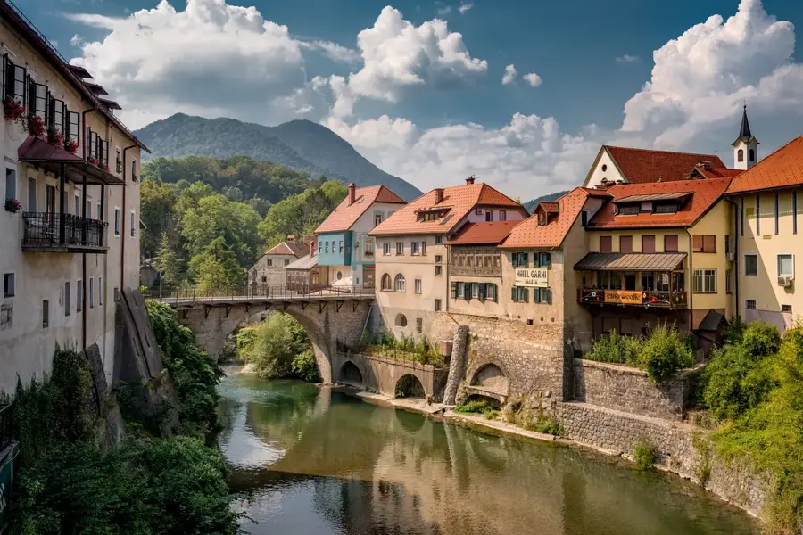
- Highlights: Capuchin Monastery · Zgornji stolp na Kranclju · Škofjeloški grad
- Nearby: Medvode (9 km)
Best time to visit & climate
The most pleasant time to visit is Jun–Aug.
| Jan | Feb | Mar | Apr | May | Jun | Jul | Aug | Sep | Oct | Nov | Dec | |
|---|---|---|---|---|---|---|---|---|---|---|---|---|
| Avg °C | -1 | 0 | 4 | 9 | 14 | 18 | 20 | 20 | 15 | 10 | 5 | 0 |
| Rain mm | 60 | 73 | 71 | 73 | 96 | 88 | 83 | 94 | 118 | 104 | 109 | 85 |
📋 Practical info
Geography
Facts
- Highest peak is Ratitovec at 1,678 meters
- Famous for Blegoš, a popular mountain for panoramic views
- The region has a long tradition of ironworking and crafts
- Home to the oldest Slovenian Passion Play (Škofja Loka)
- Dominated by traditional 'toplar' double hayracks
- Crucial corridor for wildlife including deer and chamois
Explore nearby
Notable places around

Route planner — Car & Motorhome
Where do you start? We build the route here, with stops and country notes along the way.
© OpenStreetMap contributors · OpenRouteService
Sights in the town Škofja Loka Hills (10)
Galerija Ivana Groharja
Gallery in Škofja Loka, named after Slovenian painter Ivan Grohar.
Cerkev Sv. Jakoba
Church in Škofja Loka, Slovenia, dedicated to Saint James.
Starološki grad🏰 castle
Castle in Škofja Loka, Slovenia, dating from the 13th century.
Kužno znamenje
Plague column or plague monument in Škofja Loka.
Puštalski grad🏰 castle
Castle ruins near Škofja Loka.
Stari grad / Divja Loka
Archaeological site of a former castle near Škofja Loka.
Sights nearby
Frequently asked questions
What is the most popular peak?
Are the trails marked?
Are there mountain huts?
Can you hike there in winter?
How far is it from Ljubljana?
Škofja Loka Hills: where is it located?
Škofja Loka Hills: what is there to see?
Škofja Loka Hills: when is the best time to visit?
Škofja Loka Hills: why is it worth visiting?

Nearby cities
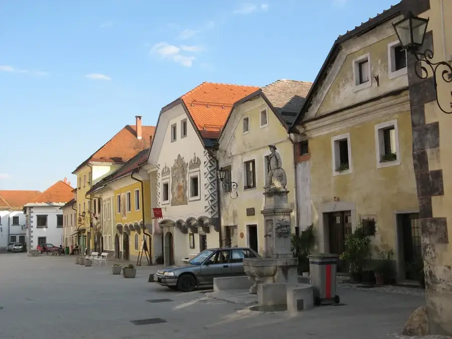
History & landmarks