Plizio Visual Lab
MacRitchie Reservoir Park
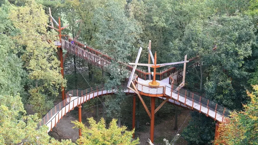
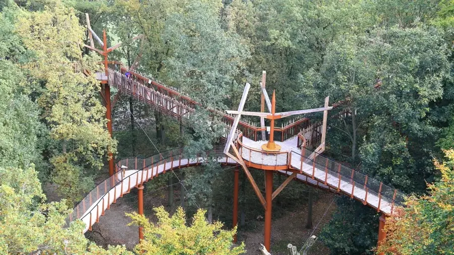
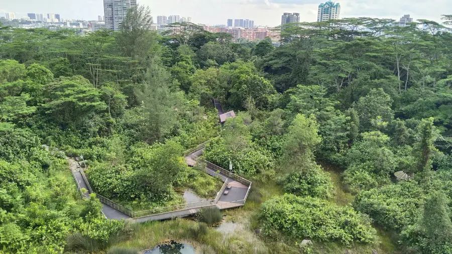
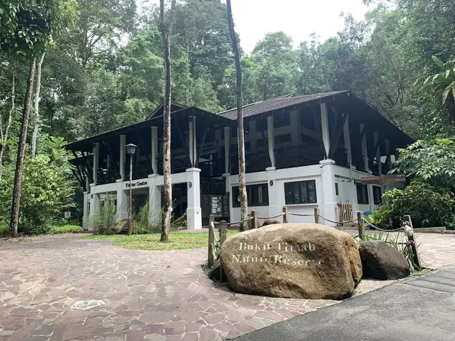
MacRitchie Reservoir Park serves as Singapore's oldest impounding reservoir and a vital ecological heart within the Central Catchment Nature Reserve. Completed in 1868 to address the city's urgent need for a reliable freshwater supply, the reservoir was later named in honor of James MacRitchie, the municipal engineer who directed its expansion during the 1890s. Today, the park has evolved into a premier destination for outdoor recreation and nature immersion. Its most celebrated feature is the TreeTop Walk, a 250-meter-long free-standing suspension bridge that spans the forest canopy, offering visitors a bird's-eye view of the lush secondary forest. Numerous trails, ranging from easy boardwalks to challenging dirt paths, encircle the reservoir, providing opportunities to spot long-tailed macaques, monitor lizards, and diverse bird species in their natural habitat. The site is also a popular venue for water sports such as kayaking and canoeing. As a cornerstone of Singapore's natural heritage, MacRitchie provides a necessary balance between urban development and environmental conservation.
Explore on the map
How well do you know Singapore?
Find cities, landscapes and regions in 10 varied challenges on the interactive map.
Your journey, your memory
A postcard from MacRitchie Reservoir Park
Turn your own photo into a personal postcard with a local stamp. Free and no sign-up required.
Create a postcard- Location: Singapore
- Highlights: Taylors Arts Studio · St. Pius X Priory · Hai Lam Sua Tee Kong Toa Temple
- Nearby: Serangoon (4 km)
Best time to visit & climate
The most pleasant time to visit is Feb, Mar, Sep.
| Jan | Feb | Mar | Apr | May | Jun | Jul | Aug | Sep | Oct | Nov | Dec | |
|---|---|---|---|---|---|---|---|---|---|---|---|---|
| Avg °C | 26 | 26 | 27 | 28 | 28 | 28 | 27 | 27 | 27 | 27 | 27 | 26 |
| Rain mm | 235 | 102 | 168 | 193 | 199 | 164 | 174 | 173 | 167 | 210 | 283 | 300 |
📋 Practical info
Geography
Facts
- The reservoir was completed in 1868 as Singapore's first large-scale water project.
- The TreeTop Walk is a 250-meter suspension bridge hovering 25 meters above the ground.
- The park covers roughly 12 hectares within a massive forested catchment area.
- The highest point in the park is Bukit Kalang, featuring a prominent observation tower.
- The full hiking loop around the reservoir measures approximately 11 kilometers.
- The reservoir is named after James MacRitchie, who served as municipal engineer until 1895.
Explore nearby
Notable places around
Route planner — Car & Motorhome
Where do you start? We build the route here, with stops and country notes along the way.
© OpenStreetMap contributors · OpenRouteService
Sights in the town MacRitchie Reservoir Park (6)
Sights nearby
Frequently asked questions
Are there hiking trails at MacRitchie Reservoir?
Do I need to be careful with monkeys?
Can I kayak there?
Is it safe to hike alone?
Are there public toilets?
MacRitchie Reservoir Park: where is it located?
MacRitchie Reservoir Park: what is there to see?
MacRitchie Reservoir Park: when is the best time to visit?
MacRitchie Reservoir Park: why is it worth visiting?

Nearby cities


History & landmarks


Nature
More places