Plizio Visual Lab
Sewa River
Weather…
Water temperature…
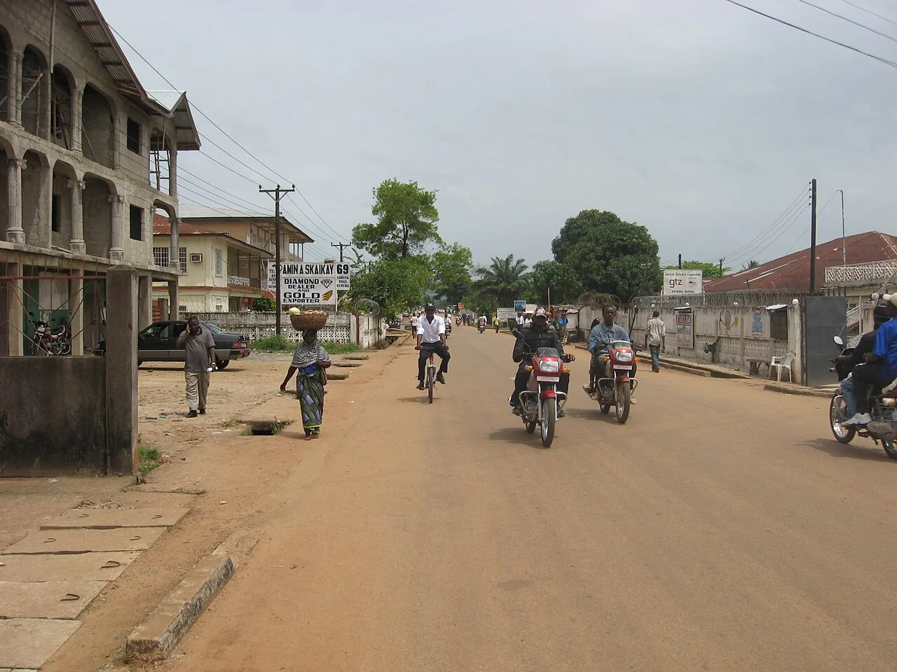
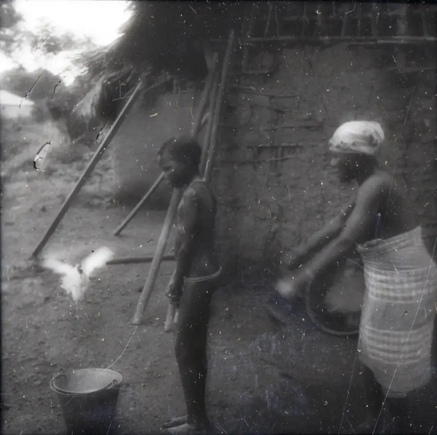
The Sewa River is a river approximately 385 kilometers (240 miles) long in eastern and southern Sierra Leone, formed by the junction of the Bagbe and Bafi rivers. Geographically, it is of immense importance as its drainage basin encompasses some of the most mineral-rich areas of the country. The river is globally renowned for its alluvial diamond deposits, which have been mined in the Kono District since the 1930s. Along its course, the Sewa traverses dense tropical vegetation and forms numerous meanders before joining the Waanje River in the south to form the Kittam River. Historically, diamond mining along the Sewa has significantly shaped Sierra Leone's economic development, though it was also closely linked to social challenges during the civil war. Beyond mining, the river is an essential resource for rice cultivation and inland fishing for the local Mende population. The water volume fluctuates greatly between the rainy and dry seasons, directly impacting artisanal mining activities.
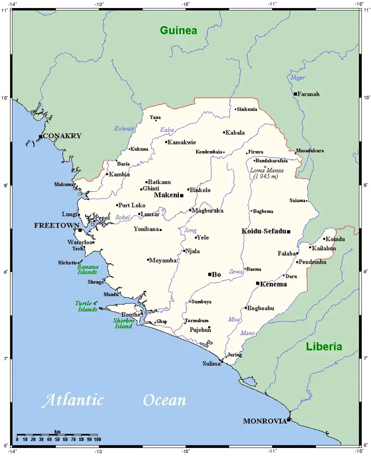
- Location: Sierra Leone
- Nearby: Pujehun (29 km)
Best time to visit & climate
The most pleasant time to visit is Jan, Feb, Dec.
| Jan | Feb | Mar | Apr | May | Jun | Jul | Aug | Sep | Oct | Nov | Dec | |
|---|---|---|---|---|---|---|---|---|---|---|---|---|
| Avg °C | 26 | 27 | 27 | 27 | 27 | 26 | 25 | 24 | 25 | 26 | 26 | 26 |
| Rain mm | 4 | 12 | 25 | 46 | 107 | 278 | 392 | 474 | 331 | 215 | 65 | 20 |
📋 Practical info
Geography
Facts
- The Sewa is formed by the confluence of the Bagbe and Bafi rivers.
- It is the primary source of alluvial diamonds in West Africa.
- The river passes through the diamond-rich fields of the Kono District.
- In its lower reaches, it joins the Waanje to form the Kittam River.
- The Sewa basin is a major region for swamp rice cultivation.
- Significant towns like Jaiama and Boajibu are located along its banks.
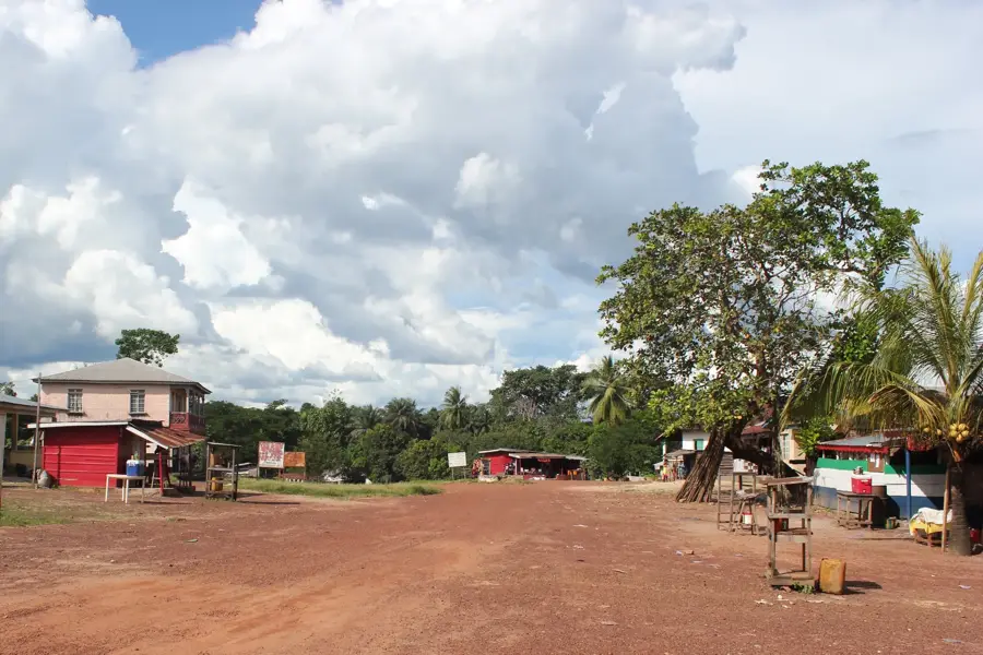
Explore nearby
Notable places around
Route planner — Car & Motorhome
Where do you start? We build the route here, with stops and country notes along the way.
© OpenStreetMap contributors · OpenRouteService
Sights nearby
Frequently asked questions
What is the importance of the Sewa River for the region?
Can you reach the river easily?
Are there organized tours on the Sewa?
When is the water level highest?
Is the river ecologically significant?
Sewa River: where is it located?
Sewa River: when is the best time to visit?
Sewa River: why is it worth visiting?

Nearby cities

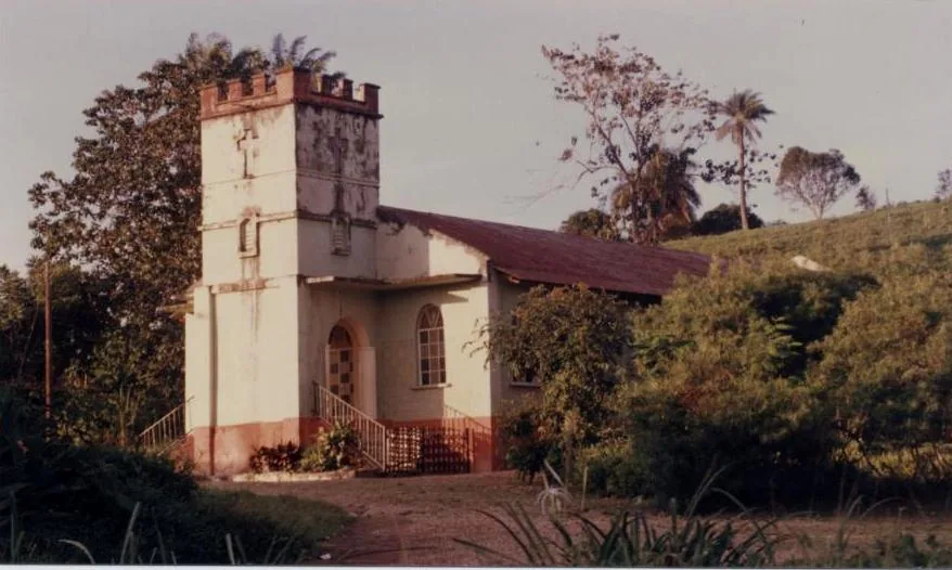


History & landmarks
Nature
More places