Plizio Visual Lab
Stara Planina

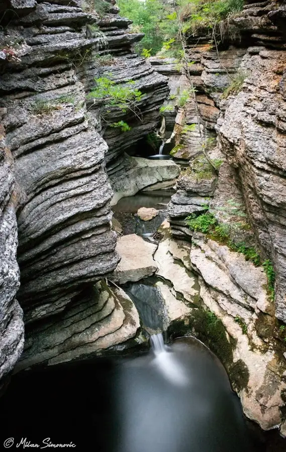
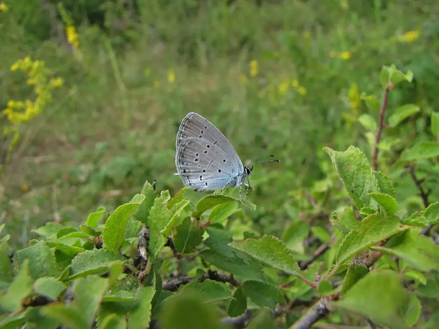
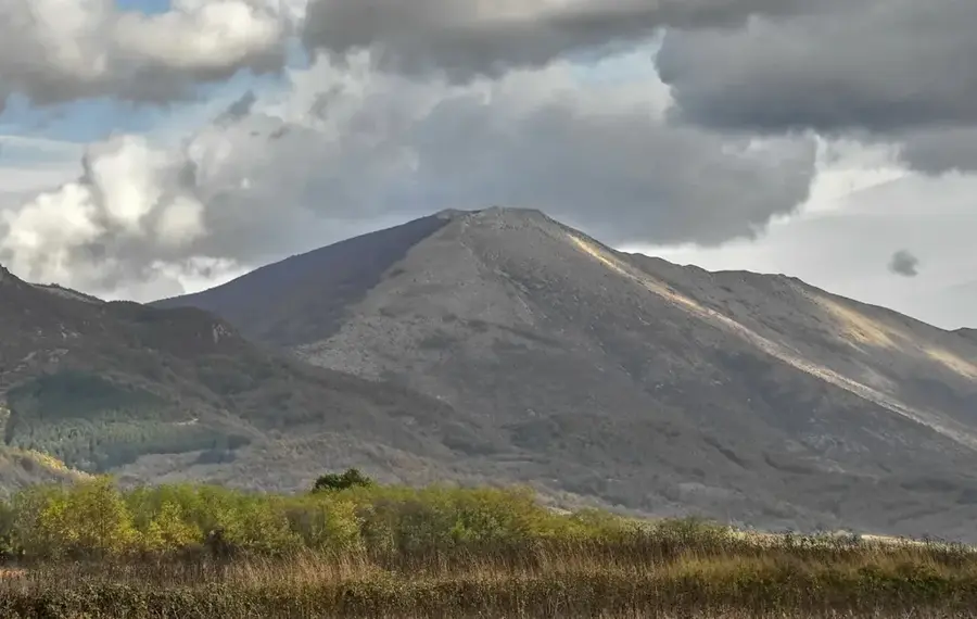
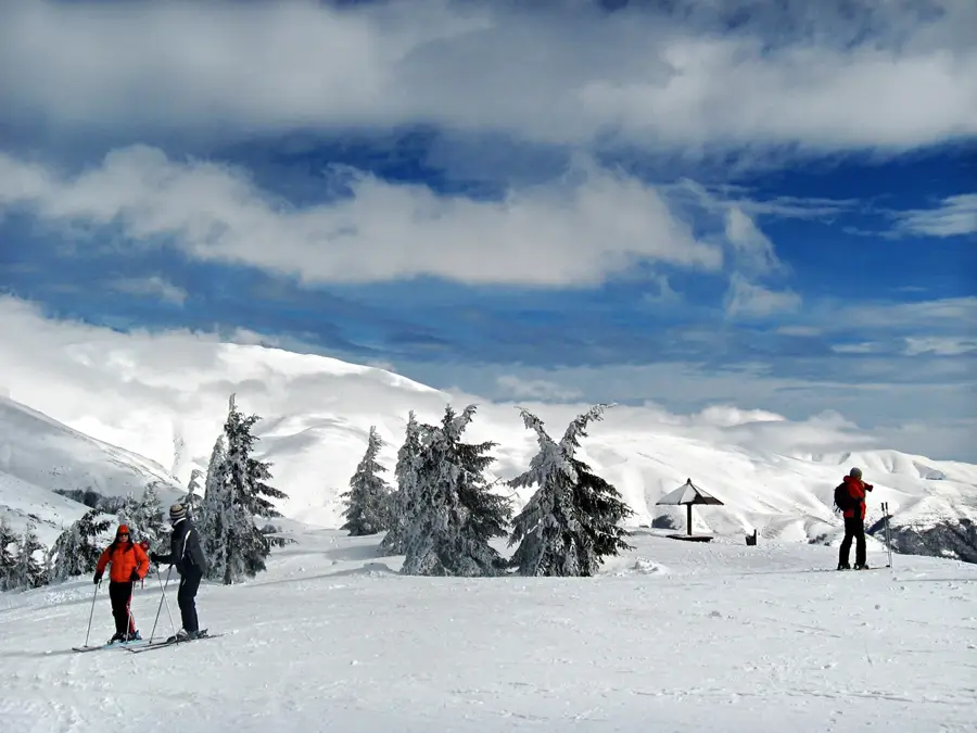
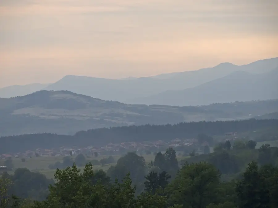
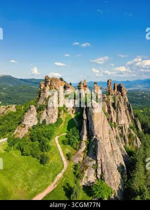
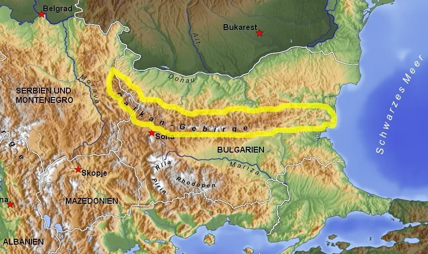
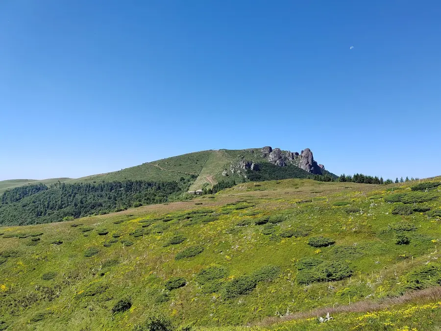
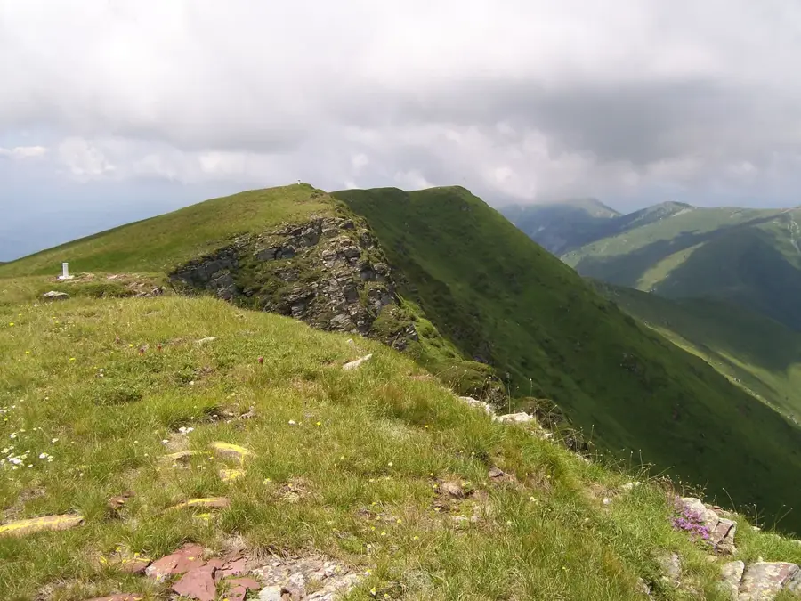
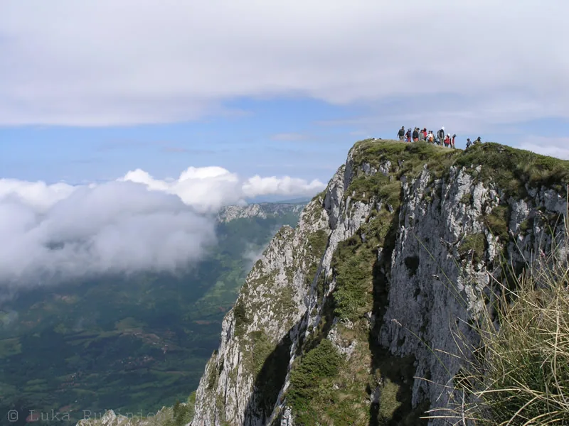
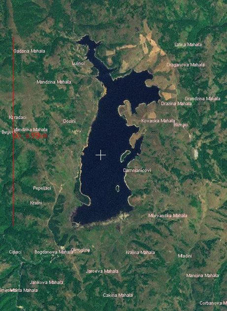
The Balkan Mountains, known in Serbia as Stara Planina, stretch along the border with Bulgaria and constitute one of the most impressive mountain ranges in the region. Hosting the Midžor peak, which reaches an altitude of 2,169 meters, it is the highest point in Central Serbia. The mountains are characterized by exceptional biodiversity and have been designated a Nature Park due to their profound ecological significance. Distinctive features of Stara Planina include its numerous waterfalls, such as the pretty Tupavica, as well as deep gorges and vast alpine pastures that provide a habitat for diverse flora and fauna. In addition to its ecological role, the range has recently evolved into a major center for mountain tourism, particularly through the development of modern ski resorts and extensive hiking trails. The traditional architecture of the mountain villages and the ancestral customs of the local population further enhance the region's cultural appeal. Stara Planina serves not only as a vital water reservoir and ecological sanctuary but also as a key driver for sustainable rural development in Eastern Serbia, attracting visitors year-round.
- Location: Serbia
- Top sights: Babin Zub · Plaža
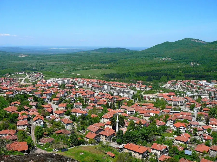
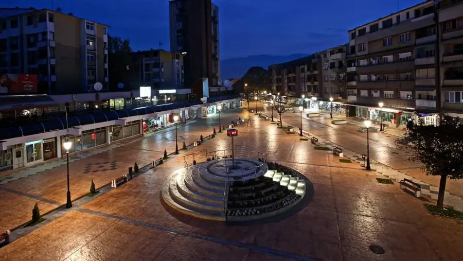
- Nearby: Pirot (24 km)
Best time to visit & climate
The most pleasant time to visit is Jun–Aug.
| Jan | Feb | Mar | Apr | May | Jun | Jul | Aug | Sep | Oct | Nov | Dec | |
|---|---|---|---|---|---|---|---|---|---|---|---|---|
| Avg °C | -2 | 0 | 5 | 10 | 15 | 20 | 23 | 23 | 17 | 11 | 5 | 0 |
| Rain mm | 48 | 49 | 54 | 54 | 74 | 70 | 58 | 51 | 50 | 60 | 51 | 52 |
📋 Practical info
Geography
Facts
- The Midžor peak is the highest point in Central Serbia at 2,169 meters.
- The mountain range extends for a total length of about 550 kilometers.
- The Stara Planina Nature Park was officially established in 1997.
- It is home to over 1,190 plant species, many of which are endemic.
- The Tupavica waterfall is among the most photographed in the Balkans.
- A modern ski center was opened in 2012 at Jabučko ravnište.
Explore nearby
Notable places around
Route planner — Car & Motorhome
Where do you start? We build the route here, with stops and country notes along the way.
© OpenStreetMap contributors · OpenRouteService
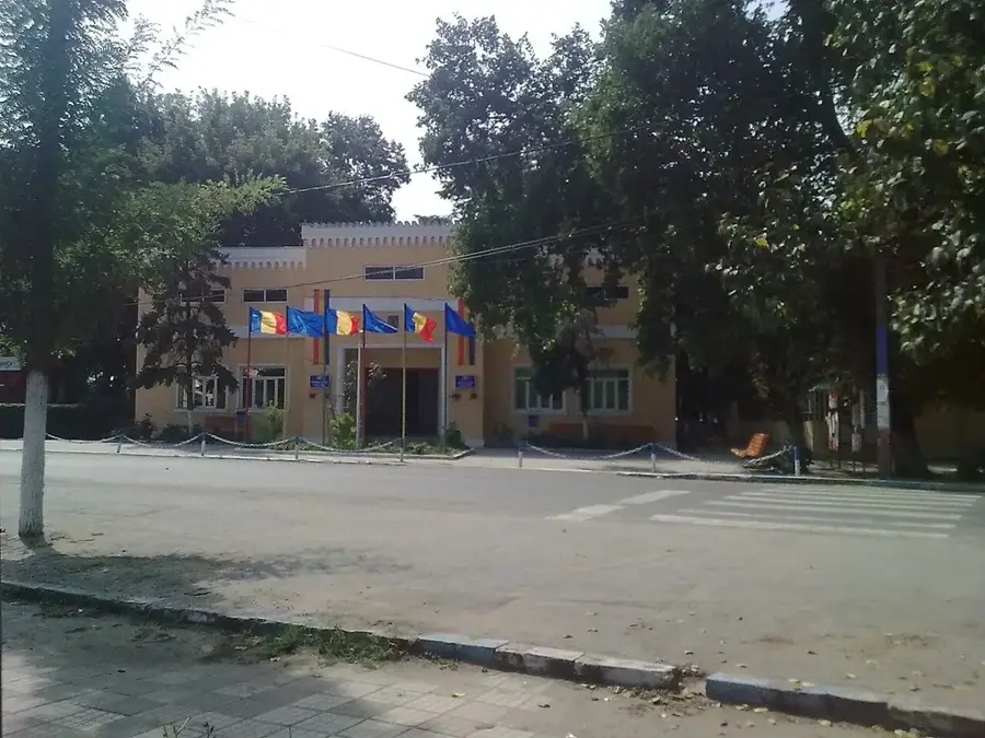
Sights in the town Stara Planina (2)
Sights nearby
Frequently asked questions
What is the highest peak of Stara Planina in Serbia?
Are there winter sports facilities?
What is special about the nature?
Is the mountain suitable for beginner hikers?
Can rare plants be found there?
Stara Planina: where is it located?
Stara Planina: what is there to see?
Stara Planina: when is the best time to visit?
Stara Planina: why is it worth visiting?

Nearby cities
History & landmarks
Nature
More places