Plizio Visual Lab
Sine plain
Weather…
Water temperature…
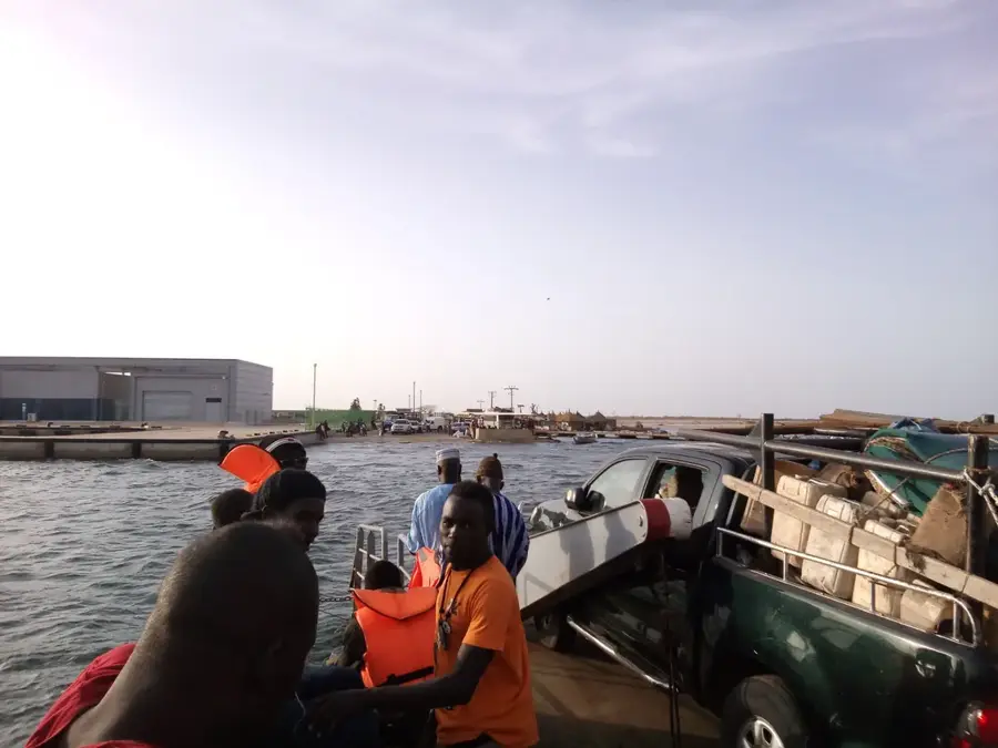
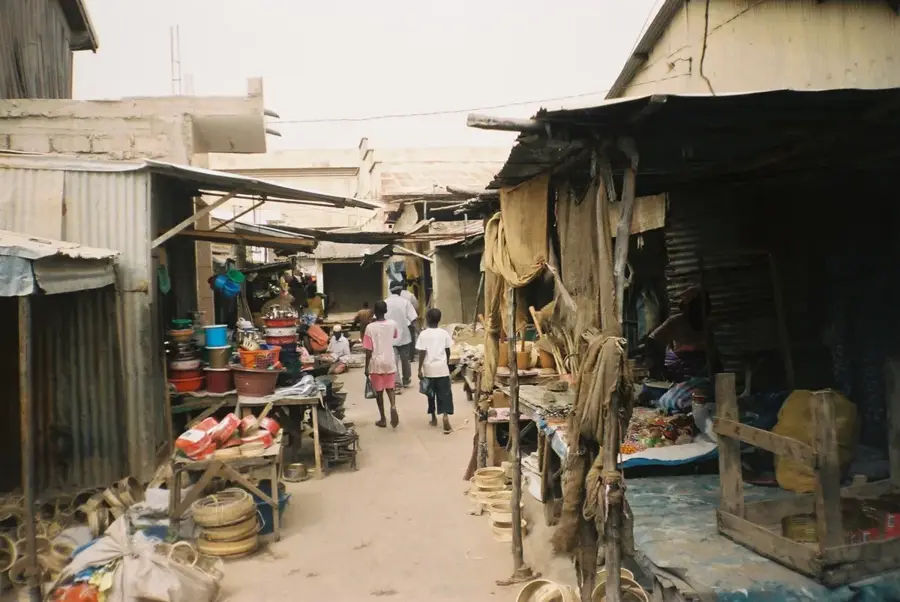
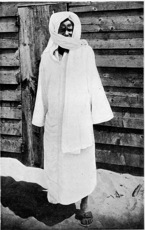
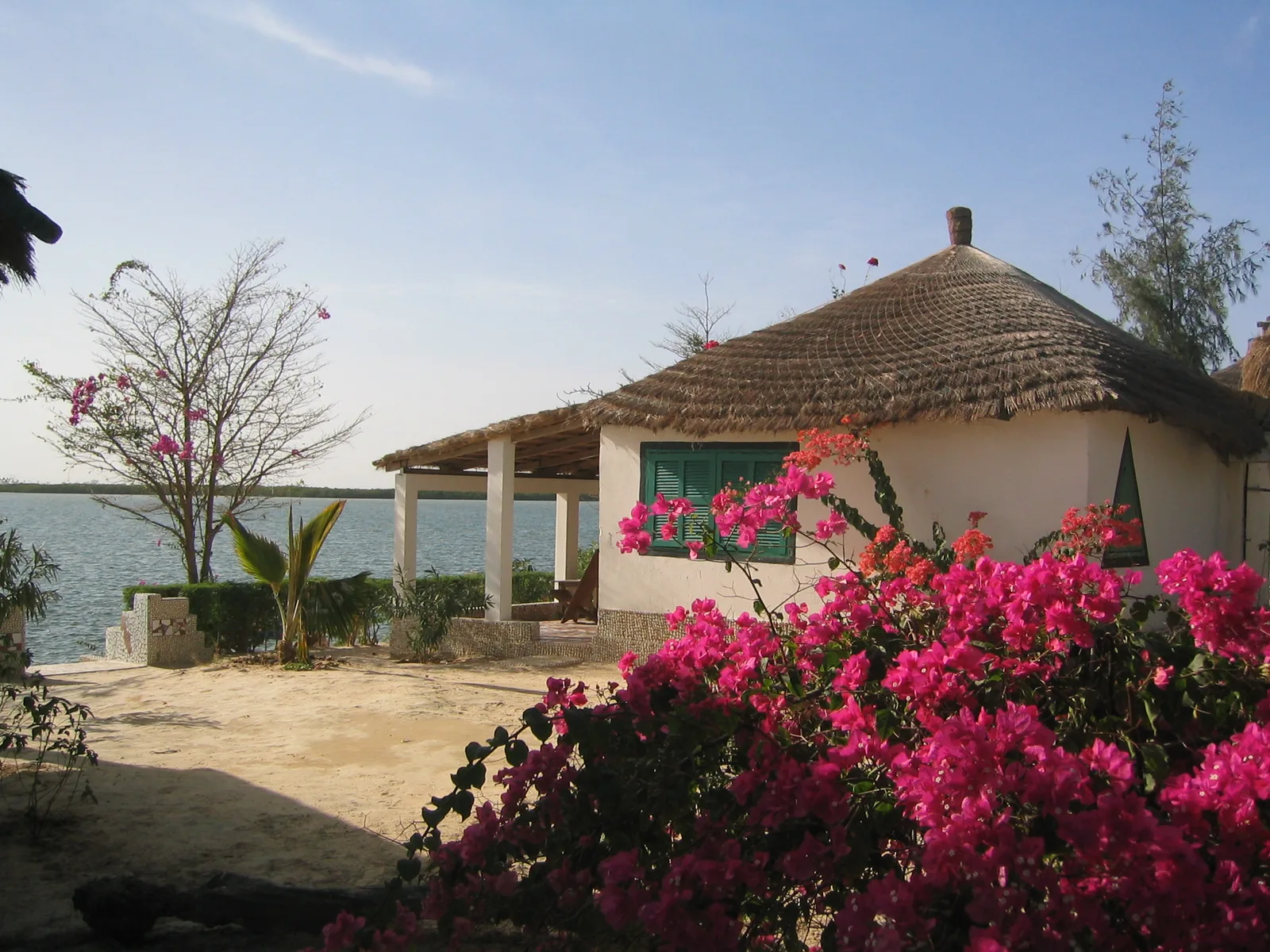
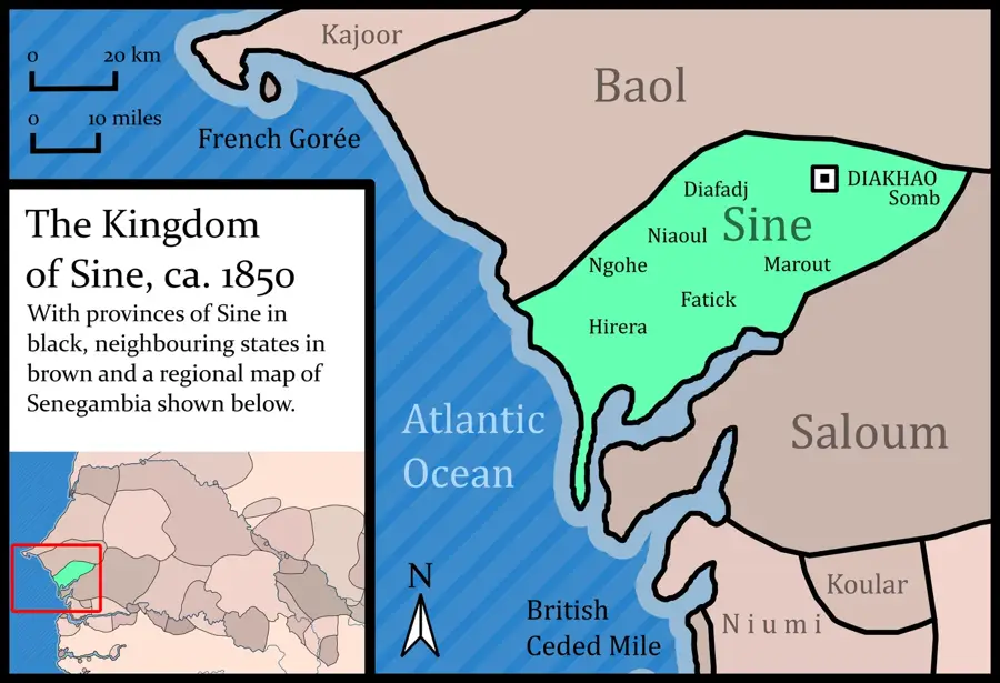
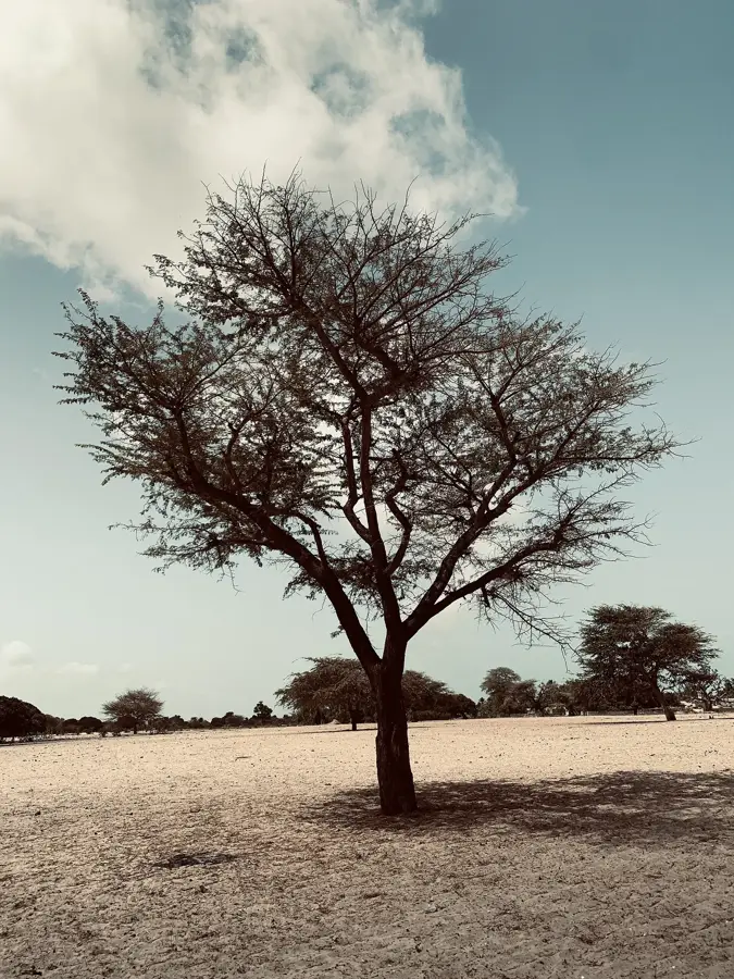
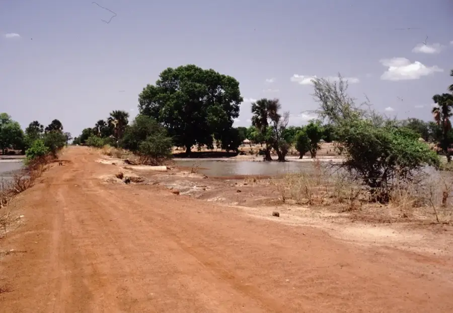
The Sine plain in central Senegal forms the heart of the so-called 'Peanut Basin' and is a vast, flat agricultural landscape. The relief is characterized by a gentle monotony, only occasionally interrupted by dry valleys and solitary baobab trees. Geologically, the plain consists of Quaternary loose sediments, providing a good foundation for rain-fed farming. Historically, this area was the center of the Kingdom of Sine, one of the most significant pre-colonial kingdoms of the Serer people, whose cultural heritage is still palpable in the villages today. The plain is shaped by intensive smallholder farming, where millet and sorghum are grown for subsistence alongside peanuts for commerce. During the dry season, the landscape transforms into a dusty savanna, while it quickly turns green during the short rainy season. Ecologically, the region is at risk from deforestation and soil overexploitation, leading to increasing degradation. Nevertheless, the Sine plain remains one of Senegal's most important socio-economic regions due to its high population density and agricultural productivity.
- Location: Senegal
- Nearby: Kaolack (15 km)
Best time to visit & climate
The most pleasant time to visit is Jan, Feb, Dec.
| Jan | Feb | Mar | Apr | May | Jun | Jul | Aug | Sep | Oct | Nov | Dec | |
|---|---|---|---|---|---|---|---|---|---|---|---|---|
| Avg °C | 24 | 26 | 28 | 29 | 30 | 30 | 28 | 27 | 27 | 28 | 27 | 25 |
| Rain mm | 1 | 1 | 1 | 2 | 2 | 51 | 142 | 264 | 203 | 56 | 2 | 0 |
📋 Practical info
Geography
Facts
- The Sine plain lies at an average of only 10 to 30 meters above sea level.
- It is the homeland of the Serer, Senegal's second-largest ethnic group.
- The historical Kingdom of Sine existed from approximately 1350 to 1969.
- Peanuts often account for over 50% of the utilized agricultural land.
- The region records about 400 to 600 mm of rainfall per year.
- The soil consists predominantly of sandy top layers, known as 'Dior' soils.
Explore nearby
Notable places around
Route planner — Car & Motorhome
Where do you start? We build the route here, with stops and country notes along the way.
© OpenStreetMap contributors · OpenRouteService
Sights nearby
Frequently asked questions
What characterizes the Sine Plain?
Is the area good for photographers?
What is the local specialty?
Is there tourist infrastructure there?
What should one keep in mind?
Sine plain: where is it located?
Sine plain: when is the best time to visit?
Sine plain: why is it worth visiting?

Nearby cities
History & landmarks
Nature

More places